Stock
Settlement in Somerset
England
Stock

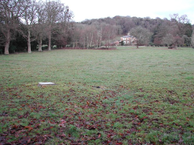
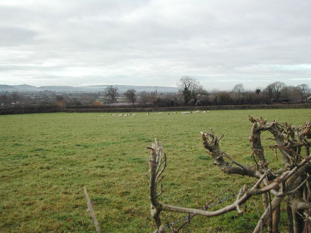
Stock is a small village located in the county of Somerset, England. It is situated approximately 7 miles north of Yeovil and 3 miles south of Wincanton. The village lies in the valley of the River Cam, surrounded by picturesque countryside, making it an idyllic rural retreat.
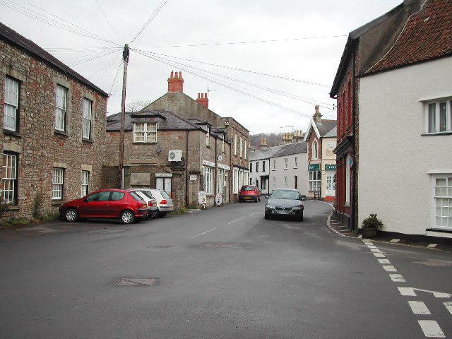
The history of Stock can be traced back to the Domesday Book in 1086 when it was referred to as "Stoche." The village has retained much of its historic charm with a number of well-preserved buildings from different periods. One notable landmark is the Grade II listed Stock House, a beautiful Georgian manor house that dates back to the early 18th century.
Stock is a close-knit community with a population of around 500 residents. The village boasts a range of amenities including a village hall, a primary school, and a local pub, providing a focal point for social gatherings and events. The surrounding area offers ample opportunities for outdoor activities such as walking, cycling, and horse riding, with numerous footpaths and bridleways crisscrossing the rolling countryside.
The village is well-connected to nearby towns and cities, with good road links to Yeovil, Wincanton, and the A303, providing easy access to the wider region. Despite its small size, Stock has a strong sense of community spirit, with various community groups and events held throughout the year, fostering a friendly and welcoming atmosphere.
In summary, Stock, Somerset is a charming village nestled in the heart of the Somerset countryside. Its rich history, beautiful surroundings, and tight-knit community make it an attractive place to live or visit for those seeking a peaceful and rural retreat.
If you have any feedback on the listing, please let us know in the comments section below.
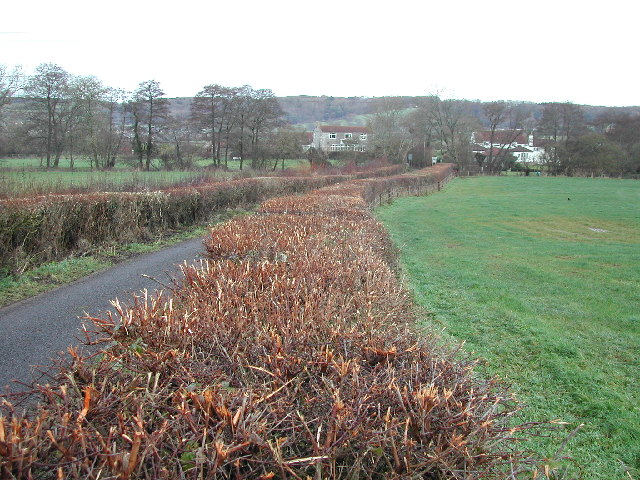
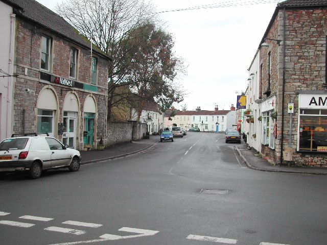
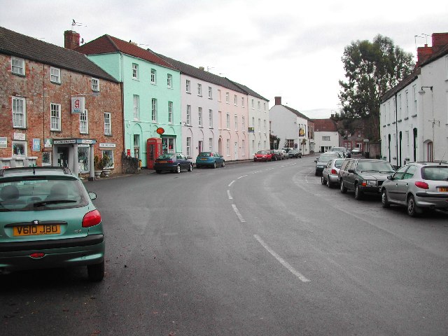
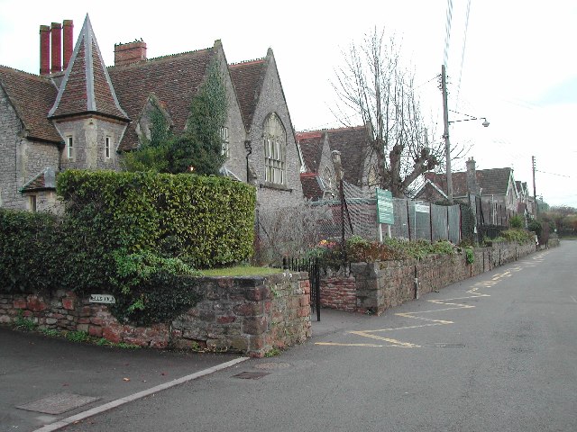
Stock Images
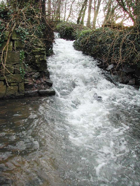
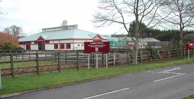
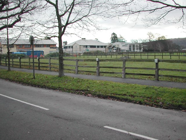
Images are sourced within 2km of 51.351622/-2.782012 or Grid Reference ST4561. Thanks to Geograph Open Source API. All images are credited.


Stock is located at Grid Ref: ST4561 (Lat: 51.351622, Lng: -2.782012)
Unitary Authority: North Somerset
Police Authority: Avon and Somerset
What 3 Words
///chuckle.prominent.sympathy. Near Churchill, Somerset
Nearby Locations
Related Wikis

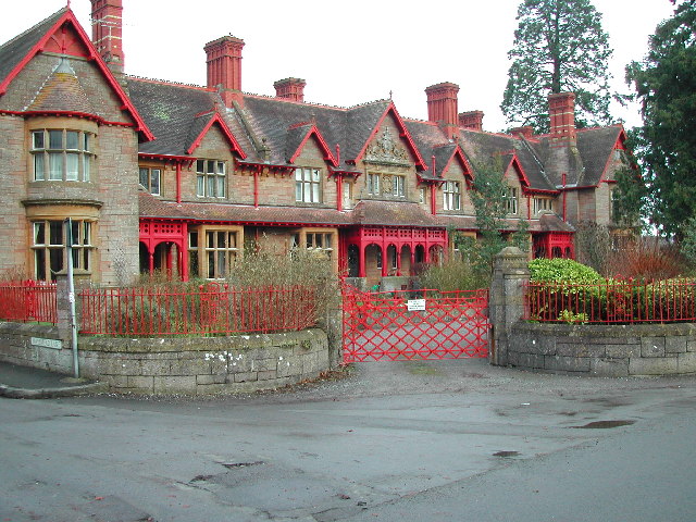
Meat Research Institute
The Meat Research Institute was a research institute in North Somerset. It was founded in 1967 to provide research for the British meat industry. ��2...

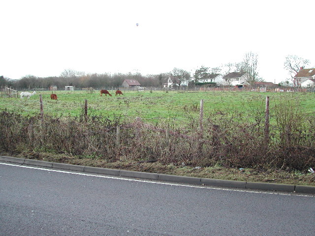
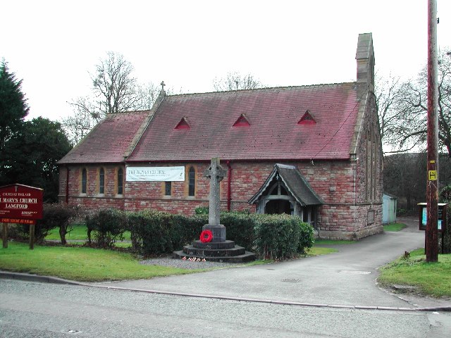
Lower Langford
Lower Langford is a village within the civil parishes of Churchill and Burrington in the unitary authority of North Somerset, England. It is located on...
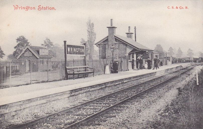
Wrington railway station
Wrington railway station was a station at Wrington on the Wrington Vale Light Railway, which ran from Congresbury to Blagdon, in Somerset, England. The...

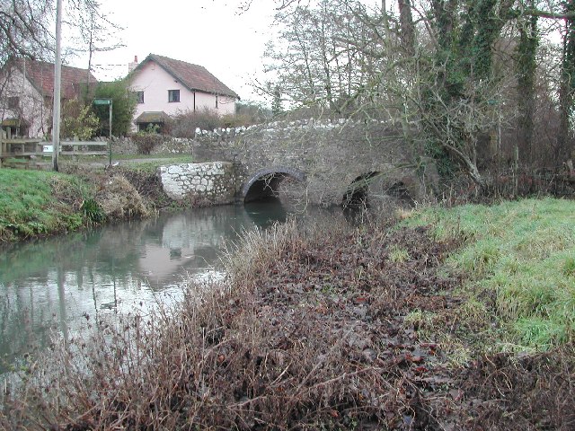
Bow Bridge, Iwood
Bow Bridge ( ) is a Grade II listed stone arched bridge, that crosses the Congresbury Yeo at Iwood, a hamlet of Congresbury in North Somerset. The bridge...
Nearby Amenities
Located within 500m of 51.351622,-2.782012Have you been to Stock?
Leave your review of Stock below (or comments, questions and feedback).