Shaw Common

Settlement in Gloucestershire Forest of Dean

England

Shaw Common

Holder's Farm and sheep field Holder's Farm, seen from the footpath through a sheep field.
Holder's Farm and sheep field Credit: Pebble

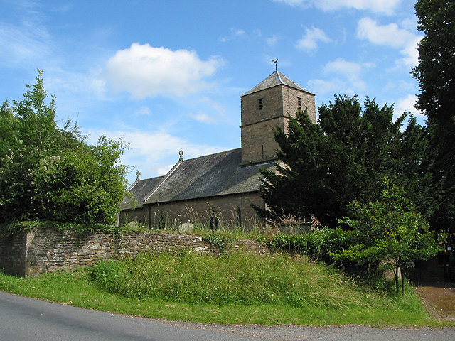
Shaw Common is a small village located in the county of Gloucestershire, England. Situated approximately 3 miles northeast of the town of Newent, Shaw Common is nestled in the beautiful countryside of the Forest of Dean district.

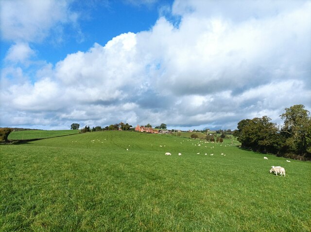
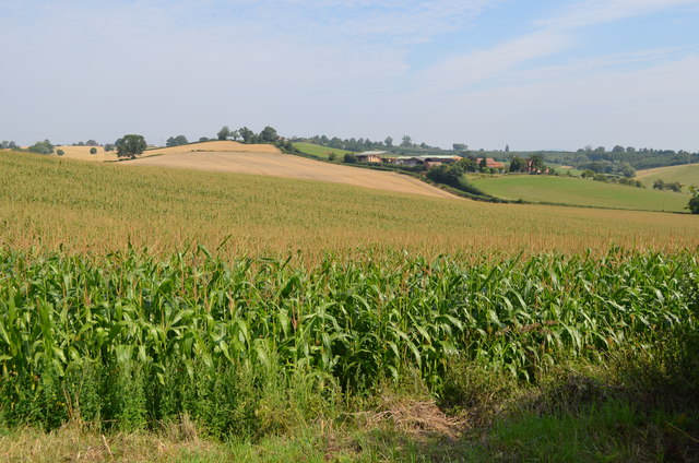
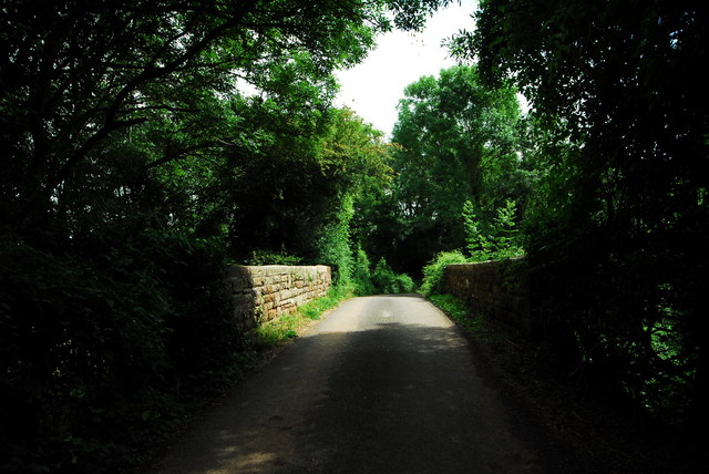
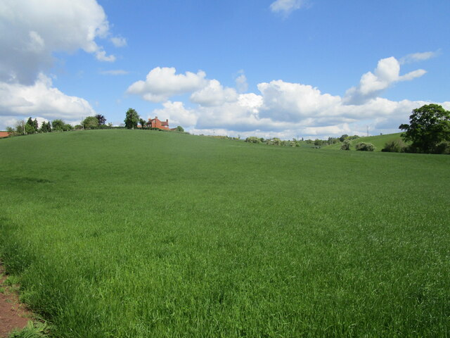
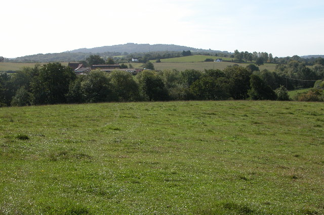
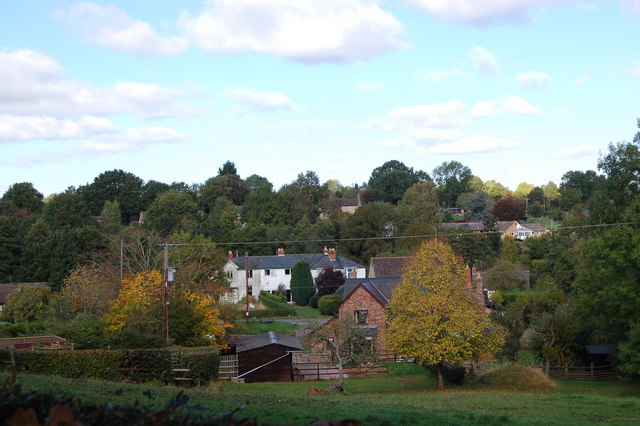
The village is characterized by its picturesque landscape, with rolling hills, lush green fields, and charming cottages dotting the area. It offers a tranquil and idyllic setting, making it an attractive destination for those seeking a peaceful retreat from the bustling city life.

Despite its small size, Shaw Common is well-connected to nearby towns and cities. The A40 road, which runs through the village, provides easy access to Gloucester, Cheltenham, and Ross-on-Wye. This convenient transportation network allows residents and visitors to explore the wider region with ease.

In terms of amenities, Shaw Common boasts a close-knit community with a range of local services. These include a village hall, a primary school, and a public house, where locals and visitors can enjoy a friendly atmosphere and traditional English pub fare.

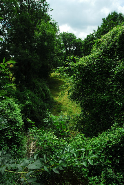
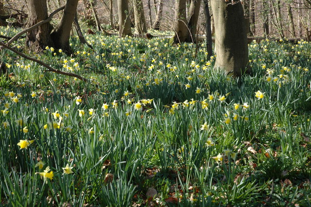
Nature enthusiasts will find Shaw Common to be a haven for outdoor activities. The surrounding area offers ample opportunities for walking, hiking, and cycling, with numerous trails and paths to explore. Additionally, the nearby Forest of Dean provides a wealth of wildlife and natural beauty, making it a popular destination for nature lovers.

Overall, Shaw Common is a charming rural village that offers a peaceful lifestyle, stunning scenery, and convenient access to nearby towns and natural attractions.

If you have any feedback on the listing, please let us know in the comments section below.
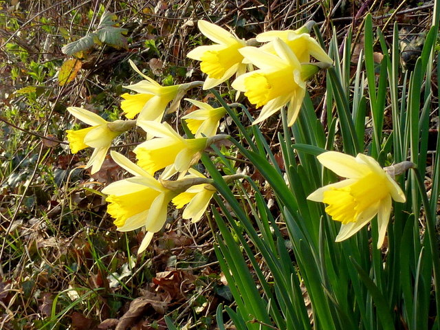
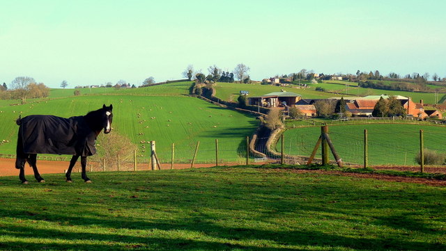
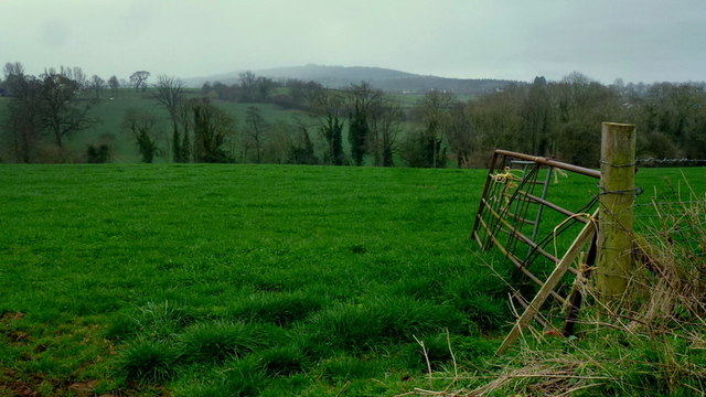
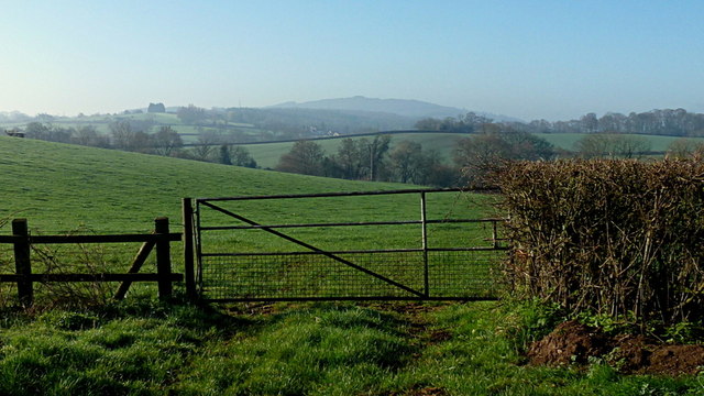
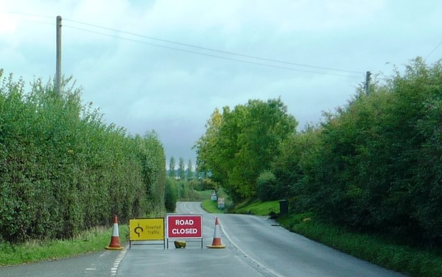
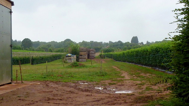
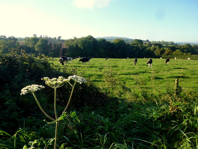
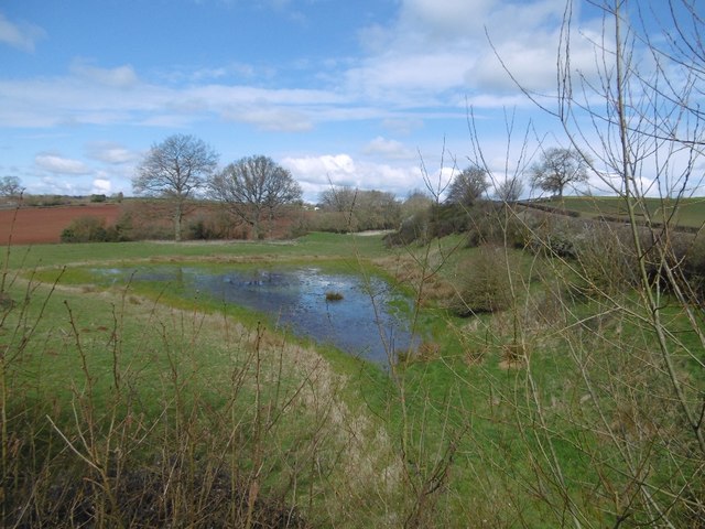
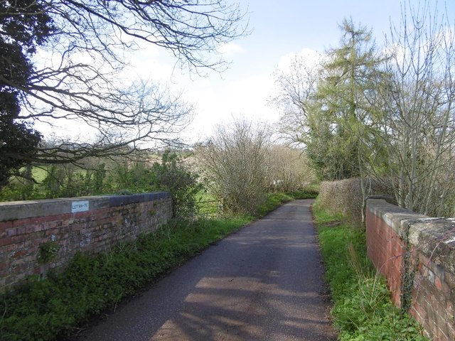
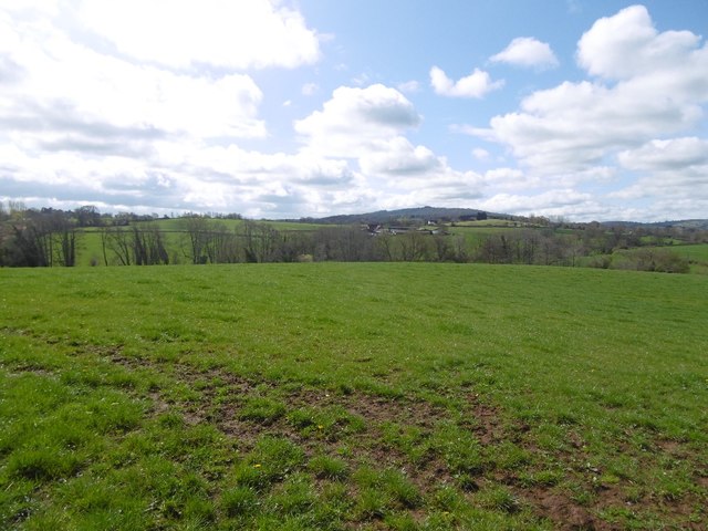
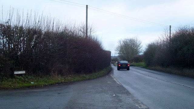
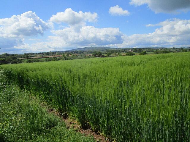
Shaw Common Images

Images are sourced within 2km of 51.940632/-2.4523621 or Grid Reference SO6927. Thanks to Geograph Open Source API. All images are credited.

Holder's Farm and sheep field Holder's Farm, seen from the footpath through a sheep field.
Holder's Farm and sheep field
Holder's Farm, seen from the footpath through a sheep field.
Maize field
Maize field
Former railway bridge near Oxenhall This bridge carries a minor road over the old Gloucester - Ledbury railway, which opened in 1885 and closed to passengers in 1959 (although the Dymock to Gloucester section remained in use by freight traffic until 1964). I didn't get a chance to get onto the trackbed to photograph the bridge itself so this shot of the side walls will have to do!
Former railway bridge near Oxenhall
This bridge carries a minor road over the old Gloucester - Ledbury railway, which opened in 1885 and closed to passengers in 1959 (although the Dymock to Gloucester section remained in use by freight traffic until 1964). I didn't get a chance to get onto the trackbed to photograph the bridge itself so this shot of the side walls will have to do!
Course of old railway at Oxenhall Taken from the old overbridge on the road between Dymock and Oxenhall. Much of this railway was constructed on the route of the old Gloucester - Hereford canal. However, the part pictured here was constructed by the GWR on a new alignment in order to avoid the canal tunnel at Oxenhall, which had been built down to a price and was falling to bits almost before it opened.
Course of old railway at Oxenhall
Taken from the old overbridge on the road between Dymock and Oxenhall. Much of this railway was constructed on the route of the old Gloucester - Hereford canal. However, the part pictured here was constructed by the GWR on a new alignment in order to avoid the canal tunnel at Oxenhall, which had been built down to a price and was falling to bits almost before it opened.
Wild daffodils in Whitehouse Lane After a cold February, these Narcissus pseudonarcissus are just fully opening.
Wild daffodils in Whitehouse Lane
After a cold February, these Narcissus pseudonarcissus are just fully opening.
Holder's Farm on its hill Paddocks in the foreground in this early spring scene.
Holder's Farm on its hill
Paddocks in the foreground in this early spring scene.
Misty view of May Hill Looking south from Whitehouse Lane over rolling countryside, opposite the entrance to Peter's Farm.
Misty view of May Hill
Looking south from Whitehouse Lane over rolling countryside, opposite the entrance to Peter's Farm.
May Hill, Easter Monday morning For another view from Whitehouse Lane see <a href="https://www.geograph.org.uk/photo/4419776">SO7026 : Misty view of May Hill</a>.
May Hill, Easter Monday morning
For another view from Whitehouse Lane see SO7026 : Misty view of May Hill.
B4221 during period of closure Taken just past road junction near the Kilcot Inn. Cars were diverted down side roads that led into Watery Lane.
B4221 during period of closure
Taken just past road junction near the Kilcot Inn. Cars were diverted down side roads that led into Watery Lane.
Raspberry growing by Conigree Lane, 2 A valuable crop with high capital investment.
Raspberry growing by Conigree Lane, 2
A valuable crop with high capital investment.
Dairy pasture View south of Hawthorne Hill with May Hill in the distance.
Dairy pasture
View south of Hawthorne Hill with May Hill in the distance.
Ledbury and Gloucester Railway The flooded area is now mapped as a pond. The line closed in 1964.
Ledbury and Gloucester Railway
The flooded area is now mapped as a pond. The line closed in 1964.
Bridge over the Ledbury and Gloucester Railway The railway closed in 1964.
Bridge over the Ledbury and Gloucester Railway
The railway closed in 1964.
View towards May Hill May Hill with its clump of trees is a landmark seen from over a great area.   It is on the northern edge of the Forest of Dean and is well wooded.
View towards May Hill
May Hill with its clump of trees is a landmark seen from over a great area. It is on the northern edge of the Forest of Dean and is well wooded.
B4221 at Kews lane, Kilcot Looking east towards Newent.
B4221 at Kews lane, Kilcot
Looking east towards Newent.
May Hill beyond a field of barley near Oxenhall
Grass field and Holder's Farm
Crooke's Farm and May Hill Crooke's Farm with May Hill in the background. When viewed at close range May Hill's distinctive clump of trees disappears.
Crooke's Farm and May Hill
Crooke's Farm with May Hill in the background. When viewed at close range May Hill's distinctive clump of trees disappears.
Show me another place!

Shaw Common is located at Grid Ref: SO6927 (Lat: 51.940632, Lng: -2.4523621)

Administrative County: Gloucestershire

District: Forest of Dean

Police Authority: Gloucestershire

What 3 Words

///tricks.craftsman.including. Near Newent, Gloucestershire

Related Wikis

Gwen and Vera's Fields

Gwen and Vera's Fields (grid reference SO696277) is a 0.28-hectare (0.69-acre) nature reserve in Gloucestershire.The site, which consists of two separate...

Ledbury and Gloucester Railway

The Ledbury and Gloucester Railway, (also known as the Daffodil Line), was a railway line in Herefordshire and Gloucestershire, England, running between...

Gorsley

Gorsley is a small village in the Forest of Dean district of Gloucestershire, forming part of the civil parish of Gorsley and Kilcot in the South West...

Gorsley and Kilcot

Gorsley and Kilcot is a civil parish forming part of the district of the Forest of Dean in the English county of Gloucestershire. The single parish of...

Dymock Woods SSSI

Dymock Woods (grid reference SO684288, SO692290, SO697283) is a 53-hectare (130-acre) biological Site of Special Scientific Interest in Gloucestershire...

Gorsley Common

Gorsley Common is a village in Herefordshire, west of Gorsley and Kilcot and east of Linton. == References == == External links == Media related to Gorsley...

Oxenhall

Oxenhall is a village and civil parish 10 miles (16 km) north west of Gloucester, in the Forest of Dean district, in the county of Gloucestershire, England...

Aston Ingham

Aston Ingham is a village in south-eastern Herefordshire, England, near Newent and about 7 miles (11 km) east of Ross-on-Wye. The population of the village...

Nearby Amenities

Located within 500m of 51.940632,-2.4523621
Parking
Capacity: 4
Fee: no
Lat/Long: 51.9424324/-2.4579221
Parking
Capacity: 4
Fee: no
Lat/Long: 51.9446612/-2.454167
Bench
Lat/Long: 51.9425121/-2.4582225
The data included in this document is from www.openstreetmap.org. The data is made available under ODbL.

Have you been to Shaw Common?

Leave your review of Shaw Common below (or comments, questions and feedback).