Wainhouse Grove

Wood, Forest in Gloucestershire Forest of Dean

England

Wainhouse Grove

Electric vehicle charging station A development off the car park at Three Shires Garden Centre.
Electric vehicle charging station Credit: Jonathan Billinger

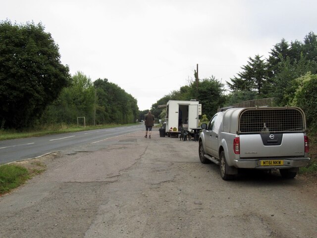
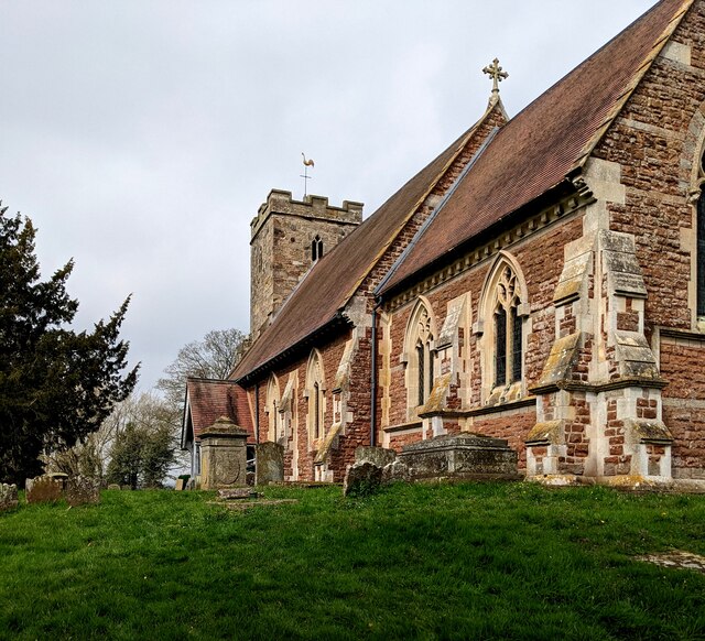
Wainhouse Grove is a charming woodland area located in Gloucestershire, England. Nestled within the beautiful Forest of Dean, this picturesque grove is a haven for nature enthusiasts and those seeking tranquility in a peaceful environment.

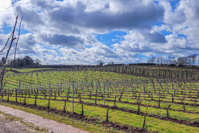
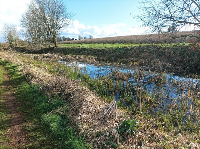
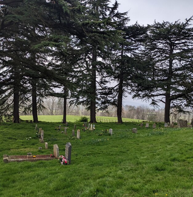
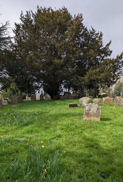
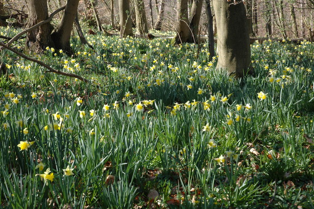
Covering an area of approximately 20 acres, Wainhouse Grove is characterized by its dense woodland comprising a variety of trees, including oak, birch, and beech. The grove is home to a diverse range of flora and fauna, making it an ideal destination for wildlife enthusiasts and birdwatchers. Visitors can expect to spot various species of birds, small mammals, and even deer in this natural sanctuary.

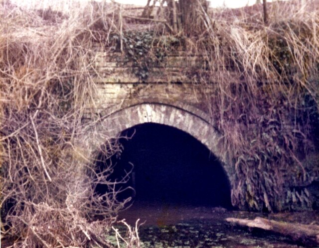
The grove offers a network of well-maintained walking trails, allowing visitors to explore its beauty at their own pace. At the heart of Wainhouse Grove lies a small stream, babbling softly as it meanders through the woodland. This stream adds to the charm of the grove, providing a calming soundtrack to accompany visitors on their walks.

In addition to its natural beauty, Wainhouse Grove also boasts several picnic areas, allowing visitors to relax and enjoy the surrounding scenery. The grove is well-equipped with benches, providing ample seating for visitors to sit back and soak in the peaceful atmosphere.

Wainhouse Grove is easily accessible and is a popular destination for locals and tourists alike. Whether you are a nature lover, a hiker, or simply seeking a serene escape from the hustle and bustle of everyday life, Wainhouse Grove is a delightful destination that offers a true taste of the Gloucestershire countryside.

If you have any feedback on the listing, please let us know in the comments section below.

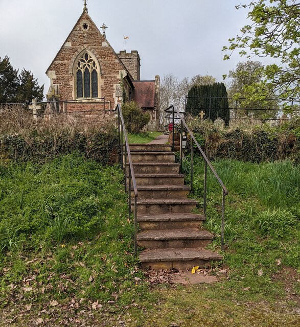
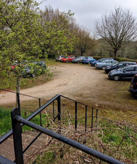
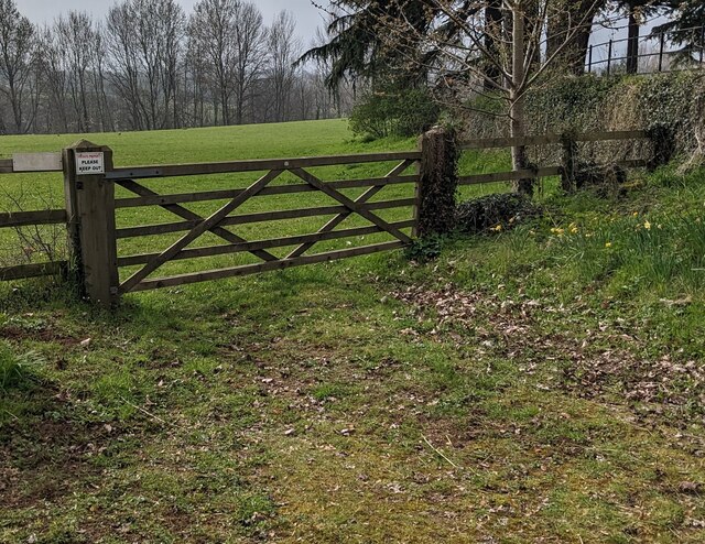
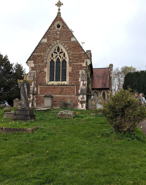
Wainhouse Grove Images

Images are sourced within 2km of 51.946063/-2.4380863 or Grid Reference SO6927. Thanks to Geograph Open Source API. All images are credited.

Electric vehicle charging station A development off the car park at Three Shires Garden Centre.
Electric vehicle charging station
A development off the car park at Three Shires Garden Centre.
Covered area at the garden centre Three Shires Garden Centre in late January.
The bulk of the colour comes from primroses.
Covered area at the garden centre
Three Shires Garden Centre in late January. The bulk of the colour comes from primroses.
Three Choirs Vineyard The March clouds crowd the sky above the source of Three Choirs fortune.
Three Choirs Vineyard
The March clouds crowd the sky above the source of Three Choirs fortune.
Oxenhall Canal Tunnel Southern Portal, 1979 A photograph taken in what looks to be fairly wintry conditions sometime in 1978/79.

It was in a pretty sorry state back then; work was undertaken to renovate it in the 90s (see David Stowell's picture here: <a title="https://www.geograph.org.uk/photo/3682" href="https://www.geograph.org.uk/photo/3682">Link</a> )  but it has, sadly, since fallen back into disrepair (John Winder's picture of 2011: <span class="nowrap"><a title="https://m.geograph.org.uk/photo/5997716" rel="nofollow ugc noopener" href="https://m.geograph.org.uk/photo/5997716">Link</a><img style="margin-left:2px;" alt="External link" title="External link - shift click to open in new window" src="https://s1.geograph.org.uk/img/external.png" width="10" height="10"/></span> )
Oxenhall Canal Tunnel Southern Portal, 1979
A photograph taken in what looks to be fairly wintry conditions sometime in 1978/79. It was in a pretty sorry state back then; work was undertaken to renovate it in the 90s (see David Stowell's picture here: Link ) but it has, sadly, since fallen back into disrepair (John Winder's picture of 2011: LinkExternal link )
Lambs Barn Pitch, Three Ashes By Three Ashes Lane.
Lambs Barn Pitch, Three Ashes
By Three Ashes Lane.
Tea trailer near Newent On the B4215
Tea trailer near Newent
On the B4215
Plant area at Three Shires Garden Centre Some very colourful Heucheras in the foreground.
Plant area at Three Shires Garden Centre
Some very colourful Heucheras in the foreground.
Disused canal The disused Herefordshire and Gloucestershire canal, north of Newent.
Disused canal
The disused Herefordshire and Gloucestershire canal, north of Newent.
Rolling hills A field with grassy rolling hills.
Rolling hills
A field with grassy rolling hills.
Old tractor A rusty blue tractor on the edge of a field.
Old tractor
A rusty blue tractor on the edge of a field.
Steps up to the churchyard, Oxenhall, Gloucestershire Ascending from a free car park to St Anne's churchyard 
in the Church of England Diocese of Gloucester.
Steps up to the churchyard, Oxenhall, Gloucestershire
Ascending from a free car park to St Anne's churchyard in the Church of England Diocese of Gloucester.
Free car park, Oxenhall, Gloucestershire Viewed from the top of these <a title="https://www.geograph.org.uk/photo/7451143" href="https://www.geograph.org.uk/photo/7451143">Link</a> steps.
Free car park, Oxenhall, Gloucestershire
Viewed from the top of these Link steps.
Field gate, Oxenhall, Gloucestershire A notice on the post on the left side of the gate shows
PRIVATE PROPERTY
PLEASE KEEP OUT
Field gate, Oxenhall, Gloucestershire
A notice on the post on the left side of the gate shows PRIVATE PROPERTY PLEASE KEEP OUT
East side of St Anne's Church, Oxenhall, Gloucestershire Grade II (Star) Listed church in the Church of England Diocese of Gloucester.
East side of St Anne's Church, Oxenhall, Gloucestershire
Grade II (Star) Listed church in the Church of England Diocese of Gloucester.
Evergreen trees in the churchyard, Oxenhall, Gloucestershire In St Anne's churchyard in the Church of England Diocese of Gloucester.
Evergreen trees in the churchyard, Oxenhall, Gloucestershire
In St Anne's churchyard in the Church of England Diocese of Gloucester.
South side of St Anne's Church, Oxenhall Grade II (Star) Listed church in the Church of England Diocese of Gloucester.
South side of St Anne's Church, Oxenhall
Grade II (Star) Listed church in the Church of England Diocese of Gloucester.
Yew, Oxenhall, Gloucestershire Evergreen tree in St Anne's churchyard.  The European Yew (Taxus baccata) 
is an evergreen tree often found in churchyards in the UK, Ireland, France
and northern parts of Spain.
Yew, Oxenhall, Gloucestershire
Evergreen tree in St Anne's churchyard. The European Yew (Taxus baccata) is an evergreen tree often found in churchyards in the UK, Ireland, France and northern parts of Spain.
Three Choirs vineyard The main buildings in the centre and a distant view of the Malvern Hills.
Three Choirs vineyard
The main buildings in the centre and a distant view of the Malvern Hills.
Show me another place!

Wainhouse Grove is located at Grid Ref: SO6927 (Lat: 51.946063, Lng: -2.4380863)

Administrative County: Gloucestershire

District: Forest of Dean

Police Authority: Gloucestershire

What 3 Words

///panthers.fewer.bristle. Near Newent, Gloucestershire

Related Wikis

Gwen and Vera's Fields

Gwen and Vera's Fields (grid reference SO696277) is a 0.28-hectare (0.69-acre) nature reserve in Gloucestershire.The site, which consists of two separate...

Ledbury and Gloucester Railway

The Ledbury and Gloucester Railway, (also known as the Daffodil Line), was a railway line in Herefordshire and Gloucestershire, England, running between...

Oxenhall

Oxenhall is a village and civil parish 10 miles (16 km) north west of Gloucester, in the Forest of Dean district, in the county of Gloucestershire, England...

Dymock Woods SSSI

Dymock Woods (grid reference SO684288, SO692290, SO697283) is a 53-hectare (130-acre) biological Site of Special Scientific Interest in Gloucestershire...

Pauntley

Pauntley is a village and civil parish in the district of Forest of Dean, Gloucestershire, England. In 2019 it had a population of 304. == School == Pauntley...

Castle Tump, Dymock

Castle Tump was a castle in the village of Dymock in Gloucestershire, England. The castle was built in either the 11th or more probably the early 12th...

Newent railway station

Newent railway station served the town of Newent in Gloucestershire, England. It opened on 27 July 1885 when the Newent Railway and the Ross and Ledbury...

Four Oaks Halt railway station

Four Oaks Halt was a request stop on the former Ledbury and Gloucester Railway. It was located 2 miles north of Newent. The station opened on 16 October...

Nearby Amenities

Located within 500m of 51.946063,-2.4380863
Barrier: stile
Lat/Long: 51.9435248/-2.4439067
Barrier: kissing_gate
Lat/Long: 51.9469588/-2.4451337
Barrier: lift_gate
Lat/Long: 51.9468423/-2.4434144
Barrier: stile
Lat/Long: 51.946618/-2.4450233
Wain House
Power: pole
Transformer: distribution
Voltage Primary: 11000
Lat/Long: 51.9465316/-2.4427816
Power: pole
Lat/Long: 51.9466341/-2.443888
Keepers Cottage
Power: pole
Transformer: distribution
Voltage Primary: 11000
Lat/Long: 51.9467217/-2.4450615
Power: pole
Lat/Long: 51.9470111/-2.4451903
Barrier: stile
Lat/Long: 51.9473643/-2.4381652
Barrier: stile
Lat/Long: 51.9459557/-2.4393068
The data included in this document is from www.openstreetmap.org. The data is made available under ODbL.

Have you been to Wainhouse Grove?

Leave your review of Wainhouse Grove below (or comments, questions and feedback).