Scriven

Settlement in Yorkshire Harrogate

England

Scriven

Main Street approaching its junction with Farnham Lane, Farnham
Main Street approaching its junction with Farnham Lane, Farnham Credit: habiloid

Scriven is a small village located in the county of Yorkshire, England. It is situated about 3 miles east of the historic town of Knaresborough and falls within the Harrogate district. With a population of around 200 residents, Scriven is a quaint and picturesque village that offers a peaceful and rural setting.

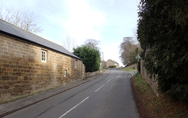
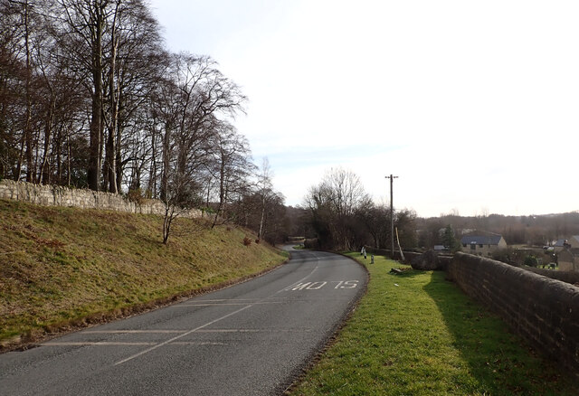
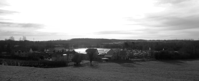
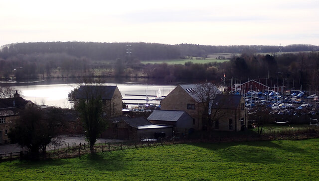
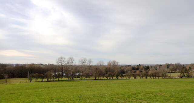
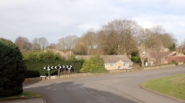
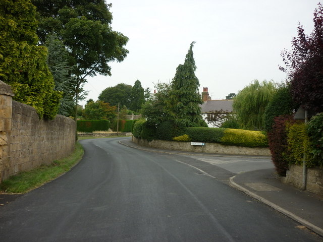
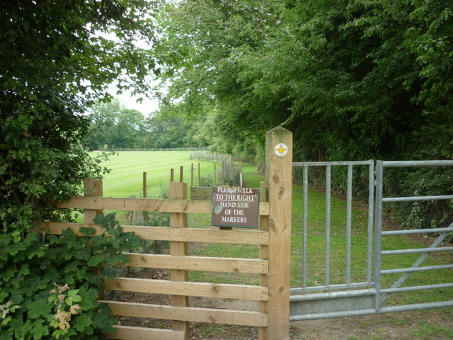
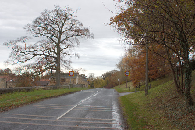
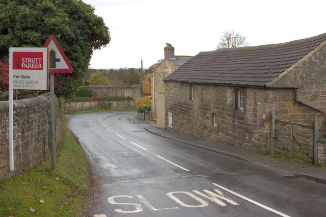
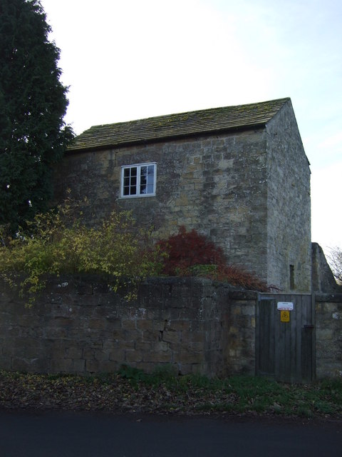
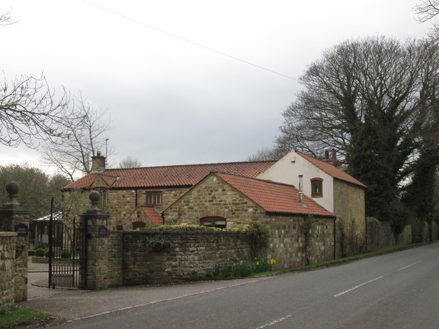
The village is characterized by its charming stone-built houses, many of which date back to the 18th and 19th centuries. The architecture reflects the traditional style of the region, with its distinctive Yorkshire stone facades and red-tiled roofs. The village is surrounded by rolling countryside, offering stunning views and plenty of opportunities for outdoor activities and walks.

Despite its small size, Scriven has a rich history. The village church, St. Thomas a Becket, is a notable landmark and has stood since the 12th century. The church is adorned with beautiful stained glass windows and features a well-preserved Norman doorway.

Scriven is conveniently located near the bustling market town of Knaresborough, which provides a range of amenities including shops, restaurants, and schools. The village also benefits from its proximity to the larger urban centers of Harrogate and Leeds, both of which are easily accessible by road and public transport.

In summary, Scriven is a charming and idyllic village in Yorkshire, known for its picturesque surroundings, historic architecture, and peaceful atmosphere. It is an ideal location for those seeking a rural escape while still being within reach of larger towns and cities.

If you have any feedback on the listing, please let us know in the comments section below.
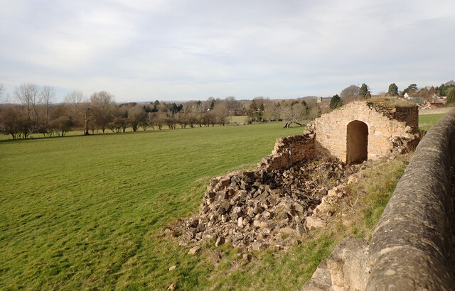
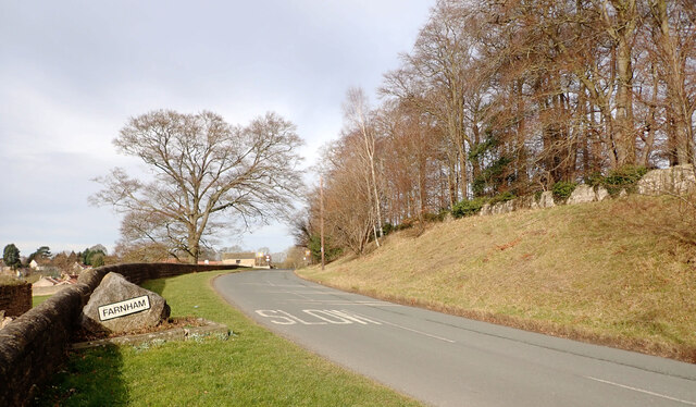
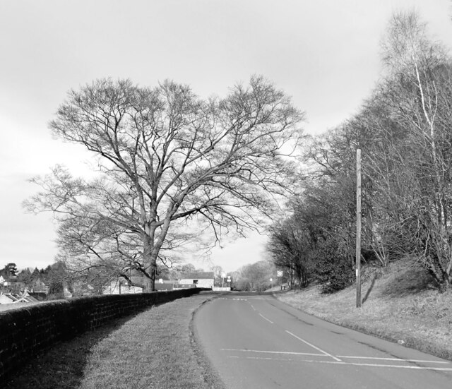
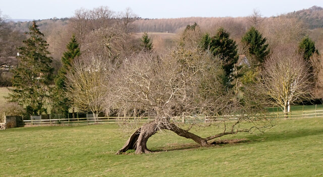
Scriven Images

Images are sourced within 2km of 54.021198/-1.469413 or Grid Reference SE3458. Thanks to Geograph Open Source API. All images are credited.

Main Street approaching its junction with Farnham Lane, Farnham
Farnham Lane, Farnham
Ripon Sailing Club seen from Farnham Lane, Farnham
A view from Farnham Lane, Farnham
Farnham Lane entering Farnham
Farnham Lane, Farnham
A view from Farnham Lane, Farnham
The junction of Main Street and Farnham Lane, Farnham
Stang Lane, Farnham, North Yorkshire
Heading west along Stang Lane, Farnham
The Knaresborough Round footpath at Stang Lane
Speed Limit Signs, Farnham
Main Street, Farnham There is a cut bench mark on the building to the right of the photograph and a closer view can be seen here: <a href="https://www.geograph.org.uk/photo/3749081">SE3560 : Cut Bench Mark, Main Street</a>.
Main Street, Farnham
There is a cut bench mark on the building to the right of the photograph and a closer view can be seen here: SE3560 : Cut Bench Mark, Main Street.
Cut Bench Mark, Main Street Bench Mark Database: <span class="nowrap"><a title="http://www.bench-marks.org.uk/bm52774" rel="nofollow ugc noopener" href="http://www.bench-marks.org.uk/bm52774">Link</a><img style="margin-left:2px;" alt="External link" title="External link - shift click to open in new window" src="https://s1.geograph.org.uk/img/external.png" width="10" height="10"/></span>
Cut Bench Mark, Main Street
Bench Mark Database: LinkExternal link
Stone house, Farnham
Stang Grange
Stang Grange
Show me another place!

Scriven is located at Grid Ref: SE3458 (Lat: 54.021198, Lng: -1.469413)

Division: West Riding

Administrative County: North Yorkshire

District: Harrogate

Police Authority: North Yorkshire

What 3 Words

///suffice.splat.adapt. Near Knaresborough, North Yorkshire

Related Wikis

Scriven

Scriven is a village and civil parish in the Harrogate district of North Yorkshire, England, close to the town of Knaresborough. From 1947 to 1998 Scriven...

Jacob Smith Park

Jacob Smith Park is a park owned by Harrogate Borough Council in the outskirts of Knaresborough, North Yorkshire, England. It is located in Scriven, and...

Knaresborough Zoo

Knaresborough Zoo was a zoo located in the grounds of Conyngham Hall, Knaresborough, a small market town within the district of Harrogate, North Yorkshire...

St John the Baptist Church, Knaresborough

St John the Baptist Church is a parish church in the Church of England located in Knaresborough, North Yorkshire. It is the largest church in the town...

Nidderdale Rural District

Nidderdale was a rural district in the West Riding of Yorkshire from 1938 to 1974. It was created from the combination of most of the disbanded rural districts...

Knaresborough railway station

Knaresborough railway station is a Grade II listed station serving the town of Knaresborough in North Yorkshire, England. It is located on the Harrogate...

Nidd Gorge

Nidd Gorge makes up a section of the River Nidd in North Yorkshire, England, in which the river enters a deep ravine with sheer tree-covered valley sides...

Knaresborough Hay Park Lane railway station

Knaresborough Hay Park Lane railway station was a temporary railway station that served the town of Knaresborough, North Yorkshire, England from 1848 to...

Nearby Amenities

Located within 500m of 54.021198,-1.469413
Scriven
Is In: UK,England,Yorkshire,North Yorkshire
Place: hamlet
Lat/Long: 54.0208538/-1.4699715
Mini Roundabout
Direction: clockwise
Lat/Long: 54.0202732/-1.4680779
Post Box
Post Box Type: lamp
Source: survey
Lat/Long: 54.0213744/-1.4693212
Noexit: yes
Lat/Long: 54.0226234/-1.4643813
Noexit: yes
Lat/Long: 54.0226898/-1.4626031
Noexit: yes
Lat/Long: 54.0213685/-1.465188
Noexit: yes
Lat/Long: 54.022069/-1.4648938
Noexit: yes
Lat/Long: 54.0226827/-1.4628994
Crossing
Crossing: traffic_signals
Lat/Long: 54.0186826/-1.4633879
Post Box
Post Box Mounting: brick_pillar
Post Box Type: wall
Ref: HG5 207
Royal Cypher: GR
Royal Cypher Wikidata: Q33102273
Lat/Long: 54.0195936/-1.4626305
Power: pole
Lat/Long: 54.0251151/-1.4719426
Power: pole
Lat/Long: 54.0247288/-1.4706591
Power: pole
Lat/Long: 54.0243506/-1.4694276
Power: pole
Lat/Long: 54.0239454/-1.4680881
Power: pole
Lat/Long: 54.0235532/-1.4668106
Power: pole
Lat/Long: 54.0231785/-1.4655751
Design: h-frame
Line Management: branch
Material: wood
Power: tower
Lat/Long: 54.0228356/-1.4644536
Power: pole
Lat/Long: 54.0248279/-1.4734426
Power: pole
Lat/Long: 54.0241544/-1.4736544
Power: pole
Lat/Long: 54.0235513/-1.4637245
Power: pole
Lat/Long: 54.0222721/-1.4654308
Power: pole
Lat/Long: 54.0217096/-1.4664119
Power: pole
Lat/Long: 54.0211787/-1.4673758
Information: guidepost
Tourism: information
Lat/Long: 54.02032/-1.4679895
Flag Name: Yorkshire
Flag Type: regional
Man Made: flagpole
Lat/Long: 54.0212295/-1.4694924
Defibrillator
Emergency: defibrillator
Ref GB The Circuit: 2776E9ED-B5F6-43A9-94C6-B02A009BD09C
Lat/Long: 54.0203691/-1.4681566
The Pastures
Place: neighbourhood
Lat/Long: 54.0217181/-1.4629983
The data included in this document is from www.openstreetmap.org. The data is made available under ODbL.

Have you been to Scriven?

Leave your review of Scriven below (or comments, questions and feedback).