High Wood
Wood, Forest in Yorkshire Harrogate
England
High Wood
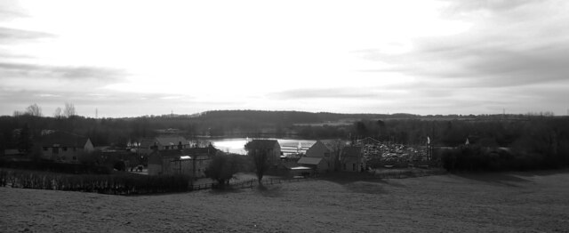
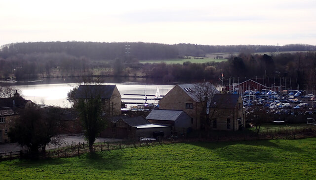
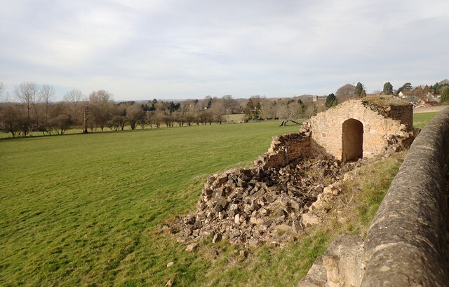
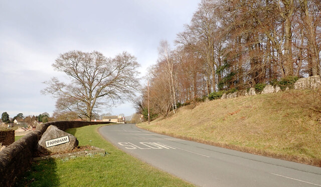
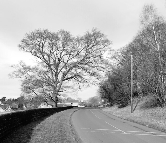
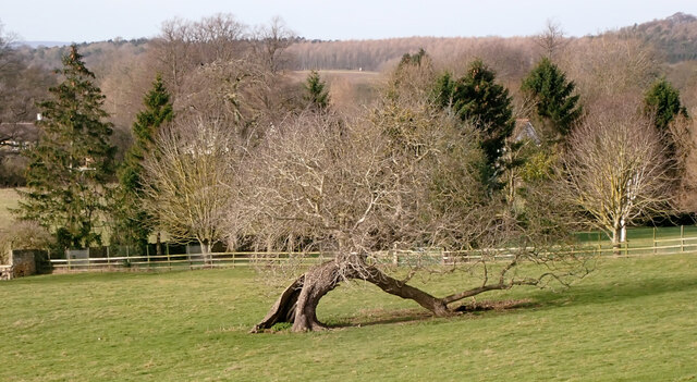
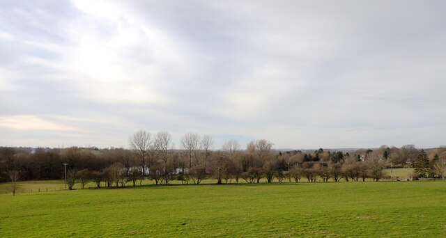
High Wood is a picturesque forest located in Yorkshire, England. Nestled in the heart of the countryside, this woodland area is renowned for its natural beauty and abundant wildlife. Covering an expansive area of approximately 500 acres, High Wood offers a tranquil retreat for nature lovers and outdoor enthusiasts alike.
The forest is predominantly composed of a variety of deciduous trees, including oak, beech, and birch, which provide a dense canopy of foliage during the summer months. This creates a cool and shaded environment, perfect for leisurely walks and exploration. The forest floor is blanketed with a rich carpet of wildflowers and ferns, adding to the enchanting atmosphere.
High Wood is home to a diverse range of wildlife, making it a popular spot for birdwatching and nature photography. Visitors can expect to see a plethora of bird species such as woodpeckers, owls, and various songbirds. Squirrels, foxes, and occasionally deer can also be spotted within the wooded areas.
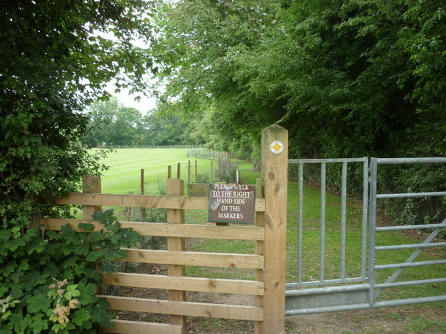
The forest is crisscrossed by a network of well-maintained footpaths, allowing visitors to easily navigate and explore its many hidden treasures. These paths lead to charming picnic areas and scenic viewpoints, offering breathtaking vistas of the surrounding countryside.
High Wood is a haven for outdoor activities such as hiking, cycling, and horseback riding, with designated trails catering to all levels of fitness and ability. Additionally, the forest is equipped with ample parking facilities and restroom amenities to ensure a comfortable and enjoyable visit for all.
Overall, High Wood in Yorkshire is a captivating destination for nature enthusiasts, offering a captivating blend of natural beauty, wildlife, and recreational opportunities. Whether seeking solitude or adventure, this forest provides an idyllic setting for individuals and families to reconnect with nature.
If you have any feedback on the listing, please let us know in the comments section below.
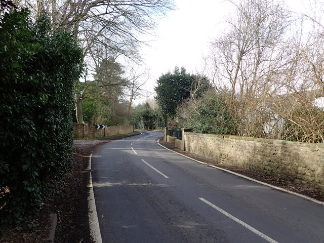
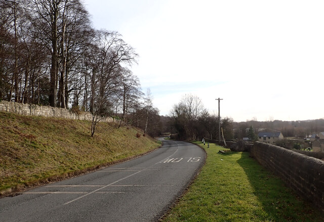
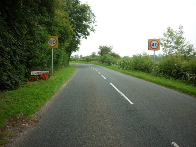
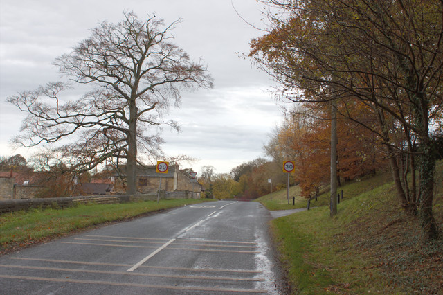
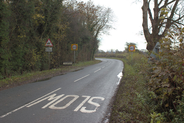
High Wood Images
Images are sourced within 2km of 54.021576/-1.4759958 or Grid Reference SE3458. Thanks to Geograph Open Source API. All images are credited.


High Wood is located at Grid Ref: SE3458 (Lat: 54.021576, Lng: -1.4759958)
Division: West Riding
Administrative County: North Yorkshire
District: Harrogate
Police Authority: North Yorkshire
What 3 Words
///link.fidgeted.savings. Near Knaresborough, North Yorkshire
Nearby Locations
Related Wikis

Scriven
Scriven is a village and civil parish in the Harrogate district of North Yorkshire, England, close to the town of Knaresborough. From 1947 to 1998 Scriven...

Jacob Smith Park
Jacob Smith Park is a park owned by Harrogate Borough Council in the outskirts of Knaresborough, North Yorkshire, England. It is located in Scriven, and...

Nidd Gorge
Nidd Gorge makes up a section of the River Nidd in North Yorkshire, England, in which the river enters a deep ravine with sheer tree-covered valley sides...

Knaresborough Zoo
Knaresborough Zoo was a zoo located in the grounds of Conyngham Hall, Knaresborough, a small market town within the district of Harrogate, North Yorkshire...

St John the Baptist Church, Knaresborough
St John the Baptist Church is a parish church in the Church of England located in Knaresborough, North Yorkshire. It is the largest church in the town...

Mother Shipton's Cave
Mother Shipton's Cave (or "Old Mother Shipton's Cave") is at Knaresborough, North Yorkshire, England, near the River Nidd. Nearby is a petrifying well...

Knaresborough railway station
Knaresborough railway station is a Grade II listed station serving the town of Knaresborough in North Yorkshire, England. It is located on the Harrogate...
Nidderdale Rural District
Nidderdale was a rural district in the West Riding of Yorkshire from 1938 to 1974. It was created from the combination of most of the disbanded rural districts...
Nearby Amenities
Located within 500m of 54.021576,-1.4759958Have you been to High Wood?
Leave your review of High Wood below (or comments, questions and feedback).