Guiseley Hill
Hill, Mountain in Yorkshire Harrogate
England
Guiseley Hill

Guiseley Hill is a prominent geological feature located in the town of Guiseley, West Yorkshire, England. Rising 188 meters (617 feet) above sea level, it is classified as a hill rather than a mountain. The hill is situated within the Wharfedale Valley and offers stunning panoramic views of the surrounding countryside.
Covered in lush greenery, Guiseley Hill is a popular destination for both locals and tourists alike, attracting nature enthusiasts, hikers, and families seeking a peaceful retreat. The hill is accessible via well-maintained footpaths, making it an ideal spot for leisurely walks and picnics. The pathways are surrounded by a diverse range of native flora and fauna, including wildflowers, oak trees, and various bird species.
At the summit of Guiseley Hill, visitors are rewarded with breathtaking vistas of the surrounding Yorkshire countryside. On a clear day, one can see as far as the Yorkshire Dales National Park, with its rolling hills and picturesque villages. The hill also provides an excellent vantage point for admiring the nearby Chevin Forest Park, which lies to the south.
In addition to its natural beauty, Guiseley Hill has historical significance. The hill is home to several ancient burial mounds, known as round barrows, dating back to the Bronze Age. These ancient structures serve as a reminder of the area's rich cultural heritage and are of interest to archaeologists and history enthusiasts.
Overall, Guiseley Hill offers a peaceful and idyllic setting for those seeking natural beauty, outdoor activities, and a glimpse into Yorkshire's past. Whether it's a leisurely stroll, a family day out, or a summit hike, this hill provides a memorable experience for all who visit.
If you have any feedback on the listing, please let us know in the comments section below.
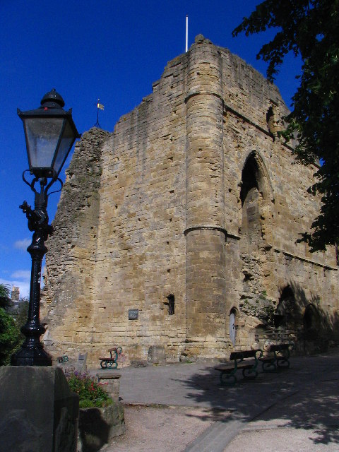
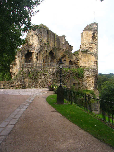
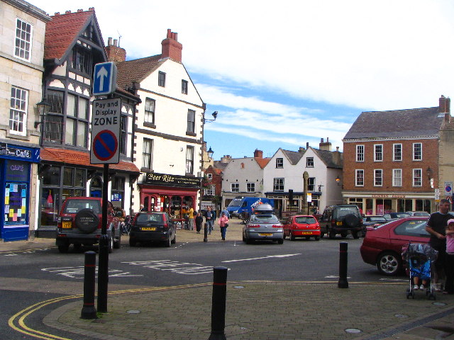
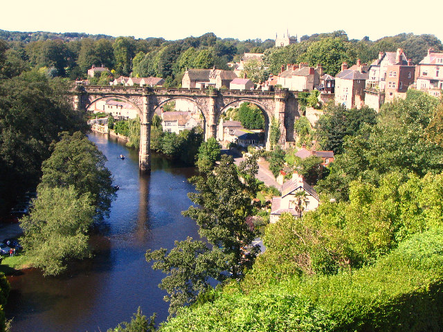
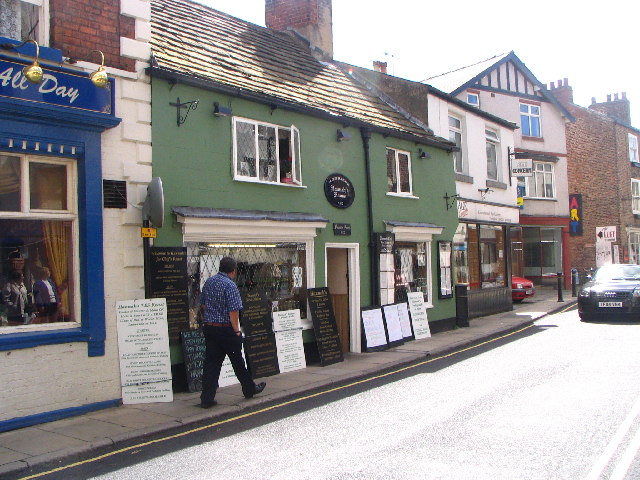
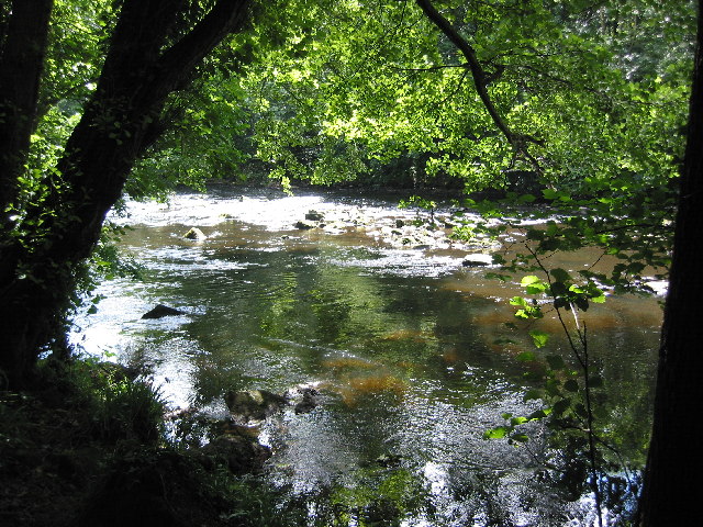
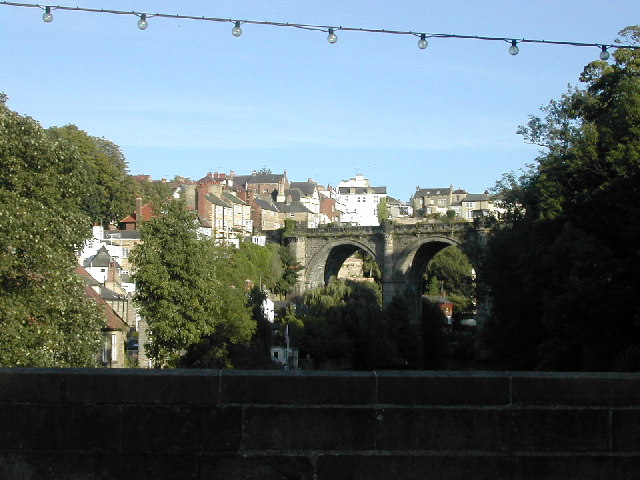
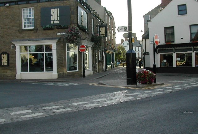
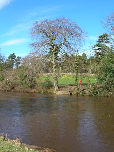
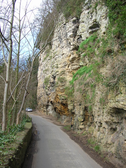
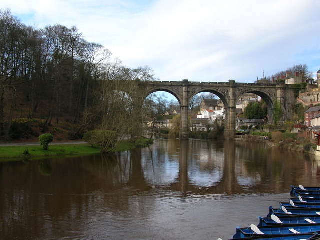
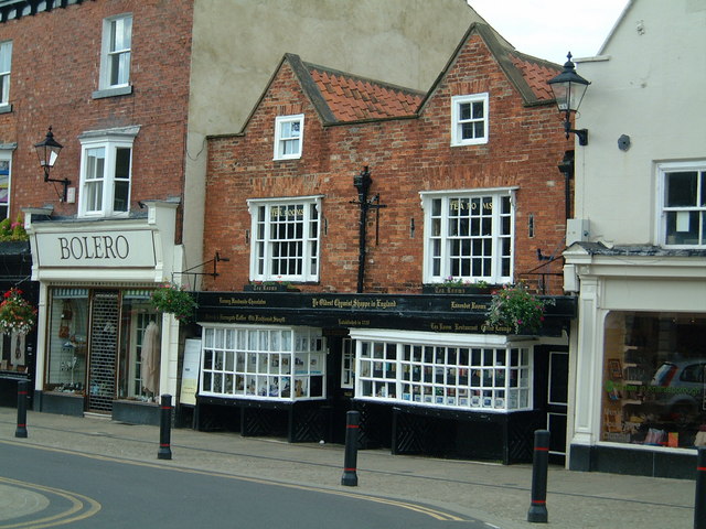
Guiseley Hill Images
Images are sourced within 2km of 54.017093/-1.4723741 or Grid Reference SE3458. Thanks to Geograph Open Source API. All images are credited.
Guiseley Hill is located at Grid Ref: SE3458 (Lat: 54.017093, Lng: -1.4723741)
Division: West Riding
Administrative County: North Yorkshire
District: Harrogate
Police Authority: North Yorkshire
What 3 Words
///character.explained.downcast. Near Knaresborough, North Yorkshire
Nearby Locations
Related Wikis

Jacob Smith Park
Jacob Smith Park is a park owned by Harrogate Borough Council in the outskirts of Knaresborough, North Yorkshire, England. It is located in Scriven, and...

Scriven
Scriven is a village and civil parish in the Harrogate district of North Yorkshire, England, close to the town of Knaresborough. From 1947 to 1998 Scriven...

Knaresborough Zoo
Knaresborough Zoo was a zoo located in the grounds of Conyngham Hall, Knaresborough, a small market town within the district of Harrogate, North Yorkshire...

St John the Baptist Church, Knaresborough
St John the Baptist Church is a parish church in the Church of England located in Knaresborough, North Yorkshire. It is the largest church in the town...

Knaresborough railway station
Knaresborough railway station is a Grade II listed station serving the town of Knaresborough in North Yorkshire, England. It is located on the Harrogate...
Nidderdale Rural District
Nidderdale was a rural district in the West Riding of Yorkshire from 1938 to 1974. It was created from the combination of most of the disbanded rural districts...

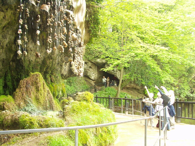
Mother Shipton's Cave
Mother Shipton's Cave (or "Old Mother Shipton's Cave") is at Knaresborough, North Yorkshire, England, near the River Nidd. Nearby is a petrifying well...

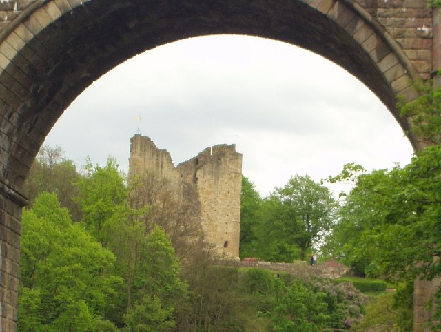
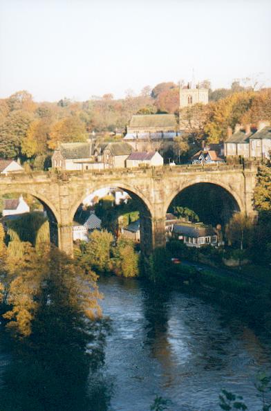
Knaresborough Viaduct
Knaresborough Viaduct is a viaduct in the North Yorkshire town of Knaresborough, England. The viaduct carries the Harrogate line over the River Nidd in...
Nearby Amenities
Located within 500m of 54.017093,-1.4723741Have you been to Guiseley Hill?
Leave your review of Guiseley Hill below (or comments, questions and feedback).