Elstob Hill

Hill, Mountain in Durham

England

Elstob Hill

Great Stainton, All Saints church According to the OS benchmark database there is a benchmark cut into a supporting buttress. I was unable to find it.
Great Stainton, All Saints church Credit: Mel Towler

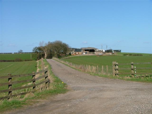
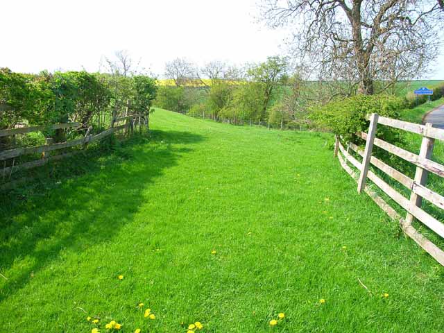
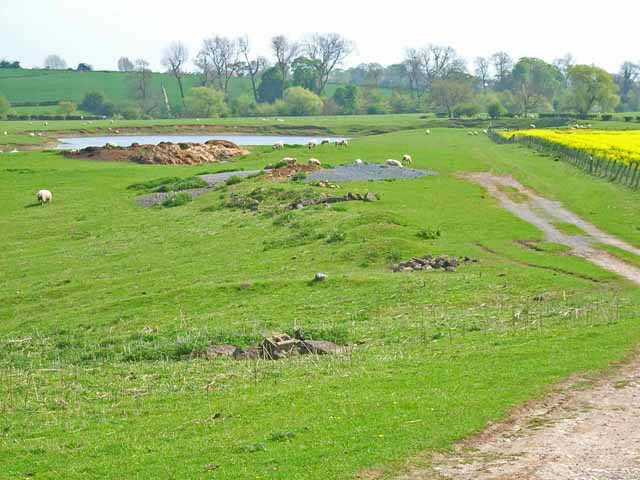
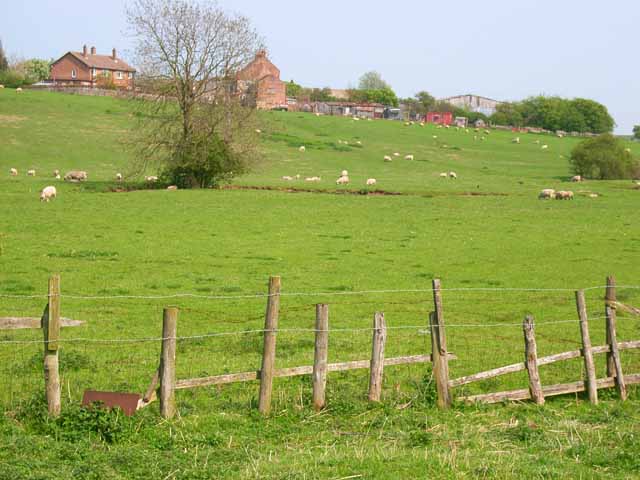
Elstob Hill is a prominent hill located near Durham in the North East of England. Standing at an elevation of 217 meters (712 feet), it offers stunning panoramic views of the surrounding countryside and the city of Durham. The hill is a popular destination for hikers, walkers, and nature enthusiasts due to its easily accessible walking trails and diverse flora and fauna.

The landscape of Elstob Hill is characterized by rolling green fields, woodlands, and meadows, making it a peaceful and picturesque setting for outdoor activities. The hill is also home to a variety of wildlife, including birds of prey, deer, and rabbits.

At the summit of Elstob Hill, there is a trig point that marks the highest point on the hill and provides a reference point for surveying and mapping purposes. The hill is easily accessible by foot or by car, with parking available at the base for visitors.

Overall, Elstob Hill is a beautiful natural landmark that offers a peaceful escape from the hustle and bustle of city life, making it a popular destination for locals and visitors alike.

If you have any feedback on the listing, please let us know in the comments section below.
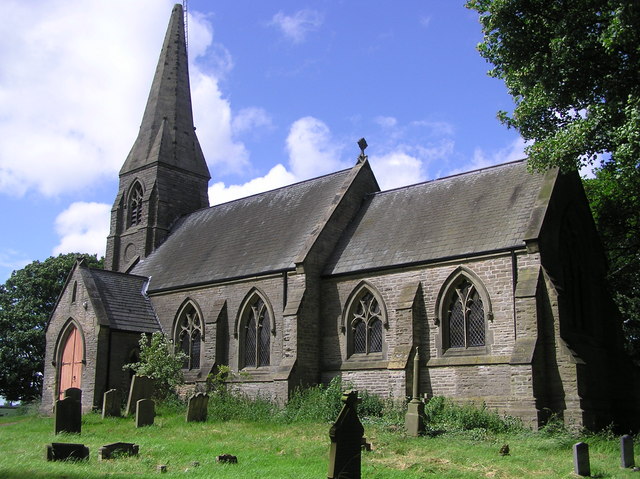
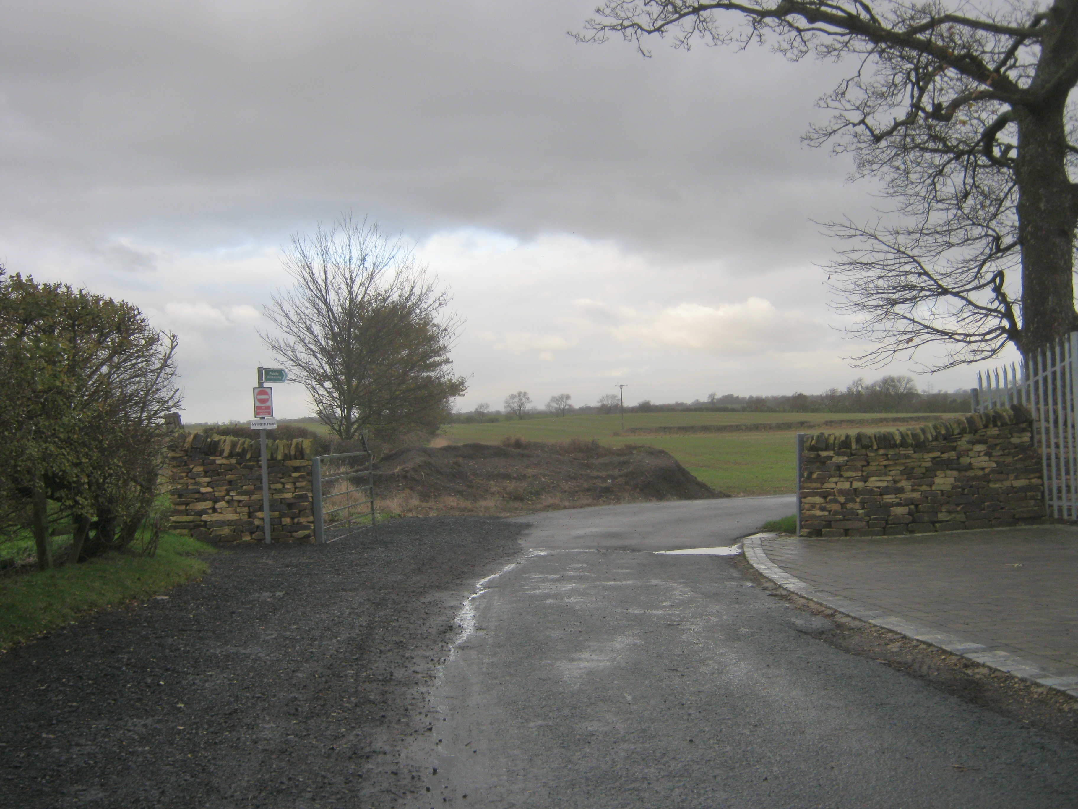
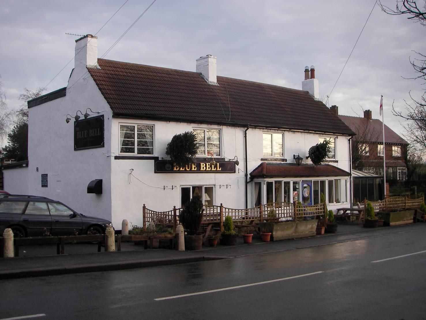
Elstob Hill Images

Images are sourced within 2km of 54.600937/-1.4646091 or Grid Reference NZ3422. Thanks to Geograph Open Source API. All images are credited.

Great Stainton, All Saints church According to the OS benchmark database there is a benchmark cut into a supporting buttress. I was unable to find it.
Great Stainton, All Saints church
According to the OS benchmark database there is a benchmark cut into a supporting buttress. I was unable to find it.
Church The parish church of Great Stainton near Darlington
Church
The parish church of Great Stainton near Darlington
Triangulation Pillar at West House Field Farm
Track to Broad Lea
Track to Broad Lea
Pasture, Lea Close
Pasture, Lea Close
Great Stainton All Saints Church Viewed from the NW across the fields. An alternative name for Great Stainton is Stainton-le-Street, derived from its position on the old Roman road from Pountney's Bridge at Middleton St George to Durham.
Great Stainton All Saints Church
Viewed from the NW across the fields. An alternative name for Great Stainton is Stainton-le-Street, derived from its position on the old Roman road from Pountney's Bridge at Middleton St George to Durham.
Field beside the Bishopton to Mordon road The boundary between Stockton and County Durham can be seen in the background (right of picture).
Field beside the Bishopton to Mordon road
The boundary between Stockton and County Durham can be seen in the background (right of picture).
West Farm Lake, Stillington A fishing lake. For details see <span class="nowrap"><a title="http://www.ukcoarsefishing.net/forum/showthread.php?t=229" rel="nofollow ugc noopener" href="http://www.ukcoarsefishing.net/forum/showthread.php?t=229">Link</a><img style="margin-left:2px;" alt="External link" title="External link - shift click to open in new window" src="https://s1.geograph.org.uk/img/external.png" width="10" height="10"/></span>
West Farm Lake, Stillington
A fishing lake. For details see LinkExternal link
Old Stillington viewed from the Beck
Viewley Hill  Farm South west of Great Stainton
Viewley Hill Farm
South west of Great Stainton
Kings Arms : Great Stainton.
Crossroads :  Looking east  towards Stillington Bridge
Crossroads : Looking east towards Stillington Bridge
Track to Stillington Pumping  Station
Track to Stillington Pumping Station
Bishopton  Crossing Railway Crossing of the former Clarence Railway 1833.
Bishopton Crossing
Railway Crossing of the former Clarence Railway 1833.
Elstob Hill Farm.
Elstob Hill Farm.
Elstob  Hall
Elstob Hall
Old  Stillington East end of village with Town Farm on the right
Old Stillington
East end of village with Town Farm on the right
Elstob Crossing, East Looking east toward Bishopton Crossing, along disused railway embankment of the Clarence Railway (1833).
Elstob Crossing, East
Looking east toward Bishopton Crossing, along disused railway embankment of the Clarence Railway (1833).
Show me another place!

Elstob Hill is located at Grid Ref: NZ3422 (Lat: 54.600937, Lng: -1.4646091)

Unitary Authority: County Durham

Police Authority: Durham

What 3 Words

///title.intervals.riders. Near Bishopton, Co. Durham

Related Wikis

Old Stillington

Old Stillington is a village in County Durham, in England. It is situated a few miles to the north-west of Stockton-on-Tees, and a short distance from...

Great Stainton

Great Stainton is a village in the borough of Darlington and ceremonial county of County Durham, England. It is situated to the north of Darlington, and...

Foxton, County Durham

Foxton is a small village in County Durham, England. It is situated to the north-west of Stockton-on-Tees, near Stillington. The origin of the place-name...

Bishopton, County Durham

Bishopton is a village in the borough of Darlington and the ceremonial county of County Durham, England. It is situated to the west of Stockton-on-Tees...

Have you been to Elstob Hill?

Leave your review of Elstob Hill below (or comments, questions and feedback).