Brier Hill

Hill, Mountain in Yorkshire Harrogate

England

Brier Hill

Old milepost One of the two remaining mileposts along this 6 mile stretch of the B6265, this is how the photographer found it in March 2022.  When it was first recorded in 2006 it was already very sunken in this narrow verge.
Old milepost Credit: Hilary Jones

Brier Hill is a small hill located in the picturesque region of Yorkshire, England. Situated in the rural village of Brier, this hill offers stunning views of the surrounding countryside and is a popular destination for hikers and nature enthusiasts.

Standing at approximately 150 meters above sea level, Brier Hill is not particularly tall compared to other peaks in the area but still provides a sense of elevation and a panoramic perspective. The hill is covered with lush green vegetation, including grasses, shrubs, and scattered trees, creating a serene and idyllic atmosphere. Wildflowers, such as daisies and buttercups, add splashes of color to the landscape during the spring and summer months.

The hill is easily accessible, with well-maintained footpaths leading to its summit. These paths meander through the surrounding countryside, providing walkers with an opportunity to enjoy the breathtaking scenery and observe the local wildlife, including birds and small mammals. On a clear day, visitors can even catch a glimpse of the nearby River Aire, which winds its way through the valley below.

Brier Hill offers a peaceful retreat away from the hustle and bustle of urban life. It is a popular spot for picnics, where visitors can relax and soak in the tranquil surroundings. Additionally, the hill is often used as a vantage point for photographers, who capture the beauty of the rolling hills and the changing colors of the landscape throughout the seasons.

Overall, Brier Hill in Yorkshire is a hidden gem, offering a serene and natural escape for those seeking to connect with nature and enjoy the stunning views that the region has to offer.

If you have any feedback on the listing, please let us know in the comments section below.
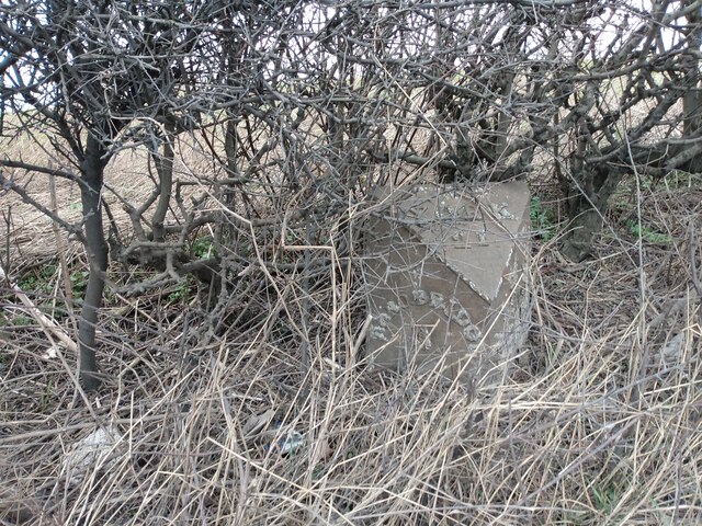
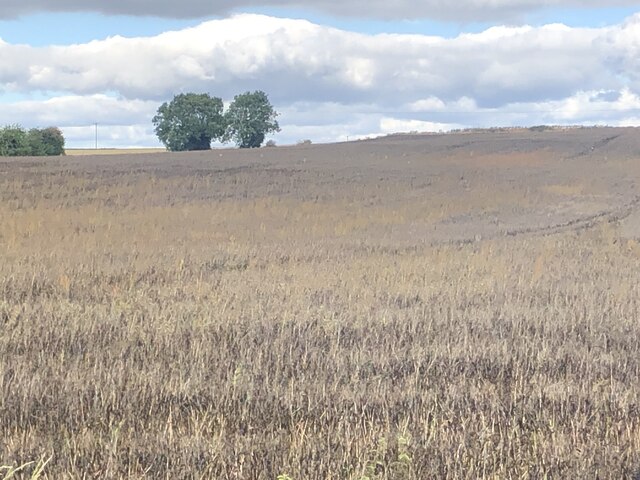
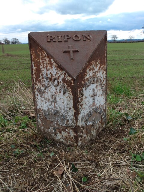
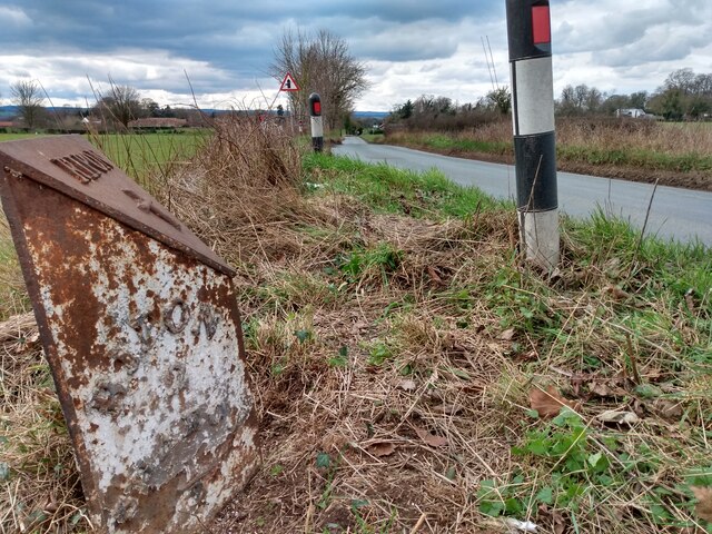
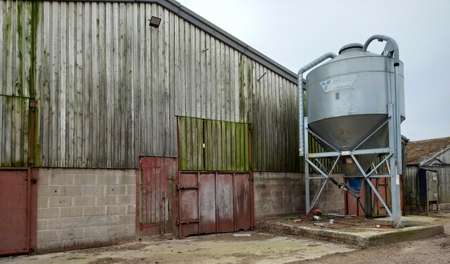
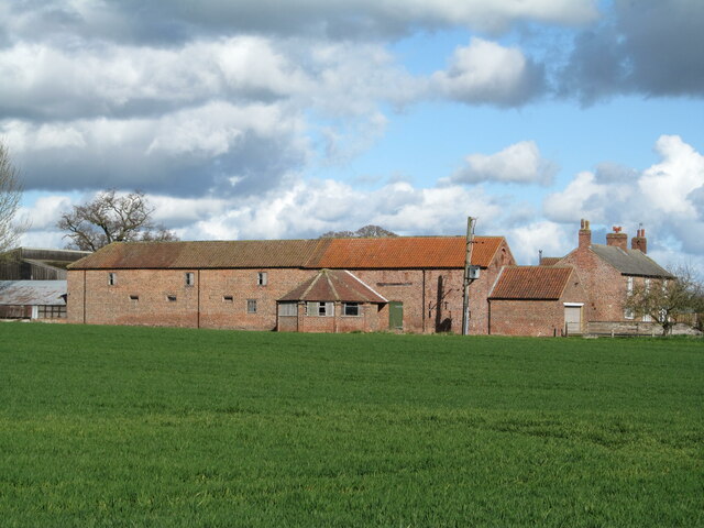
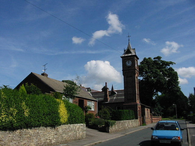
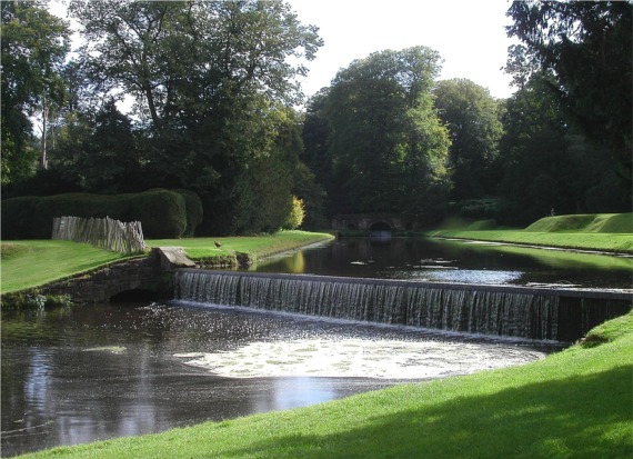
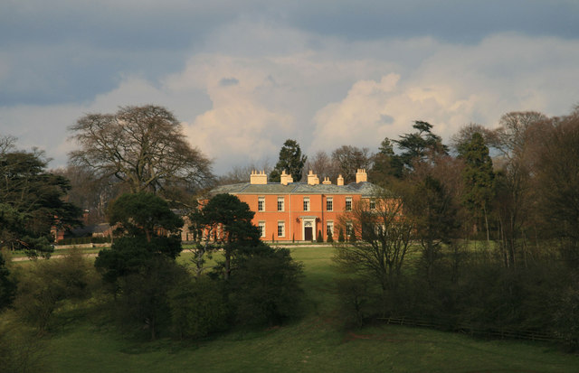
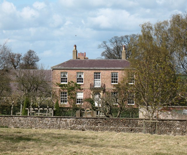
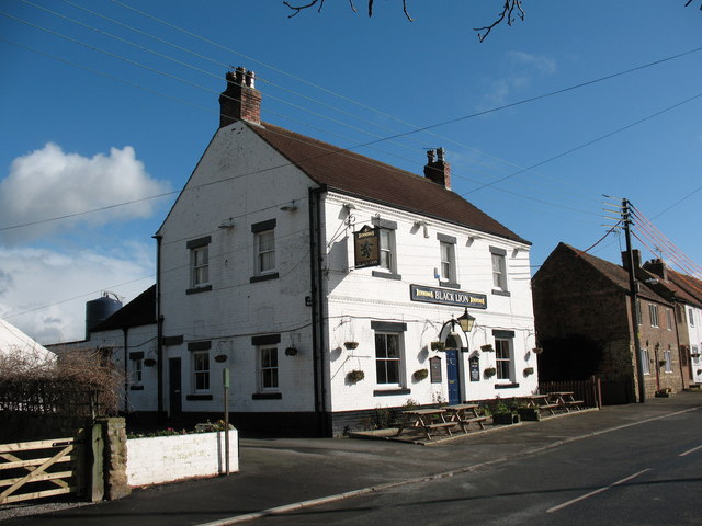
Brier Hill Images

Images are sourced within 2km of 54.131362/-1.4704341 or Grid Reference SE3470. Thanks to Geograph Open Source API. All images are credited.

Old milepost One of the two remaining mileposts along this 6 mile stretch of the B6265, this is how the photographer found it in March 2022.  When it was first recorded in 2006 it was already very sunken in this narrow verge.
Old milepost
One of the two remaining mileposts along this 6 mile stretch of the B6265, this is how the photographer found it in March 2022. When it was first recorded in 2006 it was already very sunken in this narrow verge.
Old milepost After 25 minutes of clearing vegetation and soil by the photographer this milepost is now more visible.  As the verge at this point is only about a metre wide it may be difficult to completely refurbish it safely.  It is one of 14 known survivors of mileposts made by J Ingram, Ripon which are on the A61 from Ripon to Harrogate and the B6265 from Boroughbridge through Ripon to Pateley Bridge.
Old milepost
After 25 minutes of clearing vegetation and soil by the photographer this milepost is now more visible. As the verge at this point is only about a metre wide it may be difficult to completely refurbish it safely. It is one of 14 known survivors of mileposts made by J Ingram, Ripon which are on the A61 from Ripon to Harrogate and the B6265 from Boroughbridge through Ripon to Pateley Bridge.
Crop ready for harvesting Looks like some kind of vetch to me
Crop ready for harvesting
Looks like some kind of vetch to me
Old milepost One of only two mileposts on the 5 miles of minor road between Ripon and Dishforth.  It is about 100m east of Strait Lane into Copt Hewick.   It is exposed to the weather from the north.  The legends which can just be made out are RIPON/2/SHAROW/½ on the left face and COPT-HEWICK/½/DISHFORTH/3 on the right.  Probably cast at the J Ingram foundry in Ripon.
Old milepost
One of only two mileposts on the 5 miles of minor road between Ripon and Dishforth. It is about 100m east of Strait Lane into Copt Hewick. It is exposed to the weather from the north. The legends which can just be made out are RIPON/2/SHAROW/½ on the left face and COPT-HEWICK/½/DISHFORTH/3 on the right. Probably cast at the J Ingram foundry in Ripon.
Old milepost The Ripon 2 milepost leaning back.   In March the dead grass trampled down but in summer lost in tall wayside vegetation.  In the distance on the righthand side of the road can just be made out the white road sign for Strait Lane into Copt Hewick
Old milepost
The Ripon 2 milepost leaning back. In March the dead grass trampled down but in summer lost in tall wayside vegetation. In the distance on the righthand side of the road can just be made out the white road sign for Strait Lane into Copt Hewick
Sharow, High Barn Farm According to the OS benchmark database there is a benchmark cut into the north-east face of this farm building. Stood on the PROW nothing could be seen.
Sharow, High Barn Farm
According to the OS benchmark database there is a benchmark cut into the north-east face of this farm building. Stood on the PROW nothing could be seen.
Copt Hewick, Pumping Station The benchmark is cut into the north-east facing wall of the village Yorkshire Water pumping station.
Copt Hewick, Pumping Station
The benchmark is cut into the north-east facing wall of the village Yorkshire Water pumping station.
Copt Hewick, Pumping Station There is a benchmark cut into the north-east facing wall of the village Yorkshire Water pumping station.
Copt Hewick, Pumping Station
There is a benchmark cut into the north-east facing wall of the village Yorkshire Water pumping station.
Copt Hewick, Luncarr Lane According to the OS benchmark database there was a benchmark cut into a gatepost at this field entrance. The entrance has been widened with new gateposts. The cutmark has been destroyed.
Copt Hewick, Luncarr Lane
According to the OS benchmark database there was a benchmark cut into a gatepost at this field entrance. The entrance has been widened with new gateposts. The cutmark has been destroyed.
Sharow, Dishforth Road The benchmark is cut into the boundary wall, also the roadside wall, of Singleton Cottage, which is on the north side of the lane.
Sharow, Dishforth Road
The benchmark is cut into the boundary wall, also the roadside wall, of Singleton Cottage, which is on the north side of the lane.
Sharow, Singleton Cottage There is a benchmark cut into the boundary wall, also the roadside wall, of Singleton Cottage, which is on the north side of the lane.
Sharow, Singleton Cottage
There is a benchmark cut into the boundary wall, also the roadside wall, of Singleton Cottage, which is on the north side of the lane.
Bogs Lane Access lane for Bogs House off the B6265 east of Ripon.
Bogs Lane
Access lane for Bogs House off the B6265 east of Ripon.
B6265 towards Boroughbridge Despite only being classified as a 'B' road, this route carries plenty of traffic, being the main route south east from Ripon towards the A1(M).
B6265 towards Boroughbridge
Despite only being classified as a 'B' road, this route carries plenty of traffic, being the main route south east from Ripon towards the A1(M).
Boundary wall of Ripon Racecourse According to the OS benchmark database there is a benchmark cut into the north-east face of the wall. Nothing was found.
Boundary wall of Ripon Racecourse
According to the OS benchmark database there is a benchmark cut into the north-east face of the wall. Nothing was found.
Skelton, Pasture Lane, Low Moor House The benchmark is cut into the gable end of a stone agricultural building and is to the left of a drainpipe. The cutmark is damaged.
Skelton, Pasture Lane, Low Moor House
The benchmark is cut into the gable end of a stone agricultural building and is to the left of a drainpipe. The cutmark is damaged.
Skelton, Pasture Lane, Low Moor House There is a benchmark cut into the gable end of the stone agricultural building and is to the left of the furthest left green drainpipe. The cutmark is damaged.
Skelton, Pasture Lane, Low Moor House
There is a benchmark cut into the gable end of the stone agricultural building and is to the left of the furthest left green drainpipe. The cutmark is damaged.
Old wheel house at Little Givendale I'd photographed the farm on a previous occasion, but had never noticed the most interesting feature which is this wheelhouse attached to the side of a long brick barn. At one time a horse would be employed to walk round in circles within the building, thus turning a series of gear wheels attached to a shaft running into the barn to power threshing equipment. The 25" map of 1890 clearly shows the wheelhouse.
Old wheel house at Little Givendale
I'd photographed the farm on a previous occasion, but had never noticed the most interesting feature which is this wheelhouse attached to the side of a long brick barn. At one time a horse would be employed to walk round in circles within the building, thus turning a series of gear wheels attached to a shaft running into the barn to power threshing equipment. The 25" map of 1890 clearly shows the wheelhouse.
Marton le Moor, Blea Pit Lane According to the OS benchmark database there is a cut mark on this old brick culvert which runs under the B6265. Nothing was on view and water too deep to investigate. Beautiful brick built structure which still survives.
Marton le Moor, Blea Pit Lane
According to the OS benchmark database there is a cut mark on this old brick culvert which runs under the B6265. Nothing was on view and water too deep to investigate. Beautiful brick built structure which still survives.
Show me another place!

Brier Hill is located at Grid Ref: SE3470 (Lat: 54.131362, Lng: -1.4704341)

Division: West Riding

Administrative County: North Yorkshire

District: Harrogate

Police Authority: North Yorkshire

What 3 Words

///dunk.snoozing.prospered. Near Ripon, North Yorkshire

Related Wikis

Copt Hewick

Copt Hewick is a village and civil parish in the Harrogate district of North Yorkshire, England. The village lies about two miles east of Ripon. It had...

Bridge Hewick

Bridge Hewick is a village and civil parish in the Harrogate district of North Yorkshire, England. The village is situated on the River Ure, and approximately...

River Skell

The River Skell is a 12-mile-long (19 km) tributary of the River Ure in North Yorkshire, England. Its source is in boggy ground on moorland 2 miles (3...

Ripon Racecourse

Ripon Racecourse is a thoroughbred horse racing venue located in Ripon, North Yorkshire, England and is nicknamed the Garden Racecourse. == History... ==

Sharow

Sharow is a village and civil parish in the Harrogate district of North Yorkshire, England. It is about 1 mile (1.6 km) north-east of Ripon. The name...

Marton-le-Moor

Marton-le-Moor is a village and civil parish in the Harrogate district of North Yorkshire, England. It is very near the A1(M) motorway, 4 miles (6.4 km...

Littlethorpe, North Yorkshire

Littlethorpe is a village and civil parish in the Harrogate district, in the English county of North Yorkshire, near the city of Ripon. Littlethorpe has...

Skelton-on-Ure

Skelton-on-Ure or Skelton is a village and civil parish in the district and county of North Yorkshire, England. It is situated 1.9 miles (3 km) west of...

Nearby Amenities

Located within 500m of 54.131362,-1.4704341
The data included in this document is from www.openstreetmap.org. The data is made available under ODbL.

Have you been to Brier Hill?

Leave your review of Brier Hill below (or comments, questions and feedback).