Cabbage Wood

Wood, Forest in Yorkshire Harrogate

England

Cabbage Wood

Old milepost One of the two remaining mileposts along this 6 mile stretch of the B6265, this is how the photographer found it in March 2022.  When it was first recorded in 2006 it was already very sunken in this narrow verge.
Old milepost Credit: Hilary Jones

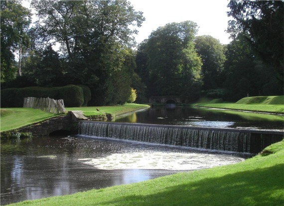
Cabbage Wood is a magnificent forest located in Yorkshire, England. Spanning over a vast area, this woodland is a natural haven of tranquility and beauty. The name "Cabbage Wood" is derived from the abundance of wild cabbages that grow in the area, adding to its unique charm.

The wood is home to an array of diverse flora and fauna, making it a popular destination for nature enthusiasts and wildlife lovers. Towering oak, beech, and birch trees dominate the landscape, creating a dense canopy that filters sunlight and casts delightful shadows on the forest floor. The forest is also adorned with vibrant carpets of bluebells during the spring season, transforming it into a mesmerizing sight.

Walking through Cabbage Wood allows visitors to immerse themselves in a serene atmosphere. The air is filled with the sweet scent of moss and damp earth, while the gentle rustling of leaves creates a soothing melody. Various species of birds, including woodpeckers and owls, can be spotted perched on branches or soaring through the sky. Squirrels and rabbits are also common sightings, adding a touch of whimsy to the woodland experience.

To enhance the visitors' experience, well-maintained footpaths and trails crisscross the forest, allowing for easy exploration and navigation. The wood is also equipped with picnic areas and benches, inviting visitors to pause and appreciate the natural beauty surrounding them.

Cabbage Wood is a true gem of Yorkshire, offering a peaceful retreat from the hustle and bustle of everyday life. Whether it's a leisurely stroll, birdwatching, or simply enjoying a picnic amidst nature, this forest promises an unforgettable experience for all who venture within its enchanting boundaries.

If you have any feedback on the listing, please let us know in the comments section below.
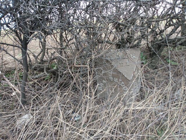
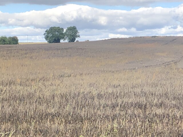
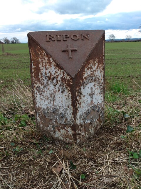
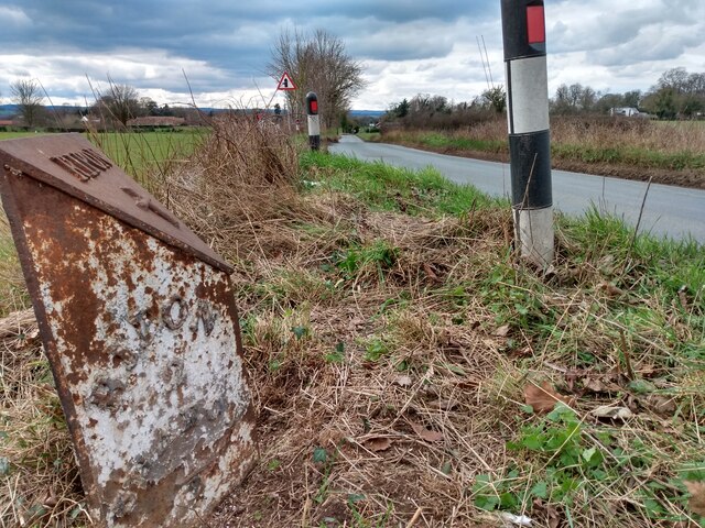
Cabbage Wood Images

Images are sourced within 2km of 54.128615/-1.4671025 or Grid Reference SE3470. Thanks to Geograph Open Source API. All images are credited.

Old milepost One of the two remaining mileposts along this 6 mile stretch of the B6265, this is how the photographer found it in March 2022.  When it was first recorded in 2006 it was already very sunken in this narrow verge.
Old milepost
One of the two remaining mileposts along this 6 mile stretch of the B6265, this is how the photographer found it in March 2022. When it was first recorded in 2006 it was already very sunken in this narrow verge.
Old milepost After 25 minutes of clearing vegetation and soil by the photographer this milepost is now more visible.  As the verge at this point is only about a metre wide it may be difficult to completely refurbish it safely.  It is one of 14 known survivors of mileposts made by J Ingram, Ripon which are on the A61 from Ripon to Harrogate and the B6265 from Boroughbridge through Ripon to Pateley Bridge.
Old milepost
After 25 minutes of clearing vegetation and soil by the photographer this milepost is now more visible. As the verge at this point is only about a metre wide it may be difficult to completely refurbish it safely. It is one of 14 known survivors of mileposts made by J Ingram, Ripon which are on the A61 from Ripon to Harrogate and the B6265 from Boroughbridge through Ripon to Pateley Bridge.
Crop ready for harvesting Looks like some kind of vetch to me
Crop ready for harvesting
Looks like some kind of vetch to me
Marton le Moor, The Balk According to the OS benchmark database there was a benchmark cut into a wooden gatepost at this location. Today there is no field entrance and gateposts, although the hedge is thinner indicating a previous access point to the field.
Marton le Moor, The Balk
According to the OS benchmark database there was a benchmark cut into a wooden gatepost at this location. Today there is no field entrance and gateposts, although the hedge is thinner indicating a previous access point to the field.
Old milepost One of only two mileposts on the 5 miles of minor road between Ripon and Dishforth.  It is about 100m east of Strait Lane into Copt Hewick.   It is exposed to the weather from the north.  The legends which can just be made out are RIPON/2/SHAROW/½ on the left face and COPT-HEWICK/½/DISHFORTH/3 on the right.  Probably cast at the J Ingram foundry in Ripon.
Old milepost
One of only two mileposts on the 5 miles of minor road between Ripon and Dishforth. It is about 100m east of Strait Lane into Copt Hewick. It is exposed to the weather from the north. The legends which can just be made out are RIPON/2/SHAROW/½ on the left face and COPT-HEWICK/½/DISHFORTH/3 on the right. Probably cast at the J Ingram foundry in Ripon.
Old milepost The Ripon 2 milepost leaning back.   In March the dead grass trampled down but in summer lost in tall wayside vegetation.  In the distance on the righthand side of the road can just be made out the white road sign for Strait Lane into Copt Hewick
Old milepost
The Ripon 2 milepost leaning back. In March the dead grass trampled down but in summer lost in tall wayside vegetation. In the distance on the righthand side of the road can just be made out the white road sign for Strait Lane into Copt Hewick
Sharow, High Barn Farm According to the OS benchmark database there is a benchmark cut into the north-east face of this farm building. Stood on the PROW nothing could be seen.
Sharow, High Barn Farm
According to the OS benchmark database there is a benchmark cut into the north-east face of this farm building. Stood on the PROW nothing could be seen.
Copt Hewick, Pumping Station The benchmark is cut into the north-east facing wall of the village Yorkshire Water pumping station.
Copt Hewick, Pumping Station
The benchmark is cut into the north-east facing wall of the village Yorkshire Water pumping station.
Copt Hewick, Pumping Station There is a benchmark cut into the north-east facing wall of the village Yorkshire Water pumping station.
Copt Hewick, Pumping Station
There is a benchmark cut into the north-east facing wall of the village Yorkshire Water pumping station.
Copt Hewick, Luncarr Lane According to the OS benchmark database there was a benchmark cut into a gatepost at this field entrance. The entrance has been widened with new gateposts. The cutmark has been destroyed.
Copt Hewick, Luncarr Lane
According to the OS benchmark database there was a benchmark cut into a gatepost at this field entrance. The entrance has been widened with new gateposts. The cutmark has been destroyed.
Bogs Lane Access lane for Bogs House off the B6265 east of Ripon.
Bogs Lane
Access lane for Bogs House off the B6265 east of Ripon.
B6265 towards Boroughbridge Despite only being classified as a 'B' road, this route carries plenty of traffic, being the main route south east from Ripon towards the A1(M).
B6265 towards Boroughbridge
Despite only being classified as a 'B' road, this route carries plenty of traffic, being the main route south east from Ripon towards the A1(M).
Skelton, Pasture Lane, Low Moor House The benchmark is cut into the gable end of a stone agricultural building and is to the left of a drainpipe. The cutmark is damaged.
Skelton, Pasture Lane, Low Moor House
The benchmark is cut into the gable end of a stone agricultural building and is to the left of a drainpipe. The cutmark is damaged.
Skelton, Pasture Lane, Low Moor House There is a benchmark cut into the gable end of the stone agricultural building and is to the left of the furthest left green drainpipe. The cutmark is damaged.
Skelton, Pasture Lane, Low Moor House
There is a benchmark cut into the gable end of the stone agricultural building and is to the left of the furthest left green drainpipe. The cutmark is damaged.
Old wheel house at Little Givendale I'd photographed the farm on a previous occasion, but had never noticed the most interesting feature which is this wheelhouse attached to the side of a long brick barn. At one time a horse would be employed to walk round in circles within the building, thus turning a series of gear wheels attached to a shaft running into the barn to power threshing equipment. The 25" map of 1890 clearly shows the wheelhouse.
Old wheel house at Little Givendale
I'd photographed the farm on a previous occasion, but had never noticed the most interesting feature which is this wheelhouse attached to the side of a long brick barn. At one time a horse would be employed to walk round in circles within the building, thus turning a series of gear wheels attached to a shaft running into the barn to power threshing equipment. The 25" map of 1890 clearly shows the wheelhouse.
Marton le Moor, Blea Pit Lane According to the OS benchmark database there is a cut mark on this old brick culvert which runs under the B6265. Nothing was on view and water too deep to investigate. Beautiful brick built structure which still survives.
Marton le Moor, Blea Pit Lane
According to the OS benchmark database there is a cut mark on this old brick culvert which runs under the B6265. Nothing was on view and water too deep to investigate. Beautiful brick built structure which still survives.
Hewick Bridge over the  River Ure
Hewick Bridge over the River Ure
Farmland off Skelton Lane
Show me another place!

Cabbage Wood is located at Grid Ref: SE3470 (Lat: 54.128615, Lng: -1.4671025)

Division: West Riding

Administrative County: North Yorkshire

District: Harrogate

Police Authority: North Yorkshire

What 3 Words

///unpacked.registers.cursing. Near Ripon, North Yorkshire

Related Wikis

Bridge Hewick

Bridge Hewick is a village and civil parish in the Harrogate district of North Yorkshire, England. The village is situated on the River Ure, and approximately...

Copt Hewick

Copt Hewick is a village and civil parish in the Harrogate district of North Yorkshire, England. The village lies about two miles east of Ripon. It had...

Ripon Racecourse

Ripon Racecourse is a thoroughbred horse racing venue located in Ripon, North Yorkshire, England and is nicknamed the Garden Racecourse. == History... ==

Marton-le-Moor

Marton-le-Moor is a village and civil parish in the Harrogate district of North Yorkshire, England. It is very near the A1(M) motorway, 4 miles (6.4 km...

River Skell

The River Skell is a 12-mile-long (19 km) tributary of the River Ure in North Yorkshire, England. Its source is in boggy ground on moorland 2 miles (3...

Skelton-on-Ure

Skelton-on-Ure or Skelton is a village and civil parish in the district and county of North Yorkshire, England. It is situated 1.9 miles (3 km) west of...

Church of Christ the Consoler

The Church of Christ the Consoler is a Victorian Gothic Revival church built in the Early English style by William Burges. It is located in the grounds...

Spectre of Newby Church

The Spectre of Newby Church (or the Newby Monk) is the name given to a figure found in a photograph taken in the Church of Christ the Consoler, on the...

Related Videos

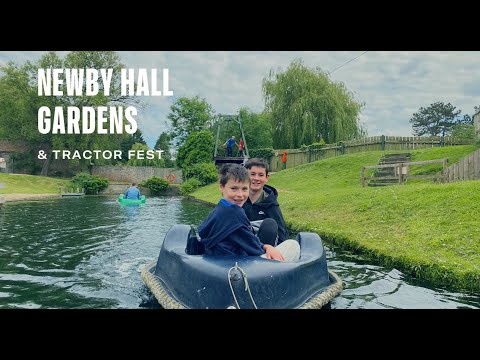
Walking Around Newby Hall Gardens, North Yorkshire

Newby Hall's award-winning gardens, mostly created in the early 1920s, have evolved over the years into the garden we see ...

Newby Hall Gardens

This video gives a brief insight into what's on offer at Newby Hall Gardens Discover More on the Attractions Near Me Website ...

Studley Park & Ripon Canal, North Yorkshire - 1 August 2021

A 15 mile walk from Ripon. The route heads west towards Studley Park (Deer Park). From here the route then turned east and ...

Nearby Amenities

Located within 500m of 54.128615,-1.4671025
The data included in this document is from www.openstreetmap.org. The data is made available under ODbL.

Have you been to Cabbage Wood?

Leave your review of Cabbage Wood below (or comments, questions and feedback).