Icehouse Wood

Wood, Forest in Yorkshire Harrogate

England

Icehouse Wood

Decorated bollards, Market Place, Knaresborough
Decorated bollards, Market Place, Knaresborough Credit: habiloid

Icehouse Wood is a picturesque woodland located in Yorkshire, England. Situated on the outskirts of a small village, the wood covers an area of approximately 50 acres. It is a popular destination for nature lovers, walkers, and wildlife enthusiasts.

The woodland is predominantly composed of deciduous trees, such as oak, birch, and beech, which create a dense canopy and provide a tranquil atmosphere. The forest floor is covered with a carpet of bluebells during spring, adding a vibrant burst of color to the landscape.

Icehouse Wood is known for its well-maintained trails and footpaths, which allow visitors to explore the wood at their own pace. The paths wind through the trees, offering glimpses of wildlife such as deer, squirrels, and a variety of bird species.

At the heart of the wood, there is a small pond surrounded by ancient trees, providing a peaceful spot for visitors to relax and enjoy the serene surroundings. The pond is home to various aquatic plants and attracts a range of birdlife.

The wood also has an interesting historical feature, after which it is named. An icehouse, dating back to the 18th century, can be found within the woodland. This underground structure was used to store ice during the winter months, preserving it for use throughout the year.

Overall, Icehouse Wood is a tranquil and beautiful woodland, offering a peaceful escape from the hustle and bustle of everyday life. Its diverse flora and fauna, well-maintained trails, and historical icehouse make it a must-visit destination for nature enthusiasts and history buffs alike.

If you have any feedback on the listing, please let us know in the comments section below.

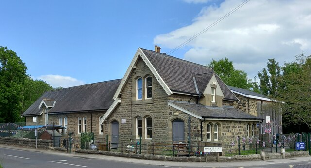
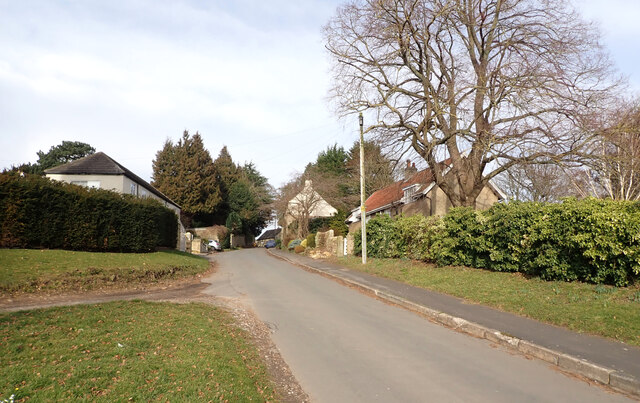
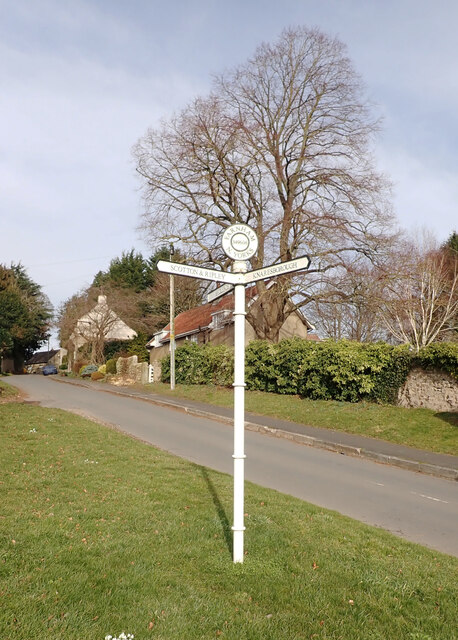
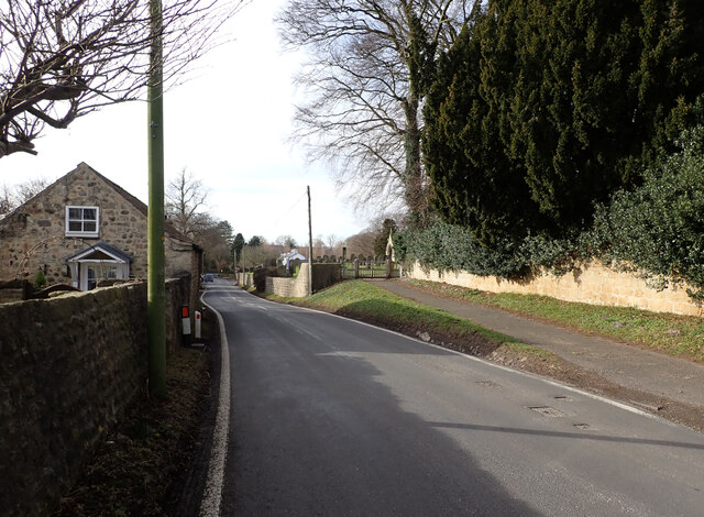
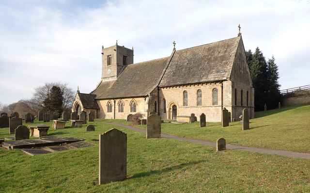
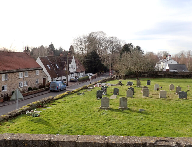
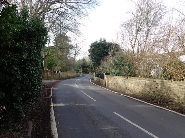
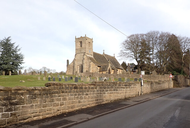
Icehouse Wood Images

Images are sourced within 2km of 54.023006/-1.4743141 or Grid Reference SE3458. Thanks to Geograph Open Source API. All images are credited.

Decorated bollards, Market Place, Knaresborough
Farnham, St Oswald's church The benchmark is on the rear of the church, on the south east face.
Farnham, St Oswald's church
The benchmark is on the rear of the church, on the south east face.
Farnham, St Oswald's church There is a benchmark on the rear of the church, on the south east face.
Farnham, St Oswald's church
There is a benchmark on the rear of the church, on the south east face.
Lingerfield school The benchmark is cut on the north-west facing wall, below a tap and to the right of the door on the left.
Lingerfield school
The benchmark is cut on the north-west facing wall, below a tap and to the right of the door on the left.
Lingerfield school There is a benchmark cut intothe north-west facing wall, below a tap and to the right of the grey door on the left.
Lingerfield school
There is a benchmark cut intothe north-west facing wall, below a tap and to the right of the grey door on the left.
Shaw Lane, Farnham
Shaw Lane, Farnham
Guide post, Shaw Lane, Farnham The post reads:
"FARNHAM
349606
N. YORKS

BRIDLEPATH

SCOTTON & RIPLEY

KNARESBOROUGH".
Guide post, Shaw Lane, Farnham
The post reads: "FARNHAM 349606 N. YORKS BRIDLEPATH SCOTTON & RIPLEY KNARESBOROUGH".
Stang Lane, Farnham
Stang Lane, Farnham
St. Oswald's Church, Farnham St. Oswald's Church in Farnham was built in the 12th century. It has additions from the 13th and 14th centuries and the tower was built c1500. It was restored in the 19th century and is a Grade I listed building.
St. Oswald's Church, Farnham
St. Oswald's Church in Farnham was built in the 12th century. It has additions from the 13th and 14th centuries and the tower was built c1500. It was restored in the 19th century and is a Grade I listed building.
Graveyard and Stang Lane seen from St. Oswald's Church, Farnham St. Oswald's Church in Farnham was built in the 12th century. It has additions from the 13th and 14th centuries and the tower was built c1500. It was restored in the 19th century and is a Grade I listed building.
Graveyard and Stang Lane seen from St. Oswald's Church, Farnham
St. Oswald's Church in Farnham was built in the 12th century. It has additions from the 13th and 14th centuries and the tower was built c1500. It was restored in the 19th century and is a Grade I listed building.
Stang Lane, Farnham
Stang Lane, Farnham
Stang Lane, Farnham
Stang Lane, Farnham
Stang Lane entering Farnham
St. Oswald's Church, Farnham St. Oswald's Church in Farnham was built in the 12th century. It has additions from the 13th and 14th centuries and the tower was built c1500. It was restored in the 19th century and is a Grade I listed building.
St. Oswald's Church, Farnham
St. Oswald's Church in Farnham was built in the 12th century. It has additions from the 13th and 14th centuries and the tower was built c1500. It was restored in the 19th century and is a Grade I listed building.
Main Street, Farnham A close-up of the post box can be seen in <a href="https://www.geograph.org.uk/photo/7399002">SE3460 : Post box, Main Street, Farnham</a>.
Main Street, Farnham
A close-up of the post box can be seen in SE3460 : Post box, Main Street, Farnham.
Post box, Main Street, Farnham This post box can be seen in context in <a href="https://www.geograph.org.uk/photo/7398997">SE3460 : Main Street, Farnham</a>.
Post box, Main Street, Farnham
This post box can be seen in context in SE3460 : Main Street, Farnham.
A view from Main Street, Farnham
Show me another place!

Icehouse Wood is located at Grid Ref: SE3458 (Lat: 54.023006, Lng: -1.4743141)

Division: West Riding

Administrative County: North Yorkshire

District: Harrogate

Police Authority: North Yorkshire

What 3 Words

///pies.scale.insolvent. Near Knaresborough, North Yorkshire

Related Wikis

Scriven

Scriven is a village and civil parish in the Harrogate district of North Yorkshire, England, close to the town of Knaresborough. From 1947 to 1998 Scriven...

Jacob Smith Park

Jacob Smith Park is a park owned by Harrogate Borough Council in the outskirts of Knaresborough, North Yorkshire, England. It is located in Scriven, and...

Nidd Gorge

Nidd Gorge makes up a section of the River Nidd in North Yorkshire, England, in which the river enters a deep ravine with sheer tree-covered valley sides...

Knaresborough Zoo

Knaresborough Zoo was a zoo located in the grounds of Conyngham Hall, Knaresborough, a small market town within the district of Harrogate, North Yorkshire...

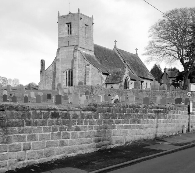
St John the Baptist Church, Knaresborough

St John the Baptist Church is a parish church in the Church of England located in Knaresborough, North Yorkshire. It is the largest church in the town...

Knaresborough railway station

Knaresborough railway station is a Grade II listed station serving the town of Knaresborough in North Yorkshire, England. It is located on the Harrogate...

Mother Shipton's Cave

Mother Shipton's Cave (or "Old Mother Shipton's Cave") is at Knaresborough, North Yorkshire, England, near the River Nidd. Nearby is a petrifying well...

Nidderdale Rural District

Nidderdale was a rural district in the West Riding of Yorkshire from 1938 to 1974. It was created from the combination of most of the disbanded rural districts...

Nearby Amenities

Located within 500m of 54.023006,-1.4743141
Scriven
Is In: UK,England,Yorkshire,North Yorkshire
Place: hamlet
Lat/Long: 54.0208538/-1.4699715
Post Box
Post Box Type: lamp
Source: survey
Lat/Long: 54.0213744/-1.4693212
Power: pole
Lat/Long: 54.0258865/-1.4761396
Power: pole
Lat/Long: 54.0260861/-1.4772697
Power: pole
Lat/Long: 54.0263277/-1.4786166
Power: pole
Lat/Long: 54.025599/-1.4746015
Line Management: branch
Power: pole
Lat/Long: 54.0253571/-1.47328
Power: pole
Lat/Long: 54.0251151/-1.4719426
Power: pole
Lat/Long: 54.0247288/-1.4706591
Power: pole
Lat/Long: 54.0243506/-1.4694276
Power: pole
Lat/Long: 54.0239454/-1.4680881
Power: pole
Lat/Long: 54.0235532/-1.4668106
Power: pole
Lat/Long: 54.0248279/-1.4734426
Power: pole
Lat/Long: 54.0241544/-1.4736544
Power: pole
Lat/Long: 54.0211787/-1.4673758
Flag Name: Yorkshire
Flag Type: regional
Man Made: flagpole
Lat/Long: 54.0212295/-1.4694924
Defibrillator
Emergency: defibrillator
Ref GB The Circuit: 2776E9ED-B5F6-43A9-94C6-B02A009BD09C
Lat/Long: 54.0203691/-1.4681566
The data included in this document is from www.openstreetmap.org. The data is made available under ODbL.

Have you been to Icehouse Wood?

Leave your review of Icehouse Wood below (or comments, questions and feedback).