Chadshunt Spinney
Wood, Forest in Warwickshire Stratford-on-Avon
England
Chadshunt Spinney
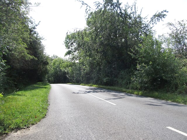
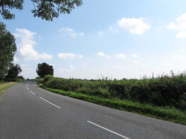
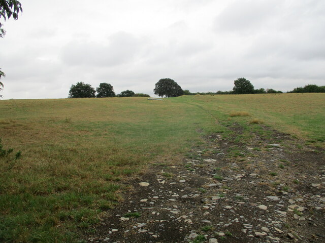
Chadshunt Spinney is a picturesque woodland located in Warwickshire, England. Covering an area of approximately 10 acres, it is a charming spot for nature enthusiasts and those seeking tranquility amidst the bustling city life. The spinney is situated near the village of Chadshunt, which is known for its beautiful countryside and rural charm.
The woodland is predominantly composed of oak trees, creating a dense canopy that provides shade and shelter for various species of flora and fauna. The forest floor is adorned with an array of wildflowers, including bluebells, primroses, and wood anemones, creating a vibrant and colorful display in the springtime.
Chadshunt Spinney is a haven for birdwatchers, as it attracts a diverse range of avian species. Visitors can often spot woodland birds such as tits, finches, and woodpeckers, as well as raptors like buzzards and kestrels soaring above the treetops. The presence of such wildlife makes it an ideal location for birdwatching enthusiasts and photographers alike.
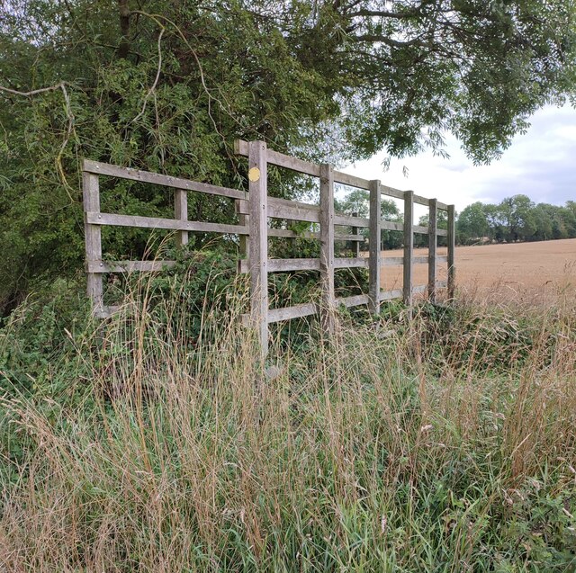
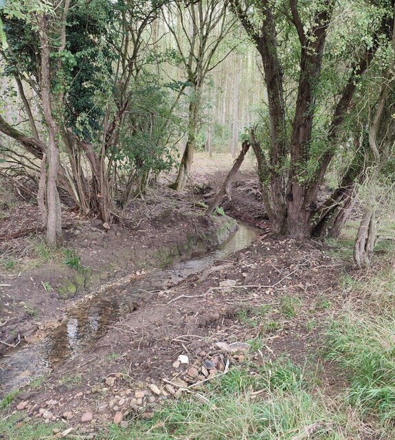
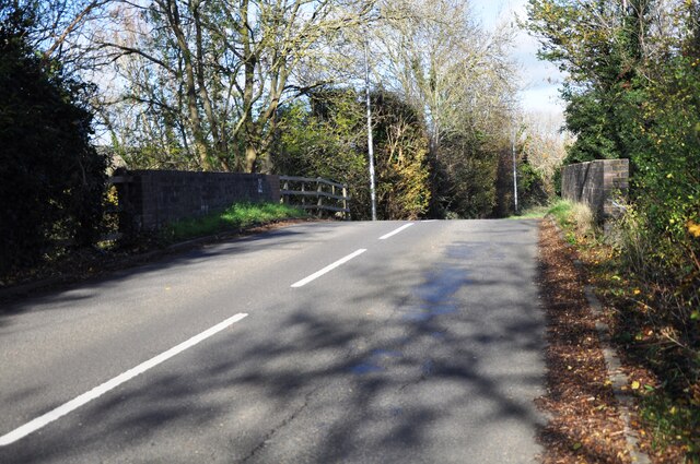
The spinney is crisscrossed by a network of footpaths, allowing visitors to explore its natural beauty at their own pace. These well-maintained trails offer stunning vistas of the surrounding countryside, showcasing the rolling hills and meandering streams that epitomize the Warwickshire landscape.
Chadshunt Spinney is cherished by locals and visitors alike for its tranquility and natural beauty. Whether one is seeking a peaceful walk, a chance to observe wildlife, or simply a break from the urban hustle and bustle, this woodland gem in Warwickshire is sure to leave a lasting impression.
If you have any feedback on the listing, please let us know in the comments section below.
Chadshunt Spinney Images
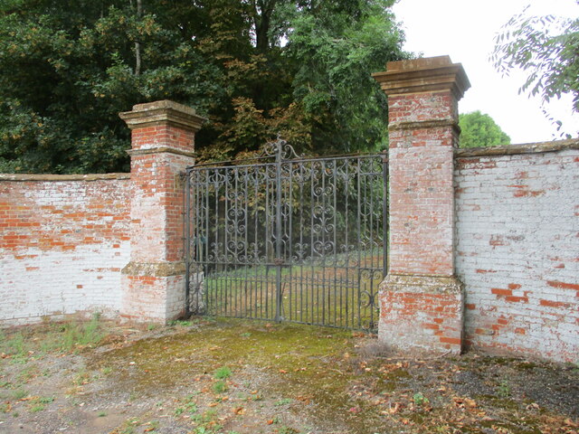
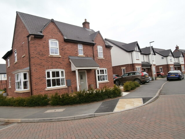
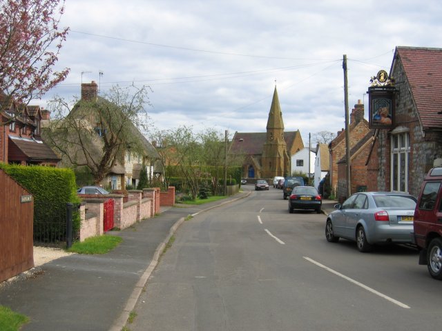
Images are sourced within 2km of 52.17484/-1.4963616 or Grid Reference SP3453. Thanks to Geograph Open Source API. All images are credited.


Chadshunt Spinney is located at Grid Ref: SP3453 (Lat: 52.17484, Lng: -1.4963616)
Administrative County: Warwickshire
District: Stratford-on-Avon
Police Authority: Warwickshire
What 3 Words
///business.firewall.loaders. Near Gaydon, Warwickshire
Nearby Locations
Related Wikis
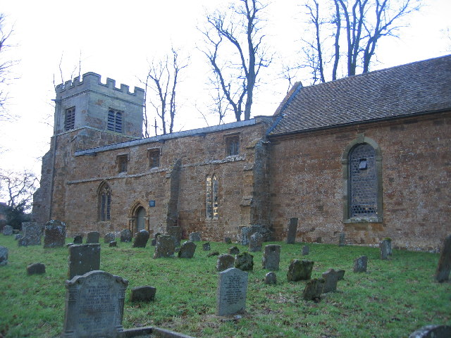
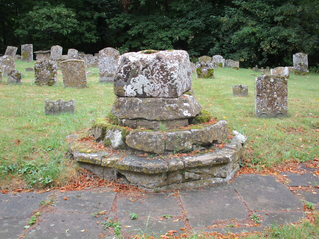
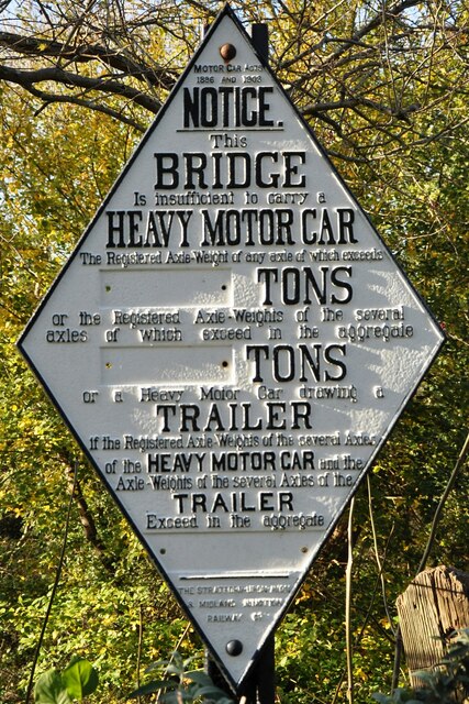
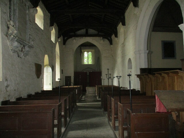
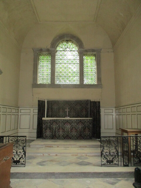
All Saints Church, Chadshunt
All Saints Church is a redundant Anglican church in the parish of Chadshunt, Warwickshire, England. It is recorded in the National Heritage List for England...

RAF Gaydon
Royal Air Force Gaydon or more simply RAF Gaydon is a former Royal Air Force station located 5.2 miles (8.4 km) east of Wellesbourne, Warwickshire and...
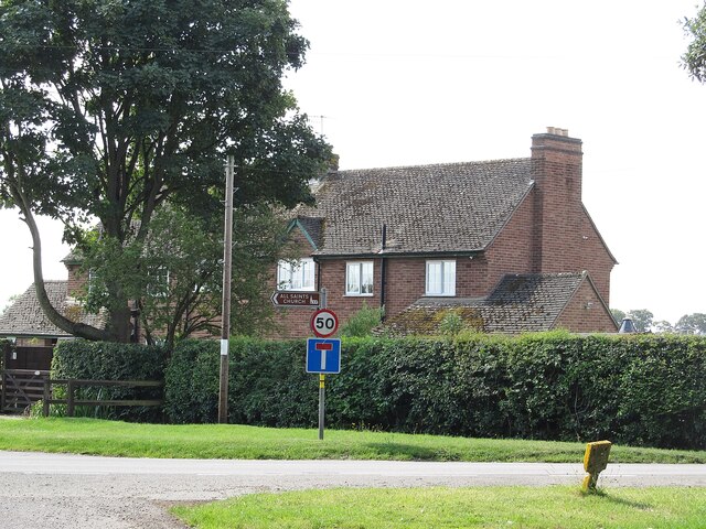
Chadshunt
Chadshunt is a small village and civil parish in the Stratford-on-Avon district, in the county of Warwickshire, England. Chadshunt is located in between...

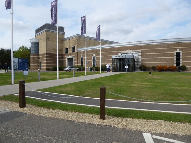
British Motor Museum
The British Motor Museum in Gaydon, Warwickshire, England holds the world's largest collection of historic British cars, with over 300 cars on display...

Kineton High School
Kineton High School is a mixed secondary school located in South Warwickshire, England within the village of Kineton. It is a non-selective academy school...

Kineton
Kineton is a village and civil parish on the River Dene in south-east Warwickshire, England. The village is part of Stratford-on-Avon district, and in...

Kineton railway station
Kineton railway station was a railway station that served the village of Kineton, Warwickshire, England. == History == Opened on 1 June 1871, the station...
Gaydon
Gaydon is a civil parish and village in the Stratford-on-Avon District of Warwickshire, England, situated between Leamington Spa and Banbury. In the 2001...
Nearby Amenities
Located within 500m of 52.17484,-1.4963616Have you been to Chadshunt Spinney?
Leave your review of Chadshunt Spinney below (or comments, questions and feedback).