Chadshunt Coppice
Wood, Forest in Warwickshire Stratford-on-Avon
England
Chadshunt Coppice
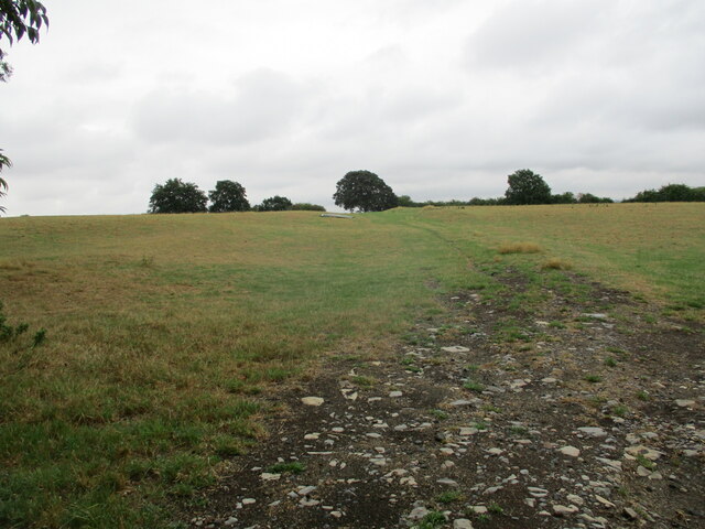
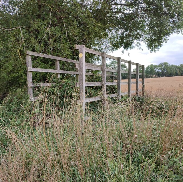
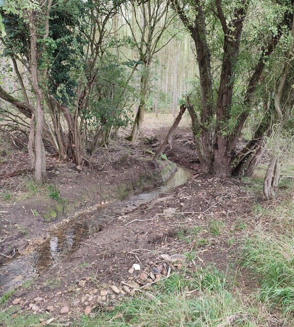
Chadshunt Coppice is a picturesque woodland located in Warwickshire, England. Covering an area of approximately 50 hectares, it is a diverse and thriving ecosystem that attracts nature enthusiasts and hikers alike. The coppice is situated in close proximity to the village of Chadshunt, providing easy access for visitors.
The woodland is predominantly made up of broadleaf trees, including oak, ash, and beech, creating a rich and vibrant canopy that changes with the seasons. Bluebells carpet the forest floor in the spring, while autumn brings a stunning display of colorful foliage. This makes Chadshunt Coppice particularly popular with photographers and nature lovers seeking to capture the beauty of the changing landscape.
Wildlife thrives in the coppice, with an abundance of bird species such as woodpeckers, thrushes, and owls. It is also home to small mammals like badgers, foxes, and squirrels, which can often be spotted scurrying through the undergrowth. The woodland's diverse ecosystem provides a habitat for a wide range of insects, fungi, and plant species, further enriching its biodiversity.
For visitors, Chadshunt Coppice offers a network of well-maintained walking trails, allowing exploration of its different areas and habitats. These paths wind through the woods, offering opportunities to observe the flora and fauna up close. The tranquility of the woodland makes it an ideal place for relaxation and reconnecting with nature.
Overall, Chadshunt Coppice in Warwickshire provides a haven of natural beauty, offering visitors the chance to immerse themselves in a diverse woodland ecosystem and enjoy the wonders of the great outdoors.
If you have any feedback on the listing, please let us know in the comments section below.
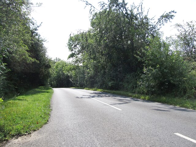
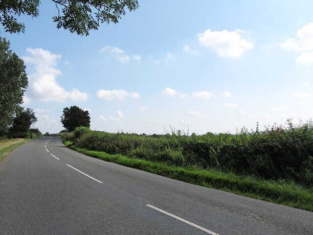
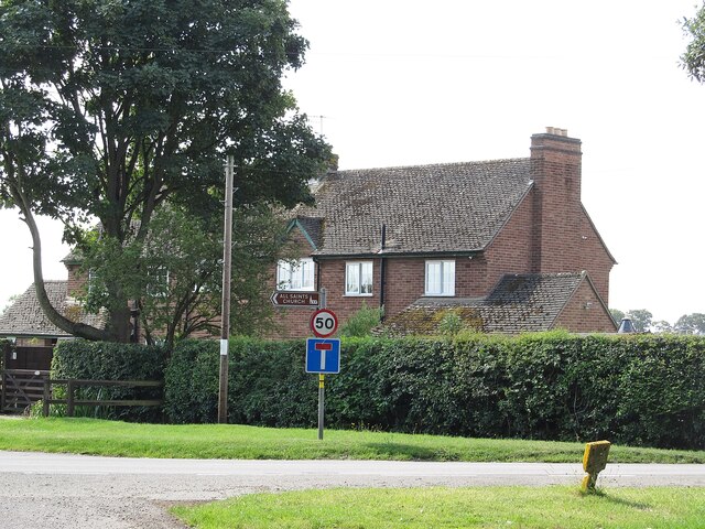
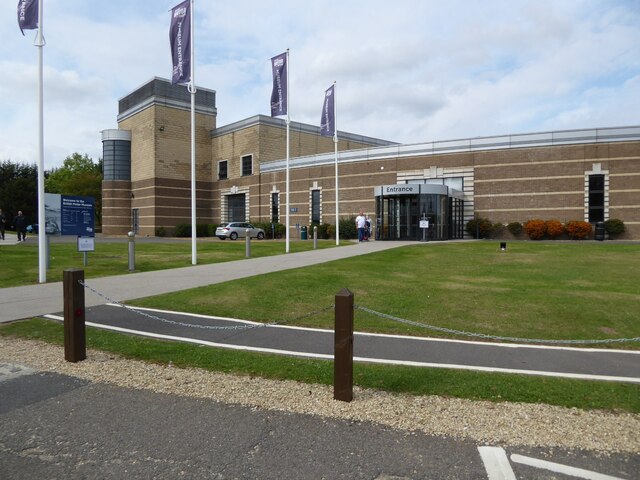
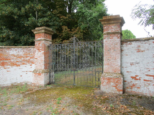
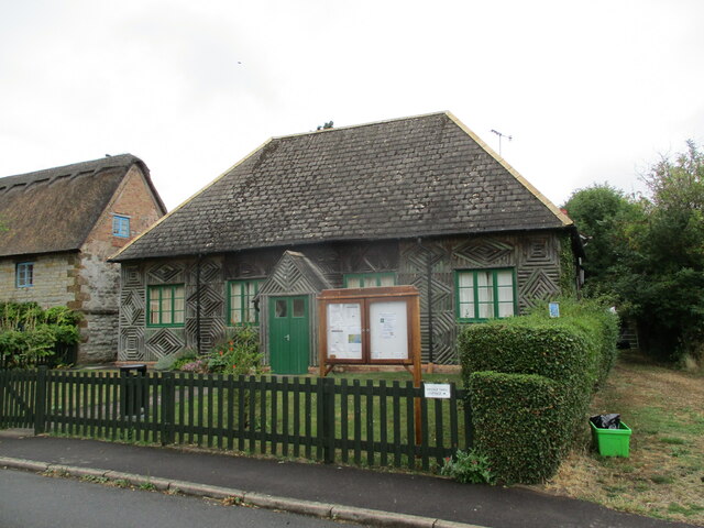
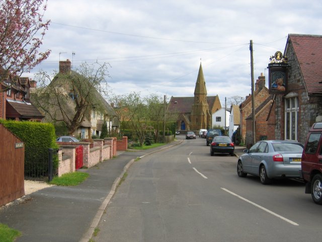
Chadshunt Coppice Images
Images are sourced within 2km of 52.177881/-1.4968098 or Grid Reference SP3453. Thanks to Geograph Open Source API. All images are credited.


Chadshunt Coppice is located at Grid Ref: SP3453 (Lat: 52.177881, Lng: -1.4968098)
Administrative County: Warwickshire
District: Stratford-on-Avon
Police Authority: Warwickshire
What 3 Words
///mugs.sneezing.tomato. Near Gaydon, Warwickshire
Nearby Locations
Related Wikis
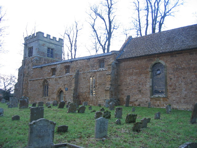
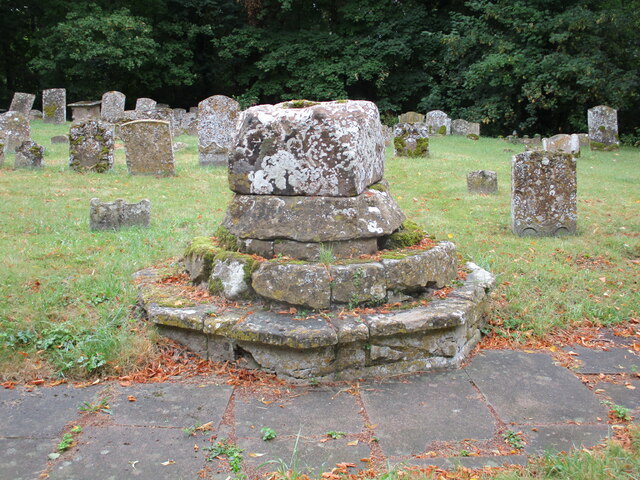
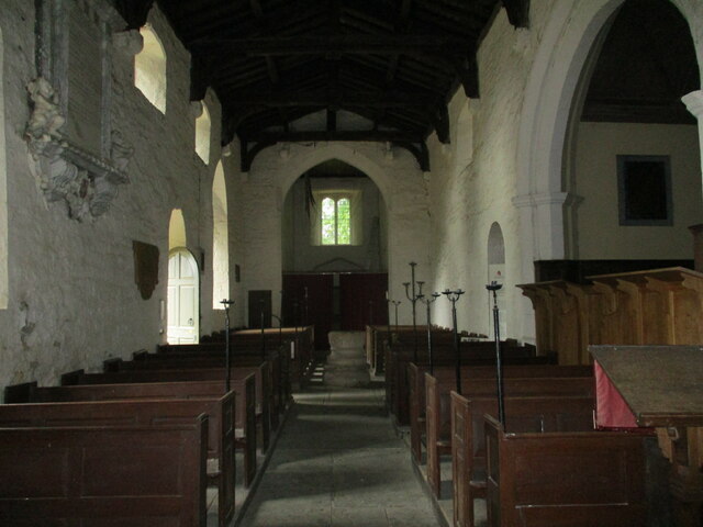
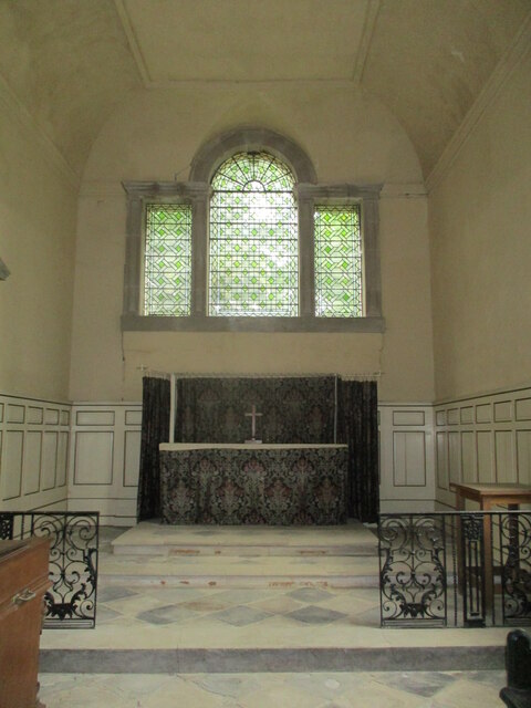
All Saints Church, Chadshunt
All Saints Church is a redundant Anglican church in the parish of Chadshunt, Warwickshire, England. It is recorded in the National Heritage List for England...

RAF Gaydon
Royal Air Force Gaydon or more simply RAF Gaydon is a former Royal Air Force station located 5.2 miles (8.4 km) east of Wellesbourne, Warwickshire and...
Chadshunt
Chadshunt is a small village and civil parish in the Stratford-on-Avon district, in the county of Warwickshire, England. Chadshunt is located in between...

British Motor Museum
The British Motor Museum in Gaydon, Warwickshire, England holds the world's largest collection of historic British cars, with over 300 cars on display...

Kineton High School
Kineton High School is a mixed secondary school located in South Warwickshire, England within the village of Kineton. It is a non-selective academy school...

Lighthorne Heath
Lighthorne Heath is a village in the civil parish of Upper Lighthorne, in the Stratford-on-Avon District, in the county of Warwickshire, England. It is...
Gaydon
Gaydon is a civil parish and village in the Stratford-on-Avon District of Warwickshire, England, situated between Leamington Spa and Banbury. In the 2001...

Lighthorne
Lighthorne is a village and civil parish in Warwickshire, England. It is about 6 miles (9.7 km) south of Leamington Spa. The population taken at the 2011...
Nearby Amenities
Located within 500m of 52.177881,-1.4968098Have you been to Chadshunt Coppice?
Leave your review of Chadshunt Coppice below (or comments, questions and feedback).