Little Sadler's Copse

Wood, Forest in Berkshire

England

Little Sadler's Copse

Country lane, Inkpen, Berkshire
Country lane, Inkpen, Berkshire Credit: Oswald Bertram

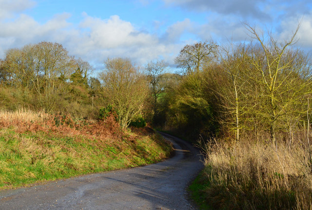
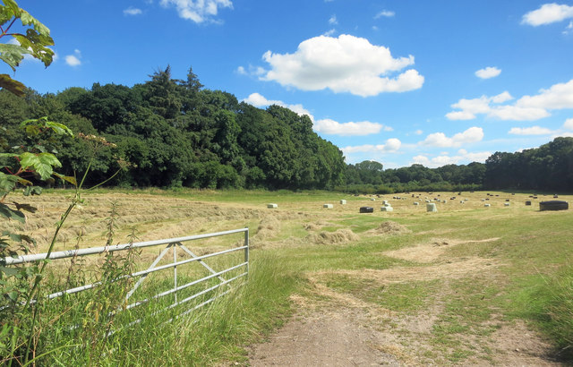
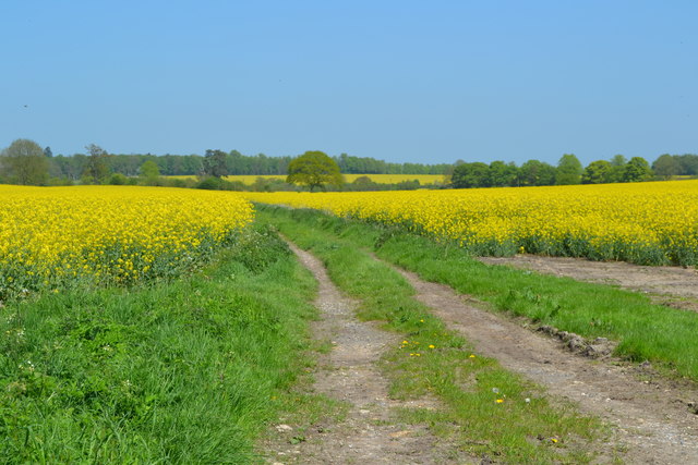
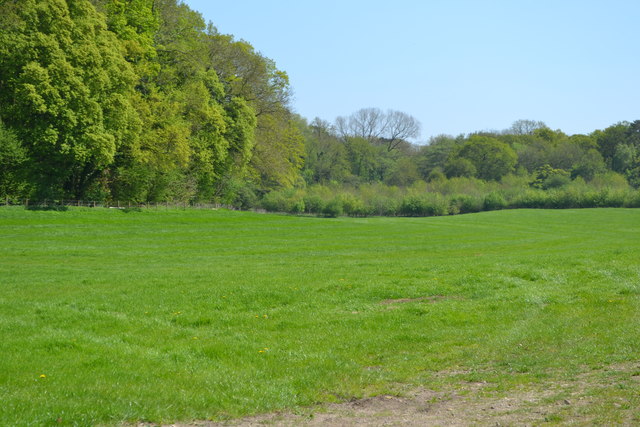
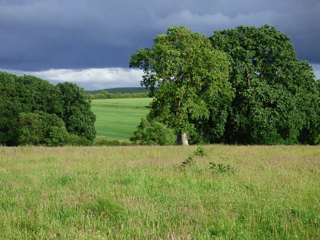
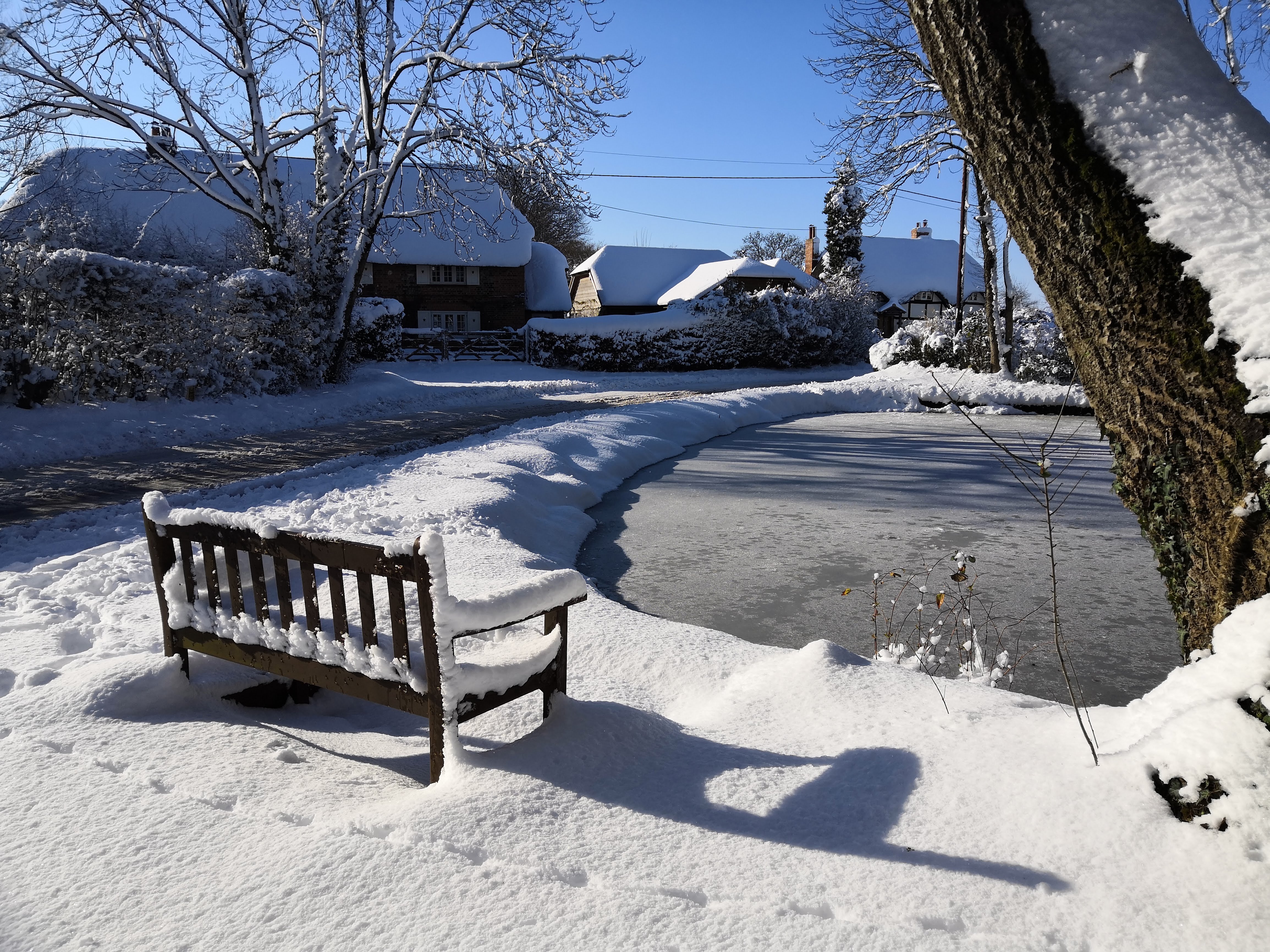
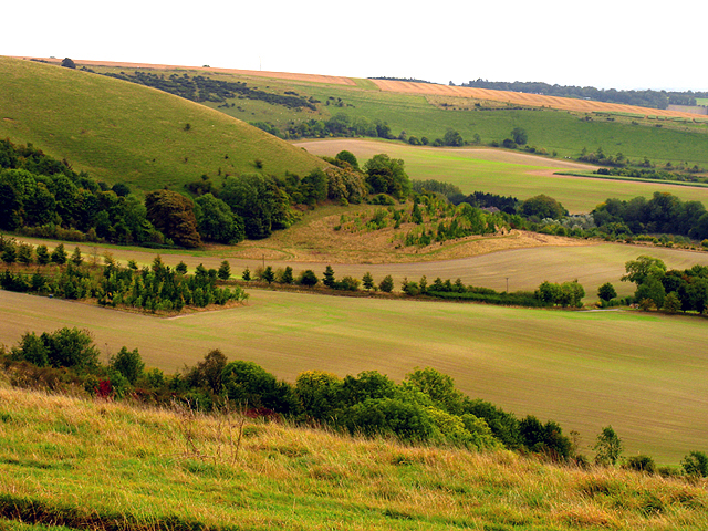
Little Sadler's Copse is a charming woodland area located in the county of Berkshire, England. Stretching over an expanse of approximately 20 acres, this copse is nestled amidst the picturesque countryside, making it a popular destination for nature enthusiasts and hikers alike.

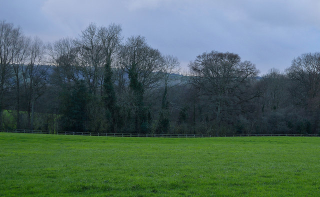
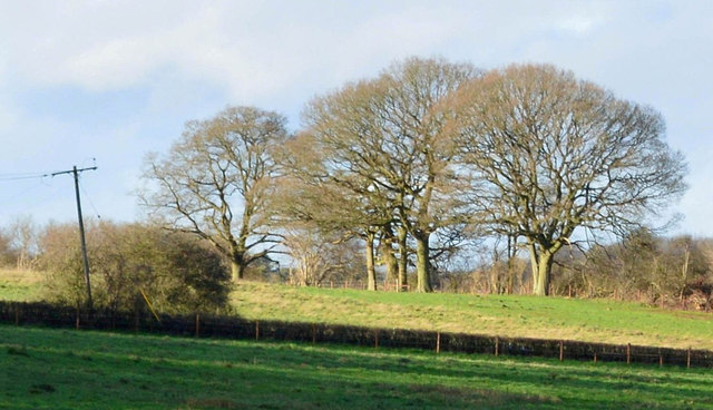
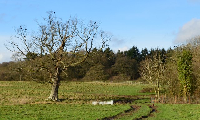
The copse is predominantly composed of native deciduous trees, including oak, beech, and birch, which form a dense canopy overhead. This creates a tranquil and shaded environment, perfect for leisurely walks and exploring the natural beauty of the area. The forest floor is covered in a diverse array of flora, such as bluebells, ferns, and mosses, lending a vibrant and colorful touch to the landscape.

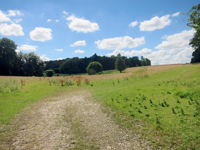
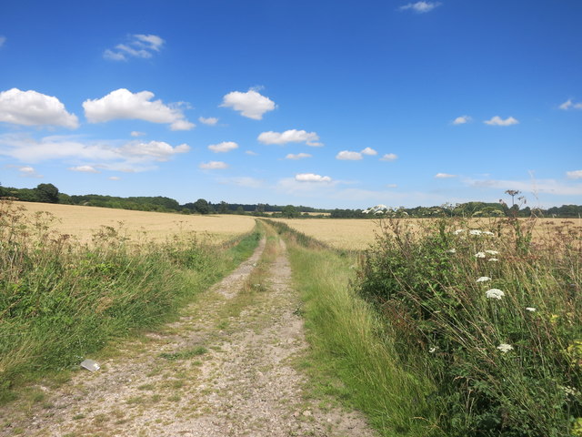
One of the highlights of Little Sadler's Copse is the network of well-maintained footpaths that wind their way through the woodland. These pathways offer visitors the opportunity to immerse themselves in the peaceful ambiance, while also providing access to various viewpoints and picnic spots, ideal for enjoying a peaceful lunch surrounded by nature.

The copse is also home to a rich variety of wildlife, making it a haven for birdwatchers and nature photographers. Common sightings include woodpeckers, buzzards, and owls, adding to the enchanting atmosphere of the woodland.

Little Sadler's Copse is easily accessible, with ample parking available nearby, and is open to the public throughout the year. Whether you are seeking a tranquil escape or an opportunity to explore the wonders of nature, this woodland gem in Berkshire promises a delightful experience for all who visit.

If you have any feedback on the listing, please let us know in the comments section below.

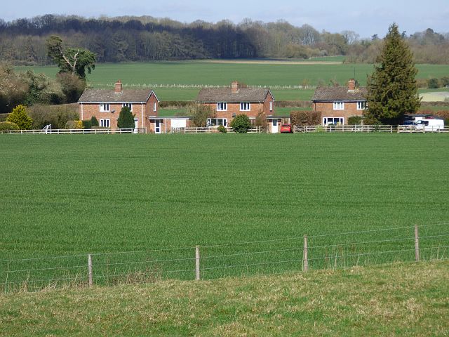
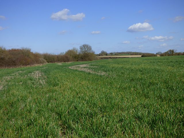
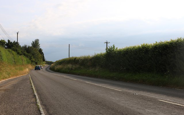
Little Sadler's Copse Images

Images are sourced within 2km of 51.378986/-1.5056282 or Grid Reference SU3464. Thanks to Geograph Open Source API. All images are credited.

Country lane, Inkpen, Berkshire
Before the rain, Inkpen, Berkshire
Farmland, Inkpen, Berkshire
Hay Cutting in the Valley Freshly cut hay near the gate, with baled up stuff further in. A long hay meadow in a shallow dry valley surrounded by woodland on three sides.
Hay Cutting in the Valley
Freshly cut hay near the gate, with baled up stuff further in. A long hay meadow in a shallow dry valley surrounded by woodland on three sides.
Towards Totterdown Copse Totterdown Copse in the distance with rather marginal looking grazing land in front.
Towards Totterdown Copse
Totterdown Copse in the distance with rather marginal looking grazing land in front.
Track to Little Templeton Access to a property in the trees on the left.
Track to Little Templeton
Access to a property in the trees on the left.
Old Milestone by the A338, south of Hungerford Carved stone post by the A338, in parish of Hungerford (West Berkshire District), Salisbury Road; lay-by near Hollytree Cottages, North of Prosperous Farm, on wide grass verge at northern entrance of lay-by, on East side of road. Hungerford tombstone, erected by the Leckford or Sousley Water turnpike trust in the 18th century. 

Inscription reads:-
TO
HUNGERFORD
2
SARUM
25
Carved benchmark and rivet on top.

Grade II listed.
List Entry Number: 1289529 <span class="nowrap"><a title="https://historicengland.org.uk/listing/the-list/list-entry/1289529" rel="nofollow ugc noopener" href="https://historicengland.org.uk/listing/the-list/list-entry/1289529">Link</a><img style="margin-left:2px;" alt="External link" title="External link - shift click to open in new window" src="https://s1.geograph.org.uk/img/external.png" width="10" height="10"/></span>

Milestone Society National ID: BE_HGSA02
Old Milestone by the A338, south of Hungerford
Carved stone post by the A338, in parish of Hungerford (West Berkshire District), Salisbury Road; lay-by near Hollytree Cottages, North of Prosperous Farm, on wide grass verge at northern entrance of lay-by, on East side of road. Hungerford tombstone, erected by the Leckford or Sousley Water turnpike trust in the 18th century. Inscription reads:- TO HUNGERFORD 2 SARUM 25 Carved benchmark and rivet on top. Grade II listed. List Entry Number: 1289529 LinkExternal link Milestone Society National ID: BE_HGSA02
Track through oilseed rape field beside Inkpen Road
Field beside New Templeton Gorse
Thatch by the green at Lower Green
Farmland, Hungerford A crop of beans under a threatening-looking sky beside the footpath approaching Elm Copse.
Farmland, Hungerford
A crop of beans under a threatening-looking sky beside the footpath approaching Elm Copse.
Farmland, Hungerford Pasture at Mount Prosperous with arable land beyond stretching towards the downs.
Farmland, Hungerford
Pasture at Mount Prosperous with arable land beyond stretching towards the downs.
Farmland and houses, Anvilles, Inkpen Viewed across an arable field from the footpath west of Totterdown.
Farmland and houses, Anvilles, Inkpen
Viewed across an arable field from the footpath west of Totterdown.
Farmland, Hungerford Looking into Berkshire from the boundary with Wiltshire.
Farmland, Hungerford
Looking into Berkshire from the boundary with Wiltshire.
The A338, Shalbourne
Farmland, Ham Oil-seed rape north of the road at Ham Spray.
Farmland, Ham
Oil-seed rape north of the road at Ham Spray.
Farmland, Inkpen A bridleway descending towards the village from the downs.
Farmland, Inkpen
A bridleway descending towards the village from the downs.
Show me another place!

Little Sadler's Copse is located at Grid Ref: SU3464 (Lat: 51.378986, Lng: -1.5056282)

Unitary Authority: West Berkshire

Police Authority: Thames Valley

What 3 Words

///influence.evolution.bounty. Near Shalbourne, Wiltshire

Related Wikis

Anvilles

Anvilles is a hamlet in the English county of Berkshire, and within the civil parish of Inkpen (formerly in Kintbury). == See also == Civil parishes in...

Ham, Wiltshire

Ham is a small village and civil parish in Wiltshire, England. The parish borders the county of Berkshire, and the village lies about 3+1⁄4 miles (5.2...

Inkpen Crocus Field

Inkpen Crocus Fields is a 3.1-hectare (7.7-acre) biological Site of Special Scientific Interest near Inkpen in Berkshire. It is managed by the Berkshire...

Inkpen

Inkpen is a village and civil parish in West Berkshire, 3.5 miles (5.6 km) southeast of Hungerford, most of the land of which is cultivated fields with...

Inkpen Hill

Inkpen Hill is a summit in Berkshire, England, with a maximum elevation of 291 m (955 ft). The hill is about 7 miles (11 km) southwest of Newbury on the...

John O'Gaunt School

John O'Gaunt School is a coeducational secondary school in Hungerford, Berkshire, England for students aged 11 to 16. It was Berkshire's first community...
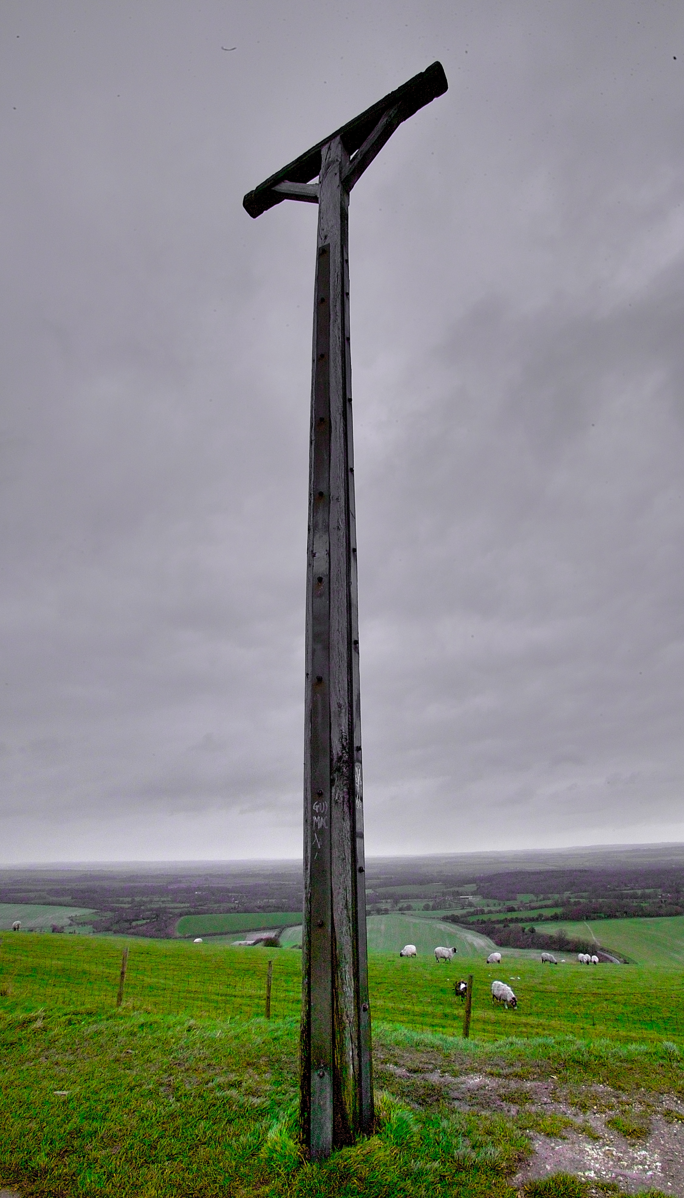
Combe Gibbet

Combe Gibbet is a gibbet at the top of Gallows Down, near the village and just within the civil parish of Combe in Berkshire (formerly Hampshire), England...

Inkpen and Walbury Hills

Inkpen and Walbury Hills is an 86.8-hectare (214-acre) biological Site of Special Scientific Interest south of Kintbury in Berkshire. The site is situated...

Have you been to Little Sadler's Copse?

Leave your review of Little Sadler's Copse below (or comments, questions and feedback).