Sowter's Plantation
Wood, Forest in Derbyshire Amber Valley
England
Sowter's Plantation

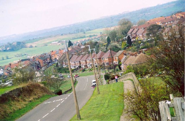
Sowter's Plantation is a picturesque woodland located in Derbyshire, England. Covering an area of approximately 50 acres, it is nestled within the scenic landscape of the Derbyshire Dales. The plantation is situated in close proximity to the small village of Sowter, from which it derives its name.
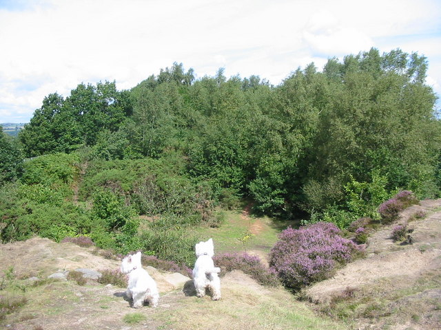
The woodland is predominantly made up of various species of trees, including oak, ash, beech, and birch. These ancient trees create a dense canopy that provides a habitat for a diverse range of wildlife. Sowter's Plantation is known for its rich biodiversity, attracting nature enthusiasts and birdwatchers from far and wide.
The forest floor is adorned with a carpet of wildflowers, including bluebells, primroses, and wood anemones, creating a stunning display of colors during the spring months. The plantation is also home to a small stream that meanders through the woodland, adding to its natural charm.
Sowter's Plantation offers numerous walking trails, allowing visitors to explore its natural beauty at their own pace. The paths wind through the woodland, providing glimpses of wildlife and stunning views of the surrounding countryside. The plantation is particularly popular with hikers and families seeking a peaceful retreat in the heart of nature.
Managed by the local authorities, Sowter's Plantation is well-maintained and offers amenities such as picnic areas and benches for visitors to relax and enjoy the tranquil atmosphere. The woodland is easily accessible by car or public transport, making it a popular destination for day trips and nature lovers seeking respite from the bustling city life.
If you have any feedback on the listing, please let us know in the comments section below.
Sowter's Plantation Images
Images are sourced within 2km of 53.00134/-1.4872635 or Grid Reference SK3445. Thanks to Geograph Open Source API. All images are credited.


Sowter's Plantation is located at Grid Ref: SK3445 (Lat: 53.00134, Lng: -1.4872635)
Administrative County: Derbyshire
District: Amber Valley
Police Authority: Derbyshire
What 3 Words
///distracts.drifters.suffix. Near Duffield, Derbyshire
Nearby Locations
Related Wikis
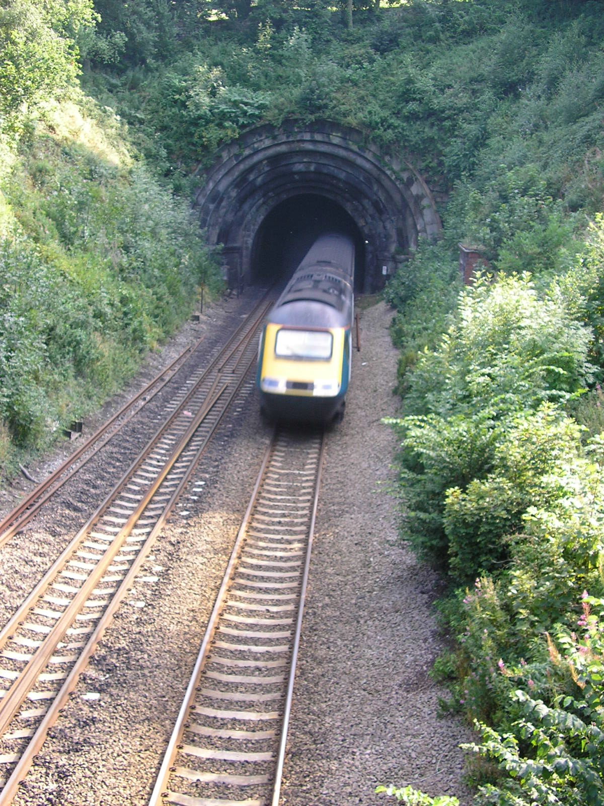
Milford Tunnel
Milford Tunnel is a double-track railway tunnel on the Midland Main Line in Derbyshire which runs under a hill called the Chevin between Duffield and Belper...

Milford, Derbyshire
Milford is a village in Derbyshire, England, on the River Derwent, between Duffield and Belper on the A6 trunk road. Until the end of the 18th century...

Milford Hydro
Milford Hydro is the name given to a hydro-electric power plant built on the River Derwent in Milford, Derbyshire. The original electrical power plant...
Holy Trinity Church, Milford
Holy Trinity Church, Milford is a former Grade II listed parish church in the Church of England situated in Milford, Derbyshire. == History == The architect...
Hopping Hill
Hopping Hill is an area in Milford, Derbyshire, England. It consists mainly of 19th century terraced housing, built by the Strutt family to house workers...

Holly Bush Inn, Makeney
The Holly Bush Inn is a Grade II listed public house at 2 Holly Bush Lane, Makeney, Derbyshire, DE56 0RX. It is a family run pub.It is on the Campaign...
North Midlands
The North Midlands is a loosely defined area covering the northern parts of the Midlands in England. It is not one of the ITL regions like the East Midlands...

Duffield Castle, Derbyshire
Duffield Castle was a Norman Castle in Duffield, Derbyshire. The site is a scheduled monument. It was on a rocky promontory facing the river, easily defended...
Nearby Amenities
Located within 500m of 53.00134,-1.4872635Have you been to Sowter's Plantation?
Leave your review of Sowter's Plantation below (or comments, questions and feedback).