Ashy Bank Wood

Wood, Forest in Durham

England

Ashy Bank Wood

Girsby Bridge A wrought and cast iron bridge over the River Tees at Girsby.
Girsby Bridge Credit: John Peacock

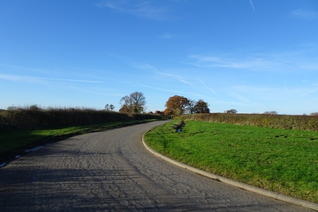
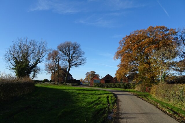
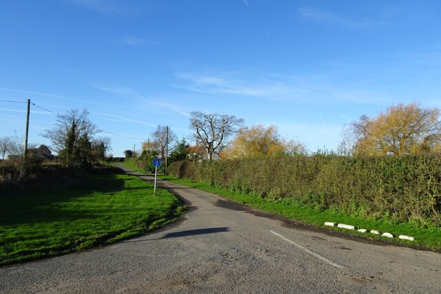
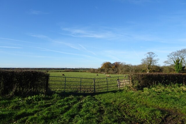
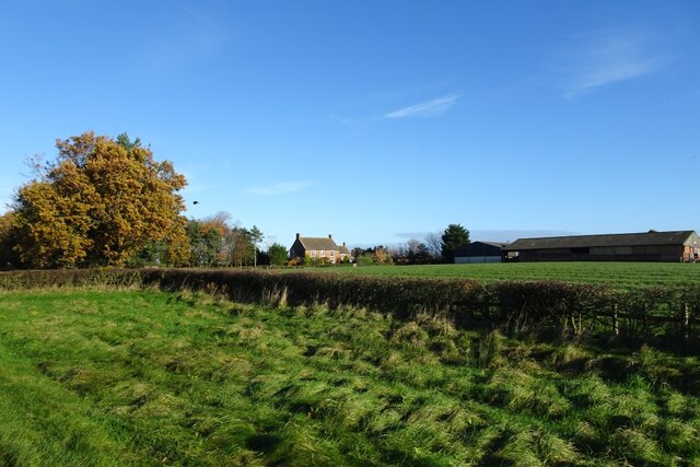
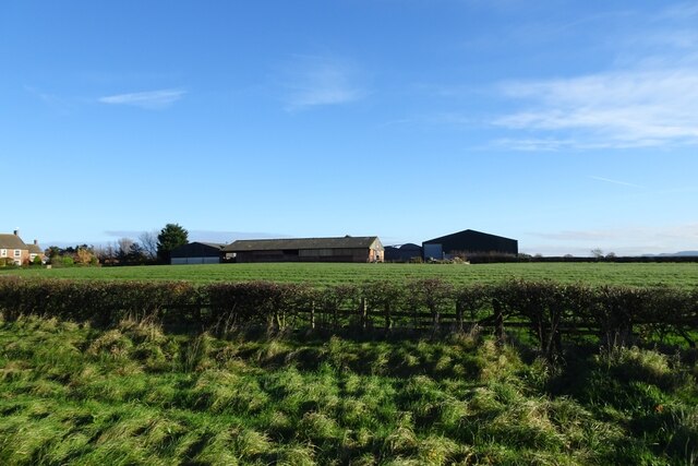
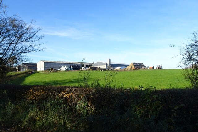
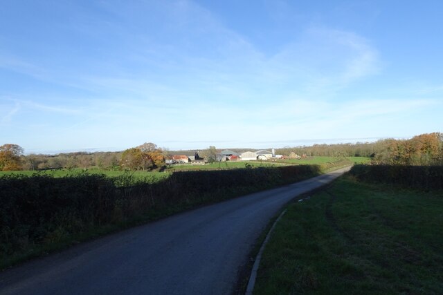
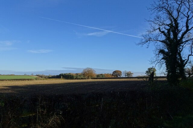
Ashy Bank Wood is a picturesque woodland located in Durham, England. Covering an area of approximately 20 hectares, it is situated on the northern fringes of the city, near the village of Bearpark. The woodland is part of the larger area known as the Durham Wildlife Trust Nature Reserve, which encompasses a diverse range of habitats.

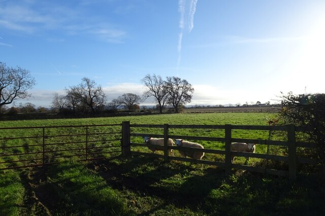
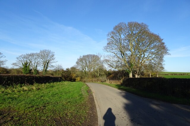
Ashy Bank Wood is predominantly made up of deciduous trees, including oak, ash, and birch. These majestic trees create a dense canopy, providing shade and shelter for a variety of flora and fauna. The woodland floor is carpeted with wildflowers such as bluebells, wood anemones, and primroses, which bloom in abundance during the spring months.

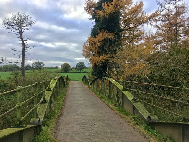
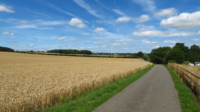
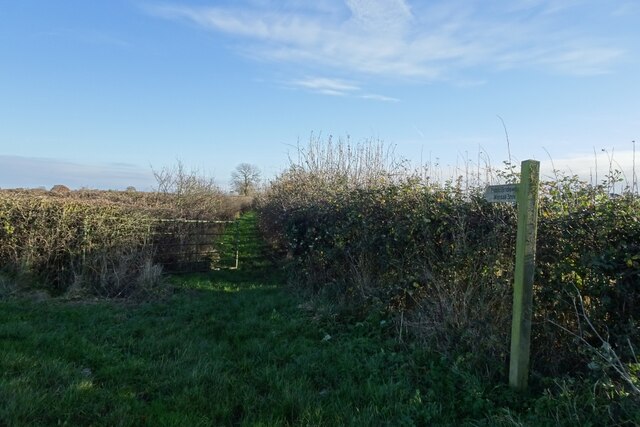
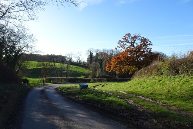
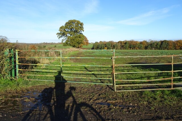
The wood is crisscrossed by a network of footpaths, allowing visitors to explore its tranquil surroundings. The paths wind through the trees, leading to clearings and small ponds, where wildlife can often be spotted. The wood is a haven for birds, with species such as woodpeckers, nuthatches, and tawny owls making it their home.

Ashy Bank Wood has a rich history, with evidence of human activity dating back centuries. The remains of old mining pits can still be seen, serving as a reminder of the area's industrial past. Today, the woodland is managed by the Durham Wildlife Trust, which works to preserve its natural beauty and promote biodiversity.

Whether you are a nature enthusiast, a keen walker, or simply looking for a peaceful retreat, Ashy Bank Wood offers a serene and captivating experience, showcasing the beauty of Durham's natural landscape.

If you have any feedback on the listing, please let us know in the comments section below.

Ashy Bank Wood Images

Images are sourced within 2km of 54.46633/-1.4686195 or Grid Reference NZ3408. Thanks to Geograph Open Source API. All images are credited.

Girsby Bridge A wrought and cast iron bridge over the River Tees at Girsby.
Girsby Bridge
A wrought and cast iron bridge over the River Tees at Girsby.
On the Teesdale Way heading N from The Ashes towards Dinsdale
Road near Moor Plantation Looking along the road heading towards Girsby. National Cycle Network route 165 runs along here.
Road near Moor Plantation
Looking along the road heading towards Girsby. National Cycle Network route 165 runs along here.
Girby and Over Dinsdale Village Hall The village hall stands between the two villages, just to the south of Moor Plantation.
Girby and Over Dinsdale Village Hall
The village hall stands between the two villages, just to the south of Moor Plantation.
Sheep near the village hall Three inquisitive sheep standing near the road next to Girsby and Over Dinsdale village hall.
Sheep near the village hall
Three inquisitive sheep standing near the road next to Girsby and Over Dinsdale village hall.
Bridleway to Worsall Viewed from the road near Girsby Hall Farm.
Bridleway to Worsall
Viewed from the road near Girsby Hall Farm.
Road near Girsby Hall Farm National Cycle Network route 165 runs along here.
Road near Girsby Hall Farm
National Cycle Network route 165 runs along here.
Bend in the road at Girsby Hall Farm National Cycle Network route 165 runs along here.
Bend in the road at Girsby Hall Farm
National Cycle Network route 165 runs along here.
Road to Girsby Village The no through road leads to the village and Church.
Road to Girsby Village
The no through road leads to the village and Church.
Sheep field near Girsby Green Farm Looking into a sheep field opposite Girsby Green Farm.
Sheep field near Girsby Green Farm
Looking into a sheep field opposite Girsby Green Farm.
Road near Girsby Green Farm National Cycle Network route 165 runs along here.
Road near Girsby Green Farm
National Cycle Network route 165 runs along here.
Girsby Green Farm Looking towards the farm from the road south of the village.
Girsby Green Farm
Looking towards the farm from the road south of the village.
Farm buildings at Girsby Green Farm Looking across a field towards the farm from the road south of Girsby.
Farm buildings at Girsby Green Farm
Looking across a field towards the farm from the road south of Girsby.
Road descending to Staindale Bridge National Cycle Network route 165 runs along here.
Road descending to Staindale Bridge
National Cycle Network route 165 runs along here.
East Sockburn Farm Looking towards the farm from the road near Staindale Bridge.
East Sockburn Farm
Looking towards the farm from the road near Staindale Bridge.
Road towards Staindale Bridge National Cycle Network route 165 runs along here.
Road towards Staindale Bridge
National Cycle Network route 165 runs along here.
Farmland near Staindale Bridge Fields north of the road and south of Staindale Bridge.
Farmland near Staindale Bridge
Fields north of the road and south of Staindale Bridge.
Fields beside a bend in the road Looking across fields in the low winter sun.
Fields beside a bend in the road
Looking across fields in the low winter sun.
Show me another place!

Ashy Bank Wood is located at Grid Ref: NZ3408 (Lat: 54.46633, Lng: -1.4686195)

Unitary Authority: Darlington

Police Authority: Durham

What 3 Words

///sweetener.ankle.vocals. Near Hurworth, Co. Durham

Related Wikis

Sockburn

Sockburn is a village and former civil parish, now in the parish of Neasham, in the Darlington district, in the ceremonial county of Durham, England. It...

Sockburn Hall

Sockburn Hall is a privately owned 19th-century country house at Sockburn, near Darlington, County Durham, England. It is a Grade II* listed building....

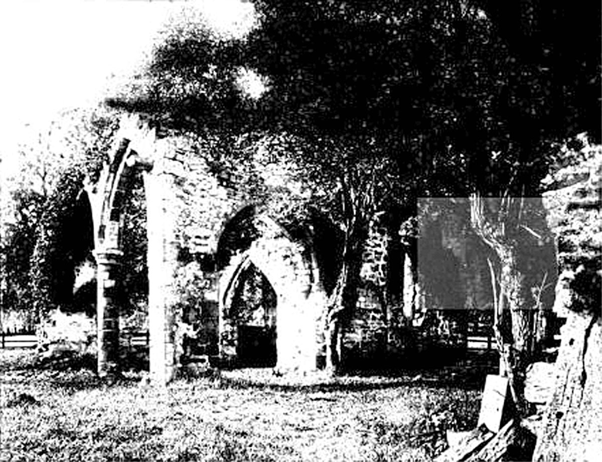
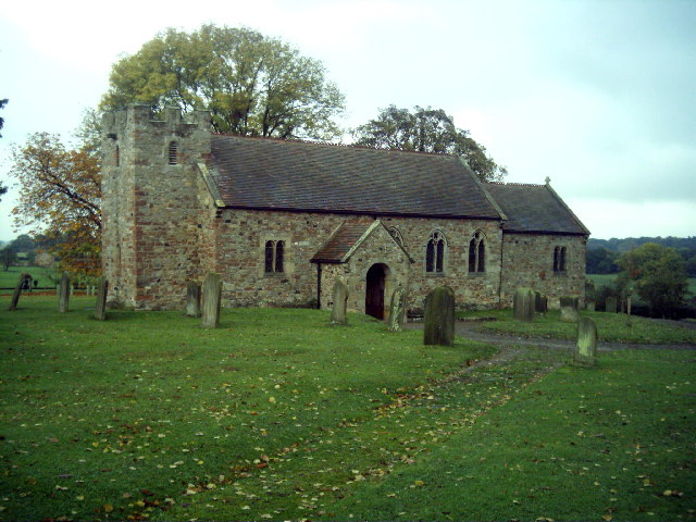
All Saints Church, Sockburn

All Saints Church is a ruined Church of England parish church in Sockburn, County Durham, England. A Grade I listed building, the church has pre- and post...

Girsby

Girsby is a village and civil parish in the former Hambleton District of North Yorkshire, England. The village lies on high ground on the eastern bank...

Eryholme

Eryholme is a village and civil parish in the district of Richmondshire in North Yorkshire, England. As the population remained less than 100 in the 2011...

Neasham

Neasham is a village approximately four miles to the south east of Darlington in County Durham, England. == Geography and recreation == The village sits...

Low Dinsdale Manor

Low Dinsdale Manor is a privately owned, much altered, and extended medieval moated fortified manor house situated on the north bank of the River Tees...

Hornby, Hambleton

Hornby is a village and civil parish in the Hambleton district of North Yorkshire, England. It lies on a minor road between Great Smeaton and Appleton...

Nearby Amenities

Located within 500m of 54.46633,-1.4686195
Power: pole
Transformer: distribution
Lat/Long: 54.4677462/-1.4642159
Power: pole
Lat/Long: 54.4700828/-1.465677
Power: pole
Lat/Long: 54.4691725/-1.4651459
Power: pole
Lat/Long: 54.4682996/-1.4646122
Power: pole
Lat/Long: 54.4677322/-1.4642769
Power: pole
Lat/Long: 54.4668016/-1.4637378
Power: pole
Lat/Long: 54.4658679/-1.4631745
Power: pole
Lat/Long: 54.4647252/-1.4627481
High Sockburn
Place: hamlet
Source Name: OS OpenData StreetView
Lat/Long: 54.4670775/-1.4655939
The data included in this document is from www.openstreetmap.org. The data is made available under ODbL.

Have you been to Ashy Bank Wood?

Leave your review of Ashy Bank Wood below (or comments, questions and feedback).