Liberty Wood

Wood, Forest in Durham

England

Liberty Wood

Farmland, Low Dinsdale A footpath follows the edge of the field.
Farmland, Low Dinsdale Credit: Andrew Smith

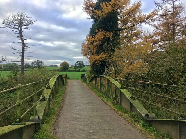
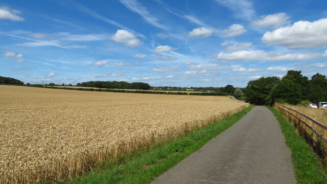
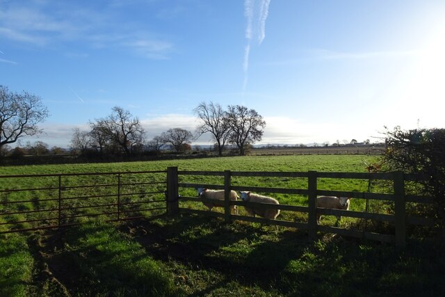
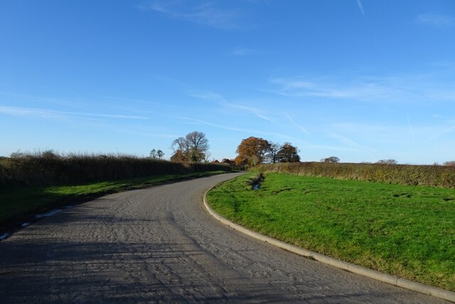
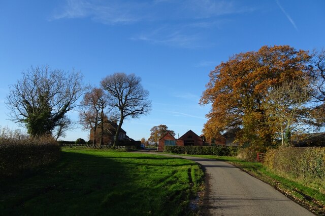
Liberty Wood, located in Durham, England, is a picturesque forest area that spans approximately 100 acres. It is nestled within the larger Durham County and is known for its diverse wildlife, ancient woodlands, and tranquil atmosphere. The wood is managed by the Forestry Commission, ensuring its preservation and accessibility to the public.

The woodland is predominantly composed of native broadleaf trees, such as oak, birch, and beech, which provide a rich habitat for a wide variety of flora and fauna. Bluebells carpet the forest floor in spring, creating a breathtaking display of vibrant colors. Additionally, Liberty Wood is home to several protected species, including red squirrels, great spotted woodpeckers, and tawny owls.

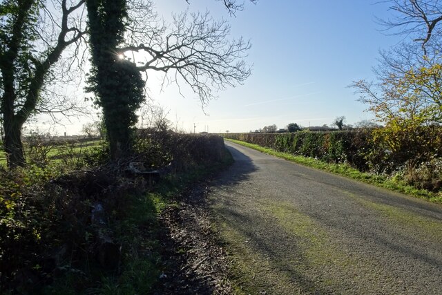
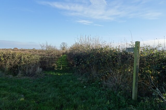
The wood offers a range of recreational activities for visitors to enjoy. There are numerous walking trails, allowing visitors to explore the diverse landscapes, from open meadows to dense woodland areas. The trails are well-maintained, making them suitable for both casual strolls and more adventurous hikes. Along the way, visitors can make use of the strategically placed benches and picnic areas to rest and take in the natural beauty surrounding them.

Liberty Wood also provides opportunities for educational visits, with informative signs and displays that highlight the importance of conservation and the history of the area. It offers a unique learning experience for schools and nature enthusiasts alike.

Overall, Liberty Wood in Durham offers a peaceful retreat from the bustle of city life, where visitors can immerse themselves in the beauty of nature and appreciate the wonders of the woodland ecosystem.

If you have any feedback on the listing, please let us know in the comments section below.
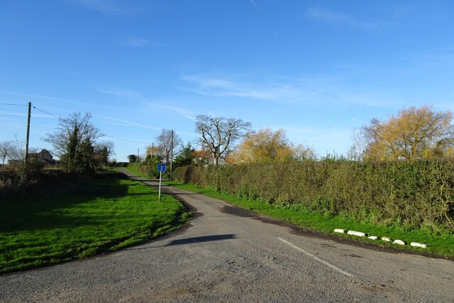
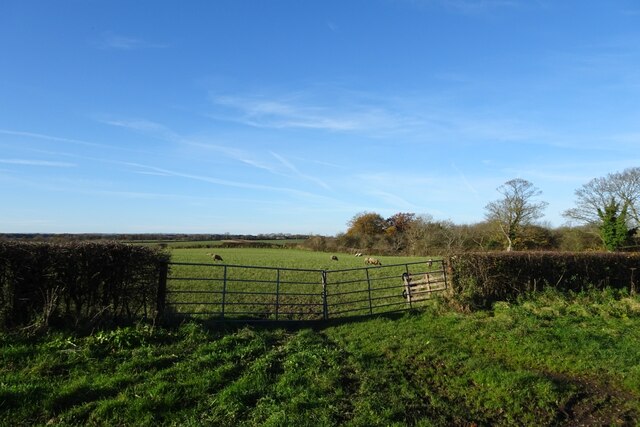
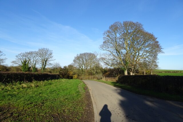
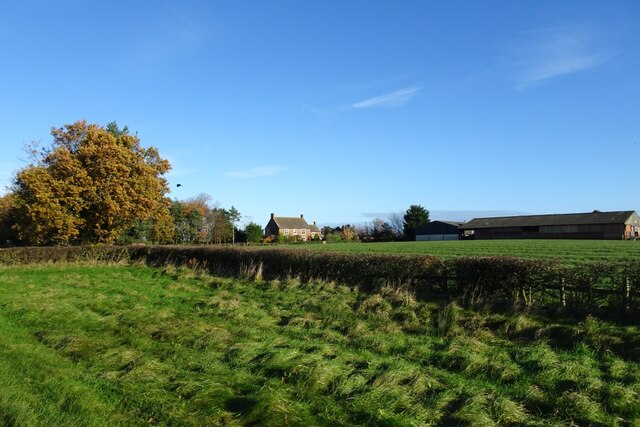
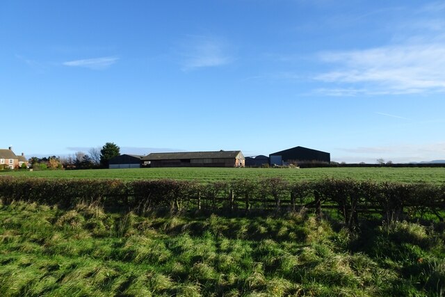
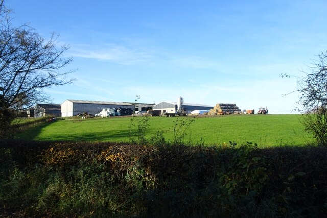
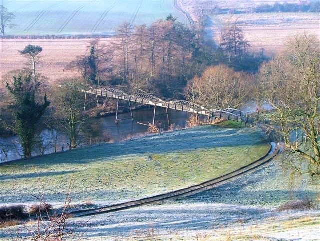
Liberty Wood Images

Images are sourced within 2km of 54.472443/-1.4731695 or Grid Reference NZ3408. Thanks to Geograph Open Source API. All images are credited.

Farmland, Low Dinsdale A footpath follows the edge of the field.
Farmland, Low Dinsdale
A footpath follows the edge of the field.
Farmland, Neasham The bridleway near Neasham Hill Farm. There is a different approach to the management of rights of way a little further south <a title="www.geograph.org.uk/6166463" href="https://www.geograph.org.uk/6166463">Link</a> . Progress on this stretch isn't too difficult yet but seems likely to become problematic as we move into summer.
Farmland, Neasham
The bridleway near Neasham Hill Farm. There is a different approach to the management of rights of way a little further south Link . Progress on this stretch isn't too difficult yet but seems likely to become problematic as we move into summer.
Sockburn Lane The lane provides access to the long peninsula formed by a loop of the River Tees.
Sockburn Lane
The lane provides access to the long peninsula formed by a loop of the River Tees.
Girsby Bridge A wrought and cast iron bridge over the River Tees at Girsby.
Girsby Bridge
A wrought and cast iron bridge over the River Tees at Girsby.
On the Teesdale Way heading N from The Ashes towards Dinsdale
Road passing Moor Plantation National Cycle Network route 165 runs along here.
Road passing Moor Plantation
National Cycle Network route 165 runs along here.
Road near Moor Plantation Looking along the road heading towards Girsby. National Cycle Network route 165 runs along here.
Road near Moor Plantation
Looking along the road heading towards Girsby. National Cycle Network route 165 runs along here.
Girby and Over Dinsdale Village Hall The village hall stands between the two villages, just to the south of Moor Plantation.
Girby and Over Dinsdale Village Hall
The village hall stands between the two villages, just to the south of Moor Plantation.
Sheep near the village hall Three inquisitive sheep standing near the road next to Girsby and Over Dinsdale village hall.
Sheep near the village hall
Three inquisitive sheep standing near the road next to Girsby and Over Dinsdale village hall.
Bridleway to Worsall Viewed from the road near Girsby Hall Farm.
Bridleway to Worsall
Viewed from the road near Girsby Hall Farm.
Road near Girsby Hall Farm National Cycle Network route 165 runs along here.
Road near Girsby Hall Farm
National Cycle Network route 165 runs along here.
Bend in the road at Girsby Hall Farm National Cycle Network route 165 runs along here.
Bend in the road at Girsby Hall Farm
National Cycle Network route 165 runs along here.
Road to Girsby Village The no through road leads to the village and Church.
Road to Girsby Village
The no through road leads to the village and Church.
Sheep field near Girsby Green Farm Looking into a sheep field opposite Girsby Green Farm.
Sheep field near Girsby Green Farm
Looking into a sheep field opposite Girsby Green Farm.
Road near Girsby Green Farm National Cycle Network route 165 runs along here.
Road near Girsby Green Farm
National Cycle Network route 165 runs along here.
Girsby Green Farm Looking towards the farm from the road south of the village.
Girsby Green Farm
Looking towards the farm from the road south of the village.
Farm buildings at Girsby Green Farm Looking across a field towards the farm from the road south of Girsby.
Farm buildings at Girsby Green Farm
Looking across a field towards the farm from the road south of Girsby.
East Sockburn Farm Looking towards the farm from the road near Staindale Bridge.
East Sockburn Farm
Looking towards the farm from the road near Staindale Bridge.
Show me another place!

Liberty Wood is located at Grid Ref: NZ3408 (Lat: 54.472443, Lng: -1.4731695)

Unitary Authority: Darlington

Police Authority: Durham

What 3 Words

///places.apes.glue. Near Hurworth, Co. Durham

Related Wikis

Sockburn

Sockburn is a village and former civil parish, now in the parish of Neasham, in the Darlington district, in the ceremonial county of Durham, England. It...

Girsby

Girsby is a village and civil parish in the former Hambleton District of North Yorkshire, England. The village lies on high ground on the eastern bank...

Sockburn Hall

Sockburn Hall is a privately owned 19th-century country house at Sockburn, near Darlington, County Durham, England. It is a Grade II* listed building....

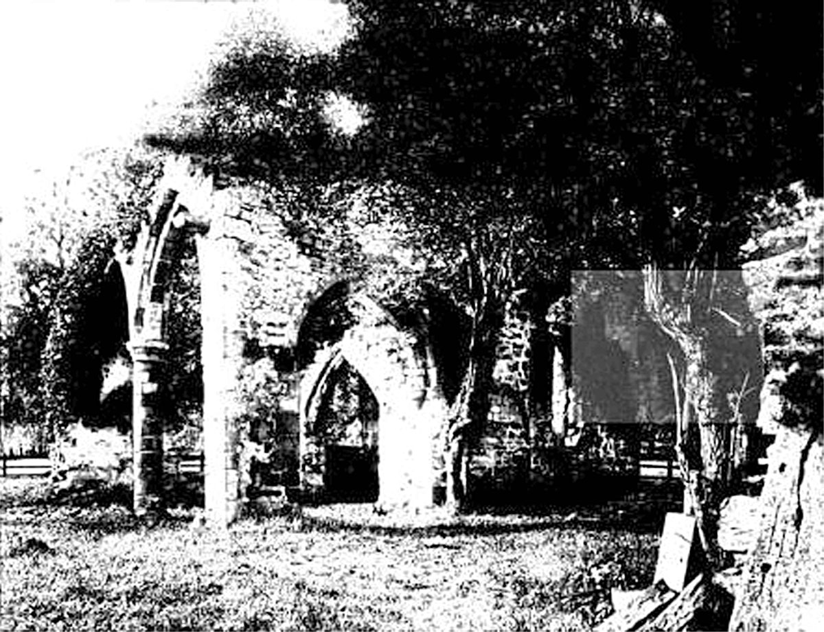
All Saints Church, Sockburn

All Saints Church is a ruined Church of England parish church in Sockburn, County Durham, England. A Grade I listed building, the church has pre- and post...

Eryholme

Eryholme is a village and civil parish in the district of Richmondshire in North Yorkshire, England. As the population remained less than 100 in the 2011...

Neasham

Neasham is a village approximately four miles to the south east of Darlington in County Durham, England. == Geography and recreation == The village sits...

Low Dinsdale Manor

Low Dinsdale Manor is a privately owned, much altered, and extended medieval moated fortified manor house situated on the north bank of the River Tees...

Neasham Priory

Neasham Priory is a priory founded for a community of Benedictine nuns before 1157. Located on the River Tees near Sockburn, County Durham, it was the...

Nearby Amenities

Located within 500m of 54.472443,-1.4731695
Power: pole
Lat/Long: 54.4761925/-1.4693195
Power: pole
Lat/Long: 54.4751951/-1.468724
Power: pole
Lat/Long: 54.4746948/-1.4684209
Power: pole
Lat/Long: 54.473663/-1.467804
Power: pole
Lat/Long: 54.4726297/-1.4671844
Power: pole
Lat/Long: 54.471788/-1.4667043
Power: pole
Lat/Long: 54.4709541/-1.466192
Liberty Lodge
Place: isolated_dwelling
Lat/Long: 54.4756875/-1.4705801
The data included in this document is from www.openstreetmap.org. The data is made available under ODbL.

Have you been to Liberty Wood?

Leave your review of Liberty Wood below (or comments, questions and feedback).