Howe Hill
Hill, Mountain in Yorkshire Hambleton
England
Howe Hill

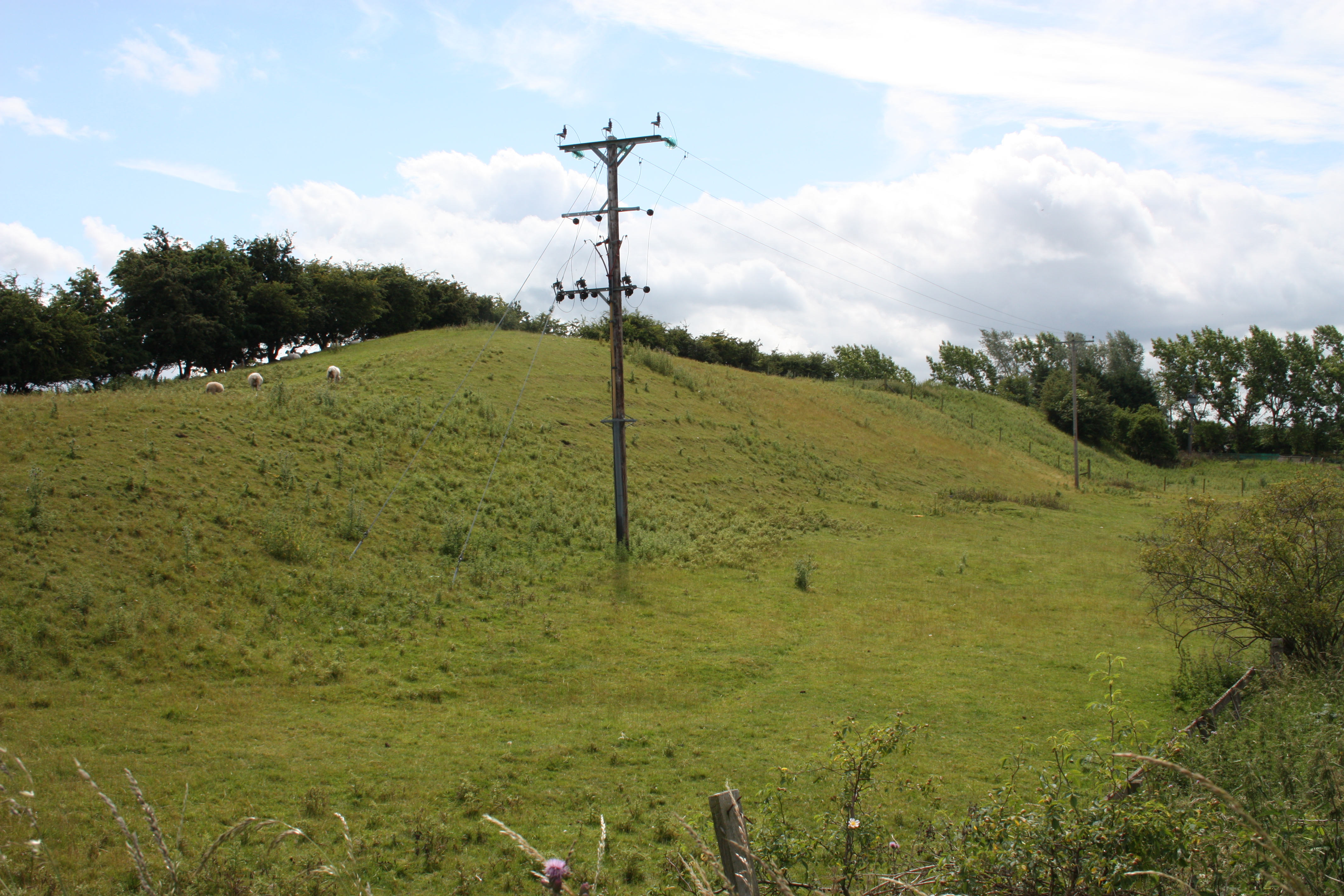
Howe Hill is a prominent landmark located in the picturesque county of Yorkshire, England. Situated in the northern part of the county, it is part of the stunning North York Moors National Park. Although not classified as a mountain, Howe Hill is a notable hill that reaches an elevation of approximately 410 meters (1,345 feet) above sea level.
The hill is characterized by its distinct conical shape and is covered in lush green vegetation, offering breathtaking panoramic views of the surrounding countryside. It is a popular destination for hikers and nature enthusiasts, who are drawn to its natural beauty and tranquility. The hill is home to a variety of native flora and fauna, including heather, gorse, and an array of bird species.
One of the main attractions of Howe Hill is its accessibility. There are several well-marked footpaths that lead to the summit, making it an ideal destination for walkers of all abilities. The paths wind through rolling hills and meandering streams, providing a truly immersive experience in nature.
At the top of Howe Hill, visitors are rewarded with stunning vistas of the North York Moors, with its patchwork of fields, forests, and moorland stretching as far as the eye can see. On clear days, it is even possible to catch glimpses of the nearby Yorkshire coast.
Whether it is for a leisurely stroll or a challenging hike, Howe Hill offers a memorable outdoor experience for individuals seeking solace in nature and a chance to appreciate the breathtaking beauty of Yorkshire's landscape.
If you have any feedback on the listing, please let us know in the comments section below.
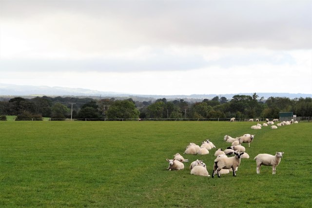
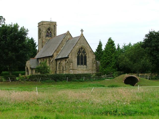
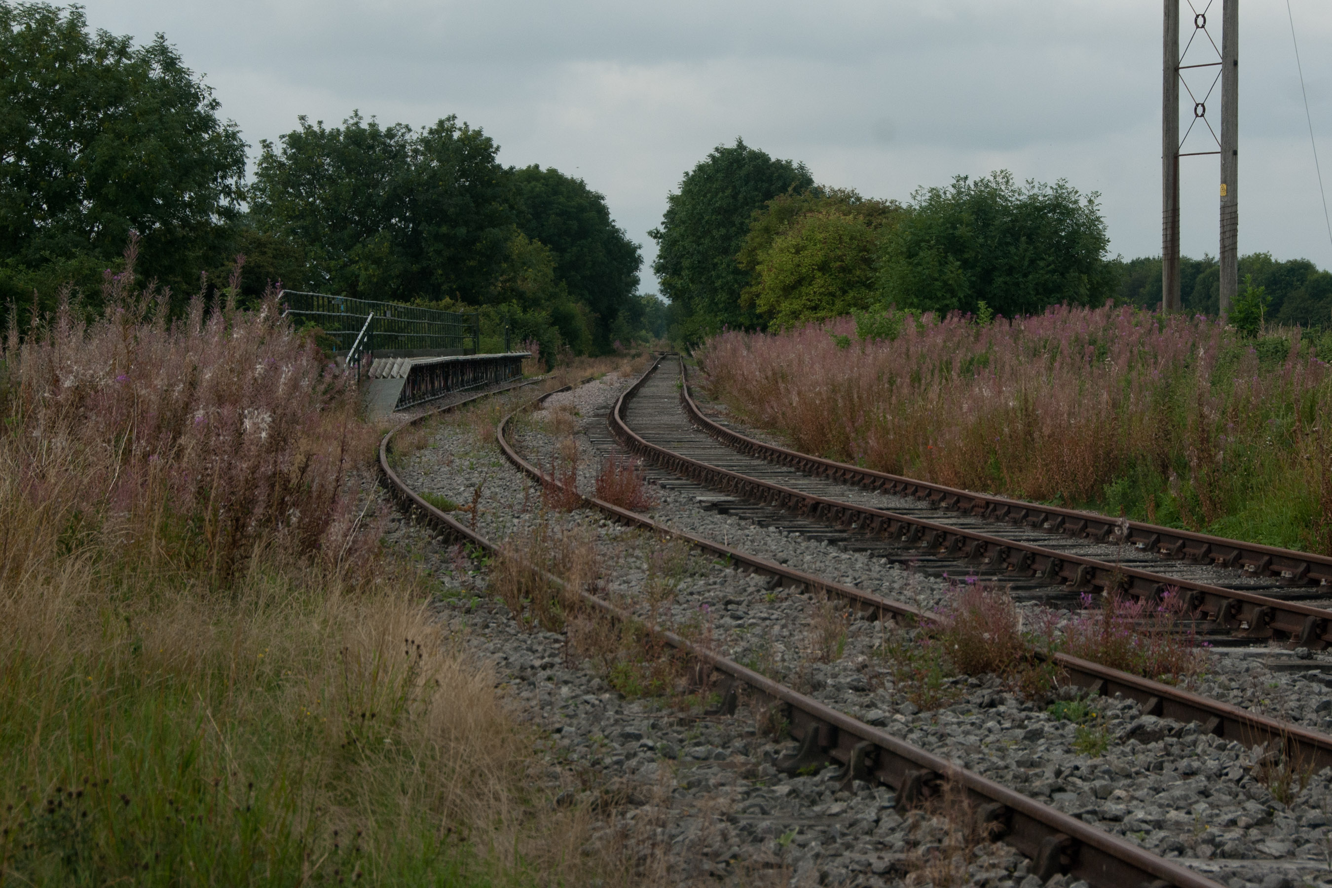
Howe Hill Images
Images are sourced within 2km of 54.349433/-1.468328 or Grid Reference SE3495. Thanks to Geograph Open Source API. All images are credited.


Howe Hill is located at Grid Ref: SE3495 (Lat: 54.349433, Lng: -1.468328)
Division: North Riding
Administrative County: North Yorkshire
District: Hambleton
Police Authority: North Yorkshire
What 3 Words
///obviously.future.swordfish. Near Northallerton, North Yorkshire
Nearby Locations
Related Wikis

All Saints' Church, Yafforth
All Saints’ Church, Yafforth, is a Grade II listed parish church in the Church of England: 405 in Yafforth, North Yorkshire. == History == The church...
Yafforth
Yafforth is a village and civil parish in North Yorkshire, England about 1 mile (1.6 km) west of Northallerton. The village lies on the B6271 road between...
Northallerton West railway station
Northallerton West is a temporary station built by the Wensleydale Railway as part of plans to link the railway with Northallerton, North Yorkshire, England...
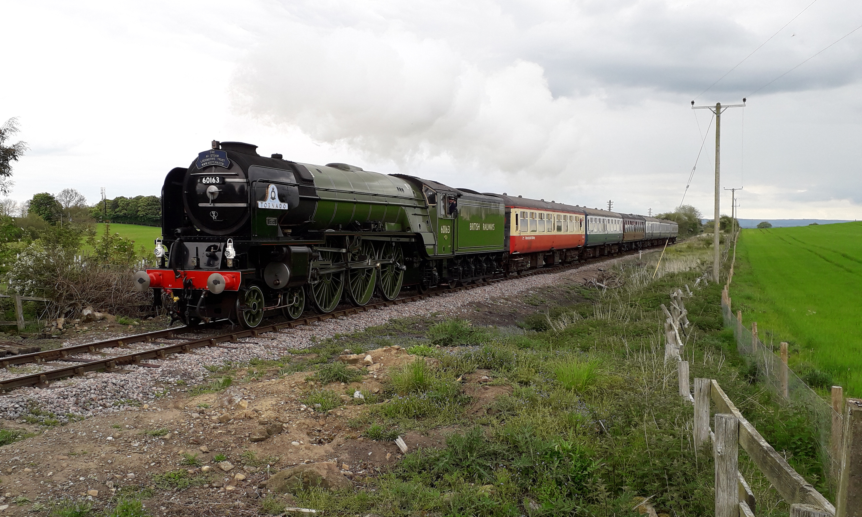
Wensleydale Railway
The Wensleydale Railway is a heritage railway in Wensleydale and Lower Swaledale in North Yorkshire, England. It was built in stages by different railway...
Northallerton Castle
Northallerton Castle was a defensive structure in Northallerton in North Yorkshire, England. The structure is thought to have been constructed c. 1068...
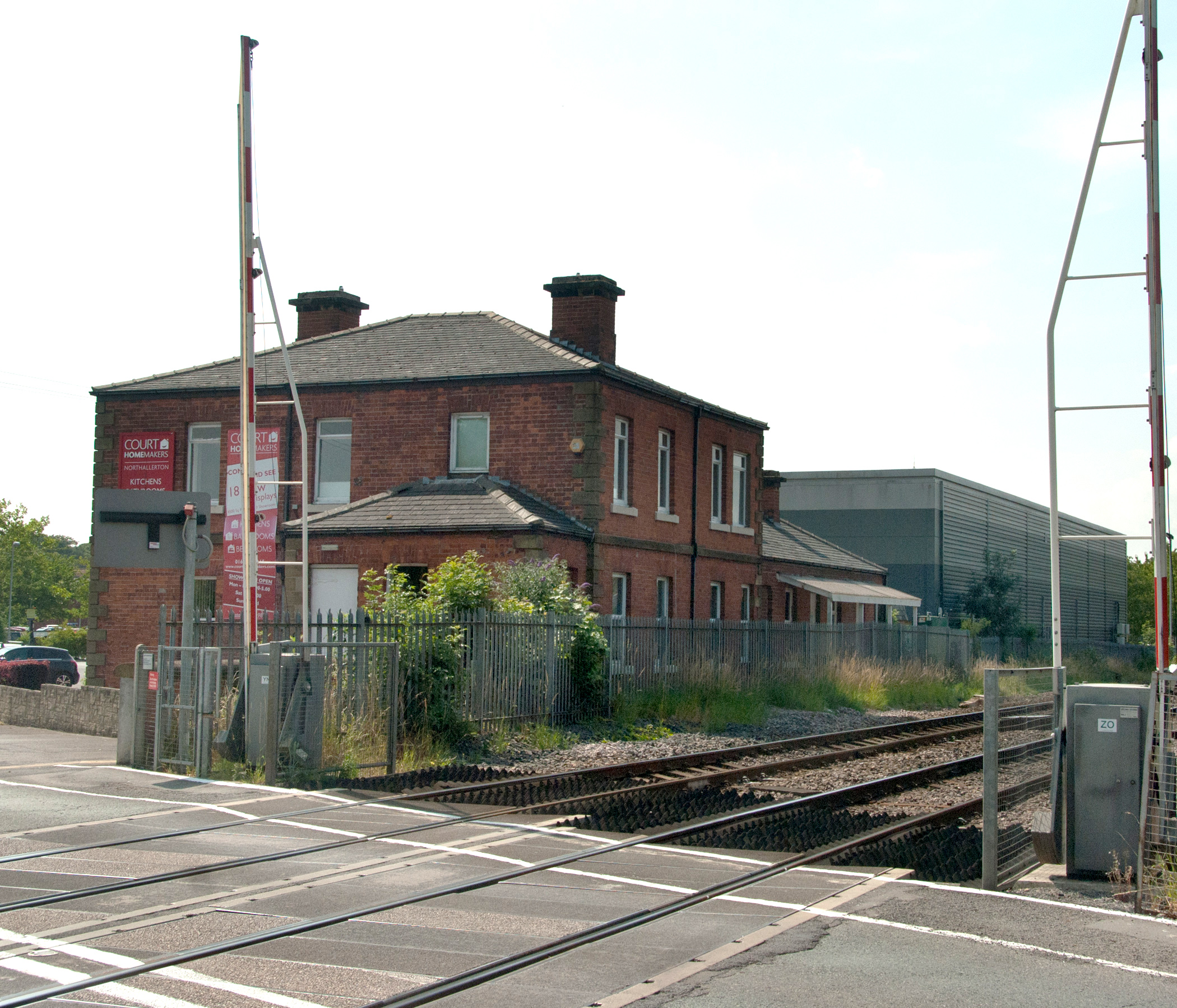
Northallerton Town railway station
Northallerton Town railway station was a railway station on the Leeds Northern Railway just north-east of the present day Northallerton railway station...
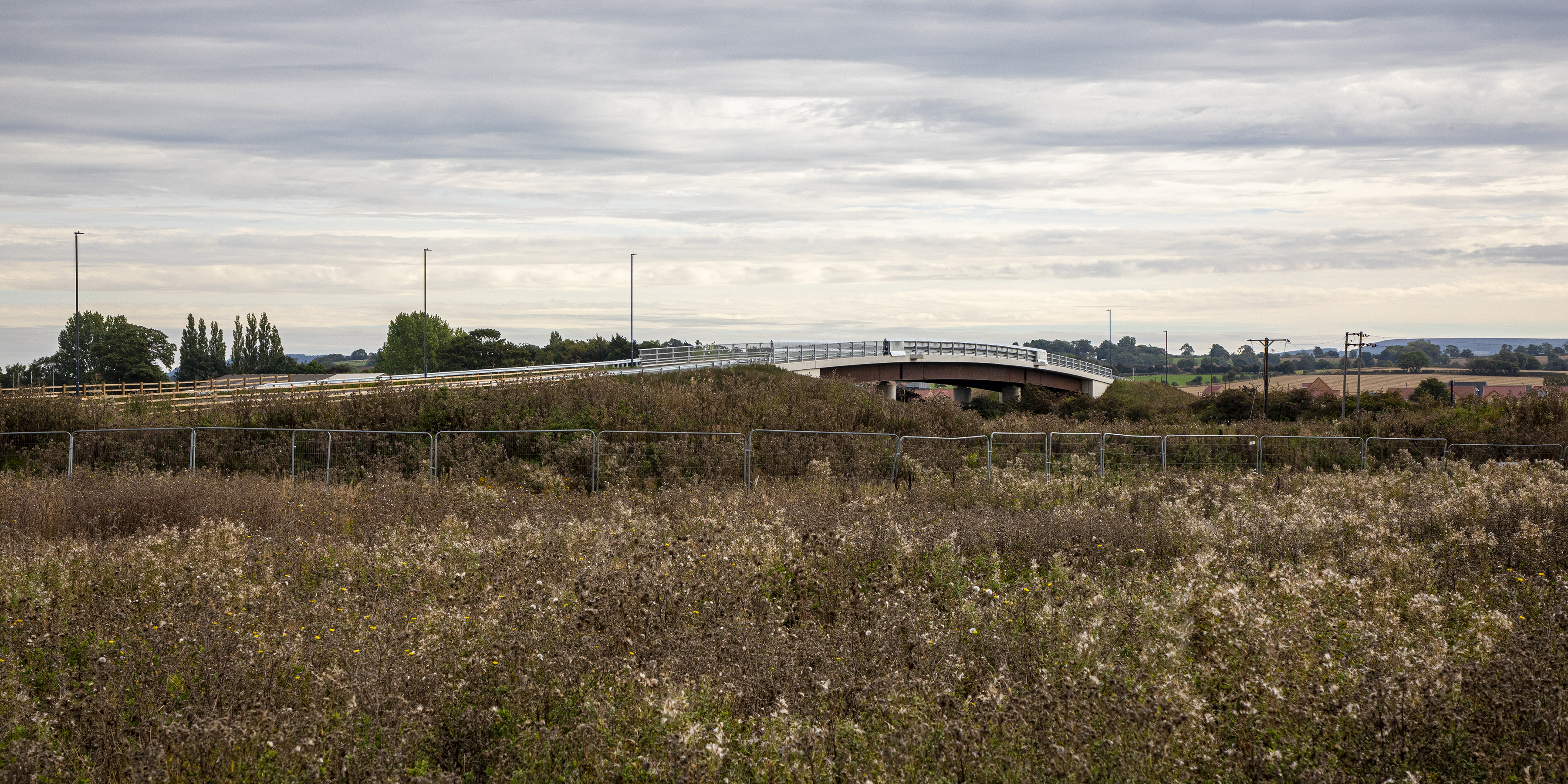
North Northallerton bridge
The North Northallerton bridge is a road bridge straddling the Northallerton–Eaglescliffe railway line in Northallerton, North Yorkshire, England. The...

All Saints' Church, Northallerton
All Saints’ Church, Northallerton is a Grade I listed parish church in the Church of England: 270 in Northallerton, North Yorkshire. == History == The...
Nearby Amenities
Located within 500m of 54.349433,-1.468328Have you been to Howe Hill?
Leave your review of Howe Hill below (or comments, questions and feedback).