Hollins Spring Wood
Wood, Forest in Derbyshire North East Derbyshire
England
Hollins Spring Wood

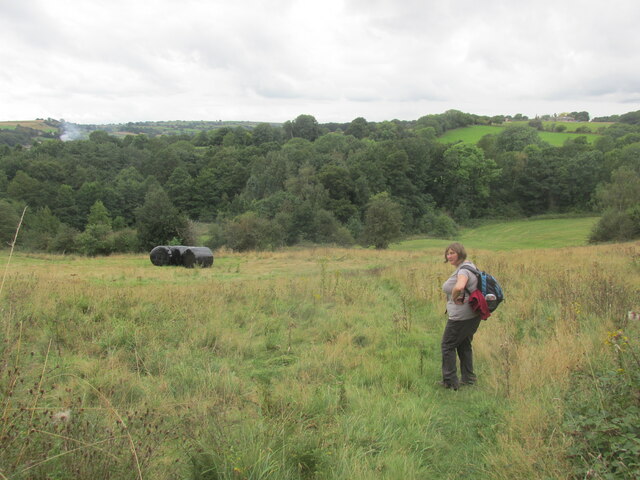
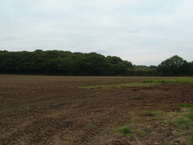
Hollins Spring Wood is a picturesque woodland located in Derbyshire, England. Covering an area of approximately 50 acres, it is a haven for nature enthusiasts and an important habitat for a diverse range of flora and fauna.
The wood is characterized by its dense canopy of oak, birch, and beech trees, which provide shelter and food for a wide variety of birds, insects, and small mammals. It is also home to several rare plant species, including bluebells and wood anemones, which create a stunning carpet of color during the spring months.
A network of well-maintained footpaths winds through the wood, allowing visitors to explore its beauty at their leisure. The paths are easy to navigate and suitable for all ages and abilities, making it a popular destination for families and walkers alike. Along the way, visitors can enjoy the tranquil atmosphere, listen to the melodic birdsong, and perhaps catch a glimpse of a deer or fox.
Hollins Spring Wood is not only a place of natural beauty but also holds historical significance. It is believed that the wood has been in existence since medieval times and has been managed and maintained by local organizations and conservation groups to preserve its ecological value.
The wood is open to the public throughout the year, free of charge. Visitors are encouraged to respect the environment and to take nothing but photographs, ensuring that future generations can also enjoy the timeless beauty of Hollins Spring Wood.
If you have any feedback on the listing, please let us know in the comments section below.
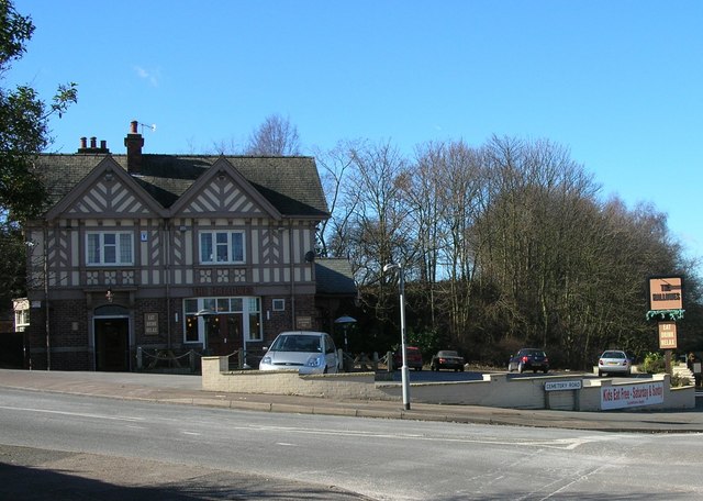
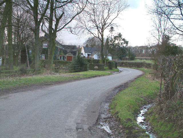
Hollins Spring Wood Images
Images are sourced within 2km of 53.28871/-1.4850014 or Grid Reference SK3476. Thanks to Geograph Open Source API. All images are credited.


Hollins Spring Wood is located at Grid Ref: SK3476 (Lat: 53.28871, Lng: -1.4850014)
Administrative County: Derbyshire
District: North East Derbyshire
Police Authority: Derbyshire
What 3 Words
///jetliner.ballparks.shuffle. Near Dronfield, Derbyshire
Nearby Locations
Related Wikis
Cowley, Derbyshire
Cowley is a small dispersed hamlet in North East Derbyshire, consisting of a few private houses and functioning farms strung out along Cowley Lane, which...

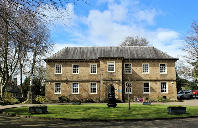
Dronfield Manor
Dronfield Manor is an early 18th-century manor house situated at Dronfield, Derbyshire, which is occupied by the town library. It is a Grade II listed...

Quoit Green
Quoit Green is an area of settlement in Derbyshire, England. It is located in Dronfield, close to the B6057 Chesterfield Road.

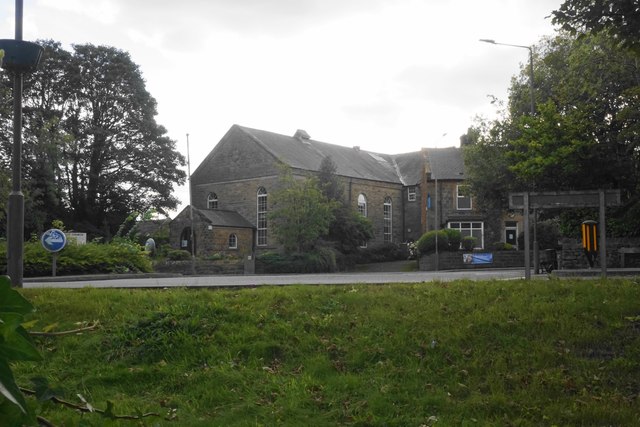
St John the Baptist's Church, Dronfield
St John the Baptist’s Church, Dronfield is a Grade I listed parish church in the Church of England in Dronfield, Derbyshire. == History == The church...
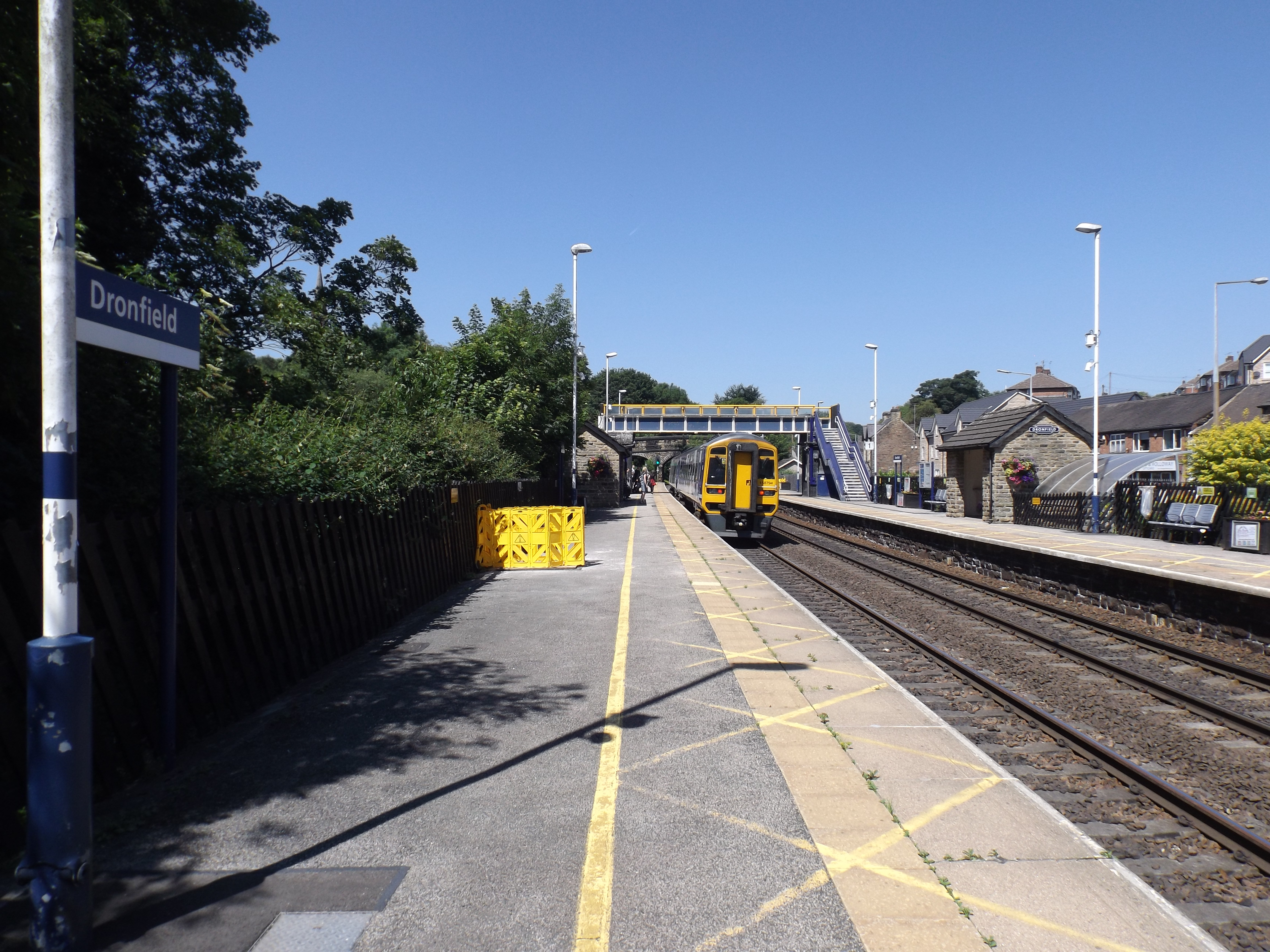
Dronfield railway station
Dronfield railway station serves the town of Dronfield in Derbyshire, England, south of Sheffield, on the Midland Main Line between Chesterfield and Sheffield...

Dronfield Henry Fanshawe School
The Dronfield Henry Fanshawe School is a mixed, state comprehensive school for 11- to 18-year-olds, in the town of Dronfield, Derbyshire, United Kingdom...

Barlow Common
Barlow Common is a village in Derbyshire, England, near Barlow and Chesterfield. It includes the hamlet of Crowhole, which contains several buildings surviving...

Dronfield Urban District
Dronfield was an Urban District in Derbyshire, England from 1894 to 1974. It was created under the Local Government Act 1894. It was enlarged in 1935 when...
Nearby Amenities
Located within 500m of 53.28871,-1.4850014Have you been to Hollins Spring Wood?
Leave your review of Hollins Spring Wood below (or comments, questions and feedback).