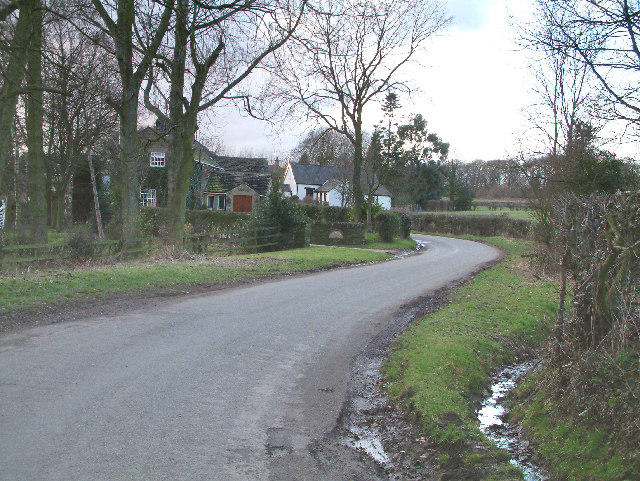
Long Acre Wood
Wood, Forest in Derbyshire North East Derbyshire
England
Long Acre Wood
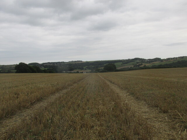
Long Acre Wood is a picturesque woodland located in Derbyshire, England. Stretching across a sprawling area of land, this forest is renowned for its natural beauty and diverse ecosystem. The wood is situated in close proximity to several small villages, making it easily accessible for visitors and nature enthusiasts alike.
Long Acre Wood is predominantly made up of deciduous trees such as oak, beech, and birch, providing a stunning display of vibrant foliage throughout the year. The forest floor is carpeted with a variety of wildflowers, creating a colorful tapestry during the spring and summer months.
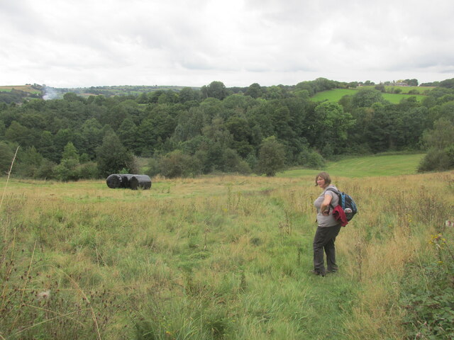
The wood is home to a wide range of plant and animal species, making it a haven for wildlife enthusiasts. Birdwatchers can spot an array of species, including woodpeckers, owls, and various songbirds. Mammals such as foxes, badgers, and deer can also be found roaming the forest, adding to its natural charm.
Visitors to Long Acre Wood can explore numerous walking trails that wind through the forest, offering breathtaking views and opportunities to connect with nature. The peaceful ambiance and fresh air make it an ideal destination for those seeking tranquility and relaxation.
The wood is managed by a local conservation group, ensuring the preservation of its natural habitat and biodiversity. Educational programs and guided tours are often organized to raise awareness about the importance of conservation and to showcase the beauty of this unique woodland.
In conclusion, Long Acre Wood in Derbyshire is a captivating forest that offers visitors a chance to immerse themselves in nature's splendor. With its diverse flora and fauna, tranquil walking trails, and commitment to conservation, it is a must-visit destination for anyone seeking a peaceful retreat in the heart of the English countryside.
If you have any feedback on the listing, please let us know in the comments section below.
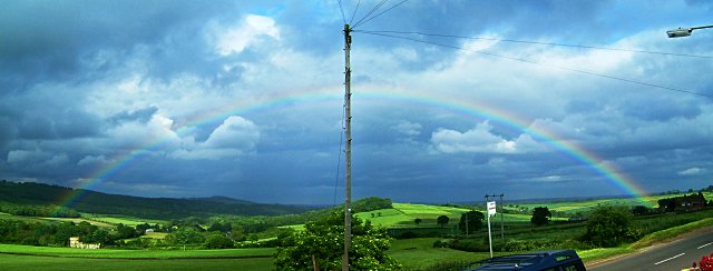
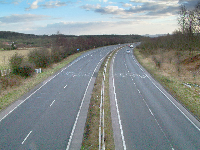
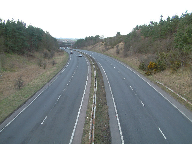
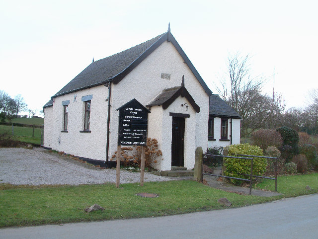
Long Acre Wood Images
Images are sourced within 2km of 53.287649/-1.4765689 or Grid Reference SK3476. Thanks to Geograph Open Source API. All images are credited.


Long Acre Wood is located at Grid Ref: SK3476 (Lat: 53.287649, Lng: -1.4765689)
Administrative County: Derbyshire
District: North East Derbyshire
Police Authority: Derbyshire
What 3 Words
///recipient.ringers.conjured. Near Dronfield, Derbyshire
Nearby Locations
Related Wikis
Cowley, Derbyshire
Cowley is a small dispersed hamlet in North East Derbyshire, consisting of a few private houses and functioning farms strung out along Cowley Lane, which...

Quoit Green
Quoit Green is an area of settlement in Derbyshire, England. It is located in Dronfield, close to the B6057 Chesterfield Road.

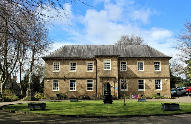
Dronfield Manor
Dronfield Manor is an early 18th-century manor house situated at Dronfield, Derbyshire, which is occupied by the town library. It is a Grade II listed...

St John the Baptist's Church, Dronfield
St John the Baptist’s Church, Dronfield is a Grade I listed parish church in the Church of England in Dronfield, Derbyshire. == History == The church...
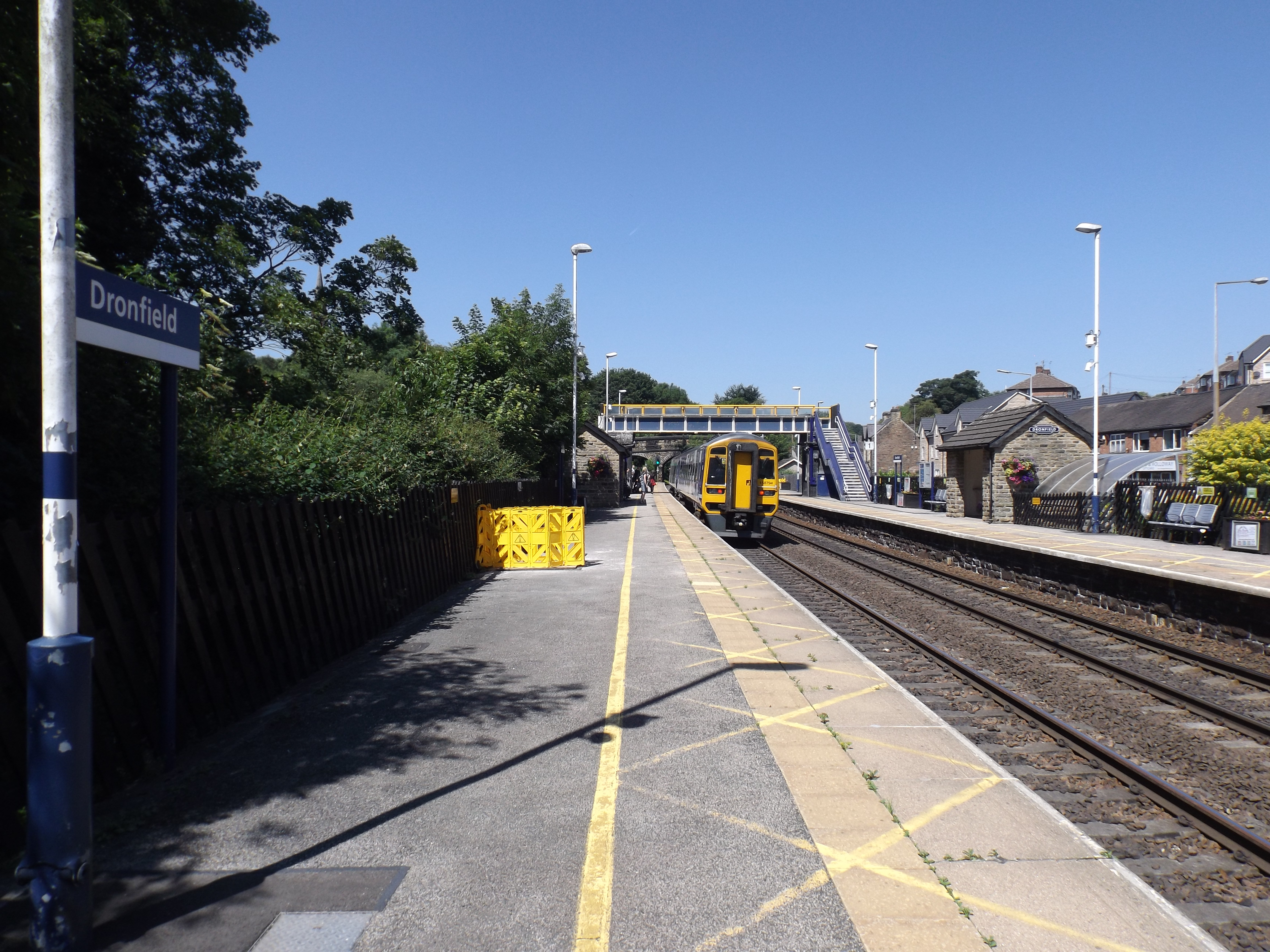
Dronfield railway station
Dronfield railway station serves the town of Dronfield in Derbyshire, England, south of Sheffield, on the Midland Main Line between Chesterfield and Sheffield...

Dronfield Henry Fanshawe School
The Dronfield Henry Fanshawe School is a mixed, state comprehensive school for 11- to 18-year-olds, in the town of Dronfield, Derbyshire, United Kingdom...

Dronfield Urban District
Dronfield was an Urban District in Derbyshire, England from 1894 to 1974. It was created under the Local Government Act 1894. It was enlarged in 1935 when...

Dronfield
Dronfield is a town in North East Derbyshire, England, which includes Dronfield Woodhouse and Coal Aston. It lies in the valley of the River Drone between...
Nearby Amenities
Located within 500m of 53.287649,-1.4765689Have you been to Long Acre Wood?
Leave your review of Long Acre Wood below (or comments, questions and feedback).