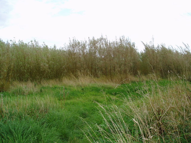
Owl Head Wood
Wood, Forest in Yorkshire Harrogate
England
Owl Head Wood
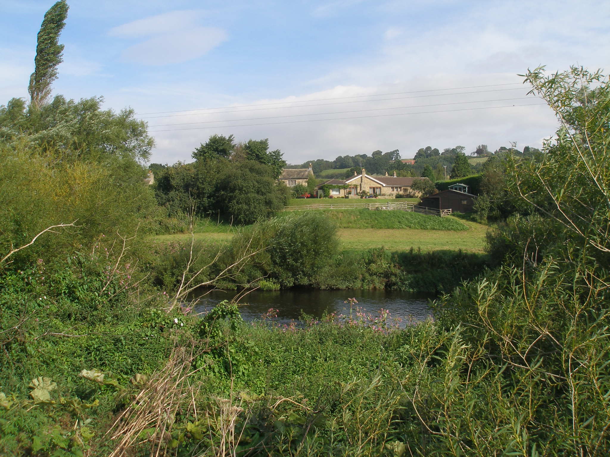
Owl Head Wood is a serene and enchanting woodland located in Yorkshire, England. Nestled within the heart of the Yorkshire Dales, this natural haven covers a sprawling area of approximately 100 acres, making it a perfect destination for nature enthusiasts and outdoor lovers alike.
The wood gets its name from a distinctive rock formation that resembles the head of an owl, providing a unique and memorable feature. The diverse range of tree species that call this woodland home includes oak, beech, and birch, creating a rich tapestry of colors throughout the seasons.
Walking through Owl Head Wood, visitors can immerse themselves in the peaceful ambiance and abundant wildlife. The woodland is home to a variety of birds, including owls, woodpeckers, and songbirds, making it a haven for birdwatchers. Other inhabitants of the forest include squirrels, deer, and rabbits, providing an opportunity for wildlife spotting.
Tranquil walking trails wind their way through Owl Head Wood, allowing visitors to explore its beauty at their own pace. These trails cater to both casual strollers and avid hikers, offering something for everyone. Along the way, one may stumble upon picturesque streams and small waterfalls, adding to the enchantment of the woodland.
Owl Head Wood is not only a place of natural beauty but also holds historical significance. The wood has remnants of ancient settlements, including Iron Age earthworks and Roman remains, adding a layer of intrigue to this already captivating destination.
Overall, Owl Head Wood in Yorkshire is a captivating woodland that offers a tranquil escape amidst nature's wonders. Whether one seeks solace, adventure, or a deeper connection with the natural world, this woodland provides an idyllic setting for all.
If you have any feedback on the listing, please let us know in the comments section below.
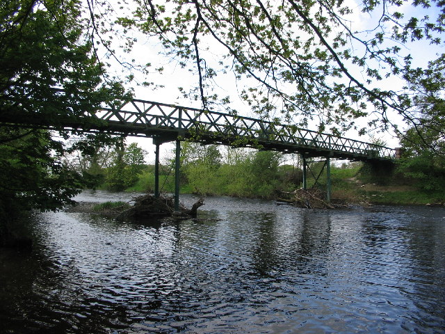
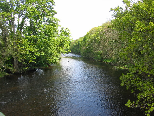
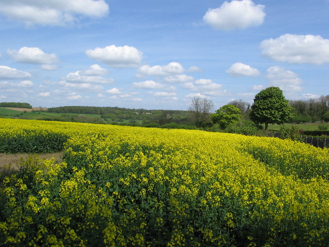
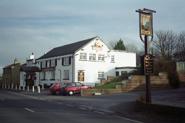
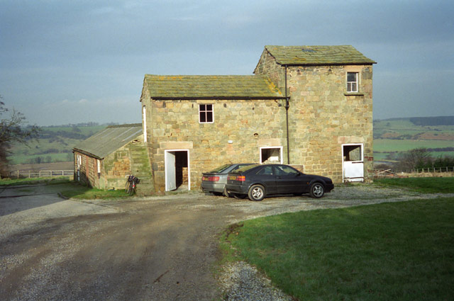
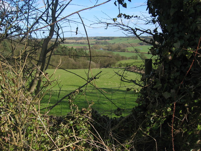
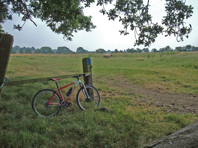
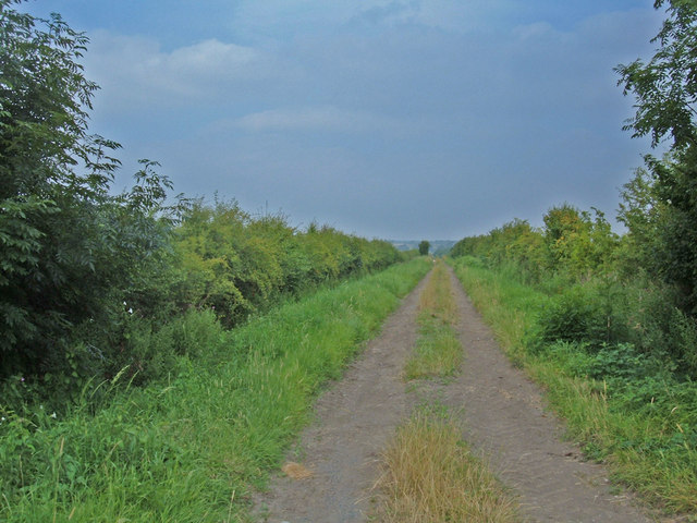
Owl Head Wood Images
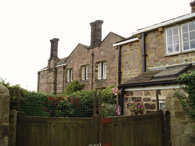
Images are sourced within 2km of 53.915614/-1.4688121 or Grid Reference SE3446. Thanks to Geograph Open Source API. All images are credited.

Owl Head Wood is located at Grid Ref: SE3446 (Lat: 53.915614, Lng: -1.4688121)
Division: West Riding
Administrative County: North Yorkshire
District: Harrogate
Police Authority: North Yorkshire
What 3 Words
///surveyors.arose.pythons. Near East Keswick, West Yorkshire
Nearby Locations
Related Wikis
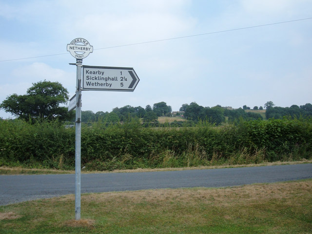
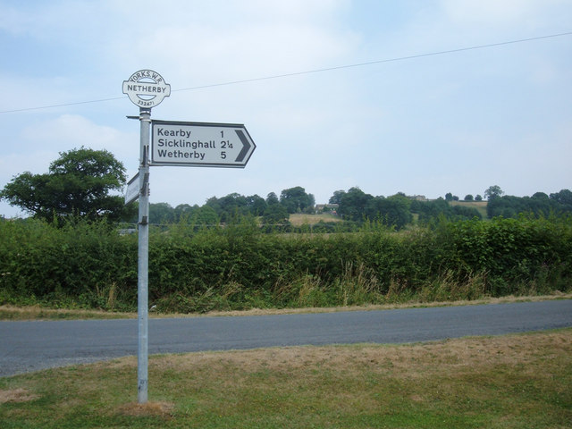
Kearby with Netherby
Kearby with Netherby is a civil parish in North Yorkshire, England. The parish includes the hamlets of Barrowby, Netherby and Kearby Town End. The parish...
Netherby, North Yorkshire
Netherby is a village in the Harrogate district of North Yorkshire, England.

Harewood speed Hillclimb
Harewood speed Hillclimb (the form with italics and a lower-case s is used officially) is a hillclimb near the village of Harewood, West Yorkshire, England...

Wood Hall Hotel and Spa
Wood Hall Hotel and Spa, Trip Lane, is an AA four-star, 44-room country house hotel with an AA two-rosette restaurant, about one mile from the English...

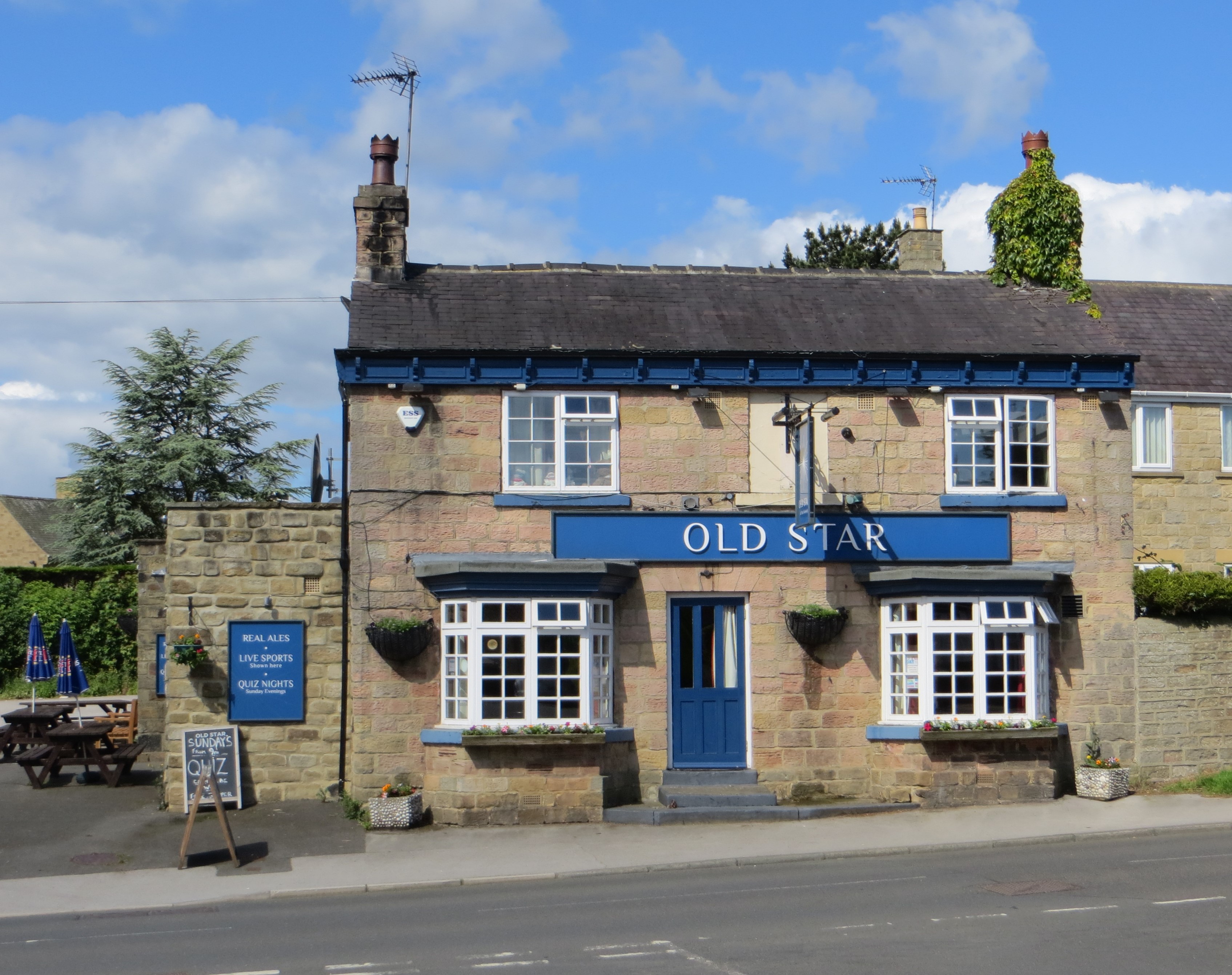
Sicklinghall
Sicklinghall is a village and civil parish in North Yorkshire, England that is situated between the town of Wetherby (3 miles (5 km) to the east) and the...
East Keswick
East Keswick is a village and civil parish in the City of Leeds metropolitan borough, West Yorkshire, England. It lies four miles south west of Wetherby...
Harewood Castle
Harewood Castle is a 14th-century stone hall house and courtyard fortress, located on the Harewood Estate, Harewood, in West Yorkshire, England (Grid Reference...

Knight Air Flight 816
Knight Air Flight 816, being flown by G-OEAA, an Embraer 110 Bandeirante belonging to Knight Air, was an internal (domestic) scheduled flight operating...
Nearby Amenities
Located within 500m of 53.915614,-1.4688121Have you been to Owl Head Wood?
Leave your review of Owl Head Wood below (or comments, questions and feedback).