Chapel Hill
Settlement in Yorkshire Harrogate
England
Chapel Hill
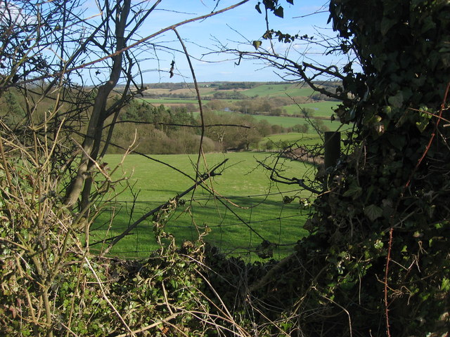
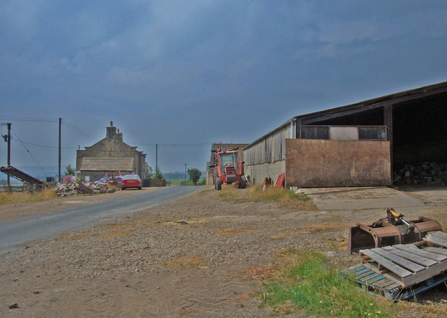
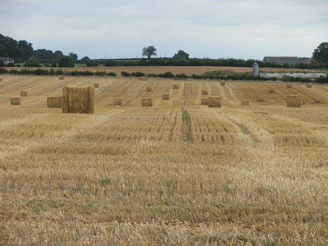
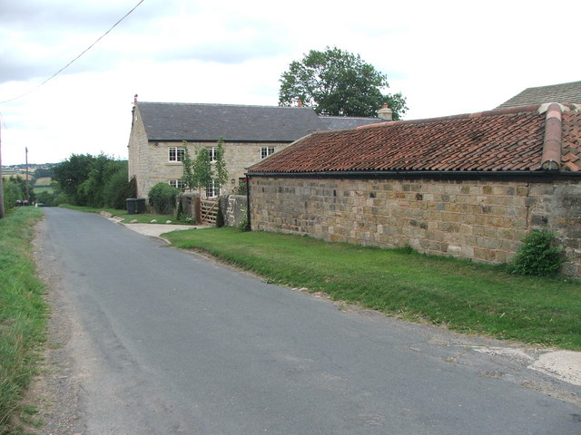
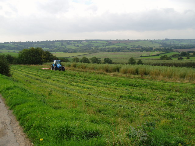
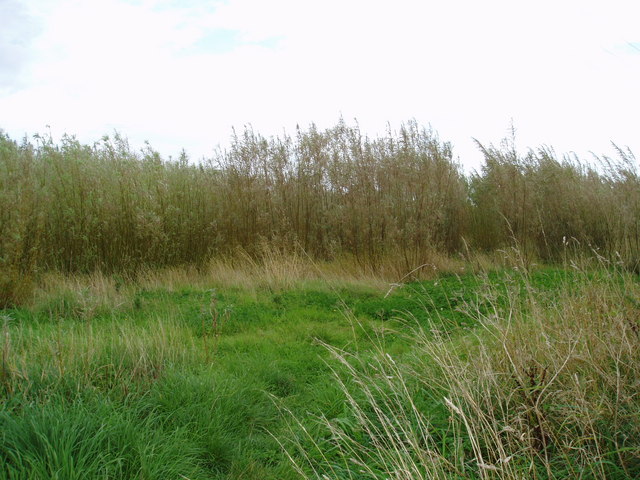
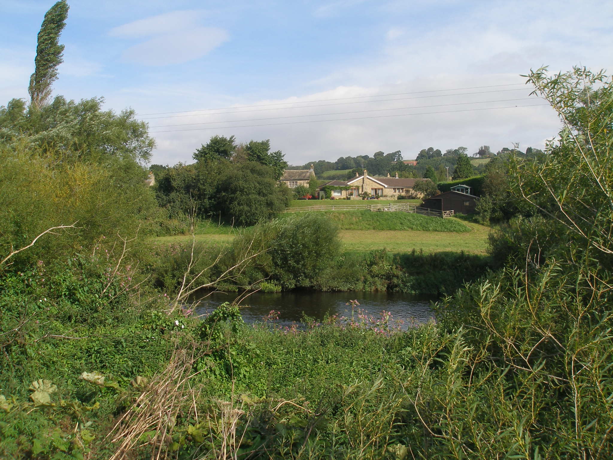
Chapel Hill is a small village located in the Ryedale district of North Yorkshire, England. Situated just 5 miles east of the market town of Pickering, Chapel Hill is nestled within the scenic landscape of the North York Moors National Park. The village is surrounded by rolling hills, idyllic countryside, and charming woodlands, making it an ideal destination for nature enthusiasts and outdoor lovers.
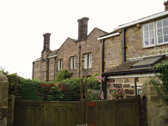
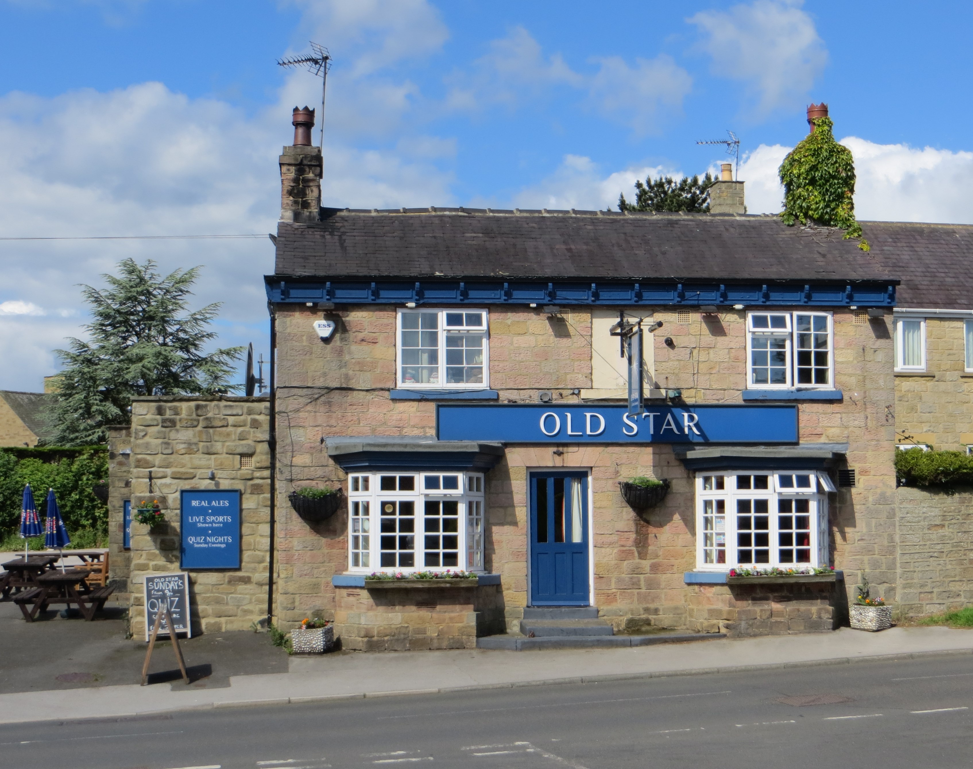
Chapel Hill is known for its picturesque setting and tranquil atmosphere, offering a peaceful retreat away from the hustle and bustle of city life. The village is home to a close-knit community, with a population of approximately 200 residents. The quaint village center features a handful of traditional stone houses, a historic church, and a local pub, which serves as a social hub for both residents and visitors.
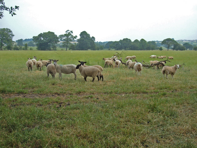
Nature walks and hiking trails abound in Chapel Hill, offering breathtaking views of the surrounding moorland and the opportunity to spot local wildlife, such as deer and various bird species. The village also benefits from its proximity to attractions like the stunning North Yorkshire coastline, the famous steam railway in Pickering, and the historic castle in nearby Helmsley.
Overall, Chapel Hill offers a peaceful and picturesque retreat in the heart of the North York Moors, with its natural beauty, friendly community, and easy access to nearby attractions making it an appealing destination for visitors looking to explore the charm of rural Yorkshire.
If you have any feedback on the listing, please let us know in the comments section below.
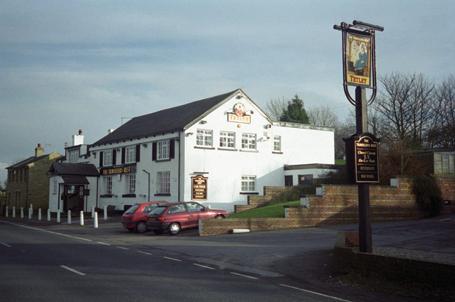
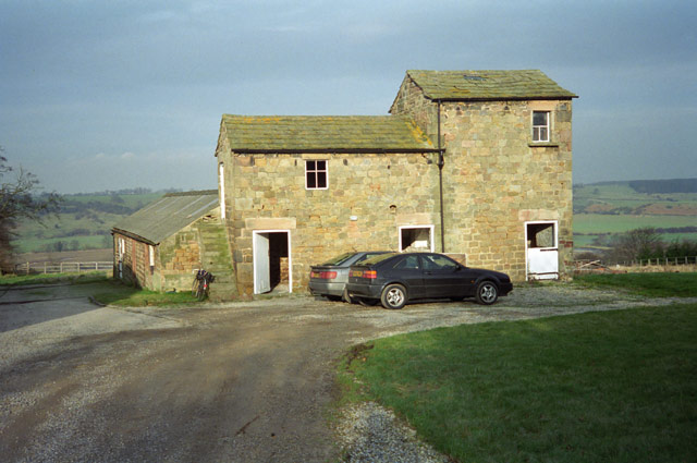
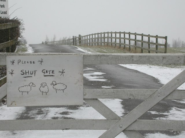
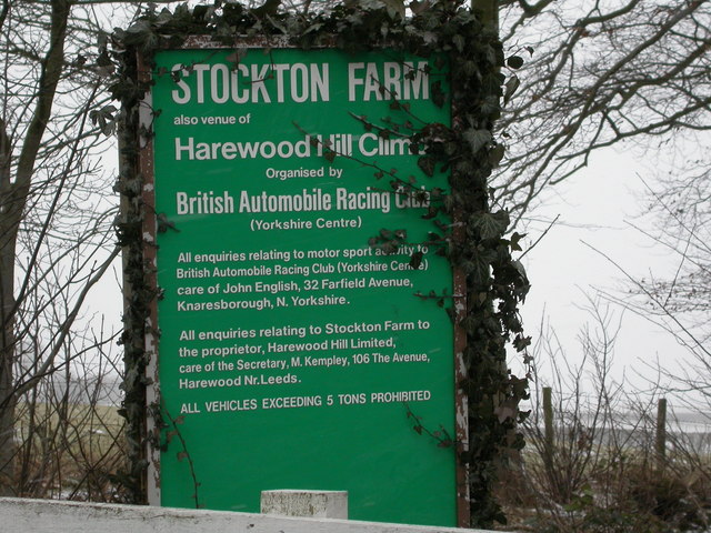
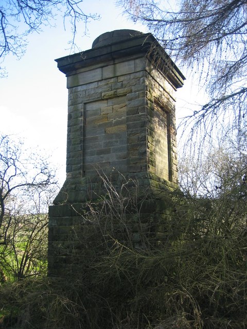
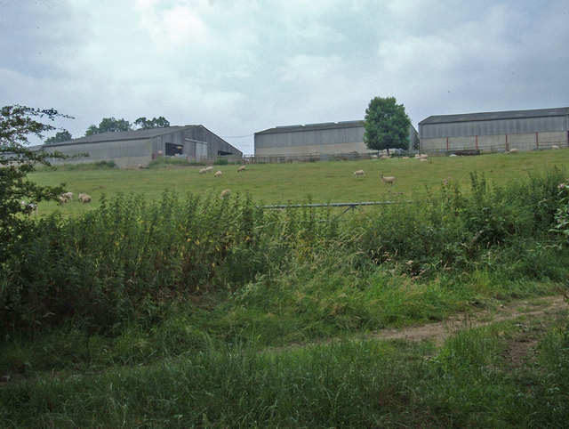
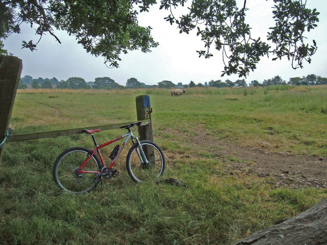
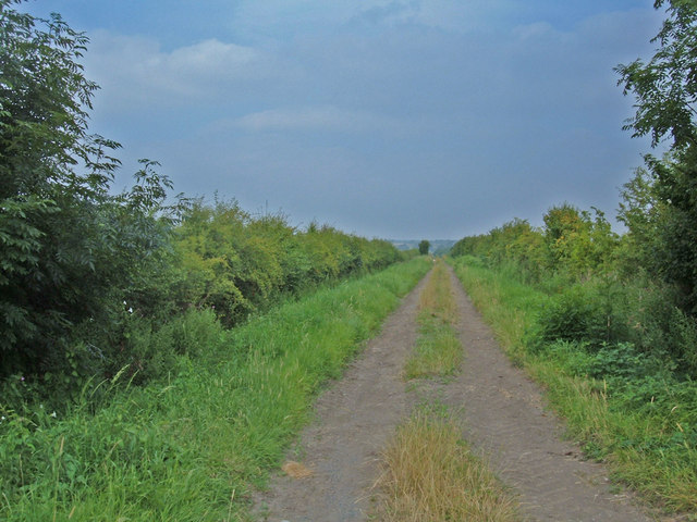
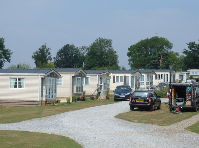
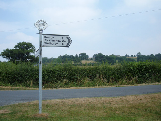
Chapel Hill Images
Images are sourced within 2km of 53.91466/-1.4829371 or Grid Reference SE3446. Thanks to Geograph Open Source API. All images are credited.
Chapel Hill is located at Grid Ref: SE3446 (Lat: 53.91466, Lng: -1.4829371)
Division: West Riding
Administrative County: North Yorkshire
District: Harrogate
Police Authority: North Yorkshire
What 3 Words
///targeted.stretch.according. Near East Keswick, West Yorkshire
Nearby Locations
Related Wikis
Netherby, North Yorkshire
Netherby is a village in the Harrogate district of North Yorkshire, England.
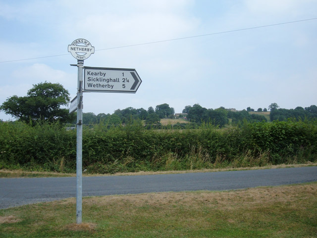
Kearby with Netherby
Kearby with Netherby is a civil parish in North Yorkshire, England. The parish includes the hamlets of Barrowby, Netherby and Kearby Town End. The parish...

Harewood speed Hillclimb
Harewood speed Hillclimb (the form with italics and a lower-case s is used officially) is a hillclimb near the village of Harewood, West Yorkshire, England...
Harewood Castle
Harewood Castle is a 14th-century stone hall house and courtyard fortress, located on the Harewood Estate, Harewood, in West Yorkshire, England (Grid Reference...

Knight Air Flight 816
Knight Air Flight 816, being flown by G-OEAA, an Embraer 110 Bandeirante belonging to Knight Air, was an internal (domestic) scheduled flight operating...

Harewood, West Yorkshire
Harewood ( HAIR-wuud) is a village, civil parish, former manor and ecclesiastical parish, in West Yorkshire, England, today in the metropolitan borough...
East Keswick
East Keswick is a village and civil parish in the City of Leeds metropolitan borough, West Yorkshire, England. It lies four miles south west of Wetherby...

Wood Hall Hotel and Spa
Wood Hall Hotel and Spa, Trip Lane, is an AA four-star, 44-room country house hotel with an AA two-rosette restaurant, about one mile from the English...
Nearby Amenities
Located within 500m of 53.91466,-1.4829371Have you been to Chapel Hill?
Leave your review of Chapel Hill below (or comments, questions and feedback).