Scronkey
Settlement in Lancashire Wyre
England
Scronkey
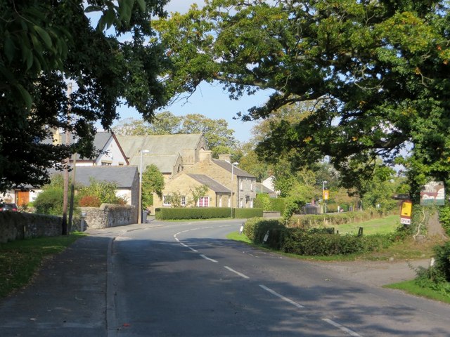
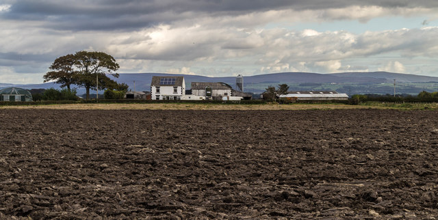
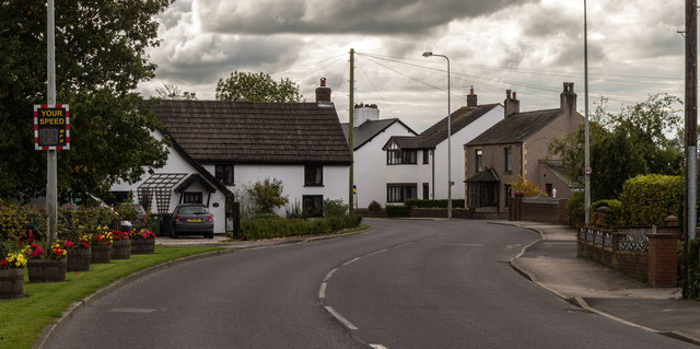
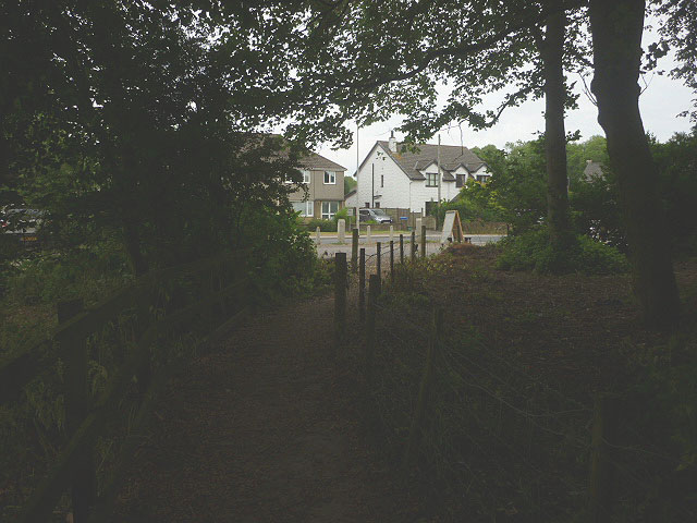
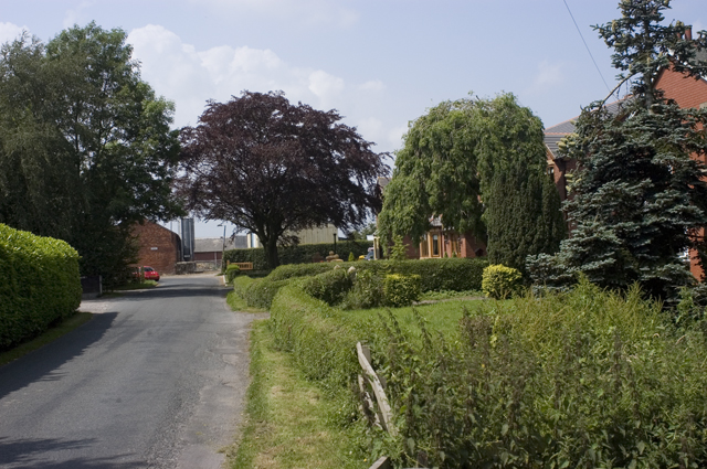
Scronkey is a small village located in the county of Lancashire, England. Situated in the rural countryside, it is nestled between rolling hills and lush green fields. With a population of approximately 500 residents, Scronkey maintains a close-knit community atmosphere.
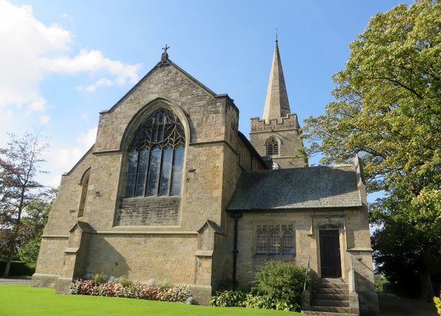
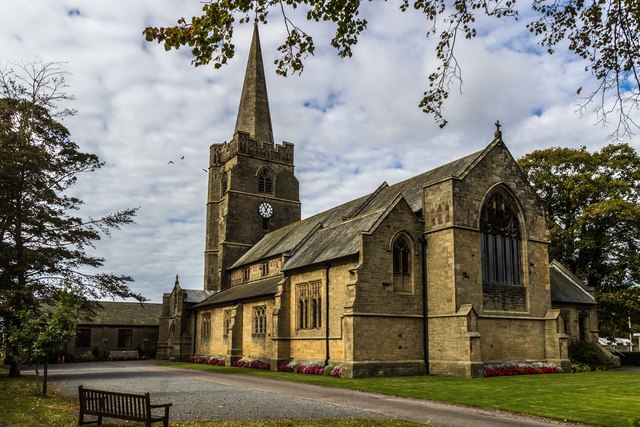
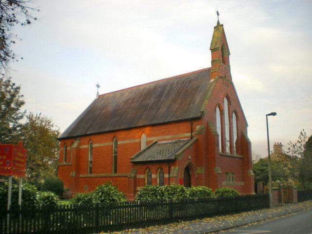
The village dates back to the medieval era, and its rich history is evident through its well-preserved architecture. The centerpiece of Scronkey is the St. Mary's Church, a beautiful 13th-century structure that stands proudly at the heart of the village. The church's stunning stained glass windows and intricate stonework draw visitors from near and far.
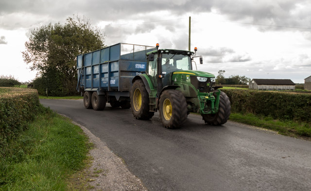
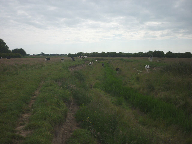
Scronkey is surrounded by natural beauty, making it a popular destination for nature enthusiasts. The nearby Scronkey Nature Reserve offers picturesque walking trails that wind through woodlands and alongside a tranquil river. The reserve is home to a diverse range of wildlife, including rare bird species and indigenous flora.
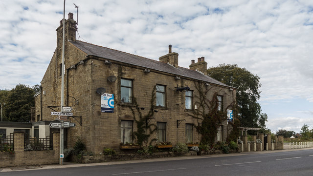
Despite its small size, Scronkey boasts a few amenities for its residents. The village has a local pub, The Scronkey Arms, which serves as a gathering place for locals to unwind and socialize. Additionally, there is a small convenience store that caters to the daily needs of the community.
Scronkey also hosts several annual events that bring the community together. The Scronkey Village Fair, held in the summer, features traditional games, live music, and local food stalls. This event highlights the village's strong sense of community and provides an opportunity for residents to celebrate their shared heritage.
In conclusion, Scronkey is a charming village in Lancashire with a rich history, natural beauty, and a close-knit community. It offers a peaceful retreat for those seeking a rural escape while still providing the necessary amenities for its residents.
If you have any feedback on the listing, please let us know in the comments section below.
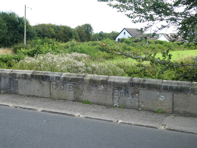
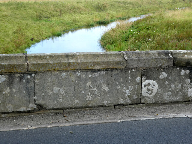
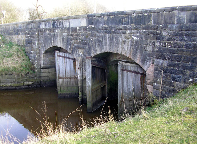
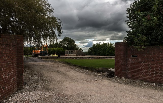
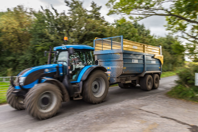
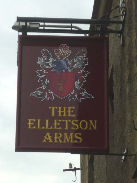
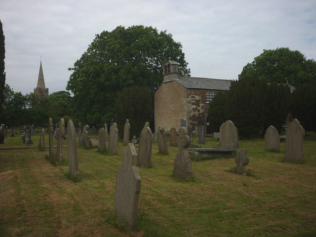
Scronkey Images
Images are sourced within 2km of 53.916676/-2.899021 or Grid Reference SD4147. Thanks to Geograph Open Source API. All images are credited.
Scronkey is located at Grid Ref: SD4147 (Lat: 53.916676, Lng: -2.899021)
Administrative County: Lancashire
District: Wyre
Police Authority: Lancashire
What 3 Words
///plantings.deduct.spiking. Near Preesall, Lancashire
Nearby Locations
Related Wikis
Scronkey
Scronkey is a small rural hamlet in the county of Lancashire, England. It is in the Over Wyre region of the Fylde, west of Garstang near Pilling. The combined...

Pilling railway station
Pilling railway station served the villages of Pilling and Stake Pool in Lancashire, England. == Under the Garstang and Knot-End Railway == The station...

Carr Lane railway station
Carr Lane railway station, also known as Carr Lane Halt railway station, served the village of Pilling, in Lancashire, England, on the Garstang and Knot...
Garstang Road Halt railway station
Garstang Road railway station served the hamlet of Stake Pool, Lancashire, England, from 1923 to 1930 on the Knott End branch of the London, Midland and...
Stake Pool
Stake Pool (also written as Stakepool) is a small rural hamlet in the county of Lancashire, England. It is on the Over Wyre region of the Fylde coast...

Pilling
Pilling is a village and civil parish within the Wyre borough of Lancashire, England. It is 6.5 miles (10.5 km) north-northeast of Poulton-le-Fylde, 9...

The Olde Ship
The Olde Ship is an historic building in Pilling, Lancashire, England. It was built in 1782 for sea captain and slave trader George Dickinson (1732–1806...

Old St John the Baptist's Church, Pilling
Old St John the Baptist's Church is a redundant Anglican church in the village of Pilling, Lancashire, England. It stands 160 yards (150 m) to the south...
Nearby Amenities
Located within 500m of 53.916676,-2.899021Have you been to Scronkey?
Leave your review of Scronkey below (or comments, questions and feedback).