Scrooby
Settlement in Nottinghamshire Bassetlaw
England
Scrooby
Scrooby is a small village located in the county of Nottinghamshire, England. It is situated approximately 30 miles north of Nottingham and 8 miles west of Retford. The village is part of the Bassetlaw district and falls within the civil parish of Scrooby.
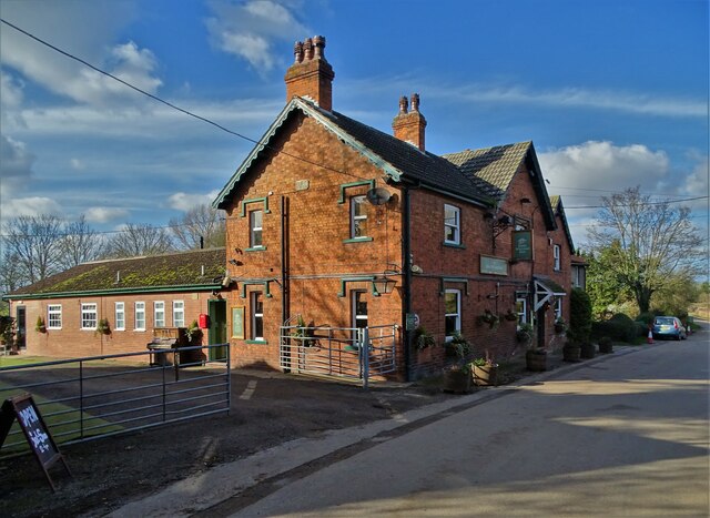
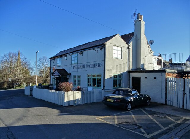
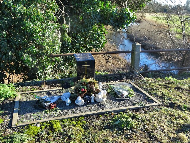
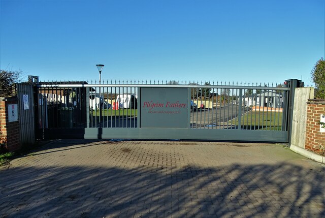
Historically, Scrooby played an important role in the development of the Pilgrim Fathers. In the early 17th century, a group of Separatists, who were seeking religious freedom, held clandestine meetings in Scrooby Manor. These meetings eventually led to their migration to the Netherlands and later, the founding of Plymouth Colony in North America. Scrooby Manor, unfortunately, no longer stands, but its significance is commemorated by a plaque in the village.
Present-day Scrooby is a picturesque village with a population of around 200 residents. It is known for its tranquil atmosphere, charming cottages, and scenic countryside. The village features a mixture of architectural styles, including traditional English cottages and Georgian houses.
Despite its small size, Scrooby offers some amenities to its residents and visitors. These include a village hall, a church, a pub, and a primary school. The village also hosts various community events throughout the year, such as summer fairs and Christmas celebrations, which foster a strong sense of community spirit.
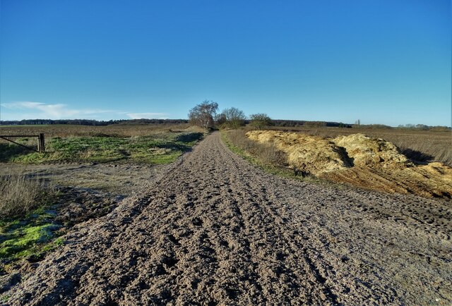
Scrooby's location in the heart of the Nottinghamshire countryside makes it an ideal destination for nature lovers and those seeking peaceful surroundings. The village is surrounded by rolling farmland, providing ample opportunities for countryside walks and exploration.
In summary, Scrooby is a charming village in Nottinghamshire that holds historical significance as the birthplace of the Pilgrim Fathers. With its picturesque setting and close-knit community, it offers a peaceful retreat for residents and visitors alike.
If you have any feedback on the listing, please let us know in the comments section below.
Scrooby Images
Images are sourced within 2km of 53.409779/-1.020004 or Grid Reference SK6590. Thanks to Geograph Open Source API. All images are credited.


Scrooby is located at Grid Ref: SK6590 (Lat: 53.409779, Lng: -1.020004)
Administrative County: Nottinghamshire
District: Bassetlaw
Police Authority: Nottinghamshire
What 3 Words
///armed.acted.scripted. Near Bircotes, Nottinghamshire
Related Wikis
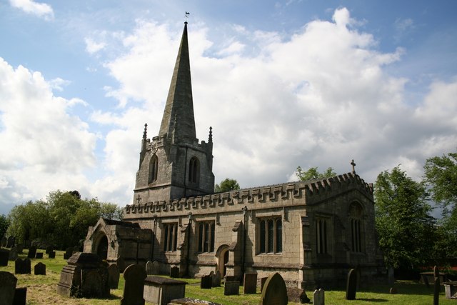
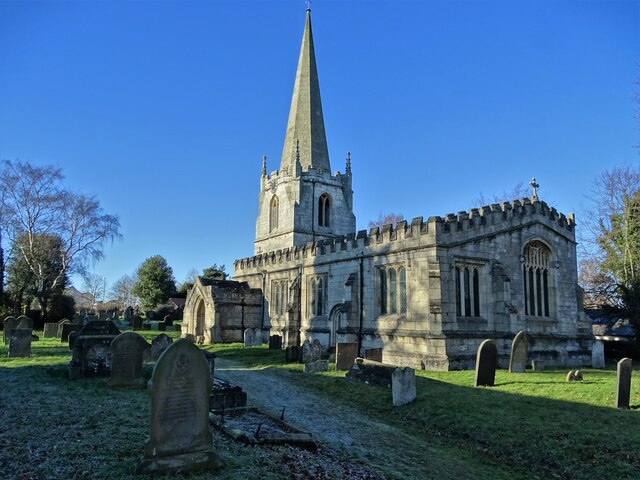
St Wilfrid's Church, Scrooby
St Wilfrid's Church, Scrooby is a Grade II* listed parish church in the Church of England in Scrooby. == History == The church was built in the 15th century...
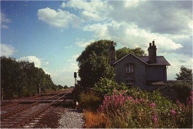
Scrooby railway station
Scrooby was a railway station on the Great Northern Railway running between Retford and Doncaster. The station served the small village of Scrooby until...
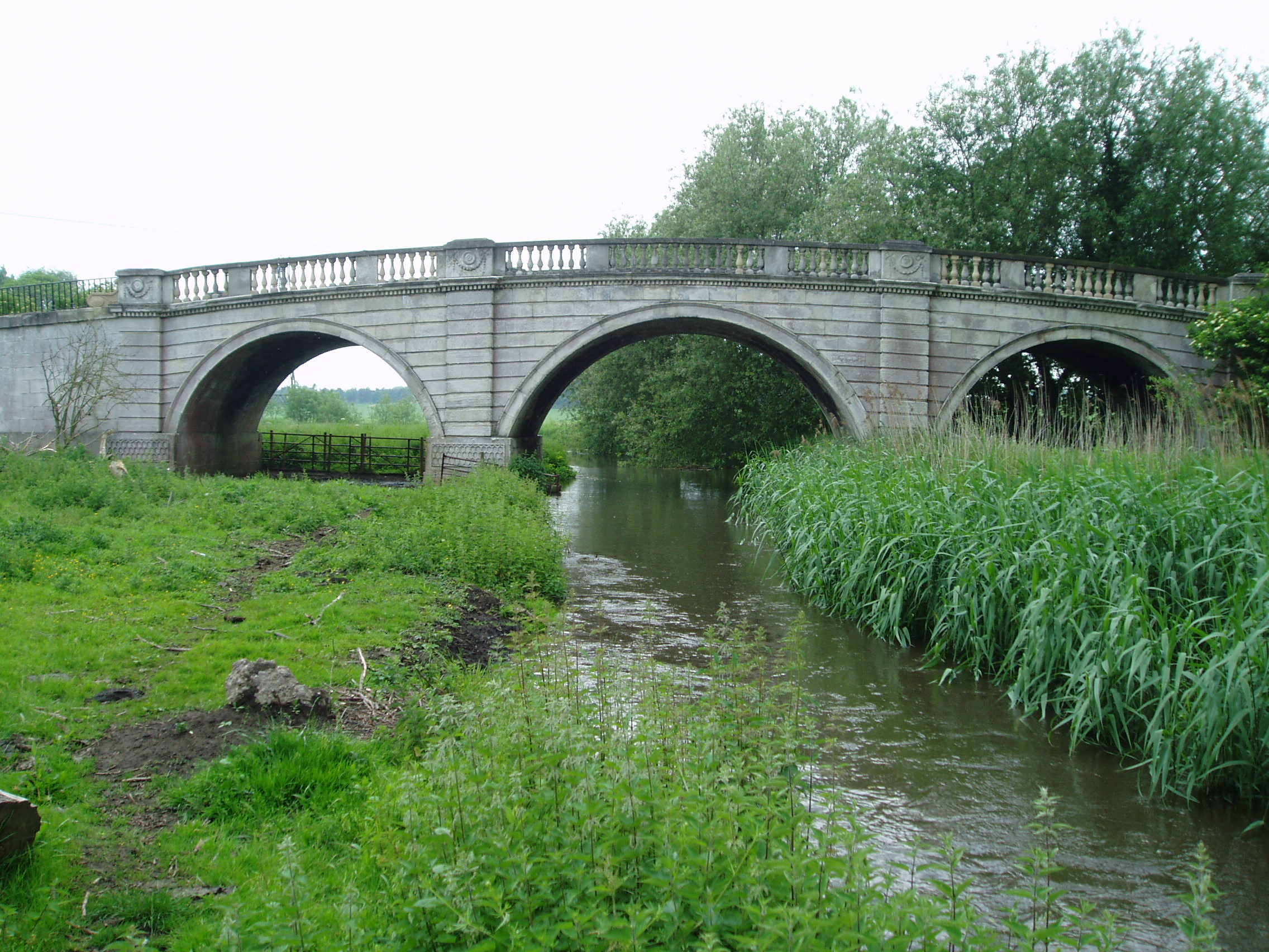
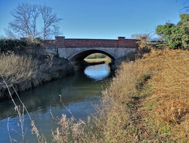
River Ryton
The River Ryton is a tributary of the River Idle. It rises close to the Chesterfield Canal near Kiveton Park, and is joined by a series of tributaries...
Scaftworth
Scaftworth is a hamlet and civil parish within the Bassetlaw district of north Nottinghamshire, England. == Geography == The area is 1 mile south east...
Nearby Amenities
Located within 500m of 53.409779,-1.020004Have you been to Scrooby?
Leave your review of Scrooby below (or comments, questions and feedback).