Stake Pool

Settlement in Lancashire Wyre

England

Stake Pool

Tide Gates Tide gates on Broadfleet Bridge. They are supposed to close when the water is running upstream and open to let it out. They look very old and dilapidated, though.
Tide Gates Credit: Phil Johnstone

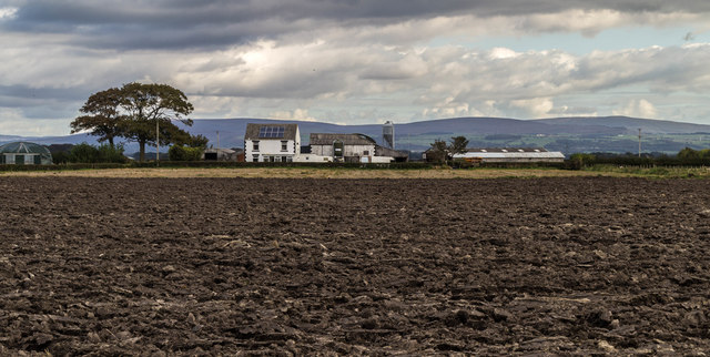
Stake Pool is a small village located in the county of Lancashire, England. Situated in the North West of England, Lancashire is known for its rich history, beautiful landscapes, and strong industrial heritage. Stake Pool is a part of this diverse region and offers a tranquil and picturesque setting for its residents and visitors.

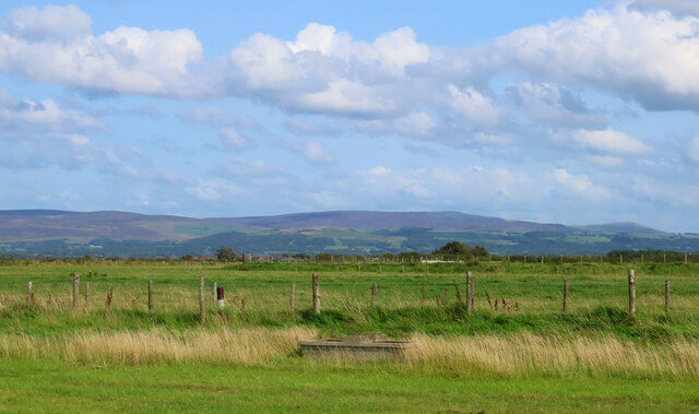
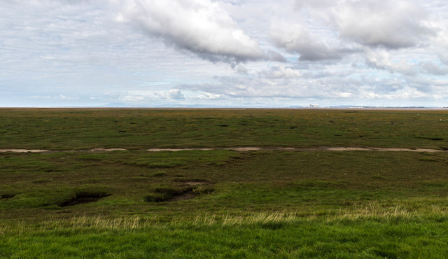
The village is situated near the Forest of Bowland, an Area of Outstanding Natural Beauty, which attracts outdoor enthusiasts and nature lovers. The surrounding countryside boasts rolling hills, lush green fields, and scenic walking trails, making it an ideal location for those seeking a peaceful retreat.

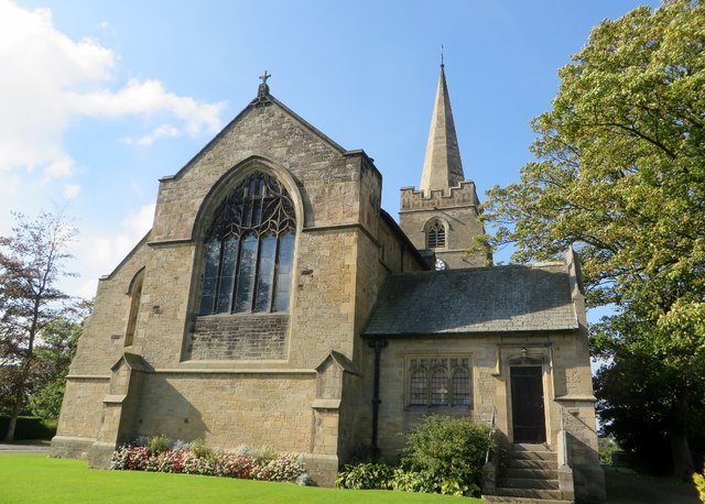
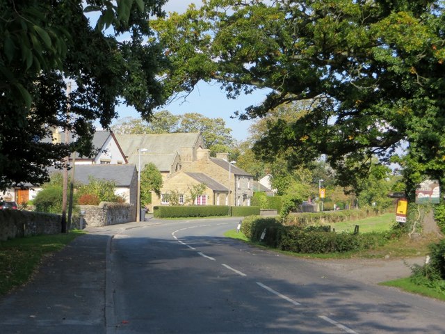
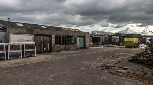
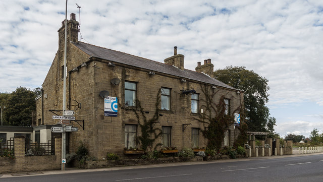
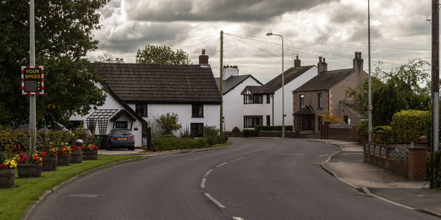
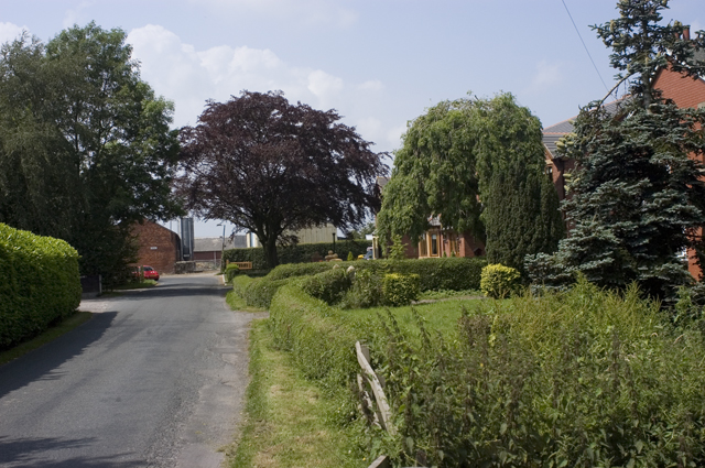
Stake Pool itself is a quaint and close-knit community, characterized by traditional stone cottages and charming country lanes. The village has a small but welcoming population, and residents enjoy a strong sense of community spirit. Local amenities include a village hall, a pub, and a primary school, providing necessary facilities for the residents.

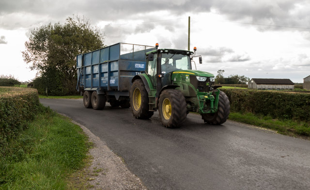
The village is well-connected to the larger towns and cities in Lancashire, with good transport links and access to nearby motorways. This allows residents of Stake Pool to easily commute to neighboring urban areas for work or leisure activities.

Overall, Stake Pool offers a rural idyll in the heart of Lancashire, allowing residents to enjoy the beauty of the surrounding countryside while still being within reach of modern amenities and conveniences.

If you have any feedback on the listing, please let us know in the comments section below.
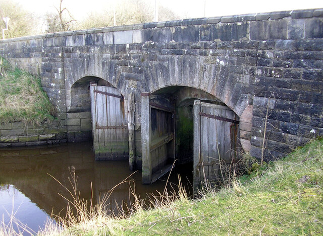
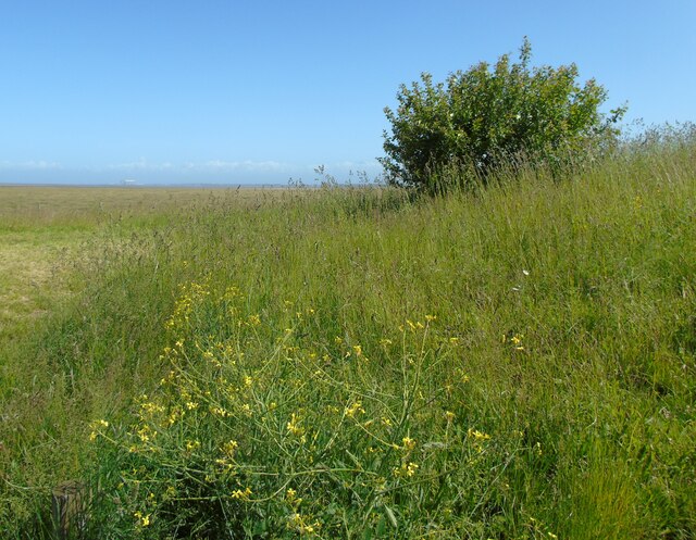
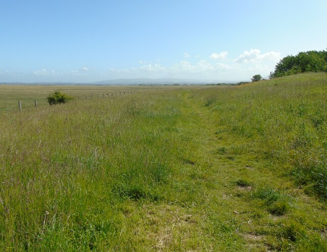
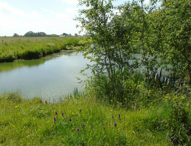
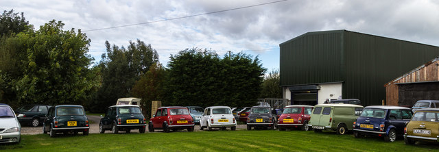
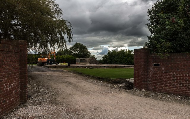
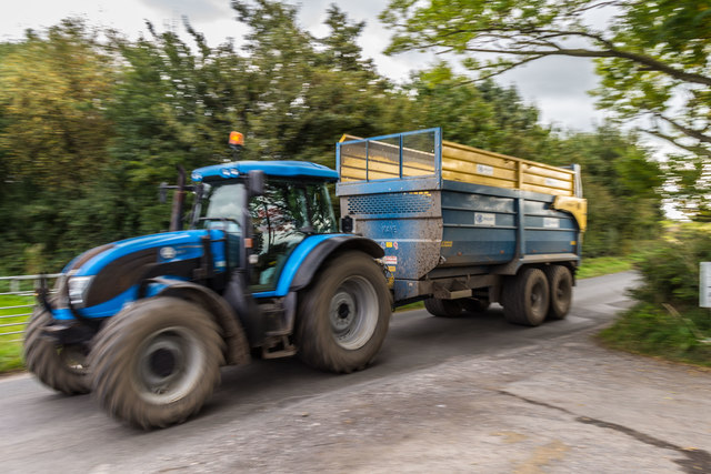
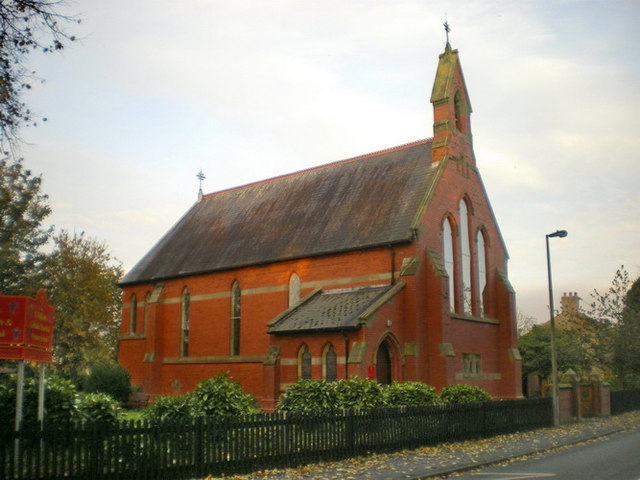
Stake Pool Images

Images are sourced within 2km of 53.923567/-2.8943048 or Grid Reference SD4147. Thanks to Geograph Open Source API. All images are credited.

Tide Gates Tide gates on Broadfleet Bridge. They are supposed to close when the water is running upstream and open to let it out. They look very old and dilapidated, though.
Tide Gates
Tide gates on Broadfleet Bridge. They are supposed to close when the water is running upstream and open to let it out. They look very old and dilapidated, though.
Cockerham Sands I am at the Lane Ends Amenity Area near Pilling, Lancashire, and looking out across Cockerham Sands and the Lune estuary. The power stations at Heysham can be seen to the left of shot. The area is rich with wild flowers in early summer: the flowering shrub in the foreground is sea radish.
Cockerham Sands
I am at the Lane Ends Amenity Area near Pilling, Lancashire, and looking out across Cockerham Sands and the Lune estuary. The power stations at Heysham can be seen to the left of shot. The area is rich with wild flowers in early summer: the flowering shrub in the foreground is sea radish.
Viewing point at Lane Ends This is the viewing point at Lane Ends Amenity Area near Pilling, Lancashire, and I am looking north east towards Cockerham. The fells of the Forest of Bowland can be glimpsed in the distance.
Viewing point at Lane Ends
This is the viewing point at Lane Ends Amenity Area near Pilling, Lancashire, and I am looking north east towards Cockerham. The fells of the Forest of Bowland can be glimpsed in the distance.
East pond, Lane Ends Amenity Area I am at the top of the east pond in the Lane Ends Amenity Area near Pilling, Lancashire. There were moorhens with chicks and swans with cygnets on the water and in the reeds on this day and the area was in full early summer flower as can be seen here.
East pond, Lane Ends Amenity Area
I am at the top of the east pond in the Lane Ends Amenity Area near Pilling, Lancashire. There were moorhens with chicks and swans with cygnets on the water and in the reeds on this day and the area was in full early summer flower as can be seen here.
Bleasdale Moors Taken at the little car park beside the A588 at the Pilling Amenity Area, Over Wyre, Lancashire,  I am looking east towards the Bleasdale Moors which, in this shot, are tinged purple by the heather in bloom.
Bleasdale Moors
Taken at the little car park beside the A588 at the Pilling Amenity Area, Over Wyre, Lancashire, I am looking east towards the Bleasdale Moors which, in this shot, are tinged purple by the heather in bloom.
St. John the Baptist church Church of England parish church in Pilling.
St. John the Baptist church
Church of England parish church in Pilling.
School Lane, Pilling A Lancashire village close to the coast.
School Lane, Pilling
A Lancashire village close to the coast.
Bankfield Tractor and trailer on Lancaster Road at Bankfield.
Bankfield
Tractor and trailer on Lancaster Road at Bankfield.
Bradshaw Lane Farm
Bradshaw Lane Farm
Nurseries Disused nurseries.
Nurseries
Disused nurseries.
St John the Baptist Church St John the Baptist Church at Pilling.
St John the Baptist Church
St John the Baptist Church at Pilling.
Pilling Marsh Works near Pilling Marsh.
Pilling Marsh
Works near Pilling Marsh.
Elletson Arms The disused Elletson Arms public house.
Elletson Arms
The disused Elletson Arms public house.
Lancaster Road Lancaster Road at Fishers Row.
Lancaster Road
Lancaster Road at Fishers Row.
Pilling Sands View looking out across Pilling Sands from the Lane Ends car park.
Pilling Sands
View looking out across Pilling Sands from the Lane Ends car park.
House House either being demolished or built (or both).
House
House either being demolished or built (or both).
Bradshaw Lane Tractor at speed on Bradshaw Lane.
Bradshaw Lane
Tractor at speed on Bradshaw Lane.
Show me another place!

Stake Pool is located at Grid Ref: SD4147 (Lat: 53.923567, Lng: -2.8943048)

Administrative County: Lancashire

District: Wyre

Police Authority: Lancashire

What 3 Words

///finger.regularly.gender. Near Preesall, Lancashire

Related Wikis

Pilling railway station

Pilling railway station served the villages of Pilling and Stake Pool in Lancashire, England. == Under the Garstang and Knot-End Railway == The station...

Stake Pool

Stake Pool (also written as Stakepool) is a small rural hamlet in the county of Lancashire, England. It is on the Over Wyre region of the Fylde coast...

Scronkey

Scronkey is a small rural hamlet in the county of Lancashire, England. It is in the Over Wyre region of the Fylde, west of Garstang near Pilling. The combined...

Pilling

Pilling is a village and civil parish within the Wyre borough of Lancashire, England. It is 6.5 miles (10.5 km) north-northeast of Poulton-le-Fylde, 9...

Nearby Amenities

Located within 500m of 53.923567,-2.8943048
Scronkey
Place: hamlet
Source: npe and gazetteer
Lat/Long: 53.9204505/-2.8983071
Note: site of Pilling railway station - npe
Lat/Long: 53.9223211/-2.8936182
Stake Pool
Place: hamlet
Source: npe
Lat/Long: 53.9249121/-2.893236
Ellletson Arms
Bus: yes
Naptan AtcoCode: 2500LAA00435
Naptan Bearing: S
Naptan CommonName: Ellletson Arms
Naptan Indicator: opp
Naptan Landmark: ELLETSON ARMS
Naptan LocalityCode: E0016598
Naptan NaptanCode: langwdwg
Naptan Street: Lancaster Road
Naptan Verified: no
Public Transport: stop_position
Ref: langwdwg
Lat/Long: 53.9241135/-2.8955244
Post Office
Stakepool Post Office
Addr City: Preston
Addr Country: GB
Addr Postcode: PR3 6AH
Addr Suburb: Pilling
Brand: Post Office
Brand Wikidata: Q1783168
Contact Website: https://www.postoffice.co.uk/branch-finder/2384272/stakepool
Ref Pol Id: 9262
Lat/Long: 53.9235346/-2.8954768
Pub
Elletsons Arms
Addr City: Preston
Addr Country: GB
Addr Postcode: PR3 6AH
Addr Suburb: Pilling
Fhrs Id: 958867
Lat/Long: 53.9238899/-2.8957719
Elletsons Arms
Bus: yes
Naptan AtcoCode: 25001760
Naptan Bearing: NE
Naptan CommonName: Elletsons Arms
Naptan Indicator: o/s
Naptan Landmark: Elletsons Arms
Naptan LocalityCode: E0016598
Naptan NaptanCode: lanatgaj
Naptan Street: Lancaster Road
Naptan Verified: no
Public Transport: stop_position
Ref: lanatgaj
Lat/Long: 53.9237652/-2.8956096
Turning Circle
Lat/Long: 53.9232911/-2.8944311
Turning Circle
Lat/Long: 53.9231955/-2.8944983
Give Way
Direction: backward
Lat/Long: 53.9224562/-2.8889988
Give Way
Direction: forward
Lat/Long: 53.9231637/-2.8956675
Crossing
Crossing: unmarked
Crossing Island: no
Crossing Markings: no
Tactile Paving: yes
Lat/Long: 53.9231703/-2.8956078
The data included in this document is from www.openstreetmap.org. The data is made available under ODbL.

Have you been to Stake Pool?

Leave your review of Stake Pool below (or comments, questions and feedback).