Stakes
Settlement in Hampshire Havant
England
Stakes

Stakes is a small village located in the county of Hampshire, in the southern part of England. Situated approximately 6 miles north of the city of Winchester, Stakes is a rural settlement surrounded by picturesque countryside and rolling hills. The village is part of the civil parish of Micheldever, and it falls under the Winchester district.
Stakes is a relatively quiet and peaceful village, with a population of around 300 residents. It is primarily a residential area, characterized by charming cottages and traditional houses, giving it a quintessential English village feel. The village is known for its tight-knit community and friendly atmosphere.
Despite its small size, Stakes offers some amenities to its residents. These include a local pub, providing a social gathering spot for villagers, and a village hall that serves as a venue for community events and activities. The village is also surrounded by beautiful countryside, offering opportunities for outdoor activities such as walking, hiking, and cycling.
Stakes is conveniently located near the A303 road, providing easy access to nearby towns and cities. The village also benefits from its proximity to Winchester, a historic city with a range of amenities, including shops, restaurants, and cultural attractions.
Overall, Stakes offers a tranquil and idyllic setting, making it an attractive place to live for those seeking a peaceful village lifestyle within easy reach of larger towns and cities.
If you have any feedback on the listing, please let us know in the comments section below.
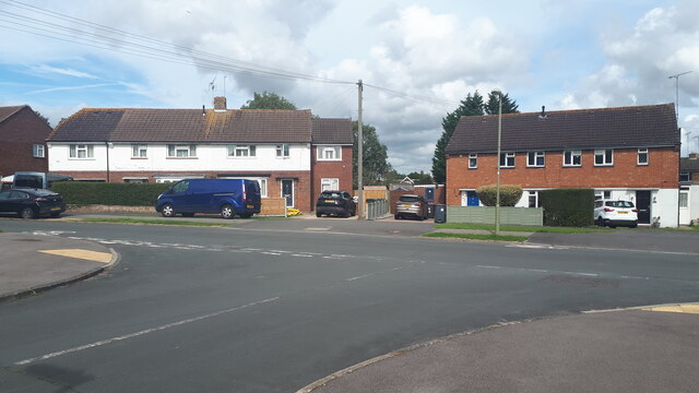
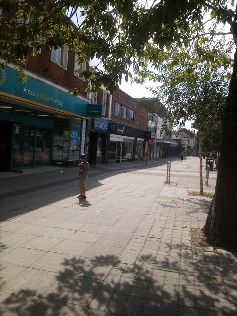
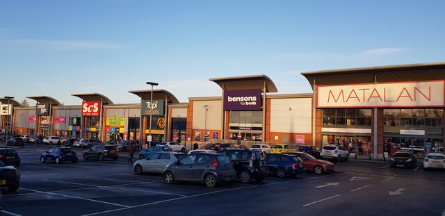
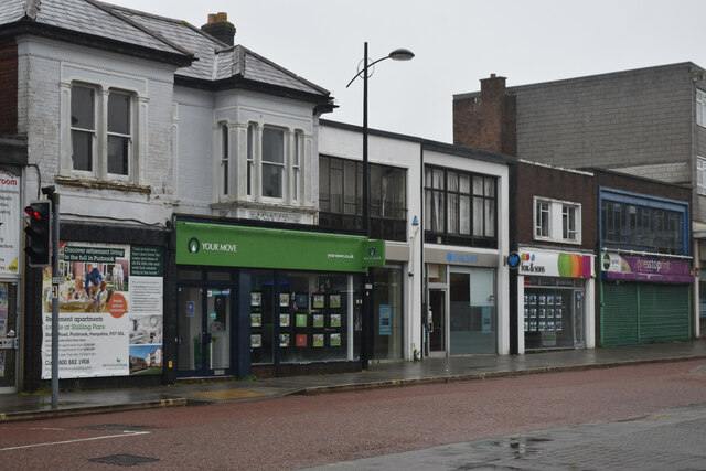
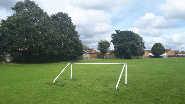
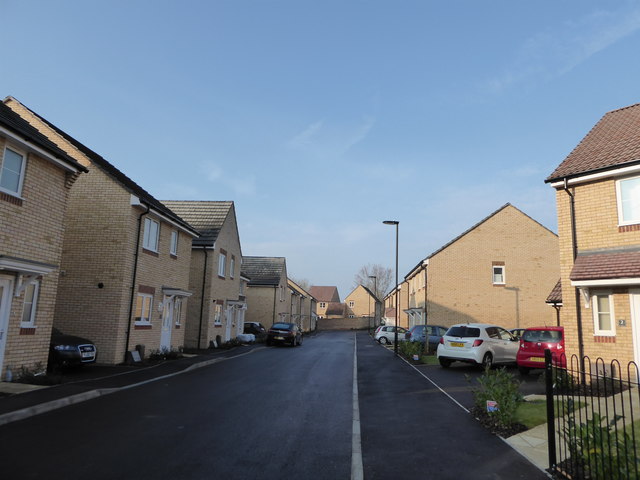
Stakes Images
Images are sourced within 2km of 50.872946/-1.0178192 or Grid Reference SU6908. Thanks to Geograph Open Source API. All images are credited.


Stakes is located at Grid Ref: SU6908 (Lat: 50.872946, Lng: -1.0178192)
Administrative County: Hampshire
District: Havant
Police Authority: Hampshire
What 3 Words
///curving.rider.maps. Near Waterlooville, Hampshire
Nearby Locations
Related Wikis

Oaklands Catholic School
Oaklands Roman Catholic Comprehensive School and Sixth Form College is a co-educational secondary school and sixth form college with academy status located...
Crookhorn College
Crookhorn College is a coeducational foundation secondary school, located in Waterlooville in the English county of Hampshire.It is administered by Hampshire...

Waterlooville
Waterlooville is a town in the Borough of Havant in Hampshire, England, approximately 6 miles (9.7 km) north northeast of Portsmouth. It is the largest...
Park Community School
Park Community School is a coeducational community secondary school, located in the Leigh Park area of Havant in the English county of Hampshire.It is...
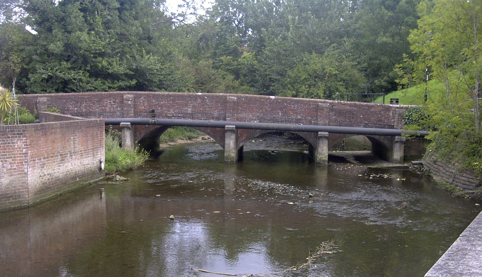
River Wallington
The River Wallington curves and gently meanders west then south in south-east Hampshire. Rising at sources to north and south of Waterlooville these flow...
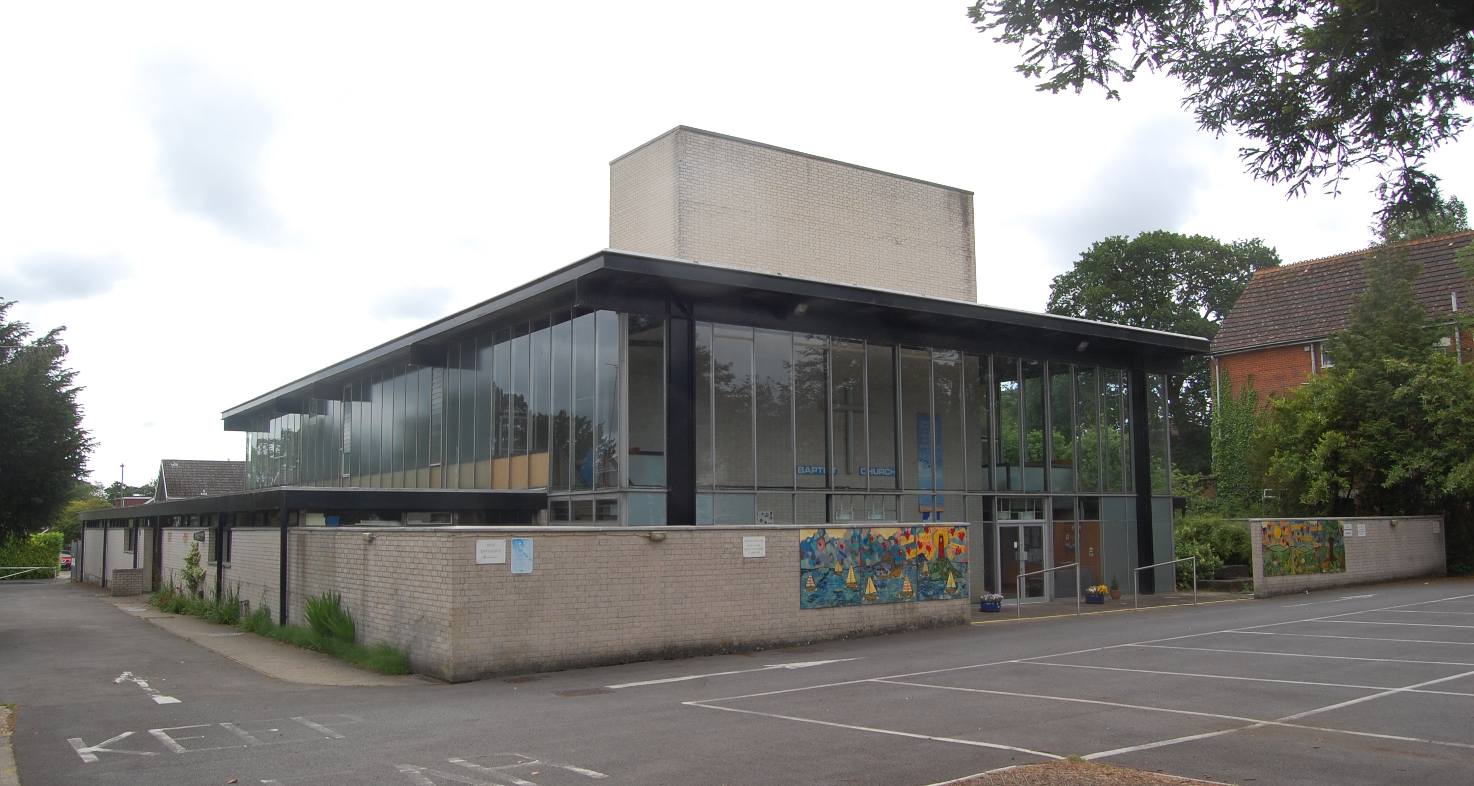
Waterlooville Baptist Church
Waterlooville Baptist Church is a Baptist church in Waterlooville and surrounding suburban areas in the borough of Havant in Hampshire, southeast England...
Purbrook
Purbrook is a village and local government sub-division located in Hampshire, England. Purbrook is on the outskirts of Waterlooville just north of the...
Wecock Farm
Wecock Farm is a 1970s council estate on the western edges of Waterlooville originally built by Portsmouth City Council. Its lineage can be traced back...
Nearby Amenities
Located within 500m of 50.872946,-1.0178192Have you been to Stakes?
Leave your review of Stakes below (or comments, questions and feedback).