Frendstaple Woods
Wood, Forest in Hampshire Havant
England
Frendstaple Woods

Frendstaple Woods is a charming woodland area located in Hampshire, England. Spread across approximately 200 acres of land, it is a popular destination for nature enthusiasts and those seeking a peaceful retreat. The woods are situated in the northeast part of Hampshire, near the village of Medstead.
This ancient woodland is known for its diverse range of flora and fauna, making it a haven for wildlife. The dense canopy of trees, including oak, beech, and birch, provides a habitat for numerous bird species such as woodpeckers, owls, and songbirds. Visitors may also spot mammals such as deer, foxes, and badgers roaming through the undergrowth.
Frendstaple Woods offer a network of well-maintained trails, allowing visitors to explore the area on foot. The paths wind through the woodland, providing access to its hidden corners and picturesque spots. Along the way, visitors can enjoy the serenity of the surroundings, listening to the rustling leaves and birdsong.
The woods also hold historical significance, with evidence of human activity dating back centuries. Ancient earthworks and remnants of iron-age settlements can be found within the woods, offering a glimpse into Hampshire's past.
Frendstaple Woods is a treasured natural gem in Hampshire, offering a tranquil escape from the hustle and bustle of everyday life. Whether it's a leisurely stroll, birdwatching, or simply immersing oneself in the beauty of nature, this woodland is a must-visit destination for anyone seeking solace in the great outdoors.
If you have any feedback on the listing, please let us know in the comments section below.
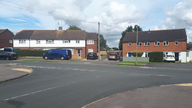
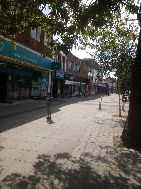
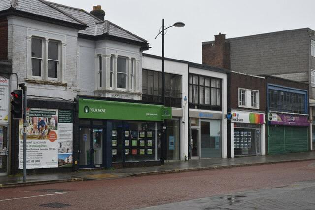
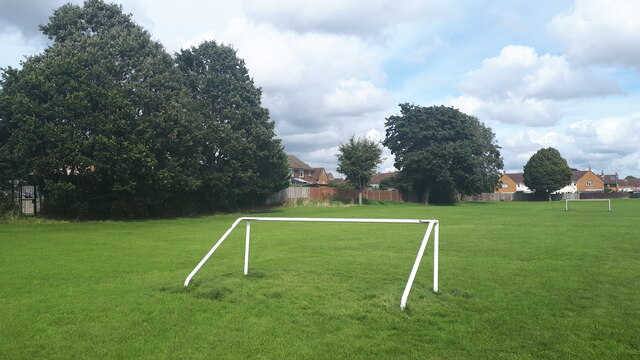
Frendstaple Woods Images
Images are sourced within 2km of 50.87042/-1.0180002 or Grid Reference SU6908. Thanks to Geograph Open Source API. All images are credited.


Frendstaple Woods is located at Grid Ref: SU6908 (Lat: 50.87042, Lng: -1.0180002)
Administrative County: Hampshire
District: Havant
Police Authority: Hampshire
What 3 Words
///tricks.harsh.noted. Near Waterlooville, Hampshire
Nearby Locations
Related Wikis

Oaklands Catholic School
Oaklands Roman Catholic Comprehensive School and Sixth Form College is a co-educational secondary school and sixth form college with academy status located...
Crookhorn College
Crookhorn College is a coeducational foundation secondary school, located in Waterlooville in the English county of Hampshire.It is administered by Hampshire...
Park Community School
Park Community School is a coeducational community secondary school, located in the Leigh Park area of Havant in the English county of Hampshire.It is...

Waterlooville
Waterlooville is a town in the Borough of Havant in Hampshire, England, approximately 6 miles (9.7 km) north northeast of Portsmouth. It is the largest...
Purbrook
Purbrook is a village and local government sub-division located in Hampshire, England. Purbrook is on the outskirts of Waterlooville just north of the...
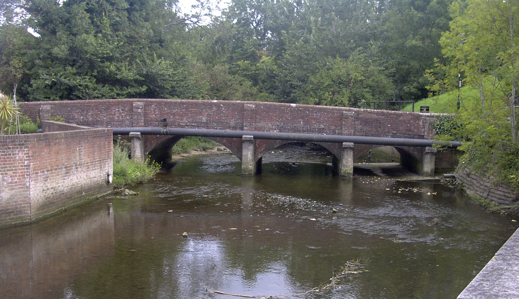
River Wallington
The River Wallington curves and gently meanders west then south in south-east Hampshire. Rising at sources to north and south of Waterlooville these flow...
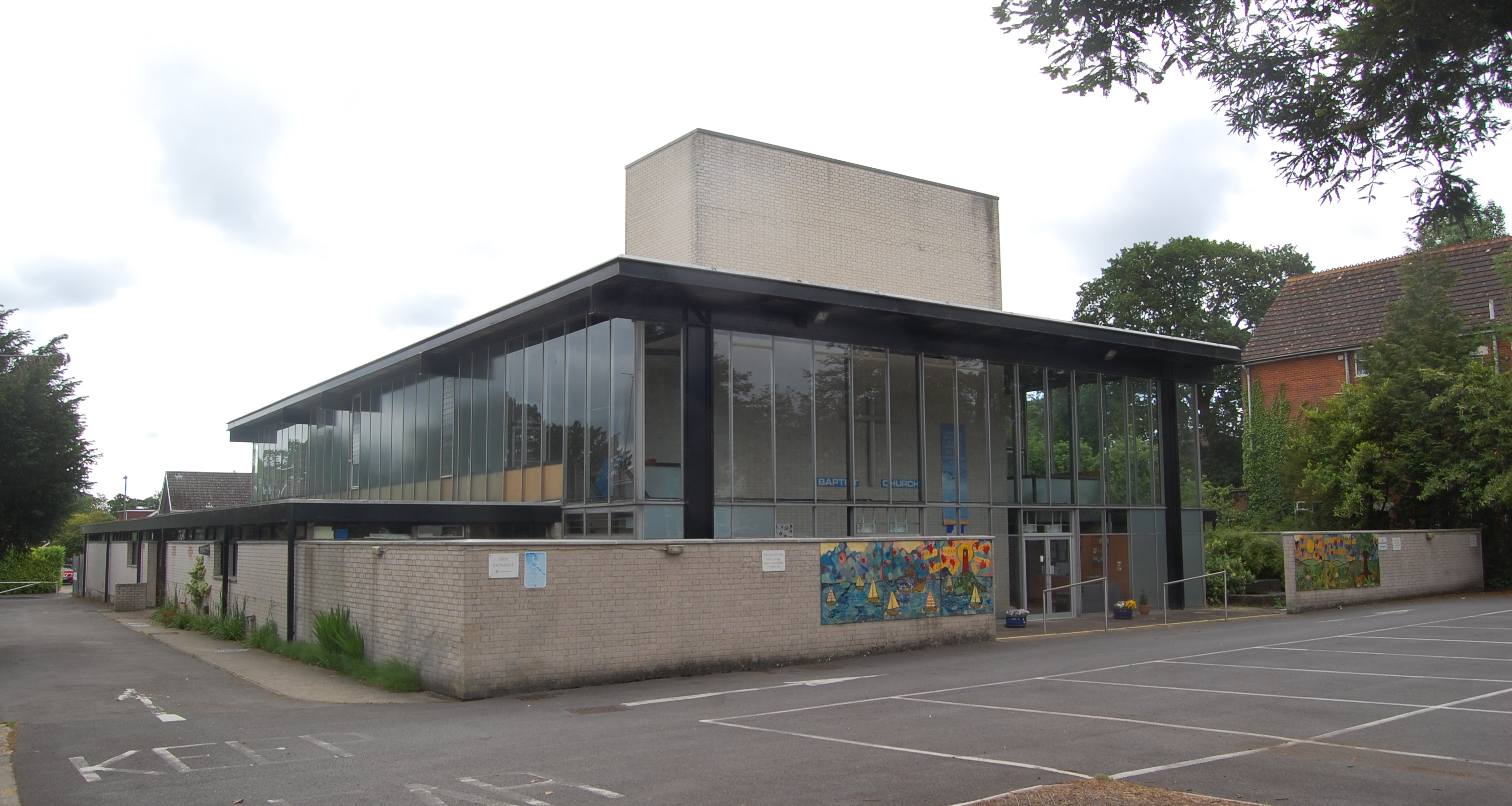
Waterlooville Baptist Church
Waterlooville Baptist Church is a Baptist church in Waterlooville and surrounding suburban areas in the borough of Havant in Hampshire, southeast England...
Bedhampton
Bedhampton is a former village, and now suburb, located in the Borough of Havant, Hampshire, England. It is located at the northern end of Langstone Harbour...
Related Videos

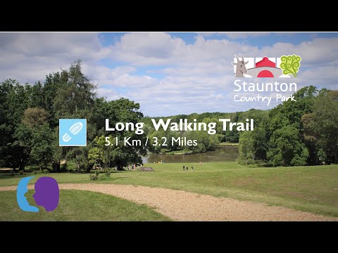
Long Walking Trail - Staunton Country Park
A 3 mile walk around Staunton Country Park and Havant Thicket. Part of which is due to be Havant Reservoir by 2029 - 2032.

Hidden Histories: Staunton Country Park and Farm
Join Lottie on her look back over the fascinating history of Staunton Country Park and Farm. Rich with 200 years of stories, learn ...

Hike & coffee around Langstone Harbour
A short hike around the harbour, coffee in the shingles. Mental rest.
Nearby Amenities
Located within 500m of 50.87042,-1.0180002Have you been to Frendstaple Woods?
Leave your review of Frendstaple Woods below (or comments, questions and feedback).