Moss Side
Settlement in Lancashire Wyre
England
Moss Side
Moss Side is a neighborhood located in the city of Manchester, within the county of Lancashire, England. It is situated approximately 1.5 miles south of the city center and is bordered by Rusholme to the north, Hulme to the west, and Whalley Range to the south.
Originally known for its rural landscape and moss-covered fields, Moss Side underwent significant development during the Industrial Revolution in the 19th century. It transformed into a predominantly residential area, characterized by rows of terraced houses that were built to accommodate the growing population of factory workers and their families.
Over the years, Moss Side has become a diverse and multicultural community, with residents from various ethnic backgrounds contributing to its vibrant atmosphere. The neighborhood is known for its strong sense of community spirit and has a rich cultural heritage, with numerous community organizations and events promoting social cohesion.
Moss Side is well-served by public transportation, with several bus routes connecting it to the city center and surrounding areas. The nearby Princess Road provides easy access to major highways, facilitating travel within and outside of the neighborhood.
The area has a range of amenities to cater to its residents' needs, including schools, healthcare facilities, and shopping centers. Alexandra Park, a large green space located in Moss Side, offers recreational opportunities with its playgrounds, sports fields, and beautiful gardens.
While Moss Side has faced socio-economic challenges in the past, efforts have been made to improve the area's infrastructure and rejuvenate its image. Today, it is a vibrant and evolving neighborhood that continues to attract new residents and visitors alike.
If you have any feedback on the listing, please let us know in the comments section below.
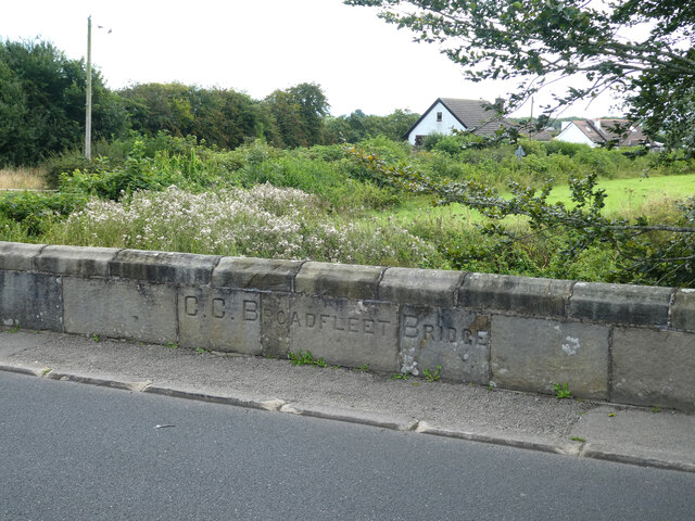
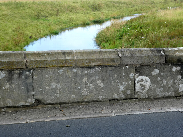
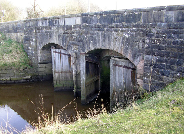
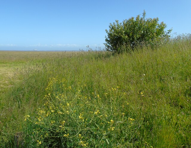
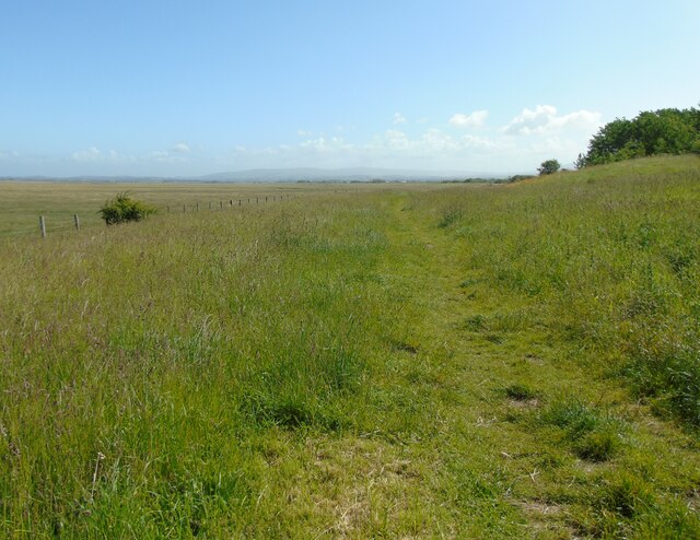
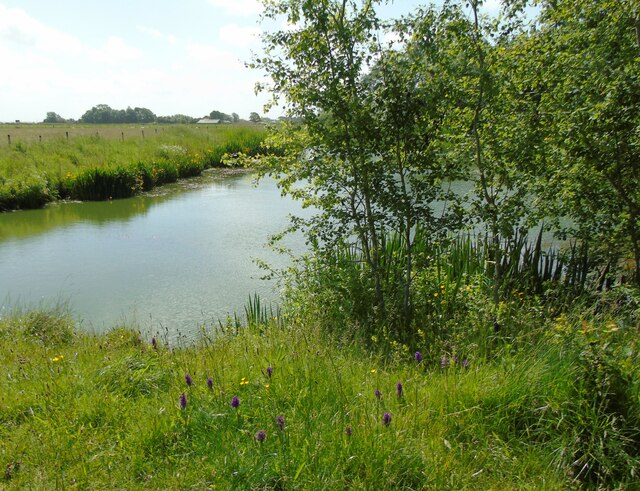
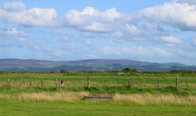
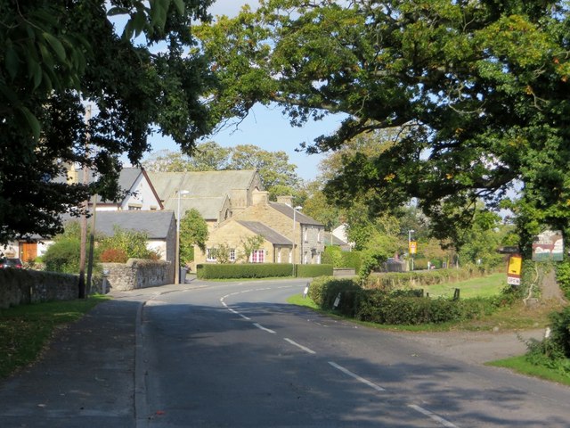
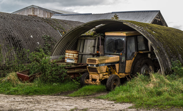
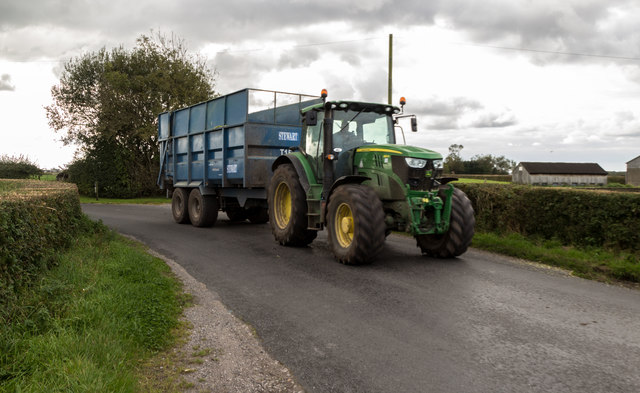
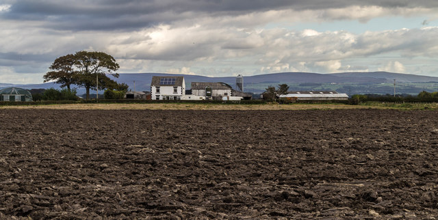
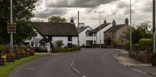
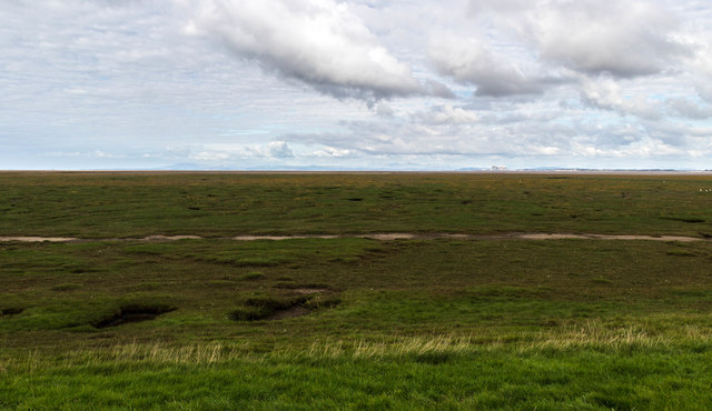
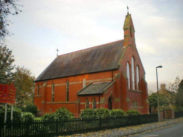
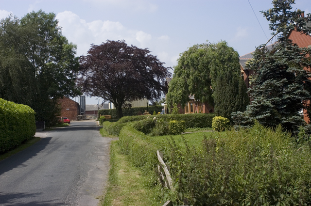
Moss Side Images
Images are sourced within 2km of 53.92402/-2.8877056 or Grid Reference SD4147. Thanks to Geograph Open Source API. All images are credited.
Moss Side is located at Grid Ref: SD4147 (Lat: 53.92402, Lng: -2.8877056)
Administrative County: Lancashire
District: Wyre
Police Authority: Lancashire
What 3 Words
///dictation.dupe.observe. Near Preesall, Lancashire
Nearby Locations
Related Wikis

Pilling railway station
Pilling railway station served the villages of Pilling and Stake Pool in Lancashire, England. == Under the Garstang and Knot-End Railway == The station...

Garstang Road Halt railway station
Garstang Road railway station served the hamlet of Stake Pool, Lancashire, England, from 1923 to 1930 on the Knott End branch of the London, Midland and...
Stake Pool
Stake Pool (also written as Stakepool) is a small rural hamlet in the county of Lancashire, England. It is on the Over Wyre region of the Fylde coast...
Scronkey
Scronkey is a small rural hamlet in the county of Lancashire, England. It is in the Over Wyre region of the Fylde, west of Garstang near Pilling. The combined...

Pilling
Pilling is a village and civil parish within the Wyre borough of Lancashire, England. It is 6.5 miles (10.5 km) north-northeast of Poulton-le-Fylde, 9...
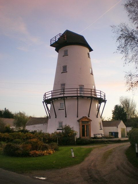
Damside Windmill
Damside Windmill (also known as Pilling Windmill and The Old Mill) is a tower windmill in the English village of Pilling, Lancashire. It was built in 1808...

The Olde Ship
The Olde Ship is an historic building in Pilling, Lancashire, England. It was built in 1782 for sea captain and slave trader George Dickinson (1732–1806...

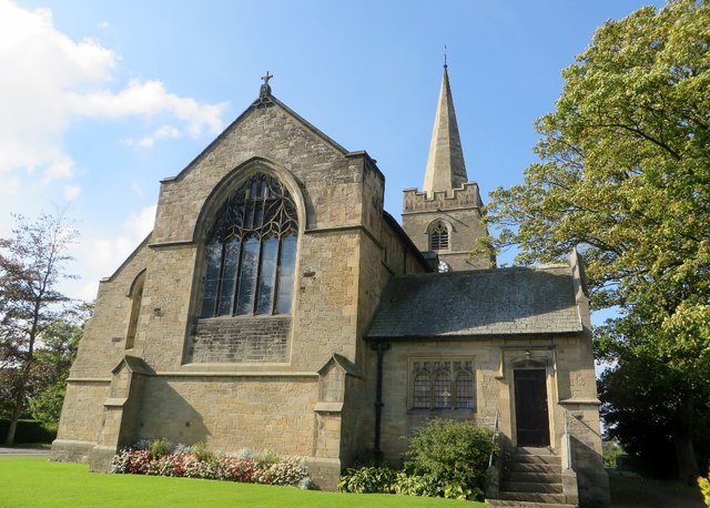
Old St John the Baptist's Church, Pilling
Old St John the Baptist's Church is a redundant Anglican church in the village of Pilling, Lancashire, England. It stands 160 yards (150 m) to the south...
Nearby Amenities
Located within 500m of 53.92402,-2.8877056Have you been to Moss Side?
Leave your review of Moss Side below (or comments, questions and feedback).