Moss Side
Settlement in Cheshire
England
Moss Side
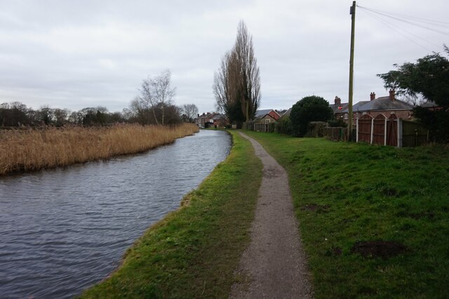
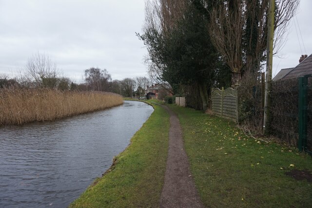
Moss Side is a small village located in the county of Cheshire, England. Situated approximately 4 miles southwest of the town of Congleton, Moss Side is nestled amidst the picturesque countryside of the Cheshire Plain. The village is characterized by its tranquil atmosphere and idyllic rural surroundings, making it an appealing destination for those seeking a peaceful retreat.
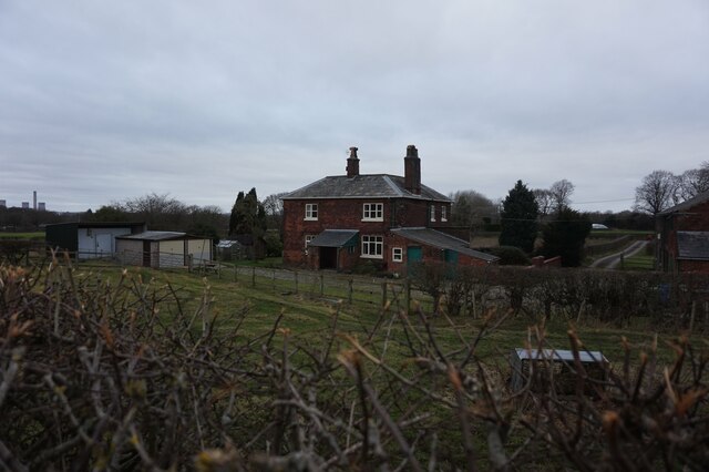
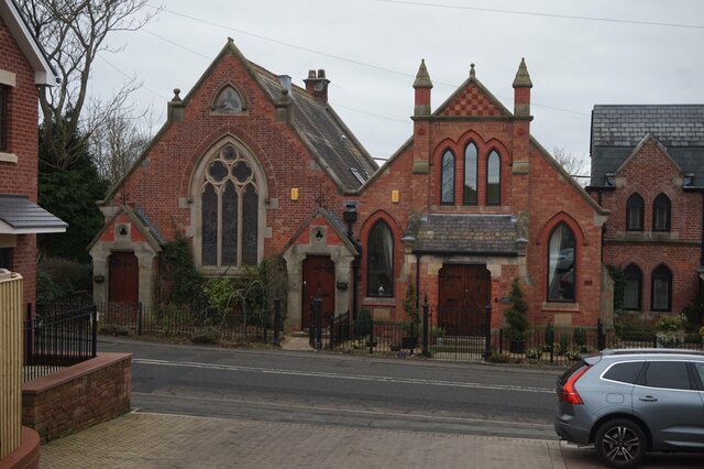
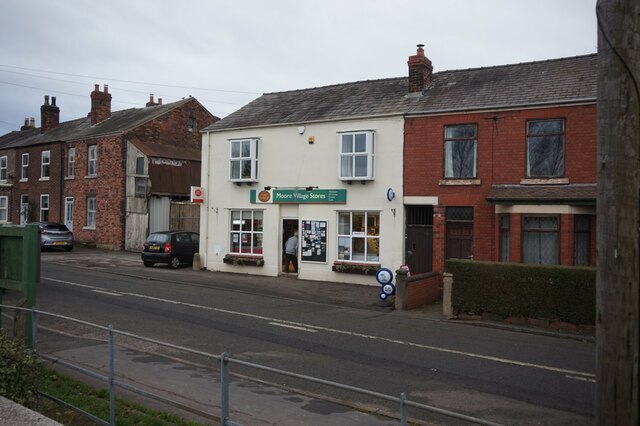
The area is primarily residential, with a small population of around 300 residents. The village is known for its charming cottages and well-maintained gardens, which contribute to its overall aesthetic appeal. Moss Side is also recognized for its strong sense of community, with various local events and initiatives bringing residents together.
While Moss Side may be a small village, it benefits from its close proximity to neighboring towns and cities. The bustling town of Congleton offers an array of amenities, including shops, restaurants, and leisure facilities, just a short drive away. Additionally, nearby Manchester is easily accessible, providing residents with a wider range of cultural, shopping, and employment opportunities.
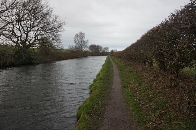
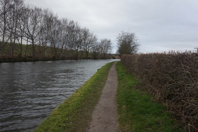
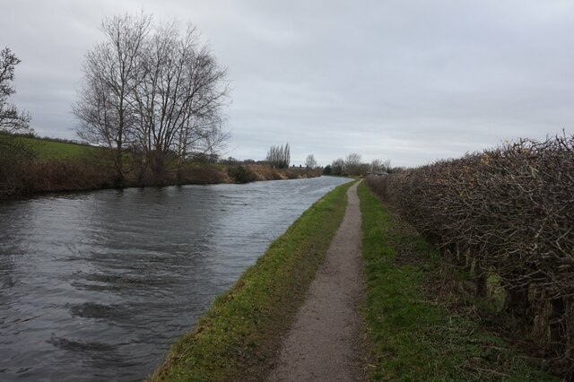
For those with a love for the outdoors, Moss Side offers easy access to the stunning countryside of Cheshire. The village is surrounded by lush green fields and woodlands, providing ample opportunities for walking, hiking, and exploring nature.
In summary, Moss Side is a charming village in Cheshire, offering a peaceful and close-knit community atmosphere. With its beautiful surroundings and convenient location, it provides residents with a balanced and enjoyable lifestyle.
If you have any feedback on the listing, please let us know in the comments section below.
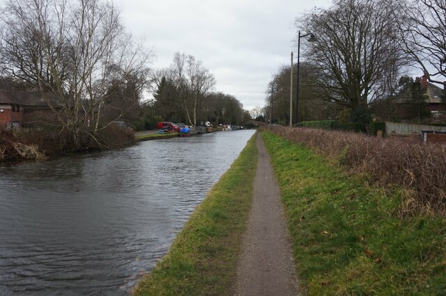
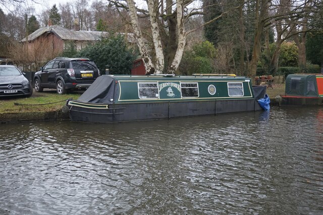
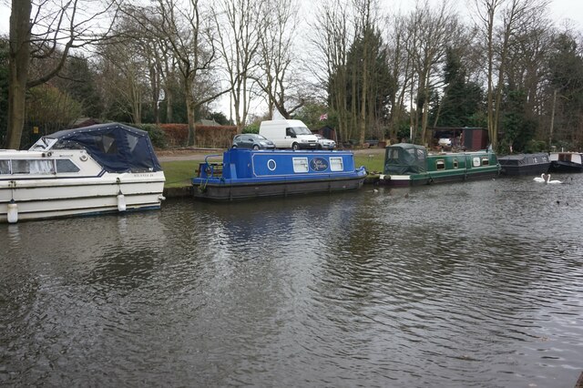
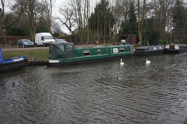
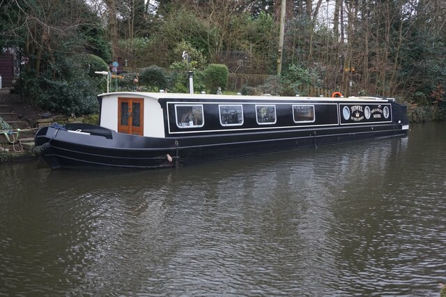
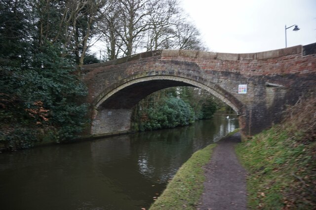
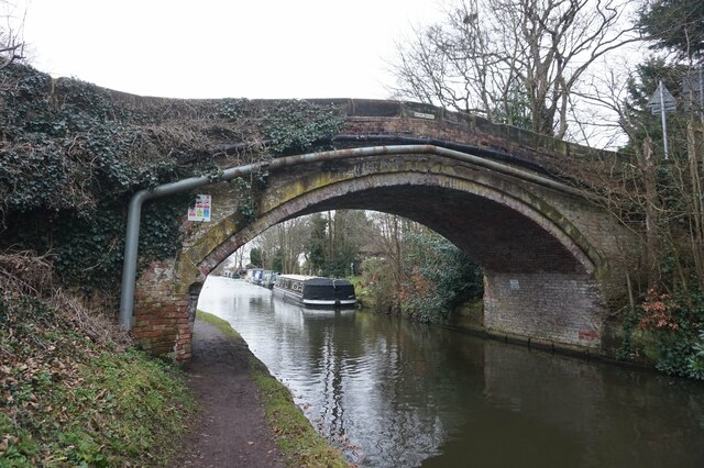
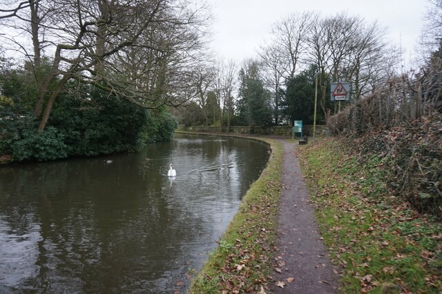
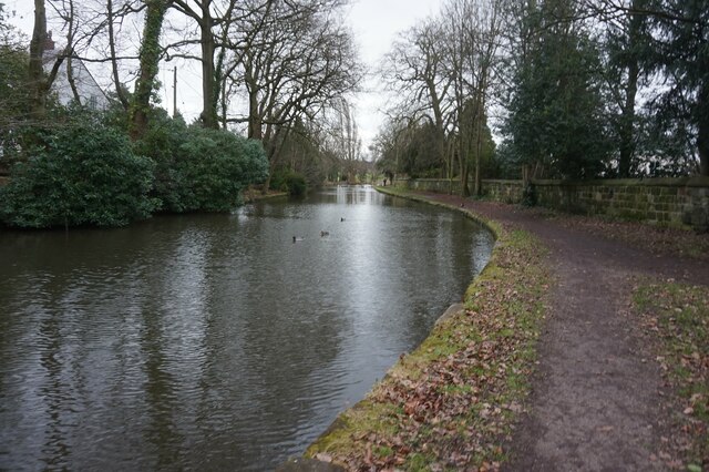
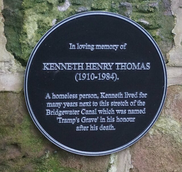
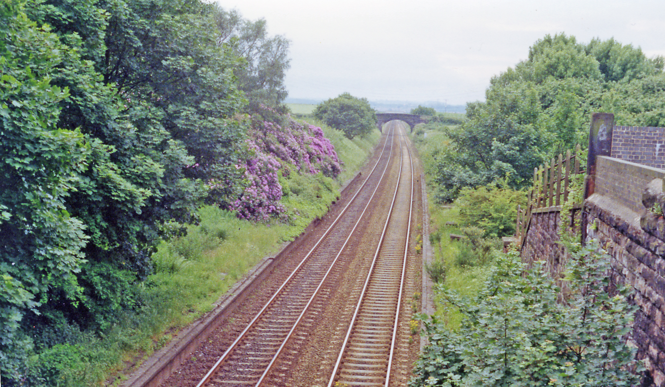
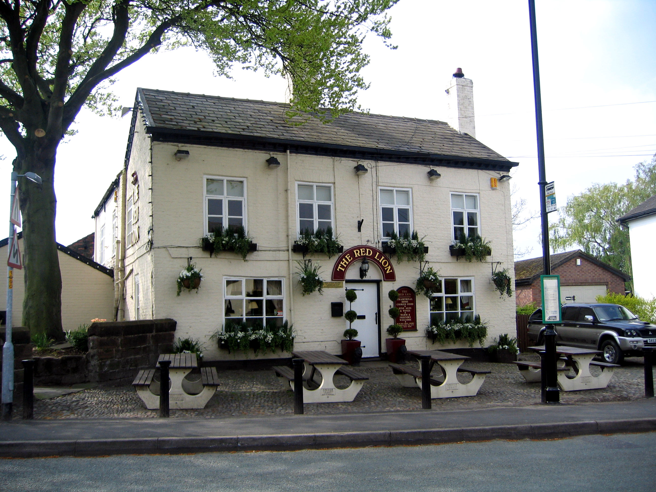
Moss Side Images
Images are sourced within 2km of 53.364156/-2.6501584 or Grid Reference SJ5685. Thanks to Geograph Open Source API. All images are credited.
Moss Side is located at Grid Ref: SJ5685 (Lat: 53.364156, Lng: -2.6501584)
Unitary Authority: Warrington
Police Authority: Cheshire
What 3 Words
///refuse.lock.gosh. Near Daresbury, Cheshire
Nearby Locations
Related Wikis

Moore railway station
Moore railway station was a station on the Grand Junction Railway, serving Runcorn in North-West England. It opened in 1837,: 61 closing to passengers...

Fidlers Ferry & Penketh railway station
Fidler's Ferry & Penketh railway station was on what is now the southwestern edge of Warrington, England. It was located at a point where the St Helens...
Daresbury railway station
Daresbury railway station was a station in Moore, Cheshire, on the Birkenhead Joint Railway between Runcorn and Warrington. It was named after the village...
Moore, Cheshire
Moore is a village and civil parish in the Borough of Halton, Cheshire, England, located midway between Runcorn and Warrington. At the 2011 census, it...
Warrington rail crash
The Warrington rail crash occurred at Walton Junction just south of the town of Warrington in Lancashire on 29 June 1867. The collision involved a passenger...
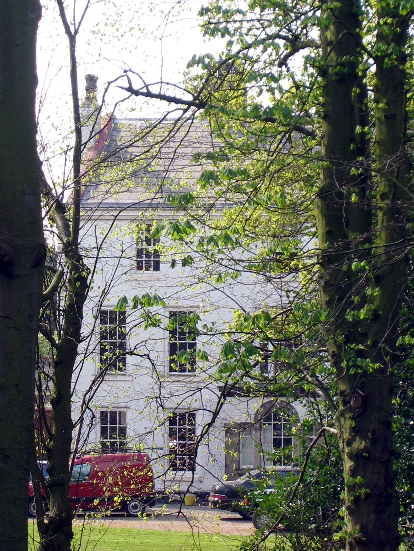
Moore Hall, Cheshire
Moore Hall is a country house located in the village of Moore, Cheshire, England. It was built in the early 18th century, and is constructed in roughcast...
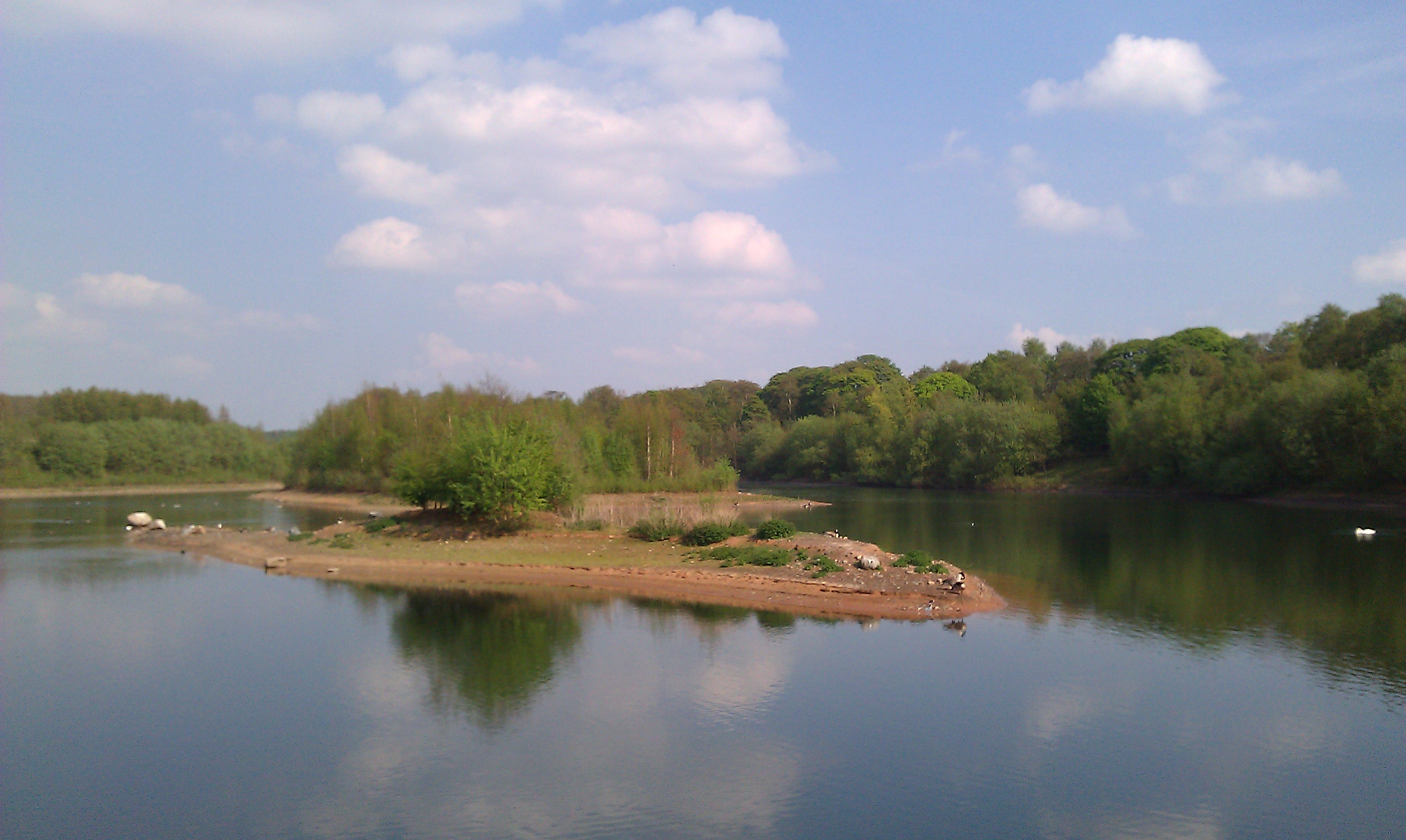
Moore Nature Reserve
Moore Nature Reserve is a nature reserve in the village of Moore in Halton, Cheshire, England. Created from an area which had included a sand quarry and...
Keckwick
Keckwick is an area in the Borough of Halton in Cheshire. Although there is no village as such, numerous toponyms attest to a particular identity in the...
Nearby Amenities
Located within 500m of 53.364156,-2.6501584Have you been to Moss Side?
Leave your review of Moss Side below (or comments, questions and feedback).