Adel East Moor
Settlement in Yorkshire
England
Adel East Moor
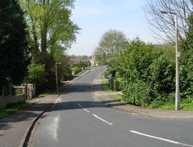
Adel East Moor is a suburban area located in the northwestern part of Leeds, West Yorkshire, England. It is situated approximately 6 kilometers (3.7 miles) north of the city center and is part of the Adel and Wharfedale Ward. Adel East Moor is bordered by the neighborhoods of Adel to the south, Bramhope to the north, and Cookridge to the east.
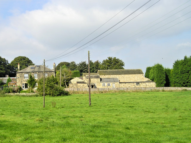
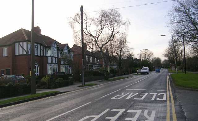
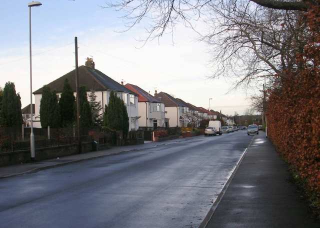
This area is predominantly residential, characterized by a mix of detached and semi-detached houses, along with some modern apartment buildings. The housing stock in Adel East Moor is generally considered desirable, with many properties featuring well-maintained gardens and ample green spaces.
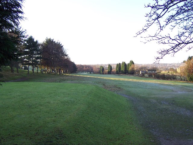
The area benefits from its proximity to the countryside, with the Yorkshire Dales National Park just a short drive away. Adel East Moor is also known for its attractive nature reserves, including the Adel Dam and Breary Marsh Local Nature Reserve, which provide opportunities for wildlife spotting and leisurely walks.
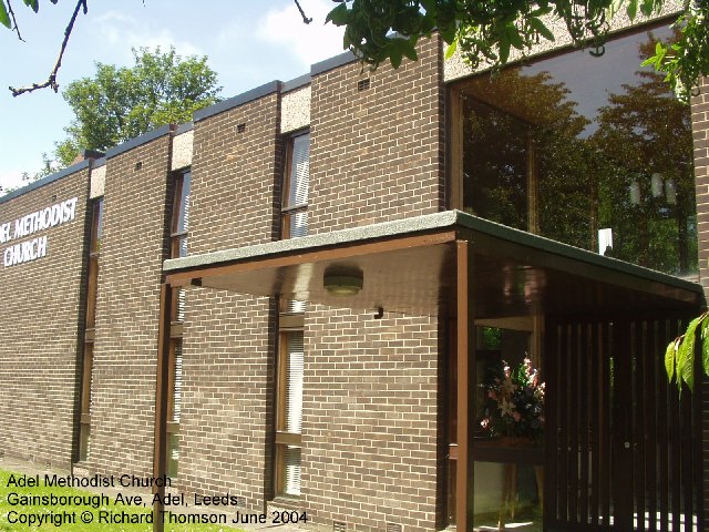
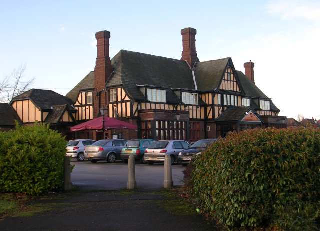
In terms of amenities, Adel East Moor has a range of facilities to serve its residents. There are several local shops, a post office, and a pub, providing basic necessities and socializing opportunities. The area is well-connected by public transport, with regular bus services connecting it to Leeds city center and other nearby areas.
Overall, Adel East Moor offers a peaceful suburban lifestyle within easy reach of both urban conveniences and natural beauty, making it an appealing place to live for families and professionals alike.
If you have any feedback on the listing, please let us know in the comments section below.
Adel East Moor Images
Images are sourced within 2km of 53.851046/-1.568249 or Grid Reference SE2839. Thanks to Geograph Open Source API. All images are credited.

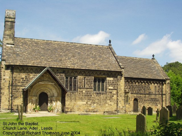
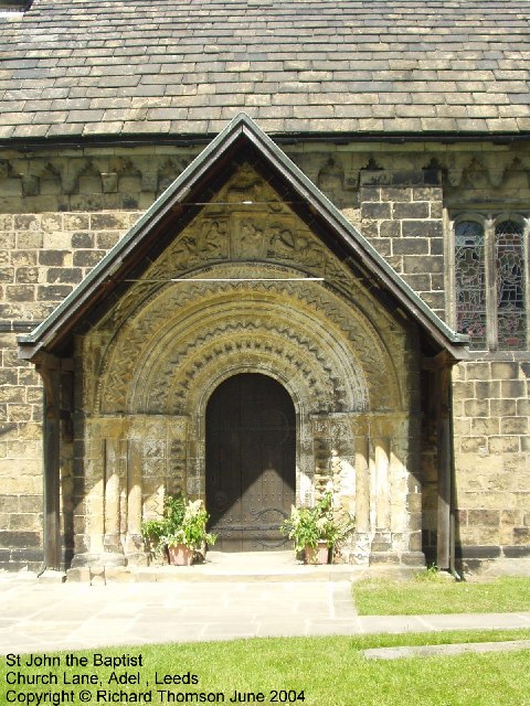

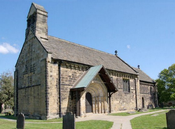
![Adel, St John the Baptist Norman Door Ring (1963) The original Norman bronze piece shown was stolen in 2002 and was replaced in replica. The handle is in the form of a monster’s head, probably a lion, with a mouth swallowing a man.
Acknowledgements.
1. Nikolaus Pevsner. The Buildings of England. Yorkshire: The West Riding. 1959.
2. Leeds / Susan Wrathmell with John Minnis / and contributions by Janet Douglas ... [et al.] 2005.
3. Leodis - a photographic archive of Leeds. <span class="nowrap"><a title="http://www.leodis.net" rel="nofollow ugc noopener" href="http://www.leodis.net">Link</a><img style="margin-left:2px;" alt="External link" title="External link - shift click to open in new window" src="https://s1.geograph.org.uk/img/external.png" width="10" height="10"/></span>](https://s2.geograph.org.uk/photos/38/09/380978_00f770ff.jpg)
Adel East Moor is located at Grid Ref: SE2839 (Lat: 53.851046, Lng: -1.568249)
Division: West Riding
Unitary Authority: Leeds
Police Authority: West Yorkshire
What 3 Words
///wants.beats.curiosity. Near Chapel Allerton, West Yorkshire
Nearby Locations
Related Wikis

Leeds Outer Ring Road
The Leeds Outer Ring Road is a main road that runs around most of the perimeter of the city of Leeds, West Yorkshire, England. The ring road is approximately...

Allerton High School
Allerton High School is a coeducational secondary school and sixth form located in Alwoodley, Leeds, West Yorkshire, England. It is situated around 500...
Adel, Leeds
Adel is a suburb of Leeds, West Yorkshire, England. To its immediate south is Weetwood, to the west are Cookridge and Holt Park, to the east are Alwoodley...
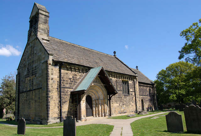
St John the Baptist Church, Adel
The Grade I listed, mainly Norman Church of Saint John the Baptist in Adel, Leeds, West Yorkshire, England has been described by Nicholas Pevsner as 'one...
Cardinal Heenan Catholic High School, Leeds
Cardinal Heenan Catholic High School is a comprehensive school located in Meanwood, Leeds, West Yorkshire, England. == General == Cardinal Heenan Catholic...

Bodington Hall
Bodington Hall was the largest hall of residence of the University of Leeds, in Leeds, England. It was opened in 1961 and closed in 2013. The site still...

Lawnswood High School
Lawnswood High School was a girls' grammar school in Lawnswood, north Leeds, West Yorkshire, England, close to the A660. == History == In 1854 the Leeds...
Weetwood
Weetwood is an area between Headingley and Meanwood in north-west Leeds, West Yorkshire, England. It is bounded on the north by the A6120 (Outer Ring...
Nearby Amenities
Located within 500m of 53.851046,-1.568249Have you been to Adel East Moor?
Leave your review of Adel East Moor below (or comments, questions and feedback).