Adel East Moor
Wood, Forest in Yorkshire
England
Adel East Moor
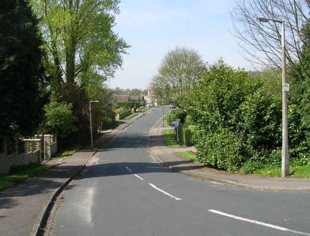
Adel East Moor, located in the county of Yorkshire, is a picturesque woodland area known for its natural beauty and rich history. Situated in the north of England, this tranquil forest is an important part of the Adel village community.
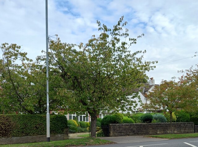
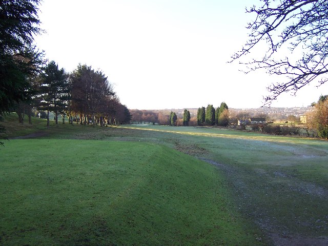
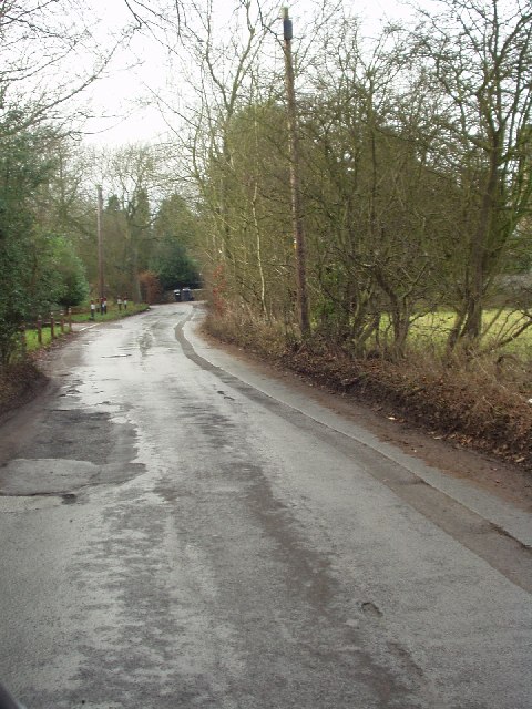
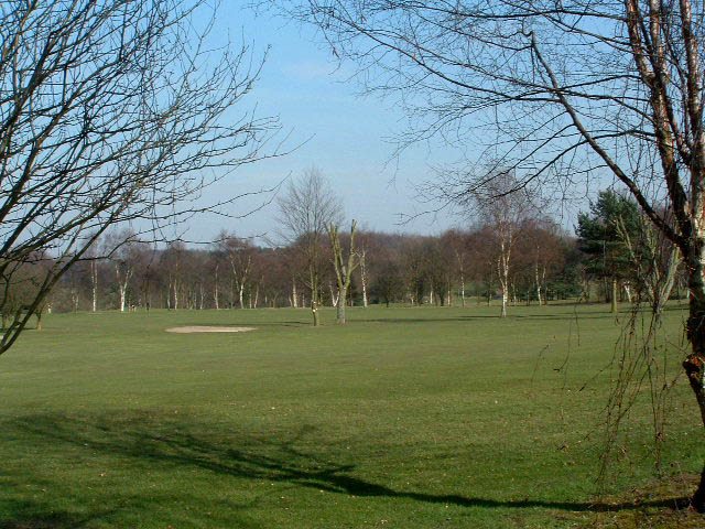
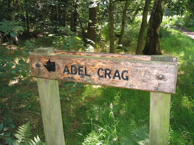
Covering an area of approximately 100 acres, Adel East Moor is a haven for nature enthusiasts and wildlife lovers. The woodland is home to a diverse range of flora and fauna, including ancient oak trees, bluebells, and various species of birds and mammals. Walking trails and footpaths wind through the forest, allowing visitors to explore its hidden gems and enjoy the tranquility it offers.
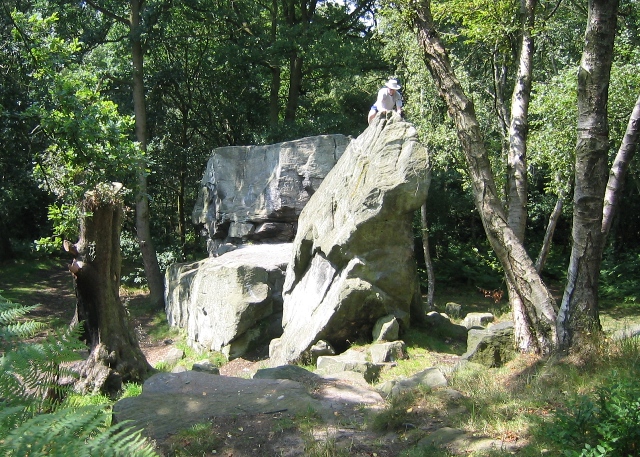
The history of Adel East Moor dates back centuries, with archaeological evidence suggesting human activity in the area as early as the Bronze Age. The forest has witnessed the rise and fall of civilizations, and remnants of ancient structures and burial sites can still be found within its boundaries. The moor was also once a hunting ground for the nobility during the medieval period.
Today, Adel East Moor is managed by local authorities and conservation organizations, ensuring its preservation for future generations. The woodland serves as an important green space, providing recreational opportunities for both residents and visitors. It is a popular spot for walking, jogging, and cycling, offering a peaceful escape from the hustle and bustle of city life.
In conclusion, Adel East Moor is a captivating woodland area in Yorkshire, England. With its natural beauty, rich history, and abundant wildlife, it is a true gem of the region, attracting nature lovers and history enthusiasts alike.
If you have any feedback on the listing, please let us know in the comments section below.
Adel East Moor Images
Images are sourced within 2km of 53.850474/-1.5661779 or Grid Reference SE2839. Thanks to Geograph Open Source API. All images are credited.
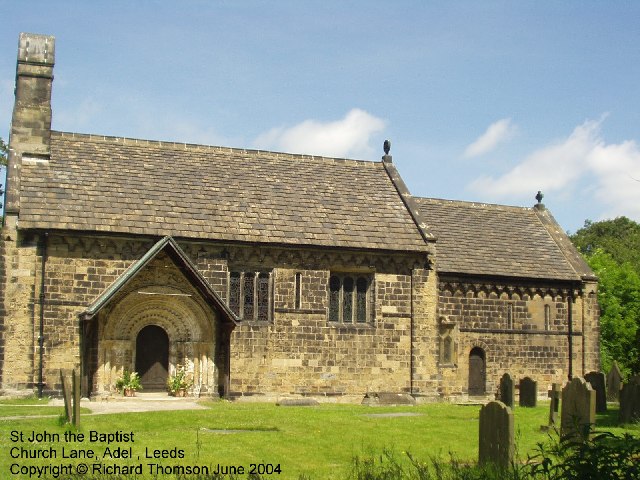
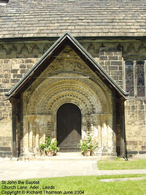

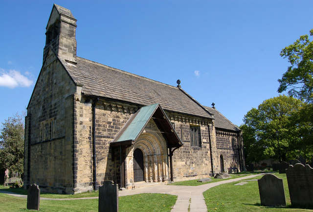
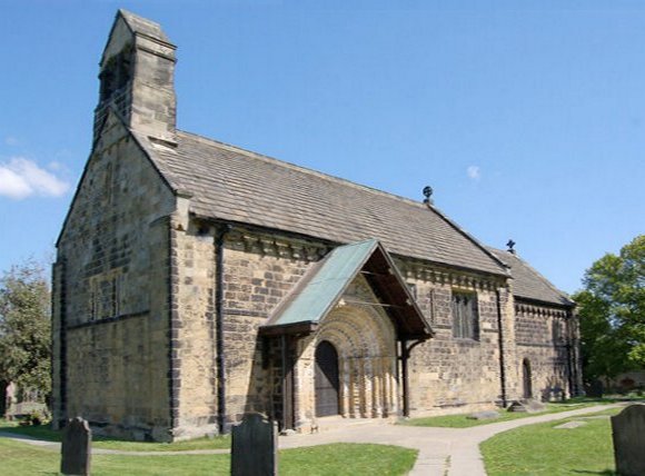
![Adel, St John the Baptist Norman Door Ring (1963) The original Norman bronze piece shown was stolen in 2002 and was replaced in replica. The handle is in the form of a monster’s head, probably a lion, with a mouth swallowing a man.
Acknowledgements.
1. Nikolaus Pevsner. The Buildings of England. Yorkshire: The West Riding. 1959.
2. Leeds / Susan Wrathmell with John Minnis / and contributions by Janet Douglas ... [et al.] 2005.
3. Leodis - a photographic archive of Leeds. <span class="nowrap"><a title="http://www.leodis.net" rel="nofollow ugc noopener" href="http://www.leodis.net">Link</a><img style="margin-left:2px;" alt="External link" title="External link - shift click to open in new window" src="https://s1.geograph.org.uk/img/external.png" width="10" height="10"/></span>](https://s2.geograph.org.uk/photos/38/09/380978_00f770ff.jpg)
Adel East Moor is located at Grid Ref: SE2839 (Lat: 53.850474, Lng: -1.5661779)
Division: West Riding
Unitary Authority: Leeds
Police Authority: West Yorkshire
What 3 Words
///bills.only.safely. Near Chapel Allerton, West Yorkshire
Nearby Locations
Related Wikis

Leeds Outer Ring Road
The Leeds Outer Ring Road is a main road that runs around most of the perimeter of the city of Leeds, West Yorkshire, England. The ring road is approximately...

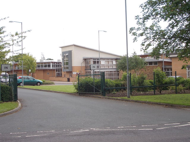
Allerton High School
Allerton High School is a coeducational secondary school and sixth form located in Alwoodley, Leeds, West Yorkshire, England. It is situated around 500...
Adel, Leeds
Adel is a suburb of Leeds, West Yorkshire, England. To its immediate south is Weetwood, to the west are Cookridge and Holt Park, to the east are Alwoodley...
Cardinal Heenan Catholic High School, Leeds
Cardinal Heenan Catholic High School is a comprehensive school located in Meanwood, Leeds, West Yorkshire, England. == General == Cardinal Heenan Catholic...
Related Videos
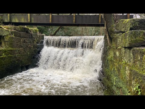
Awesome walking trails through Meanwood valley
Part of the Meanwood valley trail in Leeds-west Yorkshire.uk.this is a way marked footpath covering 7 miles in total from ...
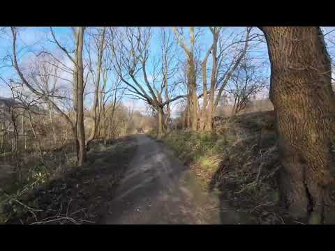
Walking to Meanwood Valley Urban Farm
Using DJI Osmo Action 4.
Nearby Amenities
Located within 500m of 53.850474,-1.5661779Have you been to Adel East Moor?
Leave your review of Adel East Moor below (or comments, questions and feedback).