Adel Woods

Wood, Forest in Yorkshire

England

Adel Woods

The Fairway - Alwoodley Lane
The Fairway - Alwoodley Lane Credit: Betty Longbottom

Adel Woods is a picturesque woodland area located in the Adel district of Leeds, West Yorkshire, England. Spread across an area of approximately 100 acres, this woodland is a captivating natural retreat for locals and visitors alike. The woods are characterized by their dense vegetation, towering trees, and diverse wildlife, providing a tranquil escape from the bustling city.

The woodland is named after the nearby village of Adel, which is steeped in history and dates back to Saxon times. Adel Woods is believed to have been a hunting ground for the nobility in medieval times, and remnants of a medieval deer park can still be seen within the woods.

Walking through Adel Woods, visitors are greeted by a variety of tree species, including oak, beech, and silver birch, which create a vibrant tapestry of colors throughout the seasons. The ground is carpeted with bluebells in spring, adding a touch of enchantment to the woodland. The woods also boast several well-maintained footpaths and trails, making it an ideal destination for nature enthusiasts, joggers, and dog walkers.

The diverse wildlife in Adel Woods includes deer, foxes, badgers, and a plethora of bird species, making it a haven for wildlife enthusiasts and birdwatchers. The area is also home to a variety of plant species, including wildflowers and ferns, adding to its natural beauty.

Adel Woods is not only a place of natural beauty but also an important ecological site that contributes to the conservation and preservation of the region's biodiversity. The woodland provides a peaceful haven for both people and wildlife, offering a serene escape from the urban landscape.

If you have any feedback on the listing, please let us know in the comments section below.
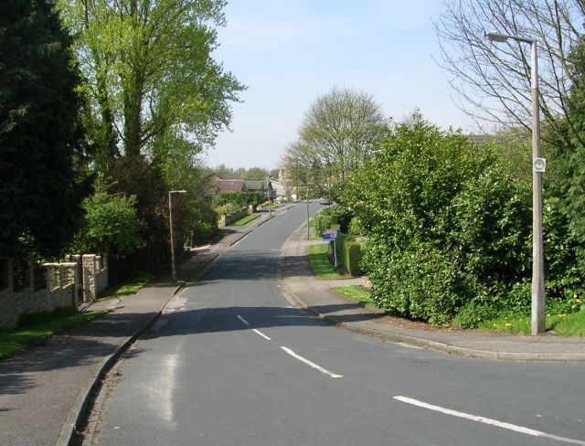
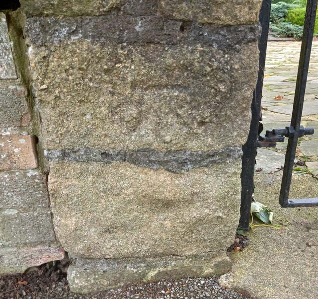
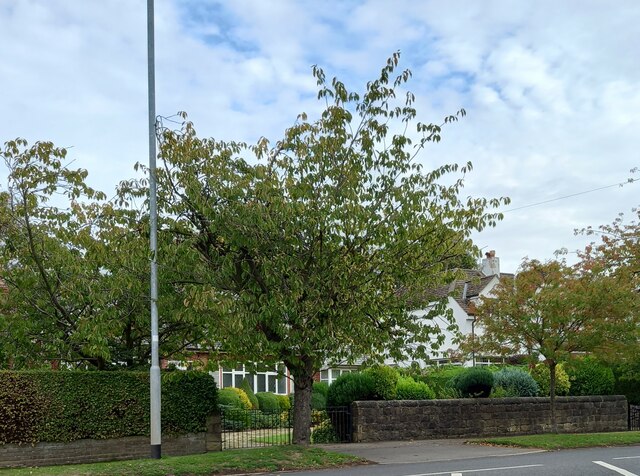
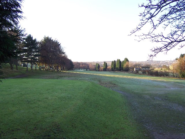
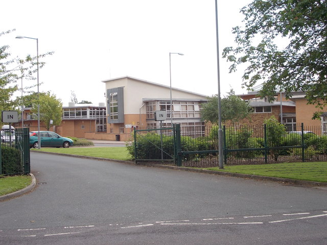
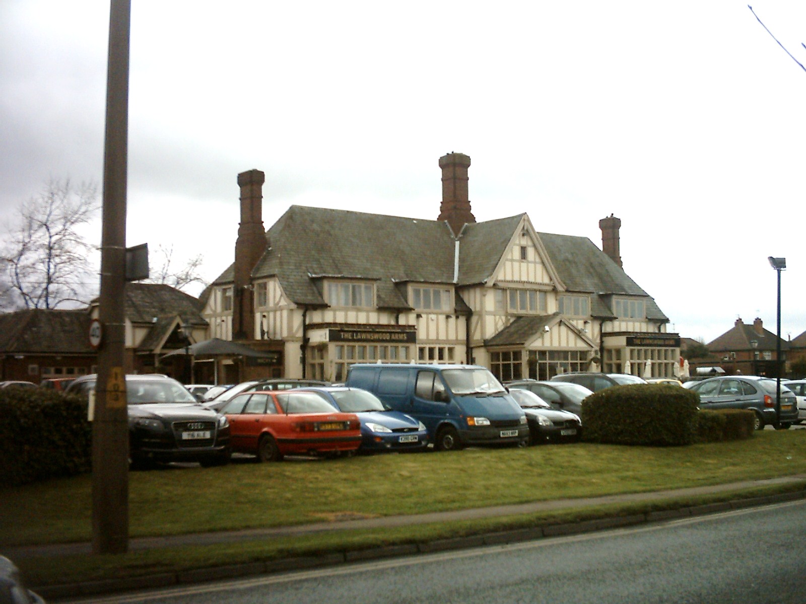
Adel Woods Images

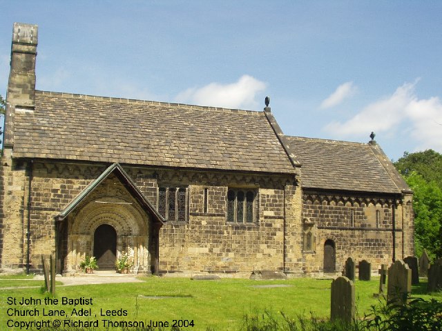
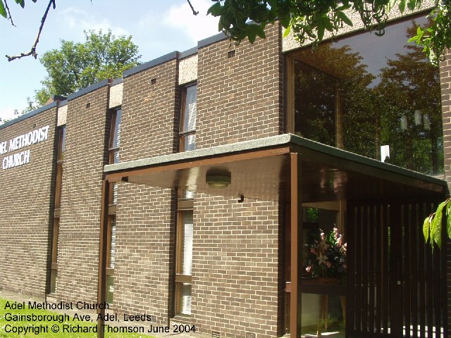
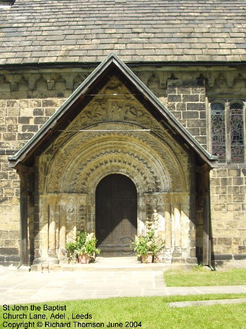
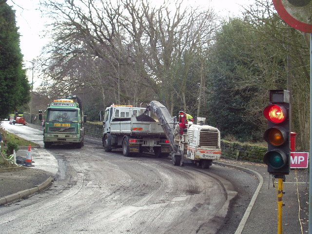
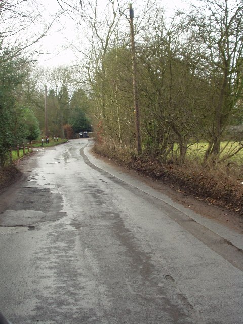
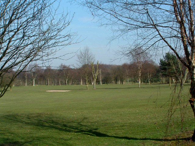
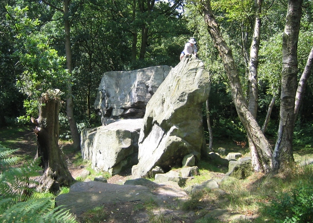
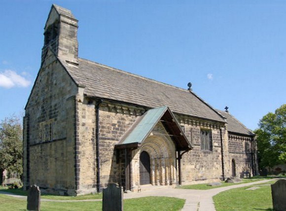
Images are sourced within 2km of 53.854319/-1.5706684 or Grid Reference SE2839. Thanks to Geograph Open Source API. All images are credited.

The Fairway - Alwoodley Lane
Alwoodley, Alwoodley Lane The benchmark is cut into the roadside wall on the north side of the road, and is immediately to the left of the entrance to number 177.
Alwoodley, Alwoodley Lane
The benchmark is cut into the roadside wall on the north side of the road, and is immediately to the left of the entrance to number 177.
Alwoodley, Alwoodley Lane There is a benchmark cut into the roadside wall on the north side of the road, and is immediately to the left of the wrought iron gate at the entrance to number 177.
Alwoodley, Alwoodley Lane
There is a benchmark cut into the roadside wall on the north side of the road, and is immediately to the left of the wrought iron gate at the entrance to number 177.
Dalesway A stile on the Dalesway close to Eccup Reservoir Leeds
Dalesway
A stile on the Dalesway close to Eccup Reservoir Leeds
Eccup Reservoir Lodge Goodrick Lodge at Eccup reservoir a fine building
Eccup Reservoir Lodge
Goodrick Lodge at Eccup reservoir a fine building
Frosty morning on Headingley Golf Course Not actually in Headingley - but situated between Adel, Alwoodley and Eccup Lane
Frosty morning on Headingley Golf Course
Not actually in Headingley - but situated between Adel, Alwoodley and Eccup Lane
St John The Baptist Church, Church Lane, Adel, Leeds This is one of the oldest churches in the Leeds area, dating back to Norman times (11th-12th century). Unusually for such an old church, it was not developed, enlarged or extended in Victorian times.
St John The Baptist Church, Church Lane, Adel, Leeds
This is one of the oldest churches in the Leeds area, dating back to Norman times (11th-12th century). Unusually for such an old church, it was not developed, enlarged or extended in Victorian times.
Adel Methodist Church, Holt Lane, Adel, Leeds
St John the Baptist Church, Church Lane, Adel, Leeds This church has a lovely Norman doorway.
St John the Baptist Church, Church Lane, Adel, Leeds
This church has a lovely Norman doorway.
Road repairs, Long Causeway, Adel, Leeds At the north end of Long Causeway, by its junction with Stairfoot Lane and Back Church Lane
Road repairs, Long Causeway, Adel, Leeds
At the north end of Long Causeway, by its junction with Stairfoot Lane and Back Church Lane
Stairfoot Lane, Alwoodley, Leeds Looking west towards Adel, near the junction of King Lane.
Stairfoot Lane, Alwoodley, Leeds
Looking west towards Adel, near the junction of King Lane.
Alwoodley Park. Looking SW down The Avenue, near the junction with The Drive and The Fairway.
Alwoodley Park.
Looking SW down The Avenue, near the junction with The Drive and The Fairway.
Sand Moor Golf Club Escaping from the suburbs of Leeds you pass the manicured fairways (and manicured trees) of Sand Moor
Sand Moor Golf Club
Escaping from the suburbs of Leeds you pass the manicured fairways (and manicured trees) of Sand Moor
Five Lane Ends The junction of five roads! Two lead north-east to Eccup, one south-east to Alwoodley, one south-west to Adel and one north-west to Bramhope.
Five Lane Ends
The junction of five roads! Two lead north-east to Eccup, one south-east to Alwoodley, one south-west to Adel and one north-west to Bramhope.
Bridge onto the dam, Golden Acre Park Lake At the south end of the dam.
Bridge onto the dam, Golden Acre Park Lake
At the south end of the dam.
Bridge over the sluice, Golden Acre Park Lake
Stream below the lake, Golden Acre Park Looking down from <a href="https://www.geograph.org.uk/photo/259538">SE2741 : Bridge over the sluice, Golden Acre Park Lake</a> at the stream as it flows out of the park and into Adel Dam nature reserve.
Stream below the lake, Golden Acre Park
Looking down from SE2741 : Bridge over the sluice, Golden Acre Park Lake at the stream as it flows out of the park and into Adel Dam nature reserve.
Adel Crag This famous rock outcrop in Adel Woods is a magnet for boys of all ages.
Adel Crag
This famous rock outcrop in Adel Woods is a magnet for boys of all ages.
Show me another place!

Adel Woods is located at Grid Ref: SE2839 (Lat: 53.854319, Lng: -1.5706684)

Division: West Riding

Unitary Authority: Leeds

Police Authority: West Yorkshire

What 3 Words

///sector.forget.cherry. Near Chapel Allerton, West Yorkshire

Related Wikis

Nearby Amenities

Located within 500m of 53.854319,-1.5706684
Bus Stop
Long Causeway East Moor Lane
Bus: yes
Local Ref: 45012354
Naptan AtcoCode: 450012354
Naptan Bearing: N
Naptan CommonName: Long Causeway East Moor Lane
Naptan Crossing: East Moor Lane
Naptan Indicator: Stop 45012354
Naptan PlusbusZoneRef: LEEDS
Naptan ShortCommonName: East Moor Lane
Naptan Street: Long Causeway
Naptan Verified: no
Public Transport: platform
Source: naptan_import
Lat/Long: 53.8534746/-1.5773298
Turning Circle
Lat/Long: 53.8545905/-1.5737981
Turning Circle
Lat/Long: 53.8547125/-1.5750719
Turning Circle
Lat/Long: 53.8557773/-1.5768448
Turning Circle
Lat/Long: 53.8521111/-1.5770389
Turning Circle
Lat/Long: 53.8546291/-1.5778855
Post Box
Brand: Royal Mail
Brand Wikidata: Q638098
Operator: Royal Mail
Operator Wikidata: Q638098
Post Box Type: lamp
Ref: LS16 359
Royal Cypher: EIIR
Royal Cypher Wikidata: Q33102113
Lat/Long: 53.8530855/-1.5776876
Turning Circle
Lat/Long: 53.8514588/-1.5733887
Adel Crags
Natural: rock
Sport: climbing
Lat/Long: 53.8575349/-1.5732492
Slabbering Baby
Natural: spring
Lat/Long: 53.8537737/-1.5691546
Adel wood store
Addr City: Leeds
Addr Housenumber: 43
Addr Postcode: LS16 8LA
Addr Street: Wayland Croft
Fhrs Id: 320388
Name En: Adel wood store
Opening Hours: Mo-Sa 07:00-20:00; Su 07:00-14:00
Phone: +44 113 267 1370
Shop: convenience
Lat/Long: 53.8530732/-1.5777536
Waste Basket
Collection Times: Mo; Fr
Ref UK Leedscc Bin: 2904
Lat/Long: 53.852888/-1.577667
Waste Basket
Collection Times: Mo; Fr
Ref UK Leedscc Bin: 2903
Lat/Long: 53.853036/-1.577568
Waste Basket
Collection Times: Mo; Fr
Condition: GOOD
Ref UK Leedscc Bin: 875
Waste Basket Model: METAL SQUARE
Lat/Long: 53.853836/-1.577245
Parking
Access: private
Parking: surface
Lat/Long: 53.8570699/-1.567895
Adel East Moor
Place: neighbourhood
Lat/Long: 53.8535487/-1.5750818
The data included in this document is from www.openstreetmap.org. The data is made available under ODbL.

Have you been to Adel Woods?

Leave your review of Adel Woods below (or comments, questions and feedback).