Adeney

Settlement in Shropshire

England

Adeney

Cornfield viewed from Hincks Brook Just over the footbridge on the north side of Hincks Brook, due north of Hincks Farm, looking towards Osierbed Covert.
Cornfield viewed from Hincks Brook Credit: ntso

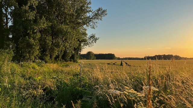
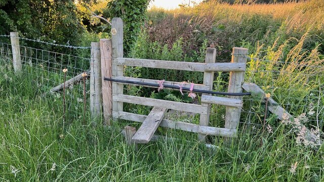
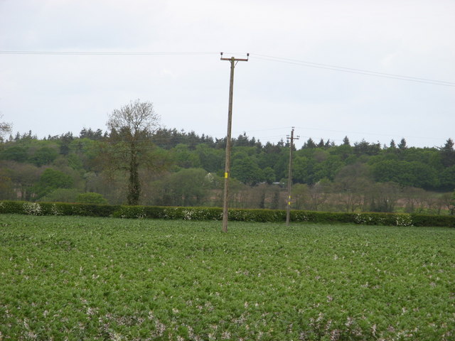
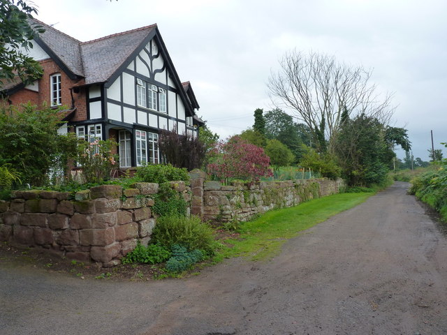
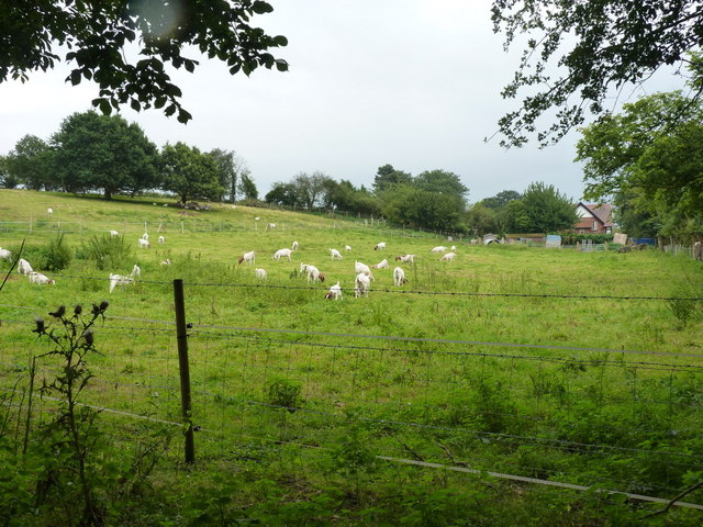
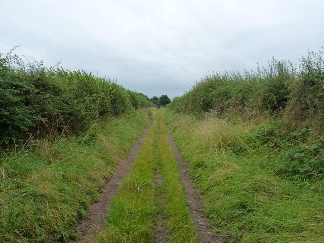
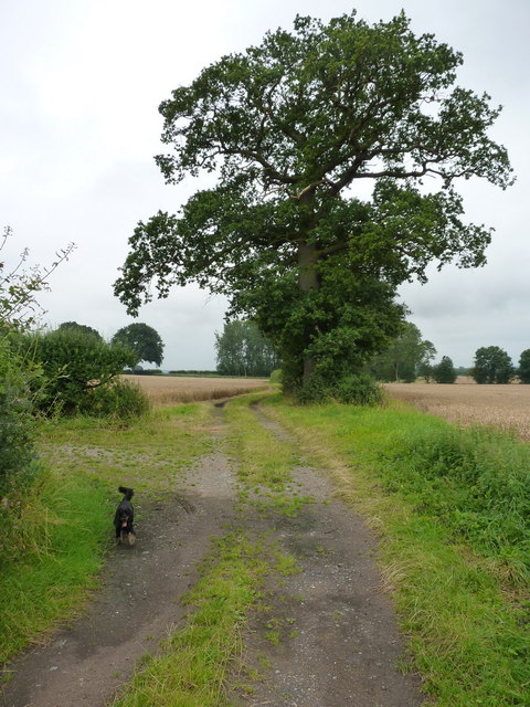
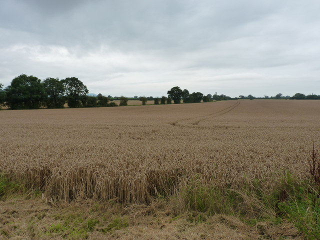
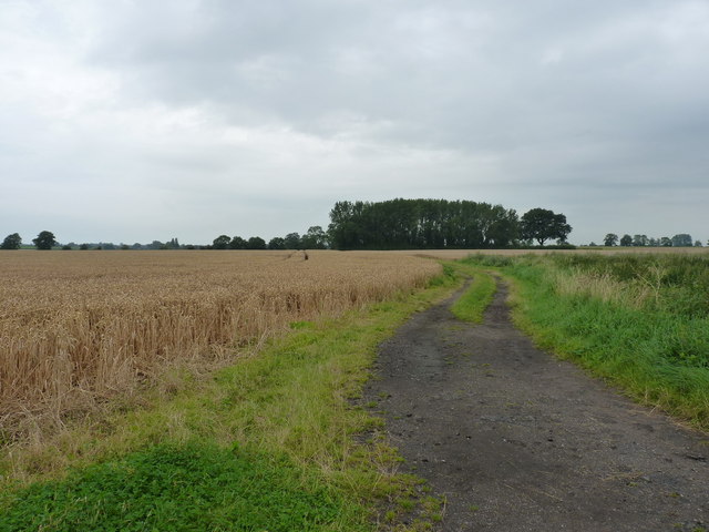
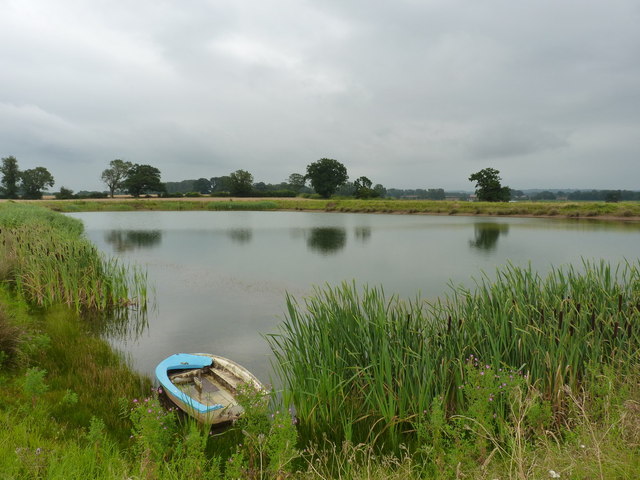
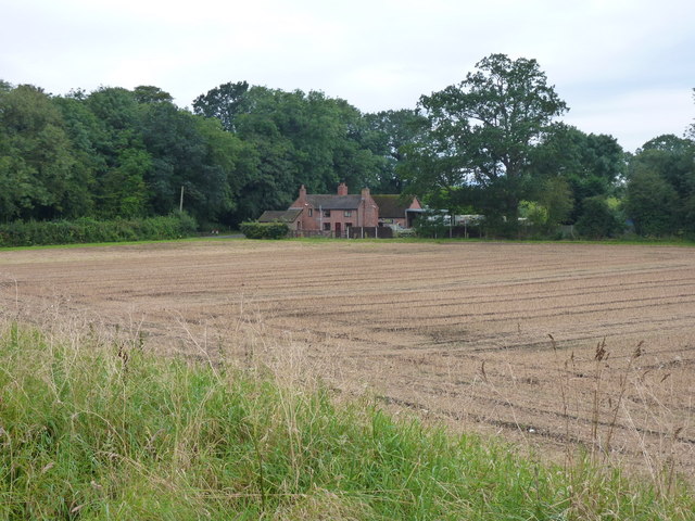
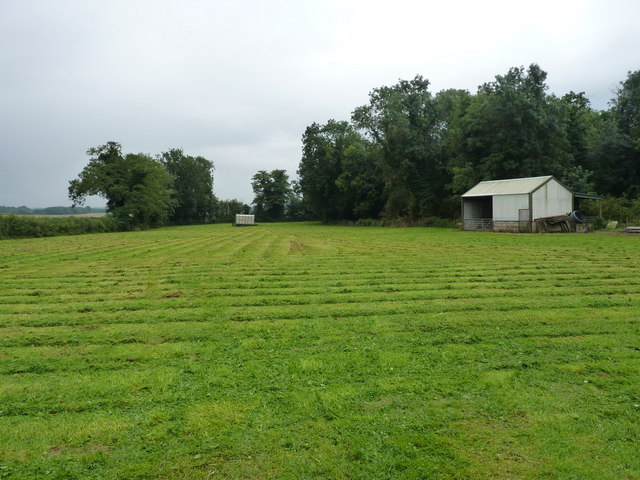
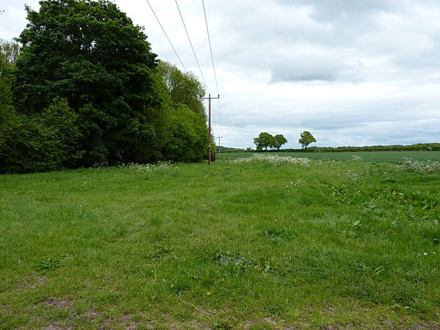
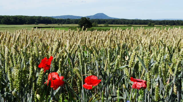
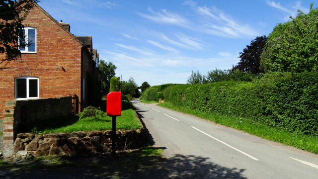
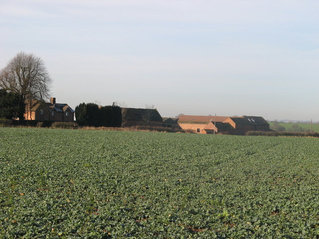
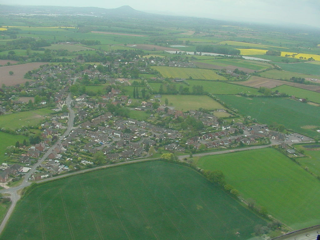
Adeney is a small village located in the county of Shropshire, England. Situated approximately 4 miles southeast of the town of Shrewsbury, Adeney is surrounded by picturesque countryside and offers a peaceful and rural setting for its residents.

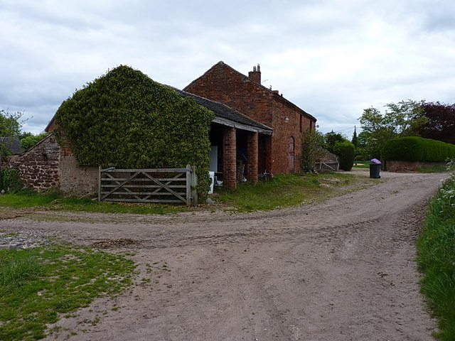
The village is home to a tight-knit community, with a population of around 200 people. Adeney consists of a handful of traditional stone houses, giving it a charming and quintessentially English feel. The village is known for its well-preserved historic buildings, including the Grade II listed St. Michael's Church, which dates back to the 12th century and attracts visitors interested in its architectural significance.

Despite its small size, Adeney benefits from several amenities that serve the local community. These include a village hall, which hosts various social events and gatherings, as well as a local pub that offers a warm and friendly atmosphere for both locals and visitors.

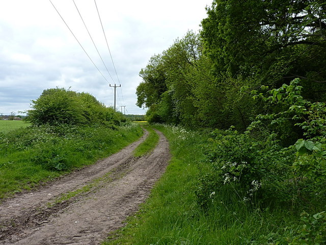
For those looking to explore the surrounding area, Adeney provides easy access to the beautiful Shropshire Hills, an Area of Outstanding Natural Beauty. The nearby town of Shrewsbury offers a wider range of amenities, including shops, restaurants, and cultural attractions.

In summary, Adeney is a charming and idyllic village in Shropshire, offering a tranquil and close-knit community, with historic buildings and easy access to the stunning countryside of the Shropshire Hills.

If you have any feedback on the listing, please let us know in the comments section below.

Adeney Images

Images are sourced within 2km of 52.762979/-2.443521 or Grid Reference SJ7018. Thanks to Geograph Open Source API. All images are credited.

Cornfield viewed from Hincks Brook Just over the footbridge on the north side of Hincks Brook, due north of Hincks Farm, looking towards Osierbed Covert.
Cornfield viewed from Hincks Brook
Just over the footbridge on the north side of Hincks Brook, due north of Hincks Farm, looking towards Osierbed Covert.
Stile and footbridge across Hincks Brook The public right of way goes over the stile and crosses Hincks Brook via a footbridge consisting of two planks of wood. Behind are the fields beyond.
Stile and footbridge across Hincks Brook
The public right of way goes over the stile and crosses Hincks Brook via a footbridge consisting of two planks of wood. Behind are the fields beyond.
Beans. A field of beans,near to Tibberton Manor.
Beans.
A field of beans,near to Tibberton Manor.
Barns at Forge Farm on the SW side of Edgmond The corrugated barn on the left appears to be a relatively recent addition - see <a href="https://www.geograph.org.uk/photo/832492">SJ7119 : Farm buildings at the edge of Edgmond</a> for comparison.
Barns at Forge Farm on the SW side of Edgmond
The corrugated barn on the left appears to be a relatively recent addition - see SJ7119 : Farm buildings at the edge of Edgmond for comparison.
Barnfield cottage outside Edgmond
A field of goats near Edgmond Sheep in fields are commonplace; goats rather less so.
A field of goats near Edgmond
Sheep in fields are commonplace; goats rather less so.
The track back into Edgmond A little-used farm track, which accesses the Birch Moors further to the west.
The track back into Edgmond
A little-used farm track, which accesses the Birch Moors further to the west.
Track on the Birch Moors The surrounding fields of wheat are ready for harvest.
Track on the Birch Moors
The surrounding fields of wheat are ready for harvest.
Wheat on the Birch Moors Large fields of wheat dominate this area.
Wheat on the Birch Moors
Large fields of wheat dominate this area.
Fields and farm track on the Birch Moors
Irrigation pool near Adeney A large pool, standing above the general level of the surrounding fields in its built embankment.
Irrigation pool near Adeney
A large pool, standing above the general level of the surrounding fields in its built embankment.
Brickkiln Cottages from the NE A view of the cottages from the edge of the nearby irrigation pool.
Brickkiln Cottages from the NE
A view of the cottages from the edge of the nearby irrigation pool.
Field barn and hayfield near Adeney
Barns at Cheswell Manor farm Victorian (?) era barns on the trackside at Cheswell
Barns at Cheswell Manor farm
Victorian (?) era barns on the trackside at Cheswell
Field access track beside Cheswell Wood Not strictly on a public right of way, but it's clearly used for tractor access to fields and a small barn to the west of the woodland, so I didn't feel too out of place riding a bike down here.
Field access track beside Cheswell Wood
Not strictly on a public right of way, but it's clearly used for tractor access to fields and a small barn to the west of the woodland, so I didn't feel too out of place riding a bike down here.
On the SE side of Cheswell Wood
Poppies & wheat field off Adeney Road, Edgmond & view to The Wrekin
Lane through Adeney near Edgmond
Show me another place!

Adeney is located at Grid Ref: SJ7018 (Lat: 52.762979, Lng: -2.443521)

Unitary Authority: Telford and Wrekin

Police Authority: West Mercia

What 3 Words

///displays.wrist.gallons. Near Edgmond, Shropshire

Nearby Locations

Adeney

Related Wikis

Adeney

Adeney is a hamlet in the English county of Shropshire, in the civil parish of Edgmond. Its name was formerly also spelt Adney, and derives from an Old...

St Peter's Church, Edgmond

St. Peter's Church is in the village of Edgmond, Shropshire, England. The church is an active Anglican parish church in the deanery of Edgmond and Shifnal...

Weald Moors

The Weald Moors are located in the ceremonial county of Shropshire north of Telford, stretching from north and west of the town of Newport towards Wellington...

Harper Adams University

Harper Adams University, founded in 1901 as Harper Adams College, is a public university located close to the village of Edgmond, near Newport, in Shropshire...

Cheswell, Shropshire

Cheswell is a hamlet in Shropshire, England on the edge of the Weald Moors. The settlement is overlooked by a rocky, sandstone edge called Cheswell Hill...

Edgmond

Edgmond is a village in the borough of Telford and Wrekin and ceremonial county of Shropshire, England. The village population at the 2011 Census was 2...

Talbot Chapel, Longford

Talbot Chapel is the remaining part of a redundant Anglican church in the village of Longford, Shropshire, England. It has been designated by English...

Longford, Telford and Wrekin

Longford is a village and former civil parish, now in the parish of Church Aston, in the Telford and Wrekin district, in the ceremonial county of Shropshire...

Nearby Amenities

Located within 500m of 52.762979,-2.443521
Give Way
Direction: backward
Lat/Long: 52.7621524/-2.4434609
The data included in this document is from www.openstreetmap.org. The data is made available under ODbL.

Have you been to Adeney?

Leave your review of Adeney below (or comments, questions and feedback).