Adeyfield
Settlement in Hertfordshire Dacorum
England
Adeyfield
Adeyfield is a residential area located in Hertfordshire, England. Situated to the east of Hemel Hempstead, it is part of the borough of Dacorum. With a population of approximately 10,000 people, Adeyfield is a thriving community with a range of amenities and services.
The area is characterized by its predominantly residential nature, with a mix of housing options including detached and semi-detached houses, as well as some apartment buildings. Adeyfield benefits from its proximity to the countryside, with several green spaces and parks nearby, providing opportunities for outdoor activities and recreation.
Adeyfield has a strong sense of community, with various local organizations and groups actively involved in enhancing residents' quality of life. These include community centers, sports clubs, and social clubs that organize events and activities for people of all ages.
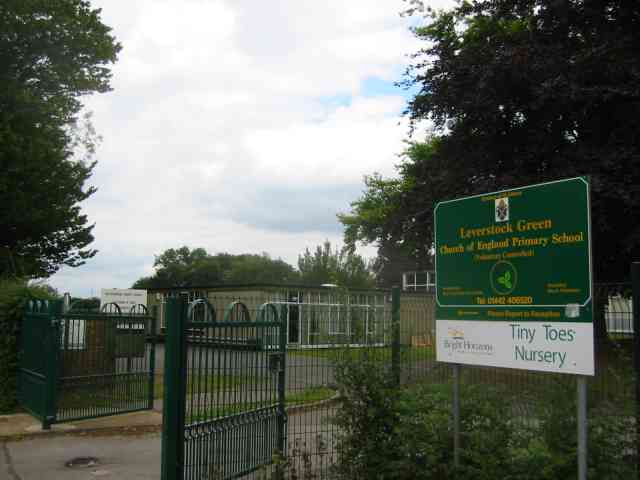
For educational needs, Adeyfield offers several primary schools within the area, providing a convenient option for families with young children. Secondary schools are also easily accessible, ensuring a comprehensive education for older students.
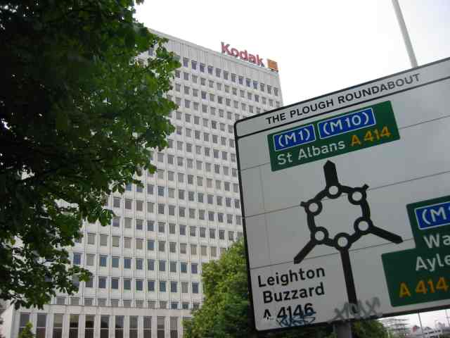
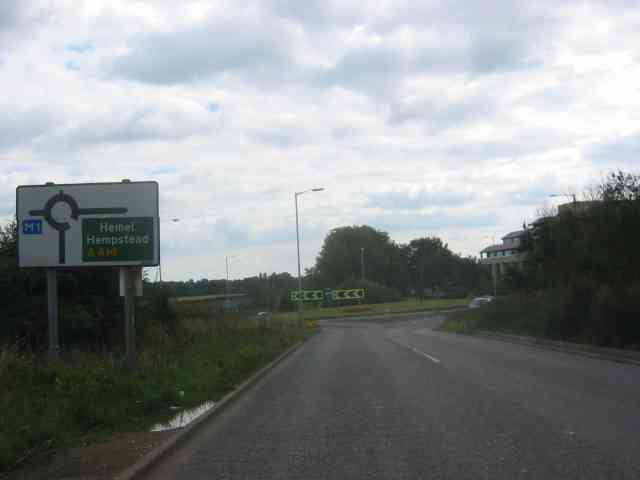
Transportation in Adeyfield is well-served, with regular bus services connecting the area to Hemel Hempstead town center and surrounding areas. The nearby A414 road provides easy access to major routes, including the M1 motorway, allowing for convenient commuting to other parts of Hertfordshire and beyond.
Overall, Adeyfield is a pleasant and family-friendly area with a strong community spirit, offering a range of amenities and services to cater to its residents' needs.
If you have any feedback on the listing, please let us know in the comments section below.
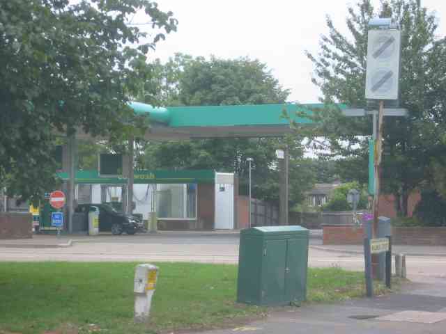
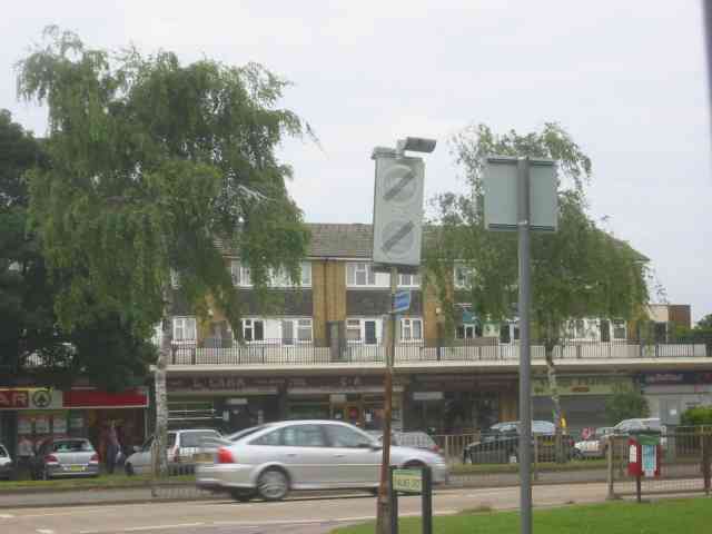
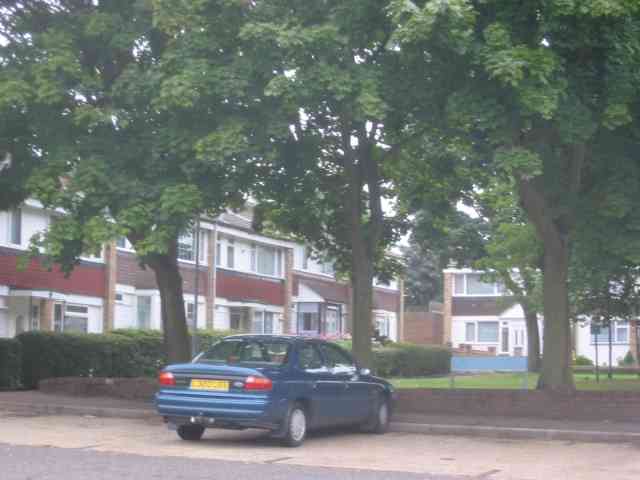
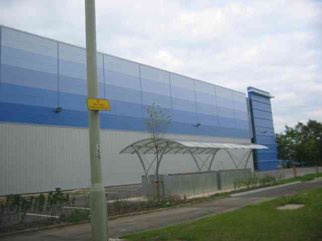
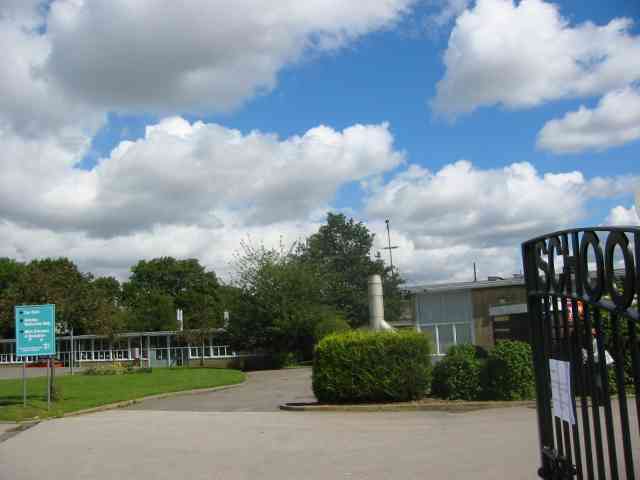
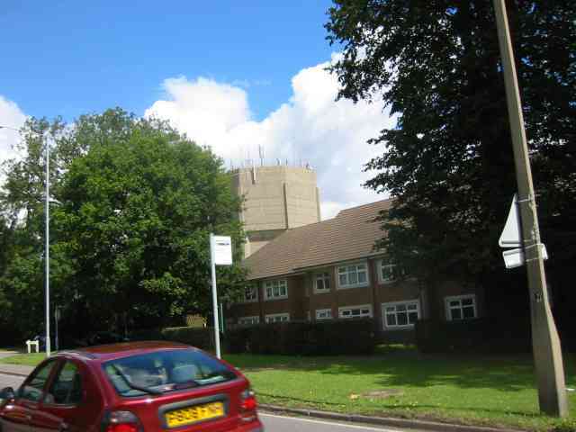
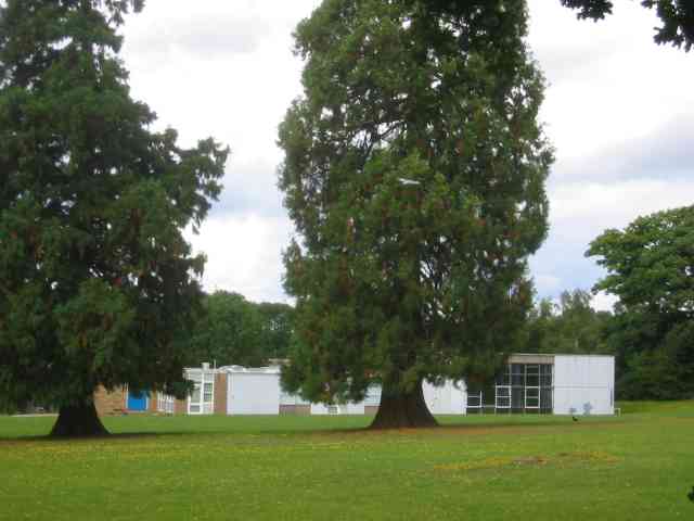
Adeyfield Images
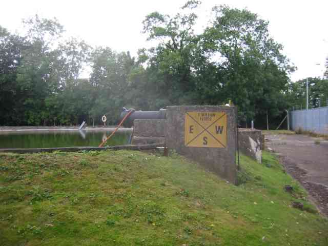
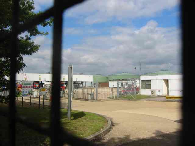
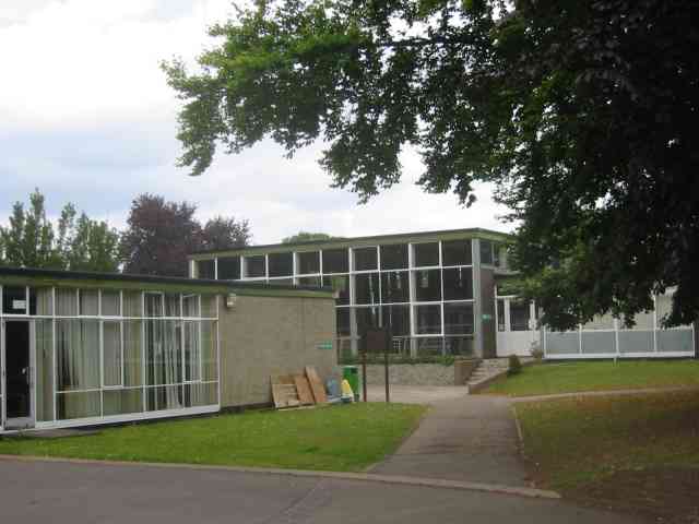
Images are sourced within 2km of 51.754583/-0.451231 or Grid Reference TL0707. Thanks to Geograph Open Source API. All images are credited.
Adeyfield is located at Grid Ref: TL0707 (Lat: 51.754583, Lng: -0.451231)
Administrative County: Hertfordshire
District: Dacorum
Police Authority: Hertfordshire
What 3 Words
///guides.onions.terms. Near Hemel Hempstead, Hertfordshire
Nearby Locations
Related Wikis

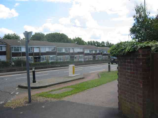
Adeyfield
Adeyfield was the first planned neighbourhood to be built in the postwar new town expansion of Hemel Hempstead, in the English county of Hertfordshire...

Adeyfield Academy
The Adeyfield Academy (formerly Adeyfield School) is an 11–18 mixed, secondary school and sixth form with academy status in Adeyfield, Hemel Hempstead...

Hemel Hempstead Town F.C.
Hemel Hempstead Town Football Club is a semi-professional football club based in Hemel Hempstead, Hertfordshire, England. Affiliated to the Hertfordshire...
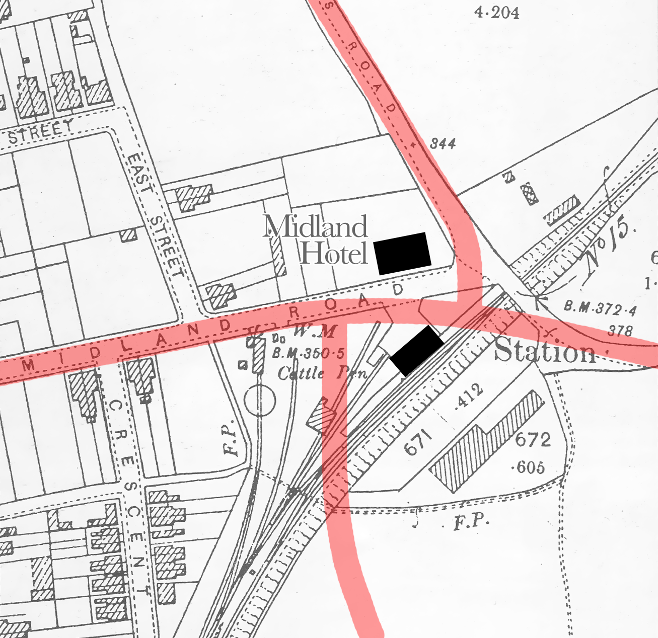
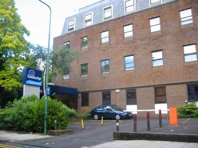
Hemel Hempsted railway station
Hemel Hempsted station was a railway station in the town of Hemel Hempstead in Hertfordshire, England. UK. It was opened in 1877 by the Midland Railway...
Woodhall Farm
Woodhall Farm is a neighbourhood on the northern side of Hemel Hempstead in the county of Hertfordshire. It was built on the former Brocks Fireworks site...
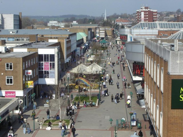
Hemel Hempstead
Hemel Hempstead () is a town in the Dacorum district in Hertfordshire, England. It is 24 miles (39 km) northwest of London, and is part of the Greater...

Grovehill
Grovehill is an area of Hemel Hempstead; it comprises two distinct developments. 'Precinct A' laid out and developed by the New Town Commission in 1967...
Highfield, Hertfordshire
Highfield is a neighbourhood district in Hemel Hempstead, Hertfordshire, United Kingdom. It was constructed on a green field site as part of the construction...
Nearby Amenities
Located within 500m of 51.754583,-0.451231Have you been to Adeyfield?
Leave your review of Adeyfield below (or comments, questions and feedback).