Adel
Settlement in Yorkshire
England
Adel
Adel is a picturesque village located in the northwestern outskirts of Leeds, West Yorkshire, England. Situated on the edge of the Yorkshire Dales, it is known for its tranquil and rural atmosphere, offering a peaceful retreat from the nearby bustling city.
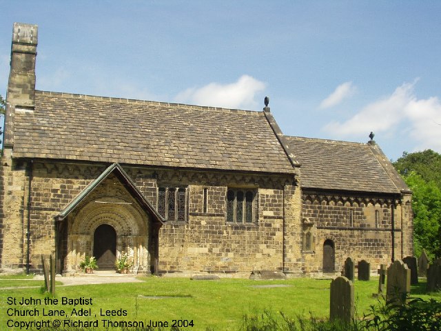
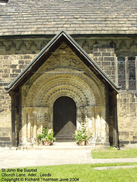
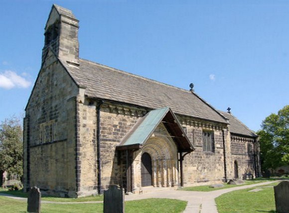
The village of Adel is steeped in history, with evidence of human settlement dating back to the Roman period. It is home to several historic landmarks, including the Grade I listed Adel Church, also known as St. John the Baptist Church, which dates back to the 12th century. The church features a stunning Norman doorway and beautiful stained glass windows.
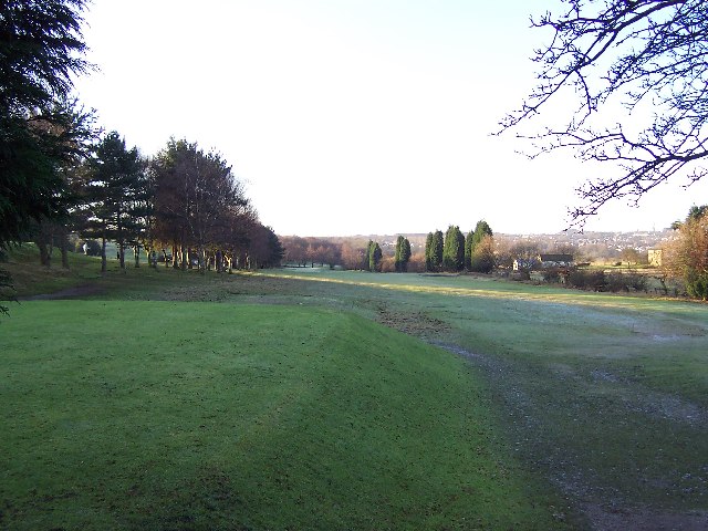
Adel is surrounded by open green spaces, providing ample opportunities for outdoor activities and leisurely walks. Adel Dam Nature Reserve, set within a former reservoir, is a popular spot for birdwatching and wildlife enthusiasts, with a variety of habitats that attract a range of species.
The village offers a range of amenities, including a selection of shops, cafes, and traditional pubs. There is also a highly regarded primary school, making Adel an attractive place for families.
With its close proximity to Leeds city center, Adel benefits from excellent transport links, including regular bus services. Additionally, the nearby Adel Lane Park and Ride facility offers a convenient option for commuters.
Overall, Adel offers a unique blend of historical charm, natural beauty, and modern conveniences, making it an appealing destination for both locals and visitors seeking a peaceful escape.
If you have any feedback on the listing, please let us know in the comments section below.
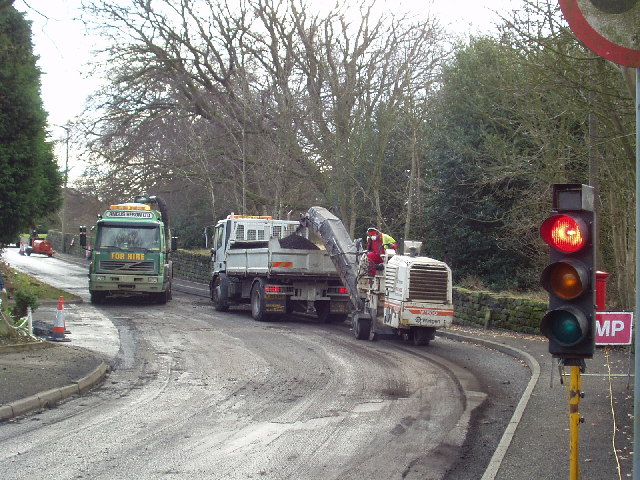
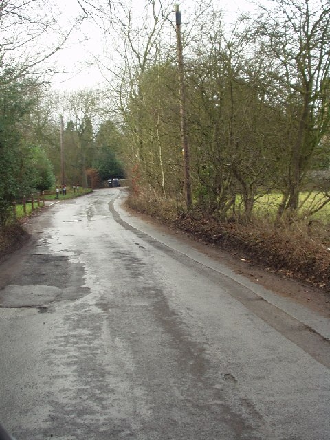
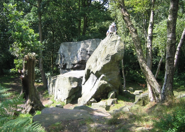
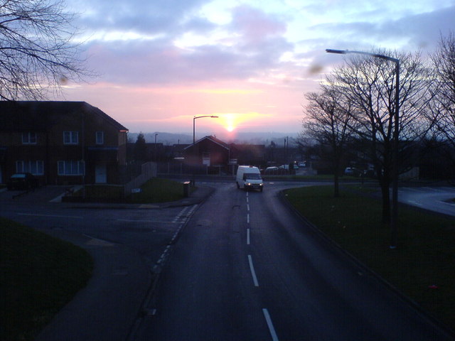
Adel Images
Images are sourced within 2km of 53.851908/-1.583442 or Grid Reference SE2739. Thanks to Geograph Open Source API. All images are credited.


Adel is located at Grid Ref: SE2739 (Lat: 53.851908, Lng: -1.583442)
Division: West Riding
Unitary Authority: Leeds
Police Authority: West Yorkshire
What 3 Words
///edgy.shack.crisp. Near Chapel Allerton, West Yorkshire
Nearby Locations
Related Wikis
Adel, Leeds
Adel is a suburb of Leeds, West Yorkshire, England. To its immediate south is Weetwood, to the west are Cookridge and Holt Park, to the east are Alwoodley...
St John the Baptist Church, Adel
The Grade I listed, mainly Norman Church of Saint John the Baptist in Adel, Leeds, West Yorkshire, England has been described by Nicholas Pevsner as 'one...

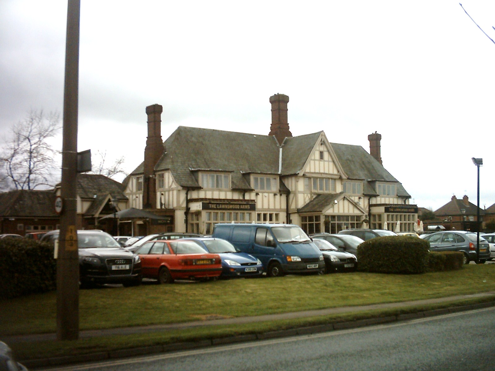
Lawnswood High School
Lawnswood High School was a girls' grammar school in Lawnswood, north Leeds, West Yorkshire, England, close to the A660. == History == In 1854 the Leeds...

Bodington Hall
Bodington Hall was the largest hall of residence of the University of Leeds, in Leeds, England. It was opened in 1961 and closed in 2013. The site still...
Lawnswood
Lawnswood is a small suburb in the north west of the city of Leeds in West Yorkshire, England. As such it is north north east of the West Yorkshire Urban...

Leeds North West (UK Parliament constituency)
Leeds North West is a constituency in the City of Leeds which has been represented in the House of Commons of the UK Parliament since 2017 by Alex Sobel...

Ireland Wood
Ireland Wood is a small residential area in north-west Leeds, West Yorkshire, England named after the Woodland Trust wood which it contains. It is approximately...

Leeds Outer Ring Road
The Leeds Outer Ring Road is a main road that runs around most of the perimeter of the city of Leeds, West Yorkshire, England. The ring road is approximately...
Nearby Amenities
Located within 500m of 53.851908,-1.583442Have you been to Adel?
Leave your review of Adel below (or comments, questions and feedback).