Addlethorpe
Settlement in Lincolnshire East Lindsey
England
Addlethorpe
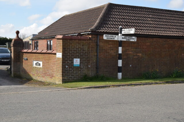
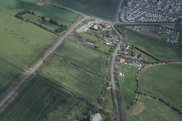
Addlethorpe is a small village located in the East Lindsey district of Lincolnshire, England. Situated approximately 7 miles north of Skegness, it is nestled between the coastal towns of Ingoldmells and Chapel St Leonards. With a population of around 500 residents, Addlethorpe offers a peaceful and rural setting.
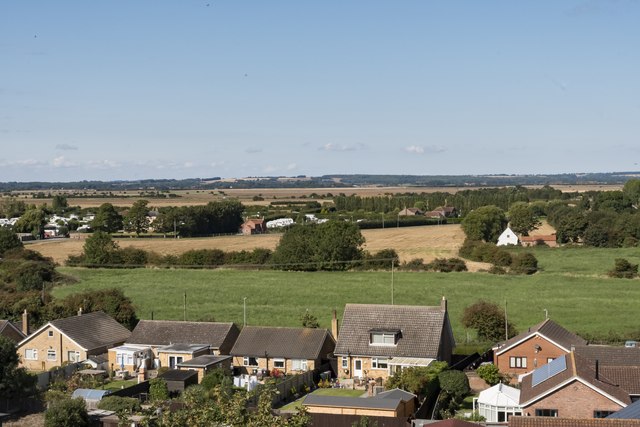
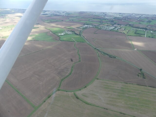
The village is known for its picturesque landscapes, characterized by open fields, farmlands, and meandering streams. The area is rich in agricultural heritage, with farming playing a significant role in the local economy. The fertile soil allows for the cultivation of crops such as wheat, barley, and potatoes.
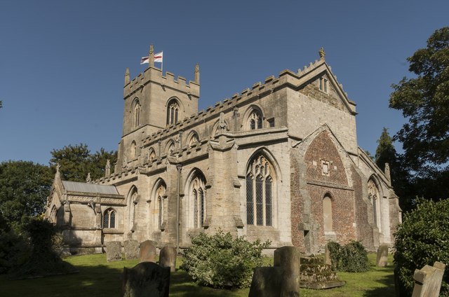
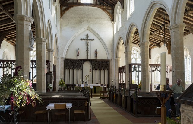
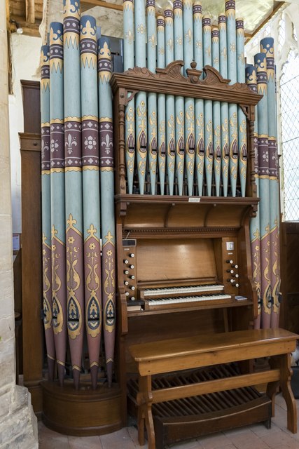
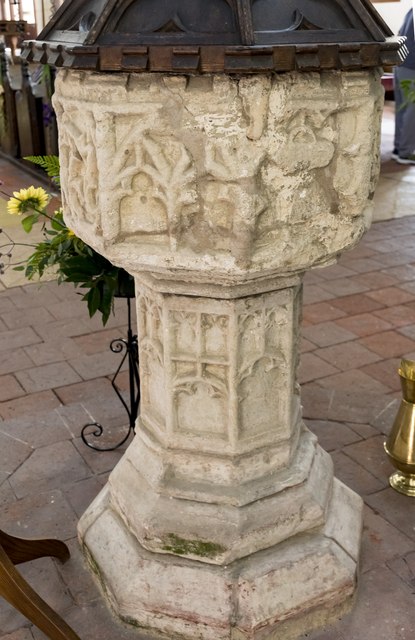
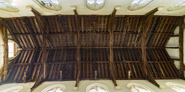
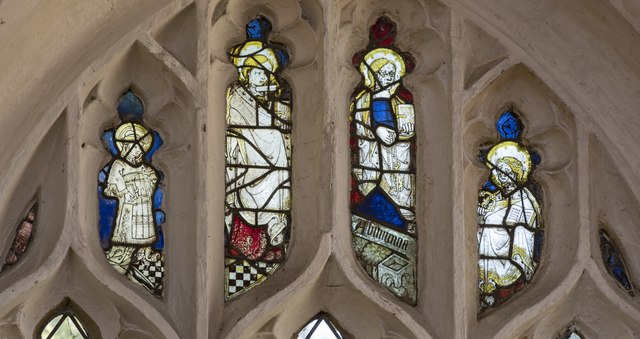
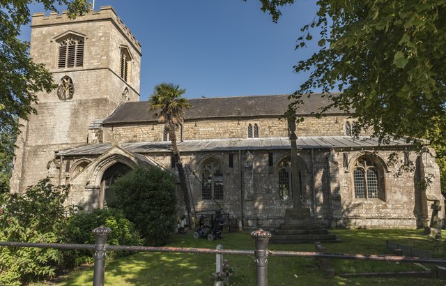
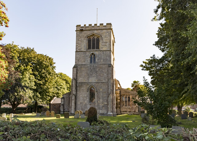
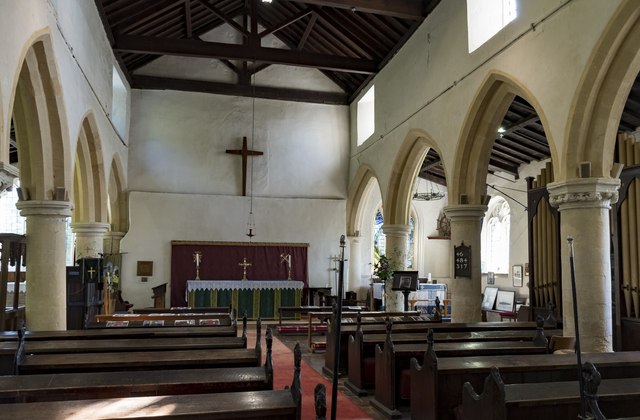
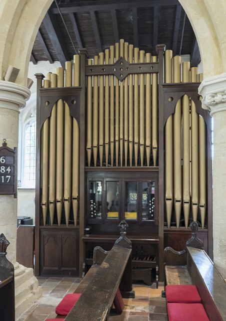
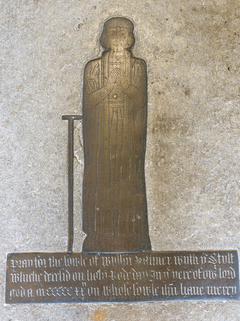
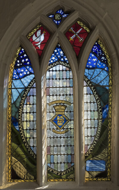
Addlethorpe is home to a charming 13th-century church, St. Nicholas Church, which stands as a testament to the area's long history. The church features stunning architectural details, including a tower with a spire and beautiful stained glass windows.
Despite its small size, Addlethorpe offers amenities for its residents and visitors. These include a local pub, The Bell Inn, which provides a cozy atmosphere for socializing and enjoying traditional pub fare. The village also has a primary school, ensuring educational facilities are available for young families.
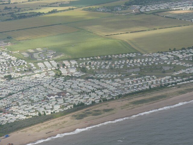
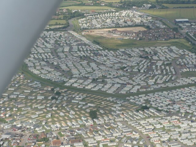
For those seeking recreational activities, Addlethorpe benefits from its proximity to the coast. The nearby sandy beaches of Skegness and Ingoldmells attract tourists during the summer months, offering opportunities for swimming, sunbathing, and other seaside activities. Additionally, nature enthusiasts can explore the surrounding countryside, with numerous walking trails and nature reserves in the vicinity.
Overall, Addlethorpe is a tranquil and idyllic village, offering a peaceful retreat from the hustle and bustle of larger towns and cities. Its rural charm, combined with its convenient location near the coast, makes it an appealing destination for both residents and visitors alike.
If you have any feedback on the listing, please let us know in the comments section below.
Addlethorpe Images
Images are sourced within 2km of 53.195013/0.317127 or Grid Reference TF5468. Thanks to Geograph Open Source API. All images are credited.
Addlethorpe is located at Grid Ref: TF5468 (Lat: 53.195013, Lng: 0.317127)
Division: Parts of Lindsey
Administrative County: Lincolnshire
District: East Lindsey
Police Authority: Lincolnshire
What 3 Words
///sandbags.diets.sculpture. Near Ingoldmells, Lincolnshire
Nearby Locations
Related Wikis
Addlethorpe
Addlethorpe is a small village situated just off the A52 west of Ingoldmells in the East Lindsey district of Lincolnshire, England. Addlethorpe is recorded...
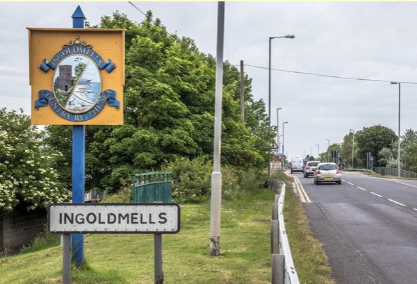
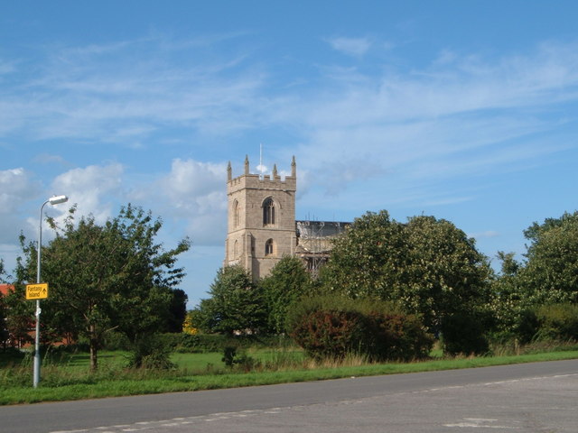
Ingoldmells
Ingoldmells ( ING-gə-melz) is a coastal village, civil parish and resort in the East Lindsey district of Lincolnshire, England. It is situated on the A52...
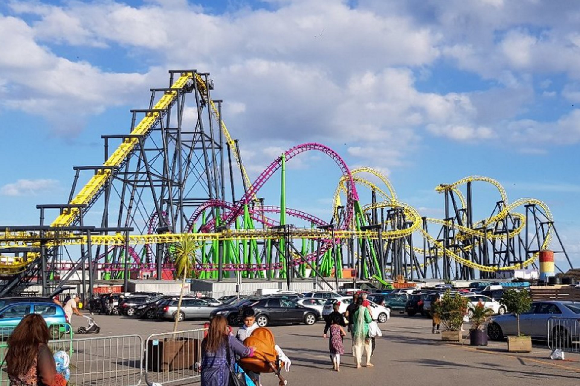
The Odyssey (UK Roller Coaster)
The Odyssey (formerly Jubilee Odyssey) is a roller coaster at Fantasy Island in Ingoldmells, England. Built by Vekoma of the Netherlands in 2002, it was...

Millennium Roller Coaster
Millennium (formerly Millennium Roller Coaster) is a roller coaster at Fantasy Island in Ingoldmells, United Kingdom. It was built by Vekoma, a Dutch roller...
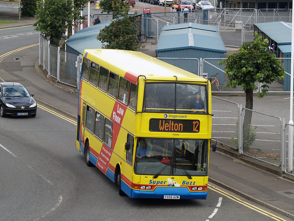
2004 Ingoldmells bus crash
At around 17:00 BST on 11 April 2004, a double-decker bus was involved in a collision with a car and a number of pedestrians outside the Fantasy Island...

Lincolnshire Coast Light Railway
The Lincolnshire Coast Light Railway is a 2 ft (610 mm) narrow gauge heritage railway built in 1960 using equipment from the Nocton Potato Estate railway...

Ashington End
Ashington End is a hamlet in the East Lindsey district of Lincolnshire, England. It is situated 3 miles (5 km) north-west from Skegness.

Skegness Stadium
Skegness Stadium is a short tarmac oval racing circuit used for stock car, banger racing and former greyhound racing and speedway stadium on Marsh Lane...
Related Videos

INGOLDMELLS | Fantasy Island Market near Skegness | Full Walking Tour!
We visit the Ingoldmells Market at Fantasy Island near Skegness for a walking tour around the market stalls and down to the rides ...
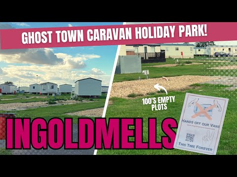
Ingoldmells: 'GHOST TOWN' Caravan Site | Kingfisher Caravan Park | Skegness
Hey guys! A recent rule change at one of Lincolnshire's best loved caravan parks has left the site resembling a ghost town. A new ...
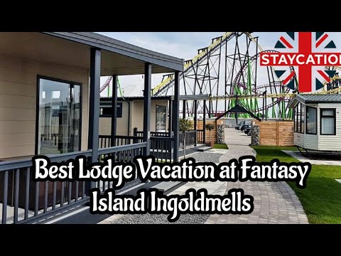
Best Lodge Vacation at Fantasy Island Ingoldmells nr Skegness
Best Lodge Vacation at Fantasy Island Ingoldmells nr Skegness We now upload a vlog Wednesday, Friday & Sunday. Let's do this ...

Ingoldmells: Anchor Lane | Promenade & Caravans | Skegness | Walking Tour *Low Season*
Hey Guys. In today's vlog I visit Ingoldmells, a coastal village, civil parish and resort in the East Lindsey district of Lincolnshire, ...
Nearby Amenities
Located within 500m of 53.195013,0.317127Have you been to Addlethorpe?
Leave your review of Addlethorpe below (or comments, questions and feedback).