Addlestonemoor

Settlement in Surrey Runnymede

England

Addlestonemoor

River Thames
River Thames Credit: Alex McGregor

Addlestonemoor is a charming village located in the county of Surrey, England. Situated on the outskirts of the town of Addlestone, this rural settlement is nestled amidst picturesque landscapes and offers a tranquil escape from the nearby urban areas.

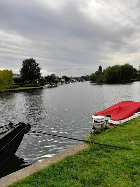
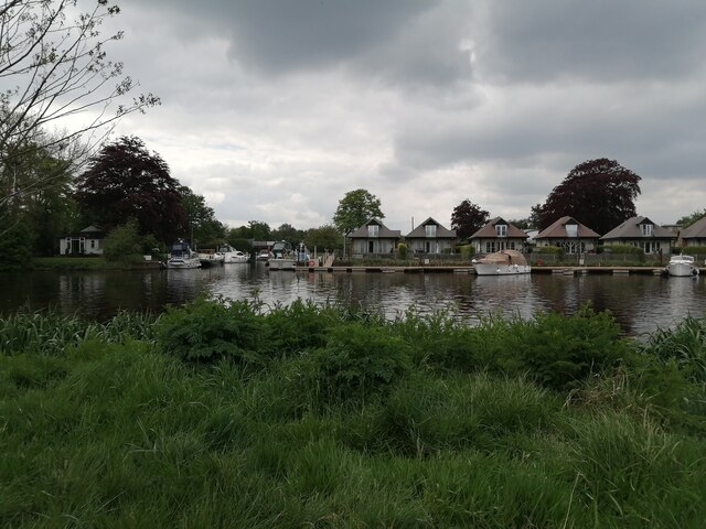
The village is renowned for its natural beauty, with vast stretches of open moorland and lush green fields. It is bordered by the River Bourne to the south, which adds to the scenic charm of the area. The moorland itself is a designated Site of Special Scientific Interest, boasting a rich biodiversity and serving as a habitat for various plant and animal species.

Despite its idyllic countryside setting, Addlestonemoor benefits from its close proximity to urban amenities. The nearby town of Addlestone provides residents with a range of facilities including shops, schools, and leisure activities. The village is well-connected to the surrounding areas by a network of roads and public transportation, making it easily accessible for both residents and visitors.

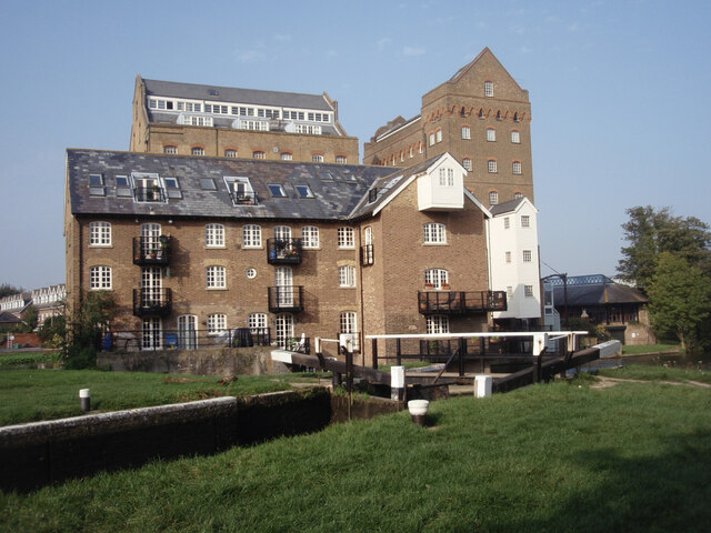
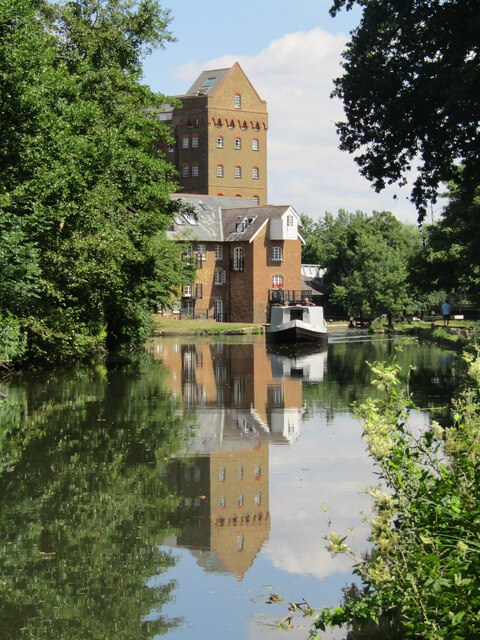
Historically, Addlestonemoor has a fascinating past, with evidence of human activity dating back to the Roman era. The village is home to several historic buildings, including the charming St. Paul's Church, which dates back to the 12th century. The village also boasts a strong sense of community, with various local events and activities organized throughout the year.

Addlestonemoor offers a peaceful and picturesque setting, making it an ideal place for nature lovers and those seeking a tranquil lifestyle. With its blend of natural beauty, historic charm, and convenient amenities, this village in Surrey has much to offer its residents and visitors alike.

If you have any feedback on the listing, please let us know in the comments section below.

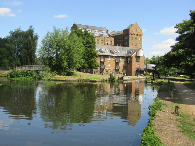
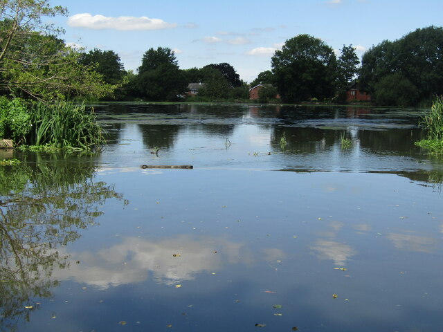
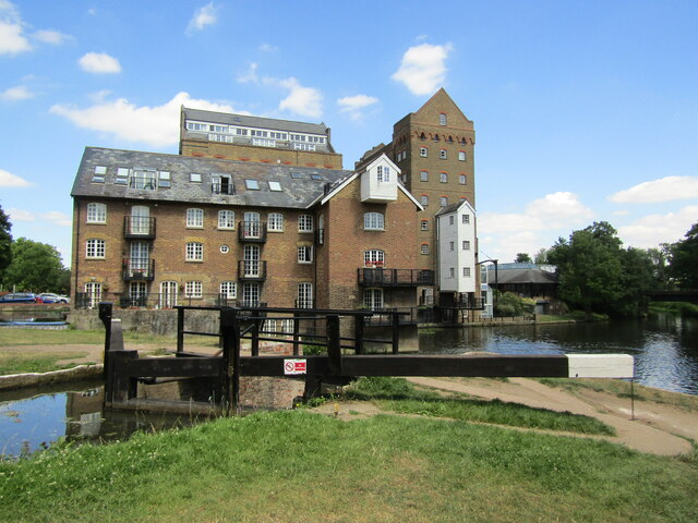
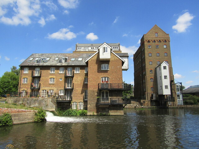
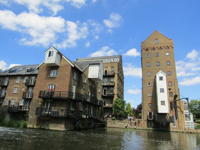
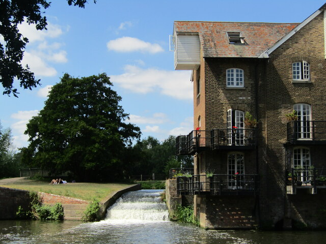
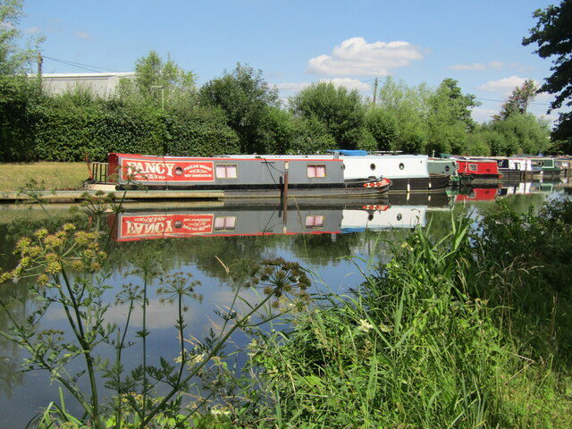
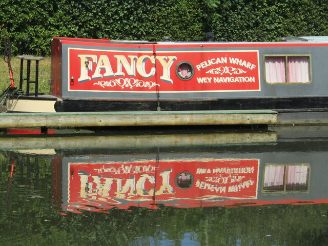
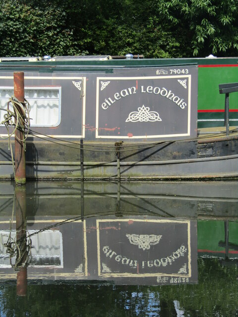
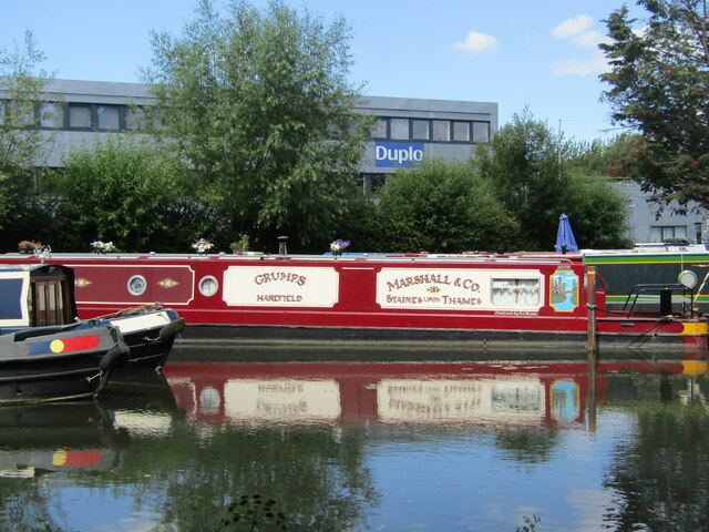
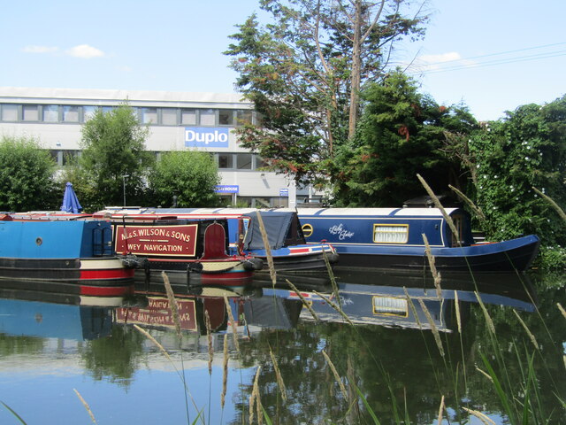
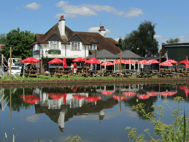
Addlestonemoor Images

Images are sourced within 2km of 51.380575/-0.491192 or Grid Reference TQ0565. Thanks to Geograph Open Source API. All images are credited.

River Thames
River Thames
Coxes Lock Mills The converted Mills at Coxes Lock, Weybridge.
Coxes Lock Mills
The converted Mills at Coxes Lock, Weybridge.
Entrance to Bates Wharf The entrance to Bates Wharf Marina, looking across the River Thames from a convenient bench
Entrance to Bates Wharf
The entrance to Bates Wharf Marina, looking across the River Thames from a convenient bench
Addlestone - Coxes Lock Mill Mill on the River Wey Navigation, first built 1776, rebuilt 1901, finally closed 1983. It has been an iron mill, silk mill and a flour mill before being converted to residential use.
<span class="nowrap"><a title="www.weyriver.co.uk" rel="nofollow ugc noopener" href="http://www.weyriver.co.uk">Link</a><img style="margin-left:2px;" alt="External link" title="External link - shift click to open in new window" src="https://s1.geograph.org.uk/img/external.png" width="10" height="10"/></span>
Addlestone - Coxes Lock Mill
Mill on the River Wey Navigation, first built 1776, rebuilt 1901, finally closed 1983. It has been an iron mill, silk mill and a flour mill before being converted to residential use. LinkExternal link
Addlestone - Coxes Mill Mill on the River Wey Navigation, first built 1776, rebuilt 1901, finally closed 1983. It has been an iron mill, silk mill and a flour mill before being converted to residential use.
<span class="nowrap"><a title="www.weyriver.co.uk" rel="nofollow ugc noopener" href="http://www.weyriver.co.uk">Link</a><img style="margin-left:2px;" alt="External link" title="External link - shift click to open in new window" src="https://s1.geograph.org.uk/img/external.png" width="10" height="10"/></span>
Addlestone - Coxes Mill
Mill on the River Wey Navigation, first built 1776, rebuilt 1901, finally closed 1983. It has been an iron mill, silk mill and a flour mill before being converted to residential use. LinkExternal link
Addlestone - Coxes Mill Pond On the River Wey Navigation immediately upstream of Coxes Lock and Coxes Mill. The large pond resolved fluctuating river levels caused by the lock operations.
<span class="nowrap"><a title="www.weyriver.co.uk" rel="nofollow ugc noopener" href="http://www.weyriver.co.uk">Link</a><img style="margin-left:2px;" alt="External link" title="External link - shift click to open in new window" src="https://s1.geograph.org.uk/img/external.png" width="10" height="10"/></span>
Addlestone - Coxes Mill Pond
On the River Wey Navigation immediately upstream of Coxes Lock and Coxes Mill. The large pond resolved fluctuating river levels caused by the lock operations. LinkExternal link
Addlestone - Coxes Lock and Mill Mill on the River Wey Navigation, first built 1776, rebuilt 1901, finally closed 1983. It had been an iron mill, silk mill and a flour mill before being converted to residential use.
<span class="nowrap"><a title="www.weyriver.co.uk" rel="nofollow ugc noopener" href="http://www.weyriver.co.uk">Link</a><img style="margin-left:2px;" alt="External link" title="External link - shift click to open in new window" src="https://s1.geograph.org.uk/img/external.png" width="10" height="10"/></span>
Addlestone - Coxes Lock and Mill
Mill on the River Wey Navigation, first built 1776, rebuilt 1901, finally closed 1983. It had been an iron mill, silk mill and a flour mill before being converted to residential use. LinkExternal link
Addlestone - Coxes Mill Mill on the River Wey Navigation, first built 1776, rebuilt 1901, finally closed 1983. It has been an iron mill, silk mill and a flour mill before being converted to residential use.
<span class="nowrap"><a title="www.weyriver.co.uk" rel="nofollow ugc noopener" href="http://www.weyriver.co.uk">Link</a><img style="margin-left:2px;" alt="External link" title="External link - shift click to open in new window" src="https://s1.geograph.org.uk/img/external.png" width="10" height="10"/></span>
Addlestone - Coxes Mill
Mill on the River Wey Navigation, first built 1776, rebuilt 1901, finally closed 1983. It has been an iron mill, silk mill and a flour mill before being converted to residential use. LinkExternal link
Addlestone - Coxes Mill Mill on the River Wey Navigation, first built 1776, rebuilt 1901, finally closed 1983. It had been an iron mill, silk mill and a flour mill before being converted to residential use.
<span class="nowrap"><a title="www.weyriver.co.uk" rel="nofollow ugc noopener" href="http://www.weyriver.co.uk">Link</a><img style="margin-left:2px;" alt="External link" title="External link - shift click to open in new window" src="https://s1.geograph.org.uk/img/external.png" width="10" height="10"/></span>
Addlestone - Coxes Mill
Mill on the River Wey Navigation, first built 1776, rebuilt 1901, finally closed 1983. It had been an iron mill, silk mill and a flour mill before being converted to residential use. LinkExternal link
Addlestone - River Wey Navigation Narrowboats moored at Hamm Moor, south of Weybridge.
<span class="nowrap"><a title="www.weyriver.co.uk" rel="nofollow ugc noopener" href="http://www.weyriver.co.uk">Link</a><img style="margin-left:2px;" alt="External link" title="External link - shift click to open in new window" src="https://s1.geograph.org.uk/img/external.png" width="10" height="10"/></span>
Addlestone - River Wey Navigation
Narrowboats moored at Hamm Moor, south of Weybridge. LinkExternal link
Addlestone - Fancy Narrowboat "Fancy" moored at Pelican Wharf on the River Wey Navigation south of Weybridge.
<span class="nowrap"><a title="www.weyriver.co.uk" rel="nofollow ugc noopener" href="http://www.weyriver.co.uk">Link</a><img style="margin-left:2px;" alt="External link" title="External link - shift click to open in new window" src="https://s1.geograph.org.uk/img/external.png" width="10" height="10"/></span>
Addlestone - Fancy
Narrowboat "Fancy" moored at Pelican Wharf on the River Wey Navigation south of Weybridge. LinkExternal link
Addlestone - Pelican Wharf Narrowboat "Cadia" and others moored at Hamm Moor on the River Wey Navigation.
<span class="nowrap"><a title="www.weyriver.co.uk" rel="nofollow ugc noopener" href="http://www.weyriver.co.uk">Link</a><img style="margin-left:2px;" alt="External link" title="External link - shift click to open in new window" src="https://s1.geograph.org.uk/img/external.png" width="10" height="10"/></span>
Addlestone - Pelican Wharf
Narrowboat "Cadia" and others moored at Hamm Moor on the River Wey Navigation. LinkExternal link
Addlestone - Eilean Leodhais Narrowboat "Eilean Leodhais" moored at Pelican Wharf, Hamm Moor, on the River Wey Navigation is a long way from the Isle of Lewis.
Addlestone - Eilean Leodhais
Narrowboat "Eilean Leodhais" moored at Pelican Wharf, Hamm Moor, on the River Wey Navigation is a long way from the Isle of Lewis.
Addlestone - Work and Play "Duplo" office block beside Pelican Wharf on the River Wey Navigation where narrowboat "Grumps" of Harefield is moored.
<span class="nowrap"><a title="www.weyriver.co.uk" rel="nofollow ugc noopener" href="http://www.weyriver.co.uk">Link</a><img style="margin-left:2px;" alt="External link" title="External link - shift click to open in new window" src="https://s1.geograph.org.uk/img/external.png" width="10" height="10"/></span>
Addlestone - Work and Play
"Duplo" office block beside Pelican Wharf on the River Wey Navigation where narrowboat "Grumps" of Harefield is moored. LinkExternal link
Weybridge - Wey Navigation Narrowboats moored at Pelican Wharf, Weybridge Business Park.
Weybridge - Wey Navigation
Narrowboats moored at Pelican Wharf, Weybridge Business Park.
Hamm Moor - The Pelican Pub with beer garden on the bank of the River Wey Navigation.
Hamm Moor - The Pelican
Pub with beer garden on the bank of the River Wey Navigation.
Show me another place!

Addlestonemoor is located at Grid Ref: TQ0565 (Lat: 51.380575, Lng: -0.491192)

Administrative County: Surrey

District: Runnymede

Police Authority: Surrey

What 3 Words

///burns.rocks.inform. Near Addlestone, Surrey

Nearby Locations

Addlestonemoor

Related Wikis

Abbey Rangers F.C.

Abbey Rangers Football Club is a football club based in Addlestone, England. The club are currently members of the Combined Counties League Premier Division...

Chertsey High School

Chertsey High School is a co-educational secondary free school located on Chertsey Road in Addlestone, Surrey, England. The school was opened on 6 September...

Addlestone railway station

Addlestone railway station serves the town of Addlestone in the Runnymede District of Surrey, England. It is located on the Chertsey Branch Line and is...
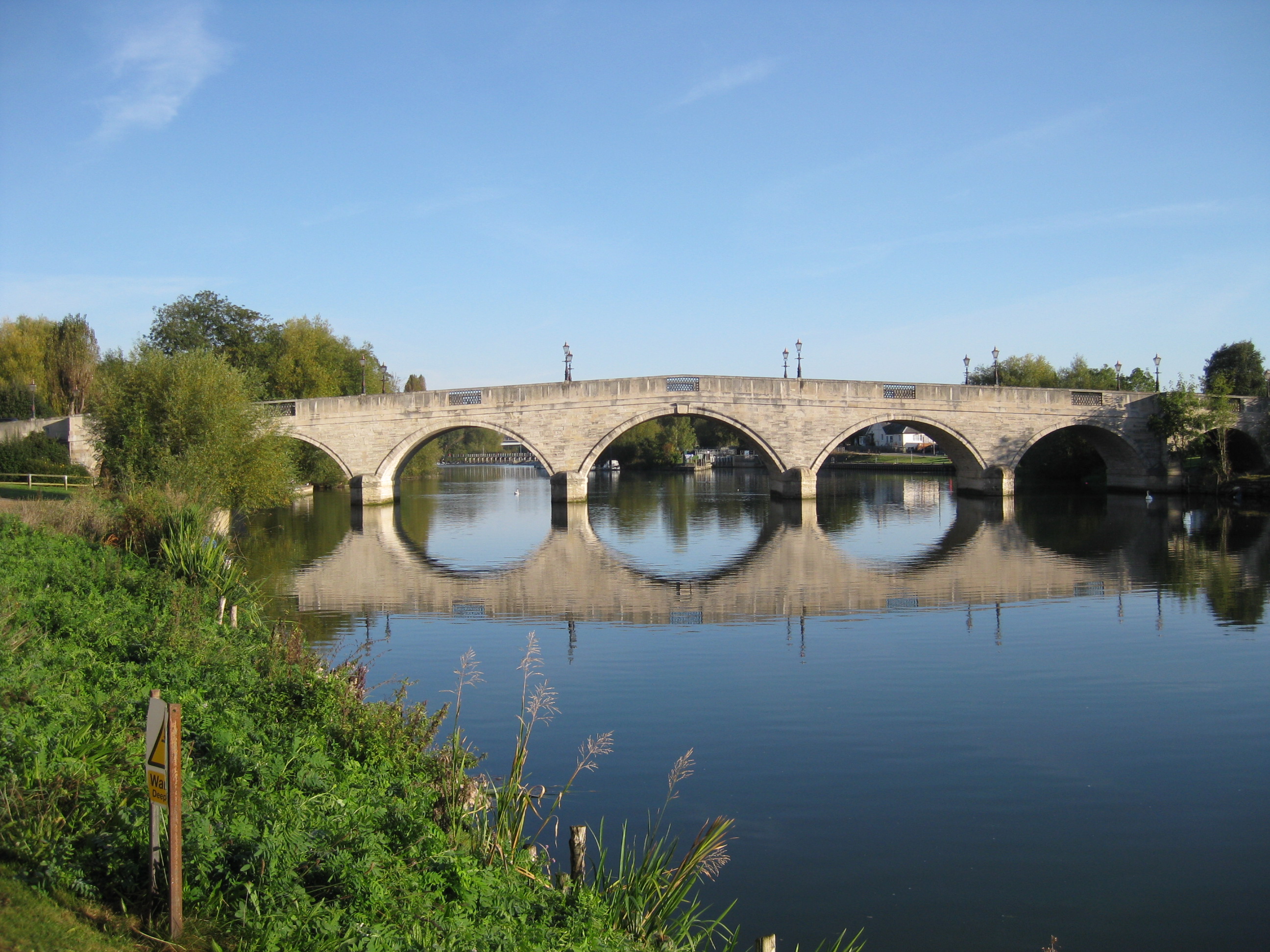
Chertsey Bridge

Chertsey Bridge is a road bridge across the River Thames in England, connecting Chertsey to low-lying riverside meadows in Laleham, Surrey. It is 550 yards...

St George's College, Weybridge

St George's Weybridge is an independent mixed Roman Catholic co-educational Josephite day school in Surrey, taking pupils from 3 to 18. St George's Weybridge...
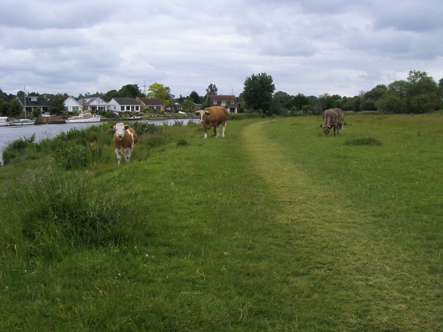
Dumsey Meadow

Dumsey Meadow is a 9.6-hectare (24-acre) biological Site of Special Scientific Interest between Chertsey and Shepperton in Surrey.It is the only piece...

Chertsey Meads

Chertsey Meads is a 41-hectare (100-acre) Local Nature Reserve east of Chertsey in Surrey. It is owned and managed by Runnymede Borough Council.This is...

River Bourne, Chertsey

The River Bourne or the Chertsey Bourne is in Berkshire and Surrey; it runs from sources in Windsor Great Park and Swinley Forest through to the River...

Nearby Amenities

Located within 500m of 51.380575,-0.491192
Barrier: bollard
Bicycle: yes
Foot: yes
Lat/Long: 51.3804625/-0.4880757
Power: tower
Lat/Long: 51.3783272/-0.4951741
Power: tower
Lat/Long: 51.3797575/-0.4910028
Power: tower
Lat/Long: 51.381145/-0.48684
Pub
The George
Closed: yes
Disused: yes
Wikidata: Q26280339
Lat/Long: 51.3768447/-0.4930858
Crossing
Bicycle: yes
Crossing: unmarked
Kerb: lowered
Sloped Curb: yes
Lat/Long: 51.3788865/-0.4854179
Barrier: cycle_barrier
Bicycle: yes
Foot: yes
Lat/Long: 51.3841371/-0.4885811
Barrier: cycle_barrier
Bicycle: yes
Foot: yes
Lat/Long: 51.3822009/-0.4886816
Post Box
Collection Times: Mo-Fr 17:30
Ref: KT16 22
Lat/Long: 51.3837727/-0.4946017
Bus Stop
Roakes Avenue
Naptan AtcoCode: 40004401114A
Naptan Bearing: N
Naptan CommonName: Roakes Avenue
Naptan Indicator: Just after
Naptan Landmark: Roakes Avenue
Naptan NaptanCode: surapmgp
Naptan Street: Chertsey Road
Naptan Verified: no
Public Transport: platform
Source: naptan_import
Lat/Long: 51.3820575/-0.4943782
Bus Stop
Clay Corner
Naptan AtcoCode: 40004401114B
Naptan Bearing: NW
Naptan CommonName: Clay Corner
Naptan Indicator: Just after
Naptan Landmark: Clay Corner
Naptan NaptanCode: suraptgm
Naptan Street: Eastworth Road
Naptan Verified: no
Public Transport: platform
Shelter: no
Source: naptan_import
Lat/Long: 51.383808/-0.4959583
Bus Stop
Roakes Avenue
Naptan AtcoCode: 40004401114C
Naptan Bearing: S
Naptan BusStopType: CUS
Naptan CommonName: Roakes Avenue
Naptan Indicator: Just before
Naptan Landmark: Roakes Avenue
Naptan NaptanCode: surgtajw
Naptan Street: Chertsey Road
Naptan Verified: no
Public Transport: platform
Source: naptan_import
Lat/Long: 51.3820033/-0.4939999
Bus Stop
Clay Corner
Bench: yes
Naptan AtcoCode: 40004401115A
Naptan Bearing: S
Naptan CommonName: Clay Corner
Naptan Indicator: Opp
Naptan Landmark: Clay Corner
Naptan NaptanCode: suraptgw
Naptan Street: Chertsey Road
Naptan Verified: no
Public Transport: platform
Shelter: yes
Source: naptan_import
Lat/Long: 51.3832243/-0.4942129
Barrier: bollard
Lat/Long: 51.3813811/-0.4932528
Traffic Signals
Source: SAS
Traffic Signals Direction: forward
Lat/Long: 51.3815283/-0.4939384
Traffic Signals
Source: SAS
Traffic Signals Direction: forward
Lat/Long: 51.3817135/-0.4938815
Crossing
Bicycle: yes
Crossing: traffic_signals
Crossing Ref: toucan
Kerb: lowered
Source: SAS
Lat/Long: 51.3816723/-0.4938458
Traffic Signals
Source: SAS
Traffic Signals Direction: forward
Lat/Long: 51.3834598/-0.4943665
Crossing
Crossing: traffic_signals
Crossing Ref: pelican
Kerb: lowered
Sloped Curb: yes
Source: Local Knowledge
Lat/Long: 51.3835178/-0.4944759
Traffic Signals
Source: Local Knowledge
Traffic Signals Direction: forward
Lat/Long: 51.3836783/-0.4941932
Crossing
Crossing: uncontrolled
Kerb: lowered
Sloped Curb: yes
Source: SAS
Lat/Long: 51.3837166/-0.4943973
Fire Station
Chertsey fire station
Source: survey
Lat/Long: 51.3816873/-0.4896732
School
Philip Southcote School
Source: survey
Wikidata: Q66227557
Lat/Long: 51.3824598/-0.4892116
Traffic Signals
Source: Local Knowledge
Traffic Signals Direction: forward
Lat/Long: 51.3836572/-0.4944784
Crossing
Crossing: unmarked
Kerb: lowered
Sloped Curb: yes
Source: SAS
Lat/Long: 51.3841812/-0.4938867
Crossing
Crossing: traffic_signals
Crossing Ref: pelican
Kerb: lowered
Sloped Curb: yes
Source: SAS
Lat/Long: 51.3836374/-0.4943917
Crossing
Crossing: traffic_signals
Crossing Ref: pelican
Kerb: lowered
Sloped Curb: yes
Source: SAS
Lat/Long: 51.3836619/-0.4942961
Crossing
Crossing: traffic_signals
Crossing Ref: pelican
Kerb: lowered
Sloped Curb: yes
Source: SAS
Lat/Long: 51.3836523/-0.4941992
Traffic Signals
Source: SAS
Traffic Signals Direction: forward
Lat/Long: 51.3835005/-0.4944627
Crossing
Bicycle: yes
Crossing: traffic_signals
Crossing Ref: toucan
Kerb: lowered
Source: SAS
Tactile Paving: yes
Lat/Long: 51.3815628/-0.4939697
Crossing
Bicycle: yes
Crossing: unmarked
Kerb: lowered
Sloped Curb: yes
Source: SAS
Lat/Long: 51.3823196/-0.4941503
Crossing
Crossing: unmarked
Crossing Island: no
Kerb: lowered
Source: SAS
Lat/Long: 51.3813655/-0.494123
Turning Circle
Lat/Long: 51.3801799/-0.4934627
Crossing
Bicycle: yes
Crossing: unmarked
Kerb: lowered
Sloped Curb: yes
Source: SAS;survey
Lat/Long: 51.377783/-0.4929379
Crossing
Bicycle: yes
Crossing: unmarked
Kerb: lowered
Sloped Curb: yes
Source: SAS;survey
Lat/Long: 51.3790877/-0.4930744
Crossing
Crossing: unmarked
Kerb: lowered
Sloped Curb: yes
Source: SAS;survey
Lat/Long: 51.3773395/-0.4929509
Crossing
Crossing: unmarked
Kerb: lowered
Sloped Curb: yes
Source: SAS
Lat/Long: 51.3762482/-0.4930904
Give Way
Direction: forward
Lat/Long: 51.3806711/-0.4923689
Man Made: storage_tank
Lat/Long: 51.3768019/-0.492113
Man Made: storage_tank
Lat/Long: 51.3767989/-0.4920866
Crossing
Crossing: unmarked
Kerb: lowered
Sloped Curb: yes
Source: Surrey-Air_Survey
Lat/Long: 51.3790808/-0.4928782
Barrier: kerb
Lat/Long: 51.3813755/-0.4942366
Barrier: bollard
Lat/Long: 51.3815445/-0.4940992
Crossing
Crossing: pavement
Kerb: lowered
Source: Surrey-Air_Survey
Lat/Long: 51.381304/-0.4931746
Give Way
Direction: forward
Source: Surrey-Air_Survey
Lat/Long: 51.3814253/-0.4915394
Give Way
Direction: forward
Source: Surrey-Air_Survey
Lat/Long: 51.3814037/-0.4916191
Give Way
Direction: backward
Source: Surrey-Air_Survey
Lat/Long: 51.381486/-0.4911973
Give Way
Direction: backward
Source: Surrey-Air_Survey
Lat/Long: 51.3812966/-0.4914563
Crossing
Bicycle: yes
Crossing: unmarked
Kerb: lowered
Sloped Curb: yes
Lat/Long: 51.3792601/-0.4859907
Crossing
Crossing: unmarked
Kerb: lowered
Sloped Curb: yes
Lat/Long: 51.3792094/-0.4860581
Crossing
Bicycle: yes
Crossing: unmarked
Kerb: lowered
Sloped Curb: yes
Lat/Long: 51.3787748/-0.4852308
Turning Circle
Lat/Long: 51.3770511/-0.4924643
Turning Circle
Lat/Long: 51.3801896/-0.4846411
Entrance: main
Lat/Long: 51.3829198/-0.4933673
Man Made: mast
Tower Type: lighting
Lat/Long: 51.3838274/-0.4927285
Man Made: mast
Tower Type: lighting
Lat/Long: 51.3836571/-0.4926682
Man Made: mast
Tower Type: lighting
Lat/Long: 51.3829507/-0.4912367
Man Made: mast
Tower Type: lighting
Lat/Long: 51.3826657/-0.4911363
Man Made: mast
Tower Type: lighting
Lat/Long: 51.3823622/-0.4910263
Man Made: mast
Tower Type: lighting
Lat/Long: 51.3820722/-0.4909234
Man Made: mast
Tower Type: lighting
Lat/Long: 51.3819272/-0.4919892
Man Made: mast
Tower Type: lighting
Lat/Long: 51.3822123/-0.4920975
Man Made: mast
Tower Type: lighting
Lat/Long: 51.3825196/-0.4922068
Man Made: mast
Tower Type: lighting
Lat/Long: 51.3827993/-0.492305
Information: route_marker
Source: GPS survey
Tourism: information
Lat/Long: 51.3837425/-0.4874875
Bench
Backrest: no
Material: wood
Source: GPS survey
Lat/Long: 51.382949/-0.4854557
Information: route_marker
Source: GPS survey
Tourism: information
Lat/Long: 51.3831817/-0.4855362
Barrier: cycle_barrier
Lat/Long: 51.3818722/-0.4887937
Waste Basket
Lat/Long: 51.3826569/-0.4879515
Barrier: cycle_barrier
Lat/Long: 51.3841173/-0.4885199
Information: route_marker
Source: GPS survey
Tourism: information
Lat/Long: 51.3846079/-0.4883042
Bench
Backrest: yes
Source: GPS
Lat/Long: 51.3831549/-0.4942077
Bicycle: yes
Information: guidepost
Source: GPS
Tourism: information
Lat/Long: 51.3816859/-0.4935372
Clay Corner
Place: locality
Lat/Long: 51.3836007/-0.494354
Give Way
Direction: forward
Lat/Long: 51.3837685/-0.4942906
Speed Camera
Direction: forward
Lat/Long: 51.3832635/-0.4944117
Board Type: notice
Information: board
Tourism: information
Lat/Long: 51.3837729/-0.4945282
Waste Basket
Lat/Long: 51.3837851/-0.4944753
Waste Basket
Lat/Long: 51.3838001/-0.4944292
Budgens
Addr Postcode: KT15 2ED
Addr Street: Chertsey Road
Brand: Budgens
Brand Wikidata: Q4985016
Opening Hours: 24/7
Shop: convenience
Website: https://www.budgens.co.uk/our-stores/shell-addlestone
Lat/Long: 51.3766158/-0.4922242
Give Way
Direction: forward
Lat/Long: 51.3803819/-0.4930062
The data included in this document is from www.openstreetmap.org. The data is made available under ODbL.

Have you been to Addlestonemoor?

Leave your review of Addlestonemoor below (or comments, questions and feedback).