River
Settlement in Kent Dover
England
River
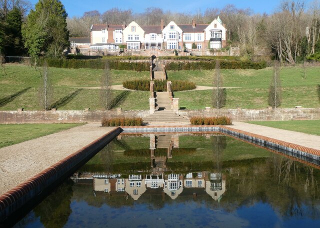
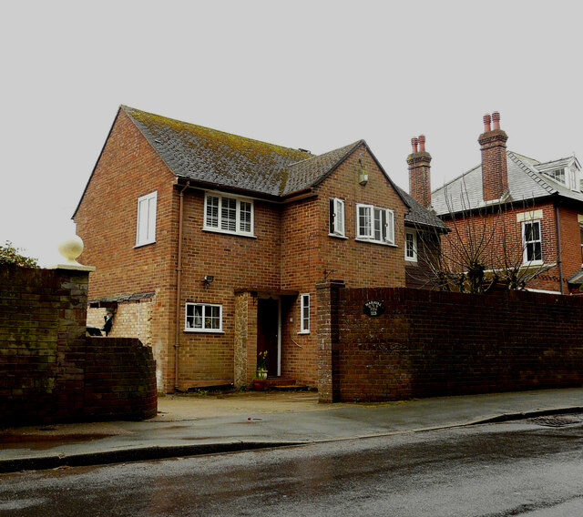
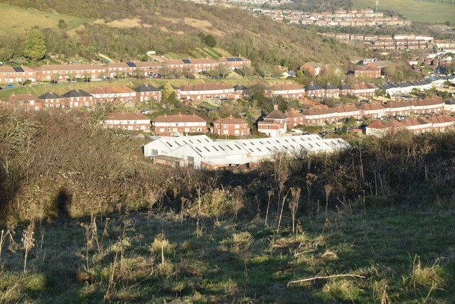
River is a village situated in the county of Kent, England. It is located approximately 3 miles north of the town of Dover and lies on the River Dour, which gives the village its name. The village is part of the Dover District and falls within the South East region of the country.
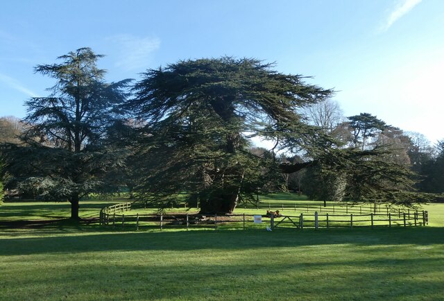
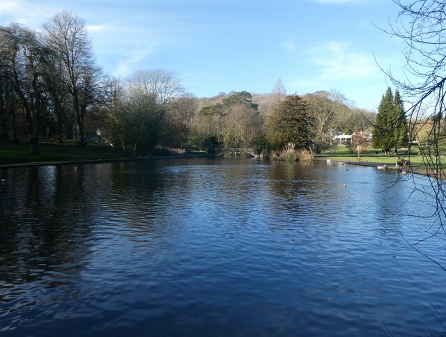
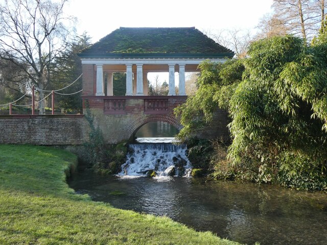
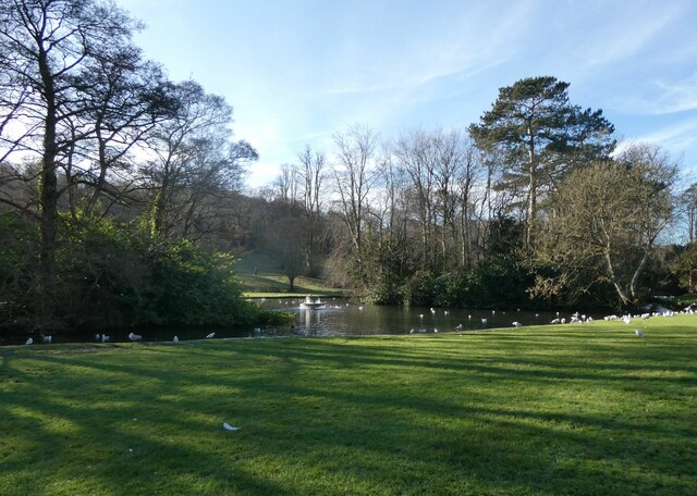
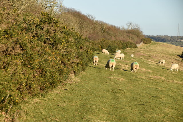
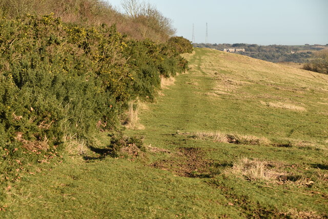
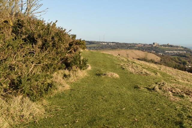
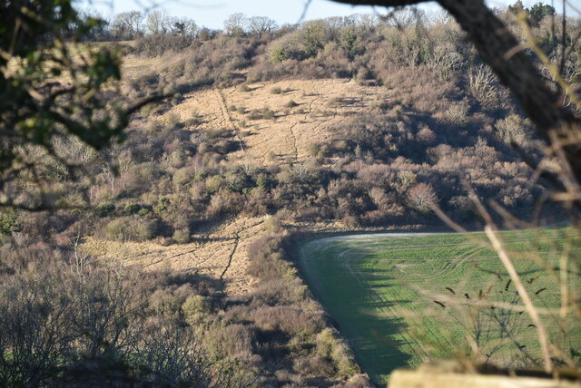
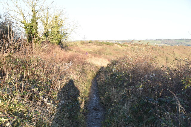
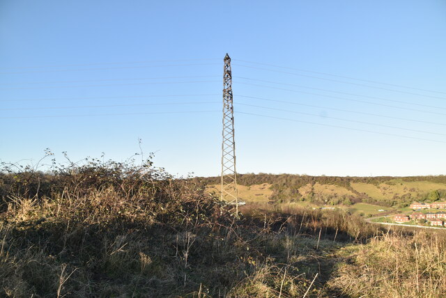
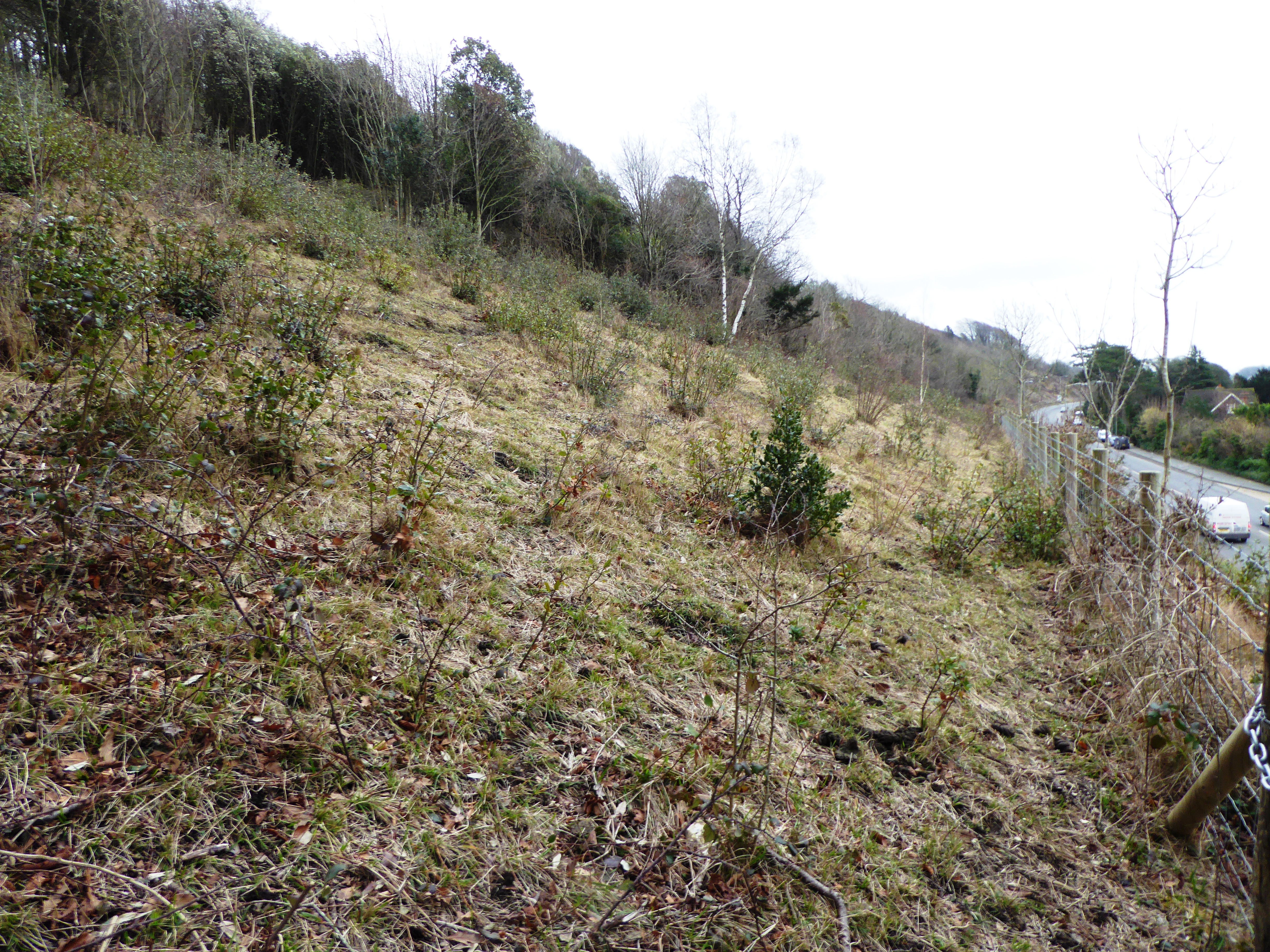
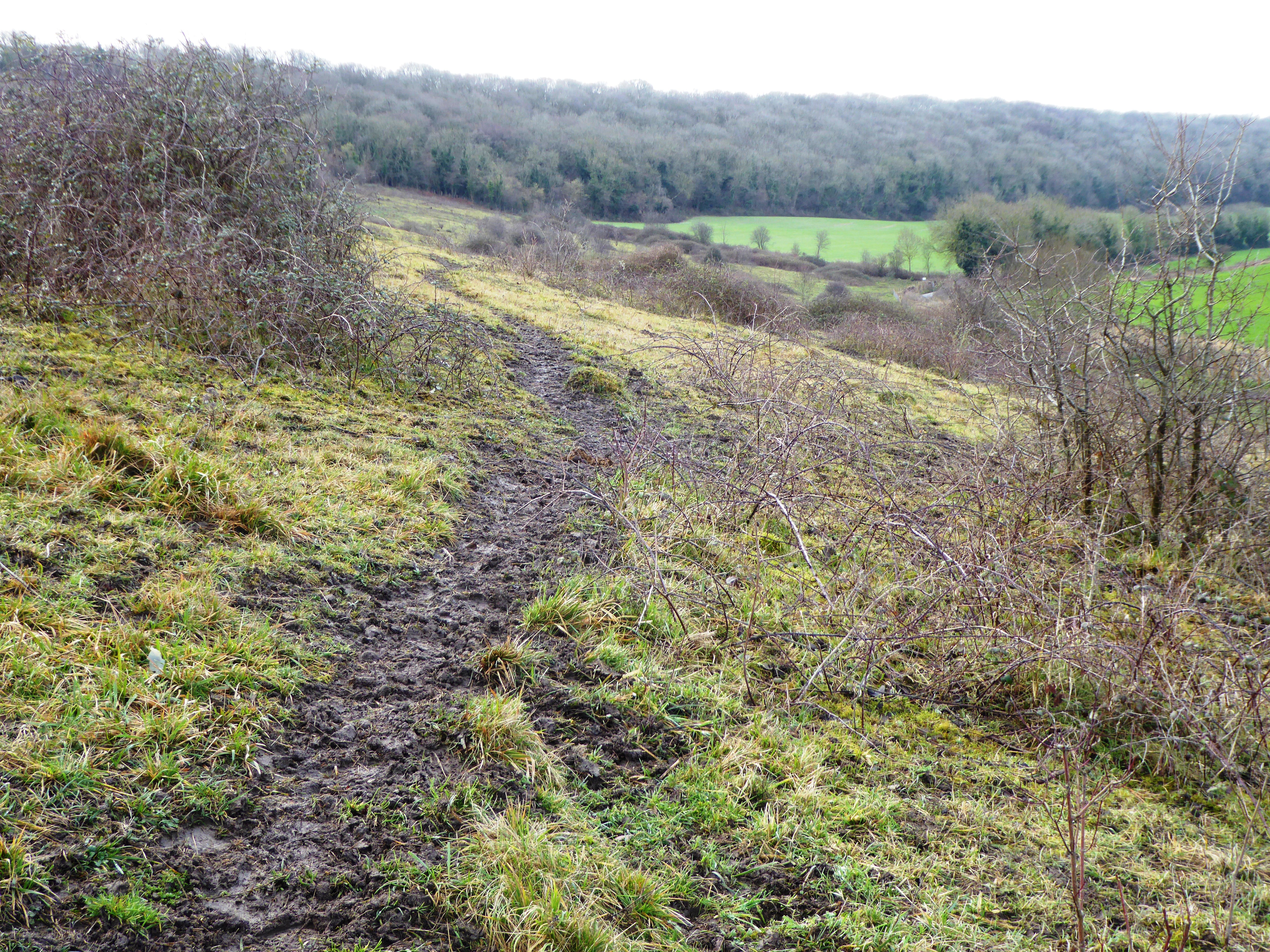
River is a small, picturesque village with a population of around 3,000 residents. It is known for its charming, traditional English architecture, featuring a mix of historic buildings and modern developments. The village offers a peaceful and rural setting, surrounded by beautiful countryside and rolling hills, making it an attractive destination for nature lovers and hikers.
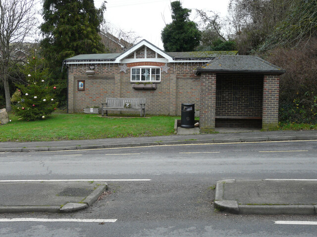
Despite its small size, River provides residents with a range of amenities and services. These include a local primary school, a village hall, a post office, a convenience store, and a few local businesses. The village also has a pub, providing a social hub for residents and visitors alike.
The village benefits from excellent transport links, with the nearby A2 road connecting it to Dover and Canterbury. River is also well-served by public transportation, with regular bus services connecting it to surrounding towns and villages.
Overall, River offers a peaceful and idyllic setting, with a strong sense of community. Its proximity to larger towns and cities, as well as its natural beauty, make it a desirable place to live or visit in the county of Kent.
If you have any feedback on the listing, please let us know in the comments section below.
River Images
Images are sourced within 2km of 51.143032/1.273978 or Grid Reference TR2943. Thanks to Geograph Open Source API. All images are credited.
River is located at Grid Ref: TR2943 (Lat: 51.143032, Lng: 1.273978)
Administrative County: Kent
District: Dover
Police Authority: Kent
What 3 Words
///shunts.frost.issued. Near Dover, Kent
Nearby Locations
Related Wikis

River, Kent
River is a village and civil parish in Kent, England, situated between the historic town of Dover and the neighbouring village of Temple Ewell. The 2011...
Old Park Hill
Old Park Hill is a 40-hectare (100-acre) nature reserve north of Dover in Kent. It is managed by the Kent Wildlife Trust (KWT). It is in the Kent Downs...

Kearsney, Kent
Kearsney is a village in Kent, England. At one time it would have been called a hamlet, there being no church there. The population of the village is included...

Kearsney railway station
Kearsney railway station is on the Dover branch of the Chatham Main Line in England, and serves Kearsney and Temple Ewell. It is 75 miles 9 chains (120...

Malvern House Preparatory School
Malvern House Preparatory School, at Kearsney, Kent, was a preparatory school which specialised in preparing boys for entry to the Royal Naval College...
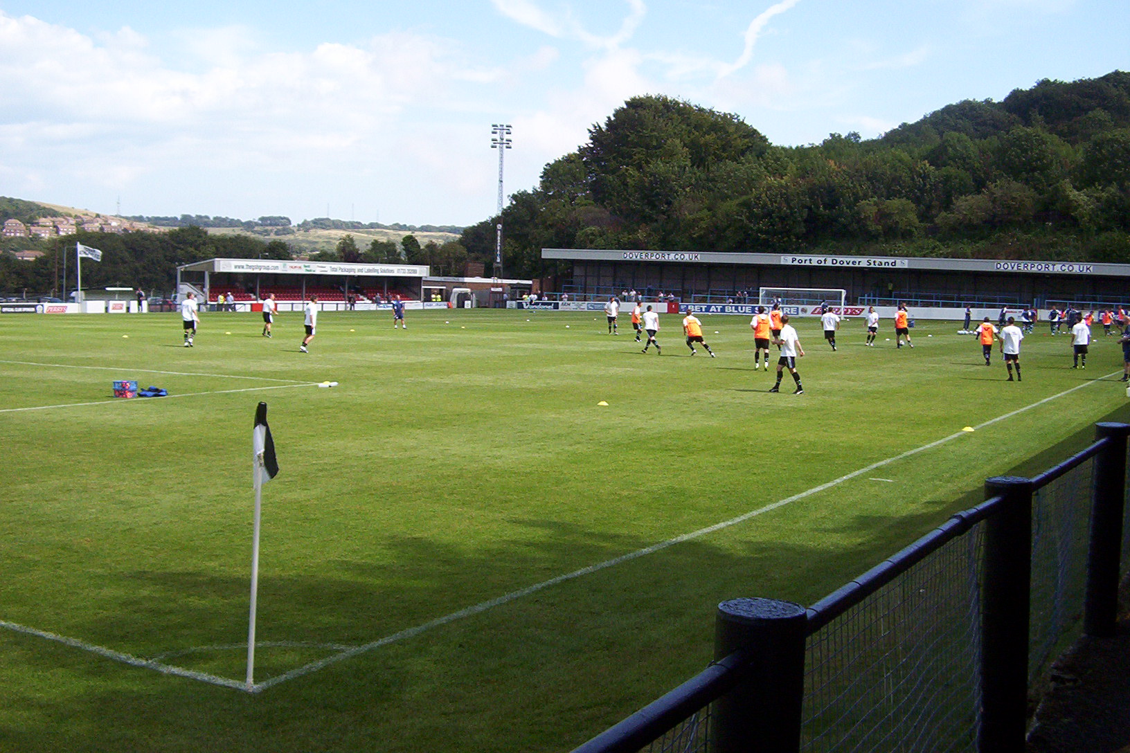
Crabble Athletic Ground
The Crabble Athletic Ground, also known as simply Crabble, or The Crabble is a football stadium located in the northern Dover suburb of River, Kent. It...

Temple Ewell
Temple Ewell is a civil parish and historic village in the county of Kent, England. The village is part of the Dover district of Kent, and forms part...
Nemo Down
Nemo Down is a 21-hectare (50-acre) nature reserve on the western outskirts of Dover in Kent. It was shown as owned and managed by the Kent Wildlife...
Nearby Amenities
Located within 500m of 51.143032,1.273978Have you been to River?
Leave your review of River below (or comments, questions and feedback).