View Wood
Wood, Forest in Kent Dover
England
View Wood
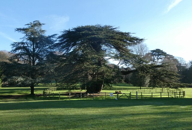
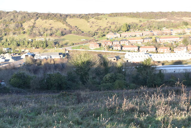
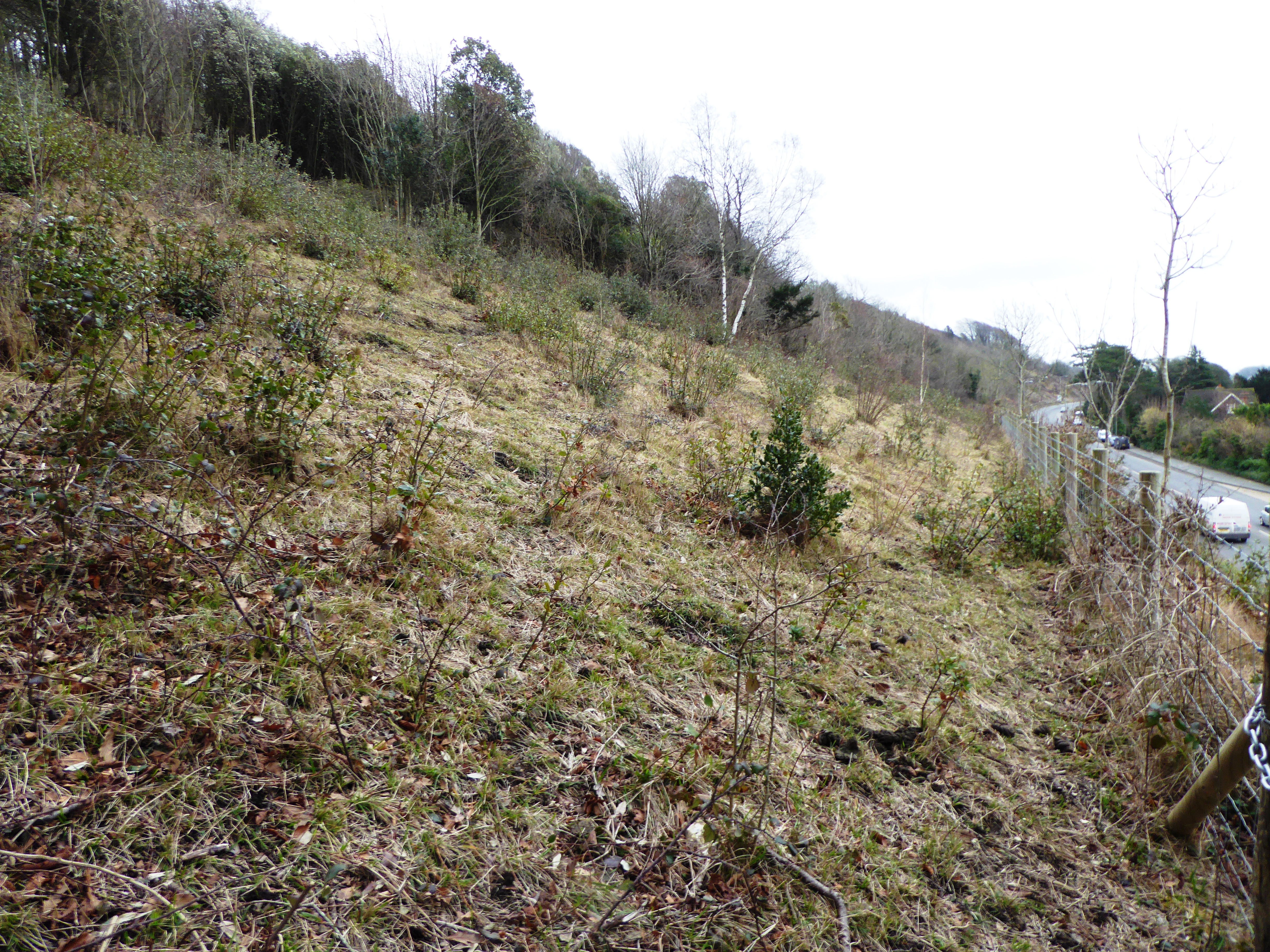
View Wood, Kent, also known as Wood Forest, is a picturesque woodland located in the county of Kent, England. Spread over an area of approximately 100 acres, this woodland is renowned for its natural beauty and tranquility.
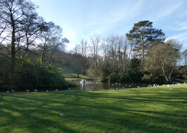
The wood is predominantly composed of mature oak and beech trees, which provide a dense canopy, creating a shaded and cool environment. The forest floor is covered with a rich carpet of moss, ferns, and wildflowers, adding to its enchanting appeal. The tall trees and lush vegetation offer a habitat for a diverse range of flora and fauna, making it a haven for nature lovers and wildlife enthusiasts.
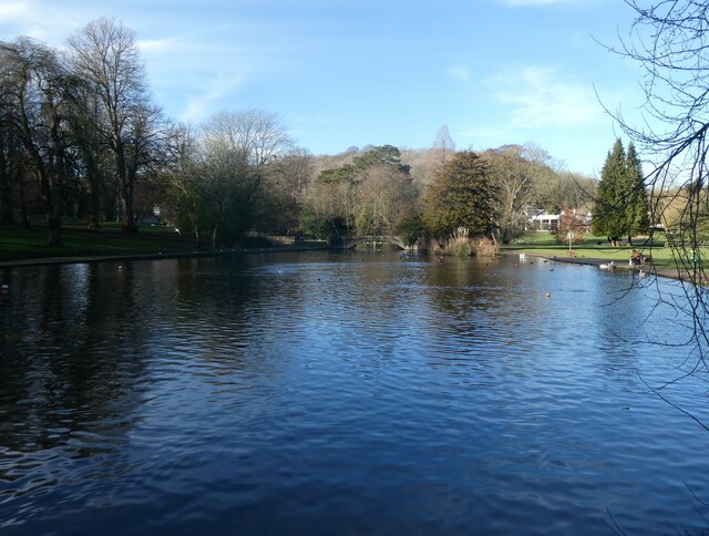
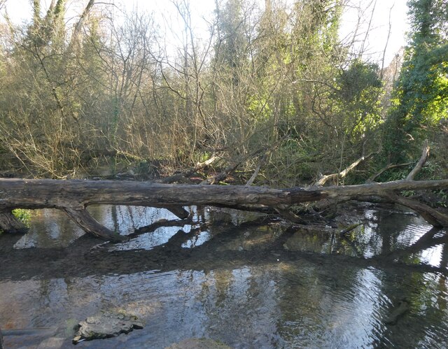
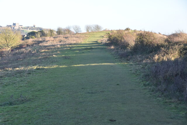
The woodland is crisscrossed by several well-maintained footpaths and trails, allowing visitors to explore and immerse themselves in its natural splendor. These paths lead to various points of interest, such as a small stream that flows through the wood, offering a peaceful spot for visitors to relax and enjoy the soothing sounds of nature.
View Wood also boasts several picnic areas and benches strategically placed throughout, enabling visitors to take a break and enjoy a meal amidst the serene surroundings. Additionally, there are designated areas for birdwatching and nature photography, allowing visitors to capture the beauty of the woodland and its inhabitants.
The wood is easily accessible, with ample parking facilities available nearby. It is open to the public year-round and is a popular destination for families, walkers, and nature enthusiasts seeking a peaceful retreat in the heart of nature.
In summary, View Wood, Kent, is a captivating woodland that offers a tranquil escape from the hustle and bustle of everyday life. Its lush vegetation, well-maintained trails, and abundance of wildlife make it a must-visit destination for anyone seeking a connection with nature.
If you have any feedback on the listing, please let us know in the comments section below.
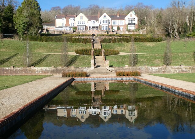
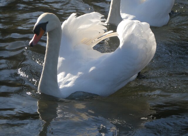
View Wood Images
Images are sourced within 2km of 51.145625/1.2863969 or Grid Reference TR2943. Thanks to Geograph Open Source API. All images are credited.

View Wood is located at Grid Ref: TR2943 (Lat: 51.145625, Lng: 1.2863969)
Administrative County: Kent
District: Dover
Police Authority: Kent
What 3 Words
///papers.input.agenda. Near Dover, Kent
Nearby Locations
Related Wikis

River, Kent
River is a village and civil parish in Kent, England, situated between the historic town of Dover and the neighbouring village of Temple Ewell. The 2011...
Old Park Hill
Old Park Hill is a 40-hectare (100-acre) nature reserve north of Dover in Kent. It is managed by the Kent Wildlife Trust (KWT). It is in the Kent Downs...
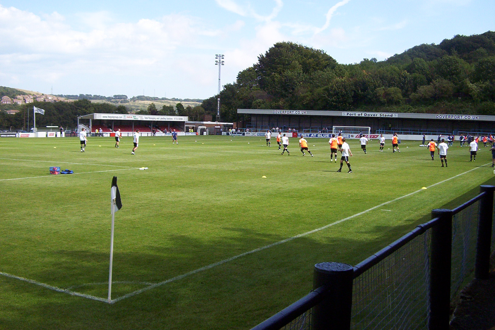
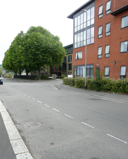
Crabble Athletic Ground
The Crabble Athletic Ground, also known as simply Crabble, or The Crabble is a football stadium located in the northern Dover suburb of River, Kent. It...

Malvern House Preparatory School
Malvern House Preparatory School, at Kearsney, Kent, was a preparatory school which specialised in preparing boys for entry to the Royal Naval College...
Whitfield, Kent
Whitfield is a village, civil parish and electoral ward in the English county of Kent. It now forms part of the urban area of the town of Dover. It has...

Kearsney railway station
Kearsney railway station is on the Dover branch of the Chatham Main Line in England, and serves Kearsney and Temple Ewell. It is 75 miles 9 chains (120...

Buckland, Kent
Buckland including Buckland Valley is a village near (and now merged with) Dover, England. It is noted for the Buckland Anglo-Saxon cemetery whose finds...
Buckland Anglo-Saxon cemetery
Buckland Anglo-Saxon cemetery was a place of burial. It is located on Long Hill in the town of Dover in Kent, South East England. Belonging to the Anglo...
Nearby Amenities
Located within 500m of 51.145625,1.2863969Have you been to View Wood?
Leave your review of View Wood below (or comments, questions and feedback).