Old Park Wood
Wood, Forest in Kent Dover
England
Old Park Wood
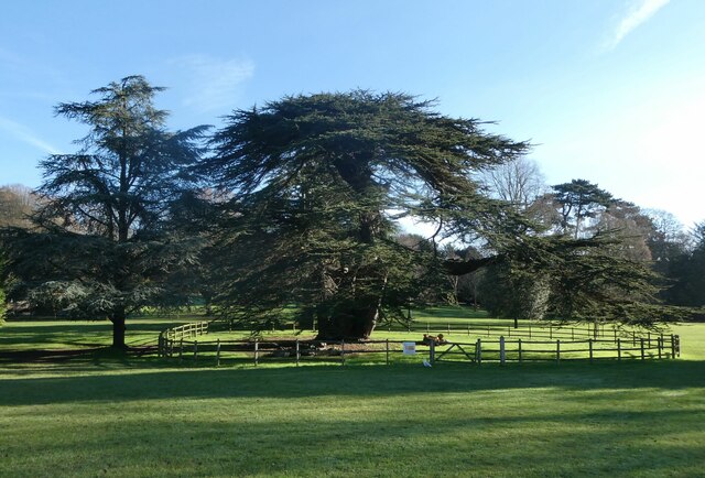
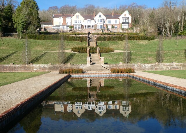
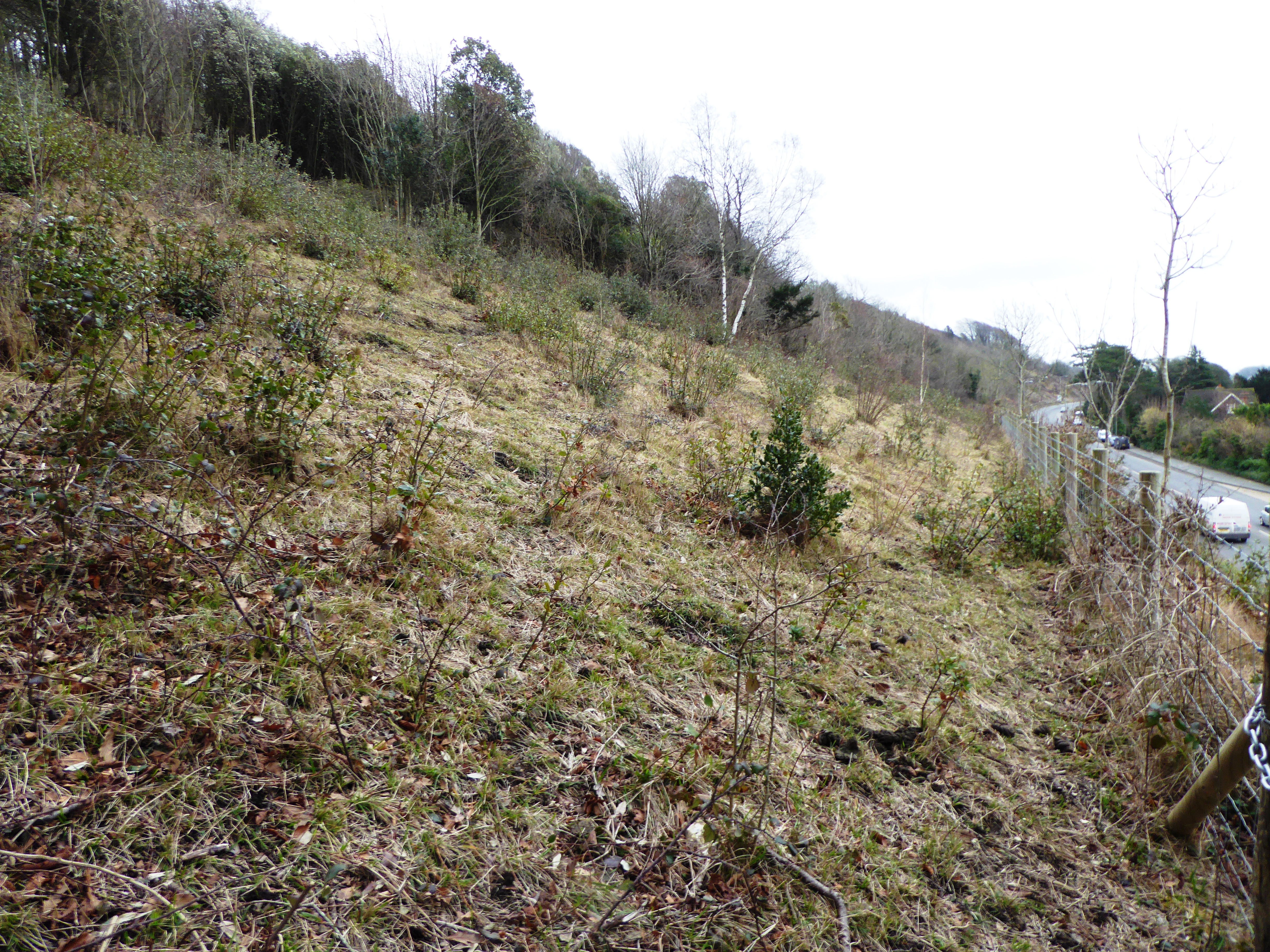
Old Park Wood is a magnificent ancient woodland located in the county of Kent, England. Covering an area of approximately 50 hectares, it is nestled within the North Downs Area of Outstanding Natural Beauty. The wood is predominantly composed of a mixture of broadleaf tree species, including oak, ash, beech, and hazel, creating a diverse and vibrant ecosystem.
The woodland boasts a rich history, with evidence of medieval wood pasture management practices still visible today. It is believed that the wood has been continuously wooded for at least 400 years. The ancient trees and undisturbed undergrowth provide a haven for a wide range of flora and fauna, making it a designated Site of Special Scientific Interest.
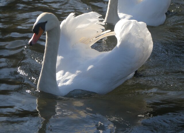
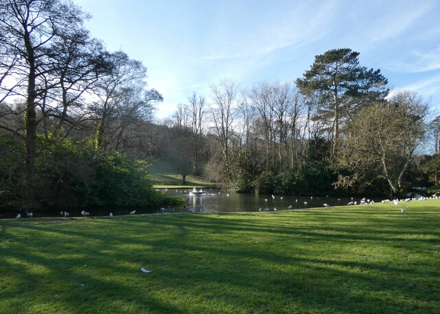
Visitors to Old Park Wood can explore a network of well-maintained footpaths and trails, allowing them to fully immerse themselves in the natural beauty of the area. The wood is home to a variety of wildlife, including rare and protected species such as the nightingale and the dormouse. Birdwatchers, in particular, will be delighted by the abundance of avian life present in the wood.
The wood is managed by a dedicated team of conservationists who work diligently to preserve its unique character and protect its biodiversity. Regular surveys and monitoring programs are conducted to assess the health and diversity of the woodland, ensuring its long-term sustainability.
Old Park Wood offers visitors a tranquil and enchanting escape from the hustle and bustle of modern life. Its ancient trees, diverse wildlife, and rich history make it a cherished natural treasure in the heart of Kent.
If you have any feedback on the listing, please let us know in the comments section below.
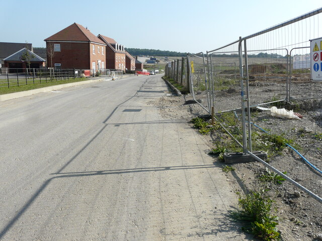
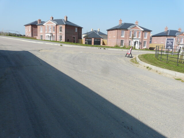
Old Park Wood Images
Images are sourced within 2km of 51.148271/1.2834815 or Grid Reference TR2943. Thanks to Geograph Open Source API. All images are credited.
Old Park Wood is located at Grid Ref: TR2943 (Lat: 51.148271, Lng: 1.2834815)
Administrative County: Kent
District: Dover
Police Authority: Kent
What 3 Words
///headed.yard.chase. Near Dover, Kent
Nearby Locations
Related Wikis
Old Park Hill
Old Park Hill is a 40-hectare (100-acre) nature reserve north of Dover in Kent. It is managed by the Kent Wildlife Trust (KWT). It is in the Kent Downs...

River, Kent
River is a village and civil parish in Kent, England, situated between the historic town of Dover and the neighbouring village of Temple Ewell. The 2011...

Malvern House Preparatory School
Malvern House Preparatory School, at Kearsney, Kent, was a preparatory school which specialised in preparing boys for entry to the Royal Naval College...

Kearsney railway station
Kearsney railway station is on the Dover branch of the Chatham Main Line in England, and serves Kearsney and Temple Ewell. It is 75 miles 9 chains (120...
Whitfield, Kent
Whitfield is a village, civil parish and electoral ward in the English county of Kent. It now forms part of the urban area of the town of Dover. It has...

Kearsney, Kent
Kearsney is a village in Kent, England. At one time it would have been called a hamlet, there being no church there. The population of the village is included...

Temple Ewell
Temple Ewell is a civil parish and historic village in the county of Kent, England. The village is part of the Dover district of Kent, and forms part...
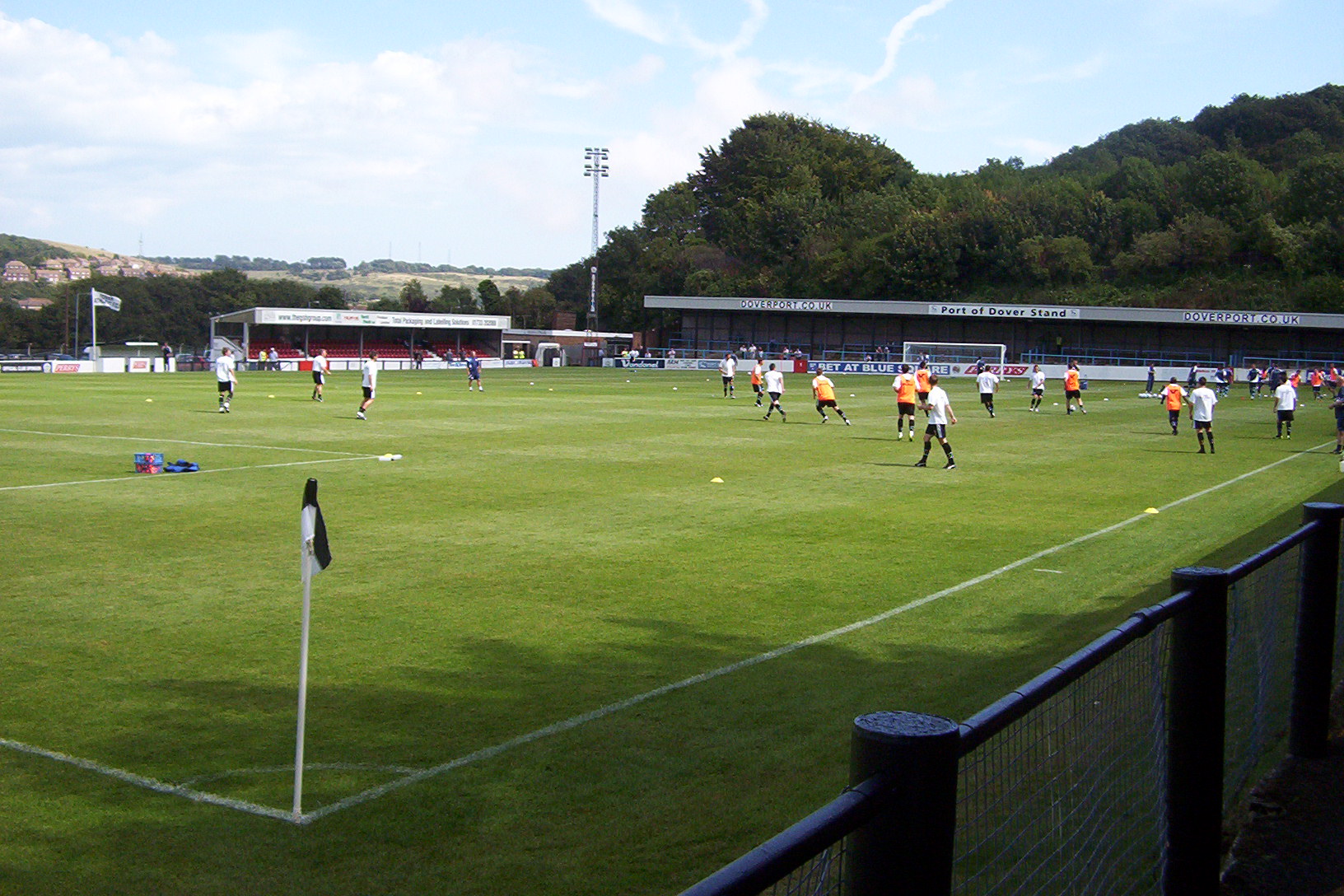
Crabble Athletic Ground
The Crabble Athletic Ground, also known as simply Crabble, or The Crabble is a football stadium located in the northern Dover suburb of River, Kent. It...
Nearby Amenities
Located within 500m of 51.148271,1.2834815Have you been to Old Park Wood?
Leave your review of Old Park Wood below (or comments, questions and feedback).