Mill Stream
Lake, Pool, Pond, Freshwater Marsh in Kent Dover
England
Mill Stream
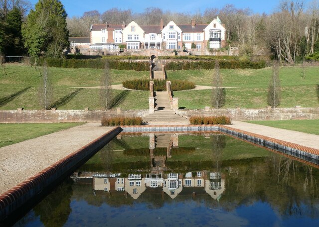
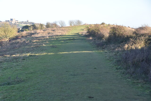
Mill Stream is a picturesque freshwater marsh located in Kent, England. It is a small, tranquil body of water nestled amidst the rolling countryside, providing a haven for a variety of plant and animal species.
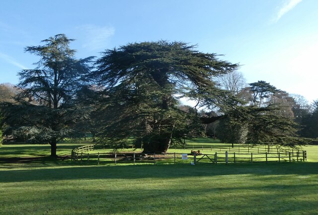
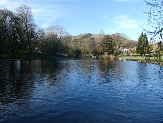
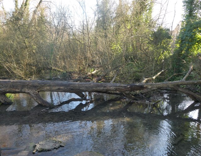
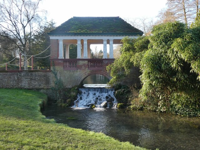
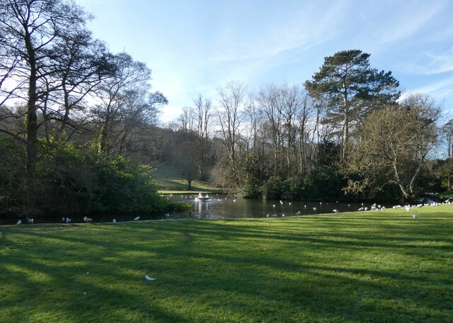
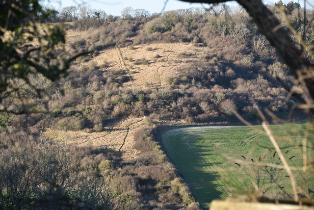
Covering an area of approximately 10 acres, Mill Stream is characterized by its calm, still waters and lush vegetation. The stream is fed by natural springs and rainwater, ensuring a constant flow of fresh, clean water. The marsh is surrounded by dense woodland, creating a serene and secluded atmosphere.
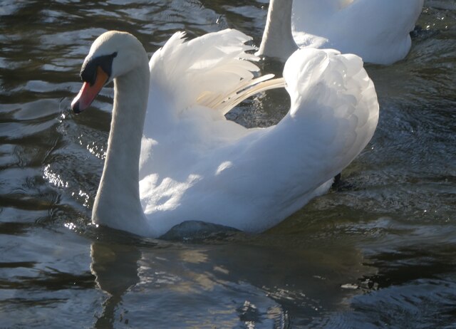
The water in Mill Stream is home to a diverse range of aquatic life. Fish such as roach, perch, and pike can be found swimming beneath the surface, while water birds such as ducks and herons can often be seen hunting for food along the banks. The marsh also supports a variety of plant species, including reeds, water lilies, and various types of grasses.
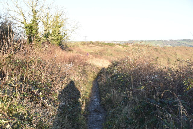
The tranquil nature of Mill Stream makes it an ideal spot for relaxation and wildlife observation. Visitors can enjoy leisurely walks along the banks, taking in the beauty of the surrounding scenery. The area is also popular among birdwatchers, who come to observe the numerous species that frequent the marsh.
Mill Stream is easily accessible, with a walking trail leading directly to its shores. The site is well-maintained, with designated picnic areas and benches for visitors to enjoy a peaceful lunch or simply soak in the natural beauty of the marsh. Overall, Mill Stream provides a serene and enchanting escape from the hustle and bustle of everyday life.
If you have any feedback on the listing, please let us know in the comments section below.
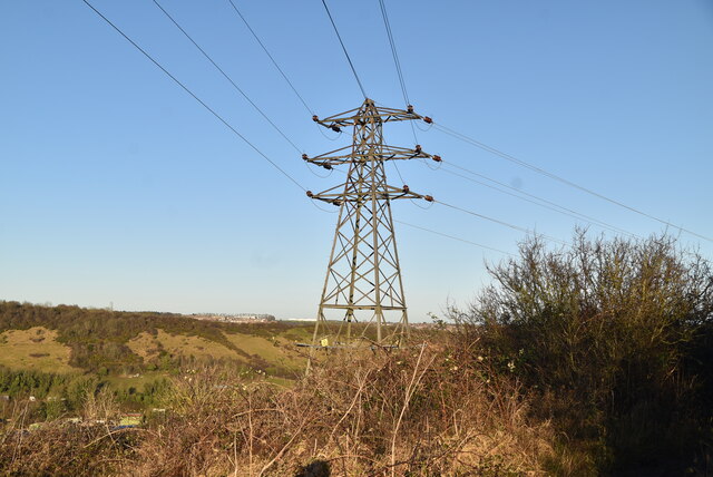
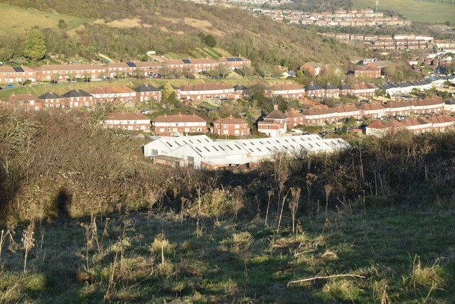
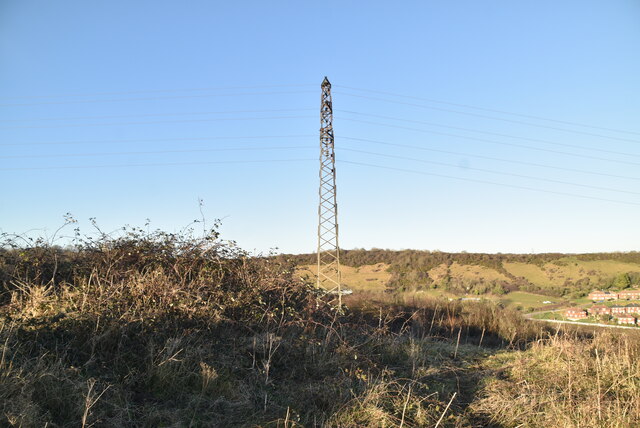
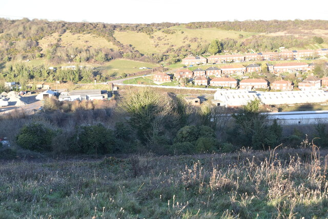
Mill Stream Images
Images are sourced within 2km of 51.143703/1.2840866 or Grid Reference TR2943. Thanks to Geograph Open Source API. All images are credited.
Mill Stream is located at Grid Ref: TR2943 (Lat: 51.143703, Lng: 1.2840866)
Administrative County: Kent
District: Dover
Police Authority: Kent
What 3 Words
///stores.noises.speech. Near Dover, Kent
Nearby Locations
Related Wikis

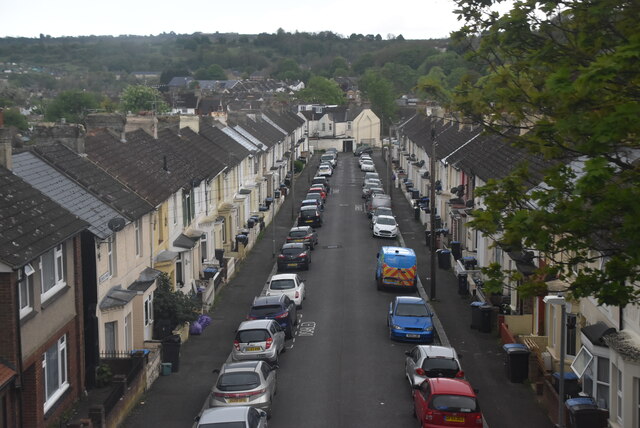
River, Kent
River is a village and civil parish in Kent, England, situated very close to the historic town of Dover, the town centre of which is only 2 miles to the...
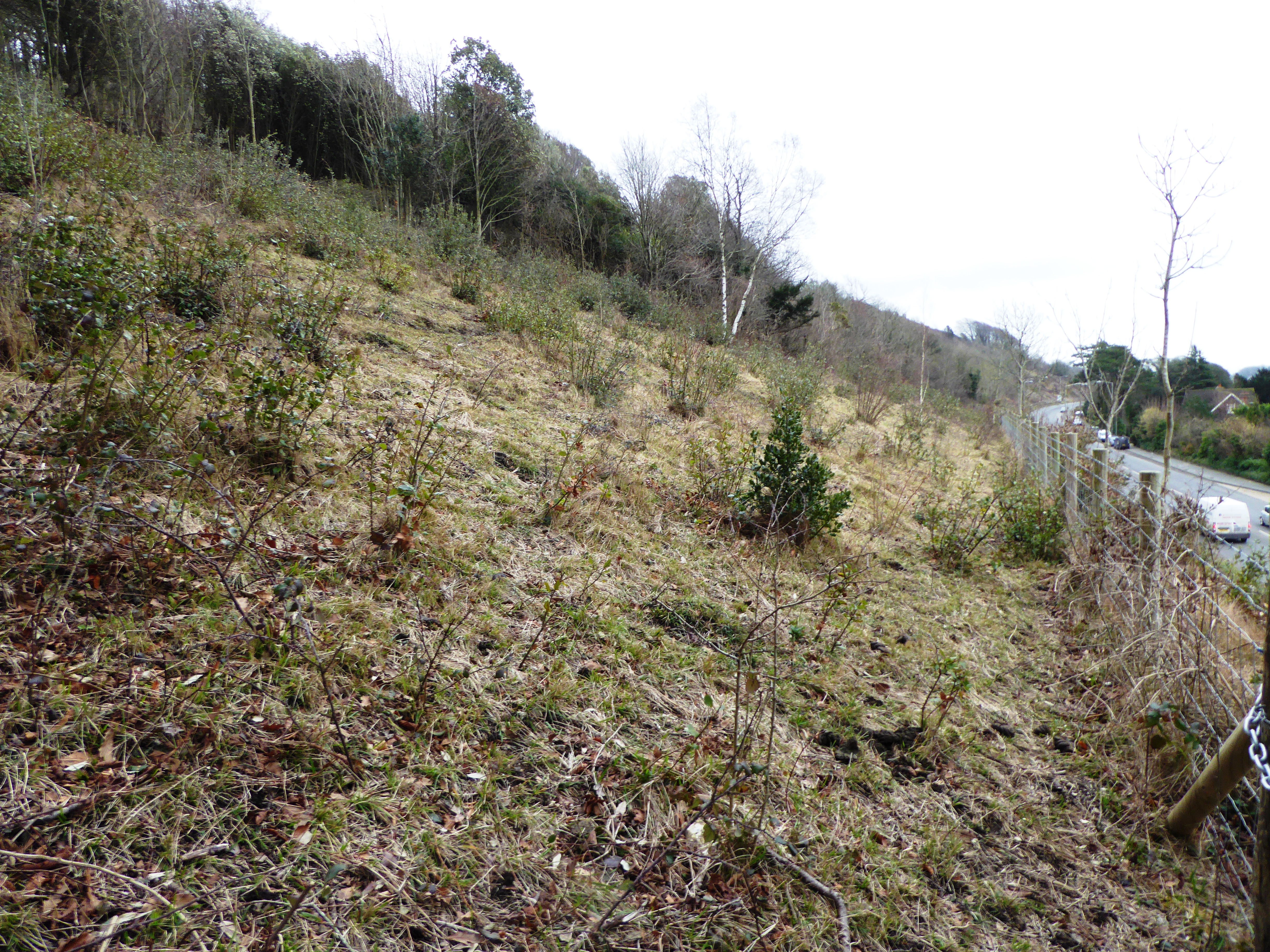
Old Park Hill
Old Park Hill is a 40-hectare (100-acre) nature reserve north of Dover in Kent. It is managed by the Kent Wildlife Trust (KWT). It is in the Kent Downs...
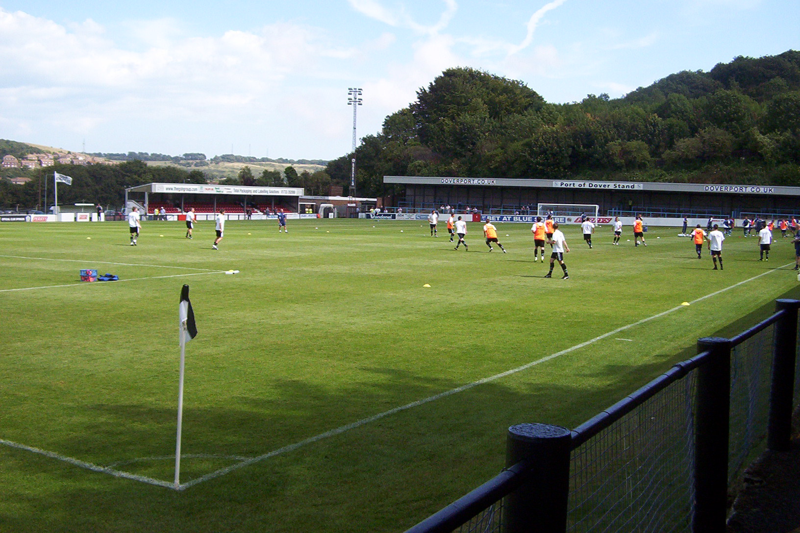
Crabble Athletic Ground
The Crabble Athletic Ground, also known as simply Crabble, or The Crabble is a football stadium located in the northern Dover suburb of River, Kent. It...

Malvern House Preparatory School
Malvern House Preparatory School, at Kearsney, Kent, was a preparatory school which specialised in preparing boys for entry to the Royal Naval College...
Nearby Amenities
Located within 500m of 51.143703,1.2840866Have you been to Mill Stream?
Leave your review of Mill Stream below (or comments, questions and feedback).