The Lily Pond

Lake, Pool, Pond, Freshwater Marsh in Suffolk East Suffolk

England

The Lily Pond

Field north of Ash Grove The woodland on the far side of the field has, according to the map, the strange name of  Belle and Gertie.
Field north of Ash Grove Credit: Christopher Hilton

The Lily Pond, located in Suffolk, is a picturesque freshwater marsh encompassing an area of serene beauty. Situated amidst a lush green landscape, this natural marvel serves as a habitat for a diverse range of flora and fauna.

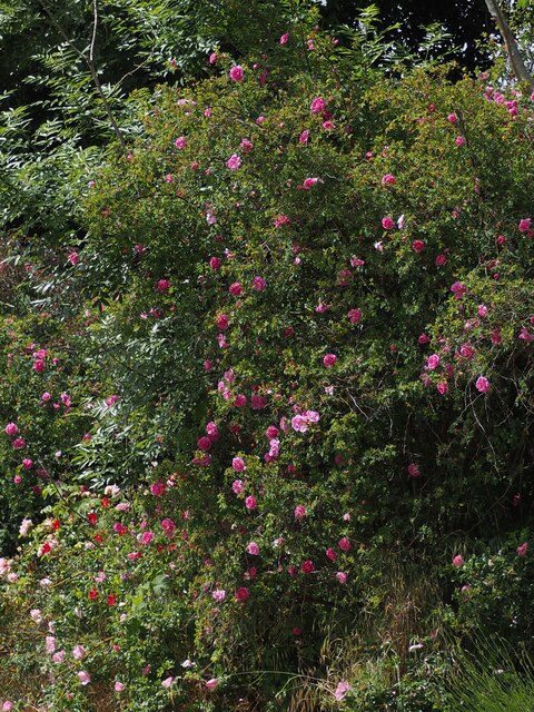
The pond itself is a pristine body of water, rich in aquatic life. Its crystal-clear surface, reflecting the surrounding foliage, creates a mesmerizing sight for visitors. The Lily Pond derives its name from the abundance of enchanting lilies that adorn its surface during the summer months. These delicate flowers, with their vibrant colors, create a stunning contrast against the calm water, attracting numerous birds and insects.

Surrounding the pond is a dense growth of tall reeds and cattails, providing a sanctuary for various bird species and small mammals. Visitors can often spot graceful swans gliding across the water, their elegant movements adding to the ethereal ambiance. The Lily Pond is also home to a variety of fish, such as carp and perch, making it a popular spot for fishing enthusiasts.

A network of well-maintained walking trails meanders through the marsh, allowing visitors to explore the area and appreciate its natural wonders up-close. The tranquil atmosphere, coupled with the harmonious chorus of birdsong, creates a sense of calm and tranquility for those seeking respite from the hustle and bustle of everyday life.

With its scenic beauty and abundant wildlife, The Lily Pond in Suffolk is a haven for nature lovers and a testament to the captivating allure of freshwater ecosystems.

If you have any feedback on the listing, please let us know in the comments section below.

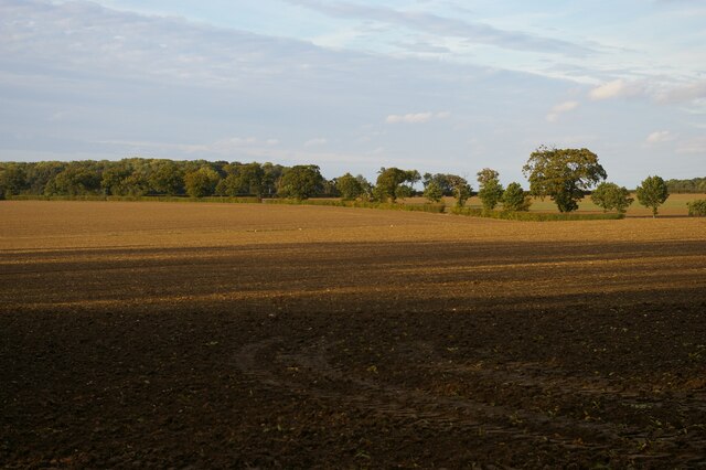
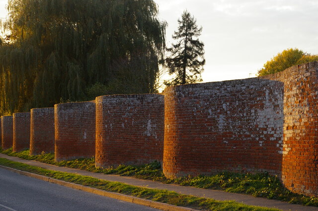
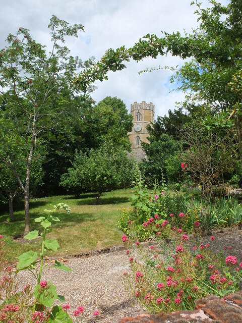
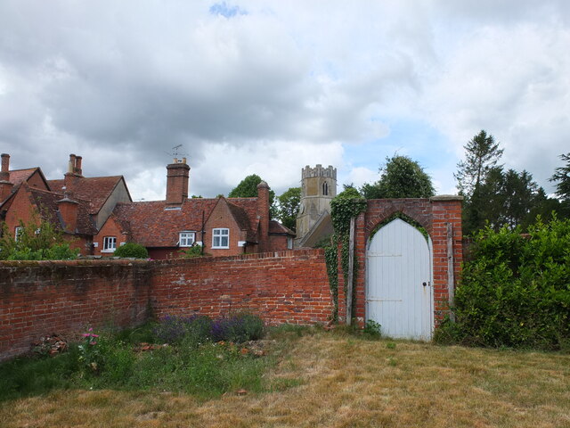
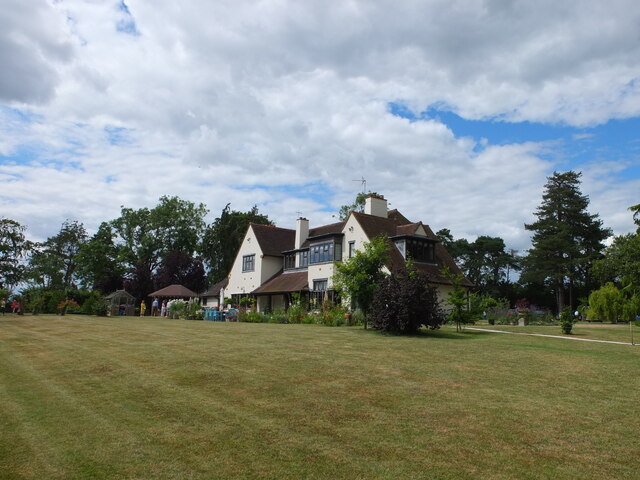
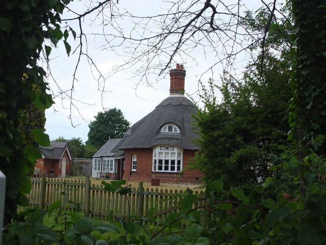
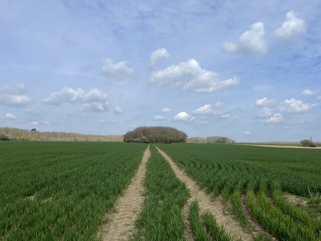
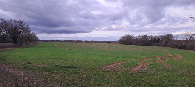
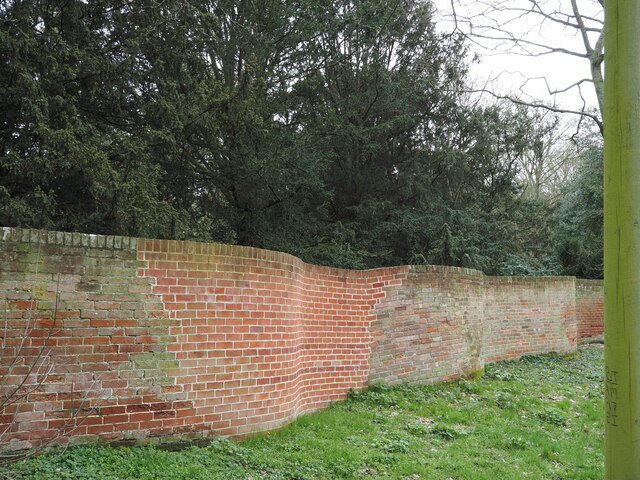
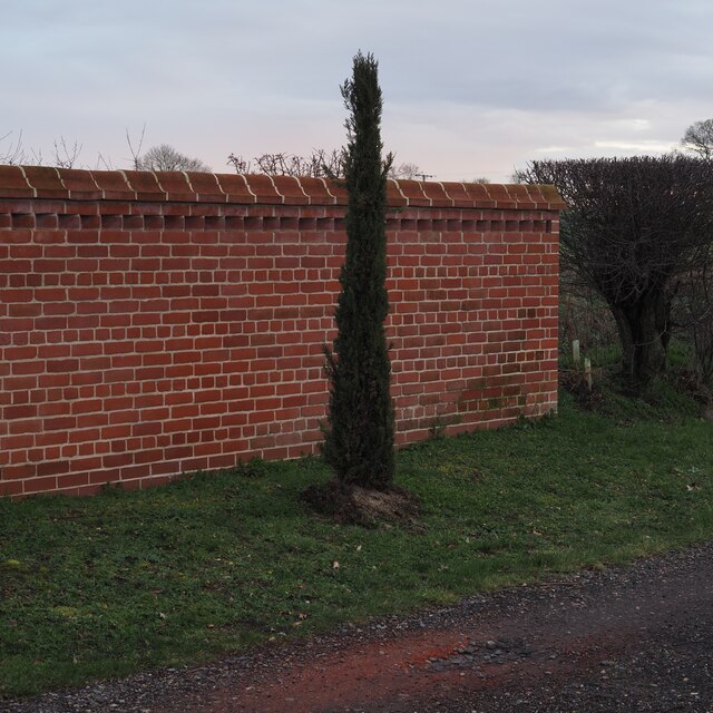
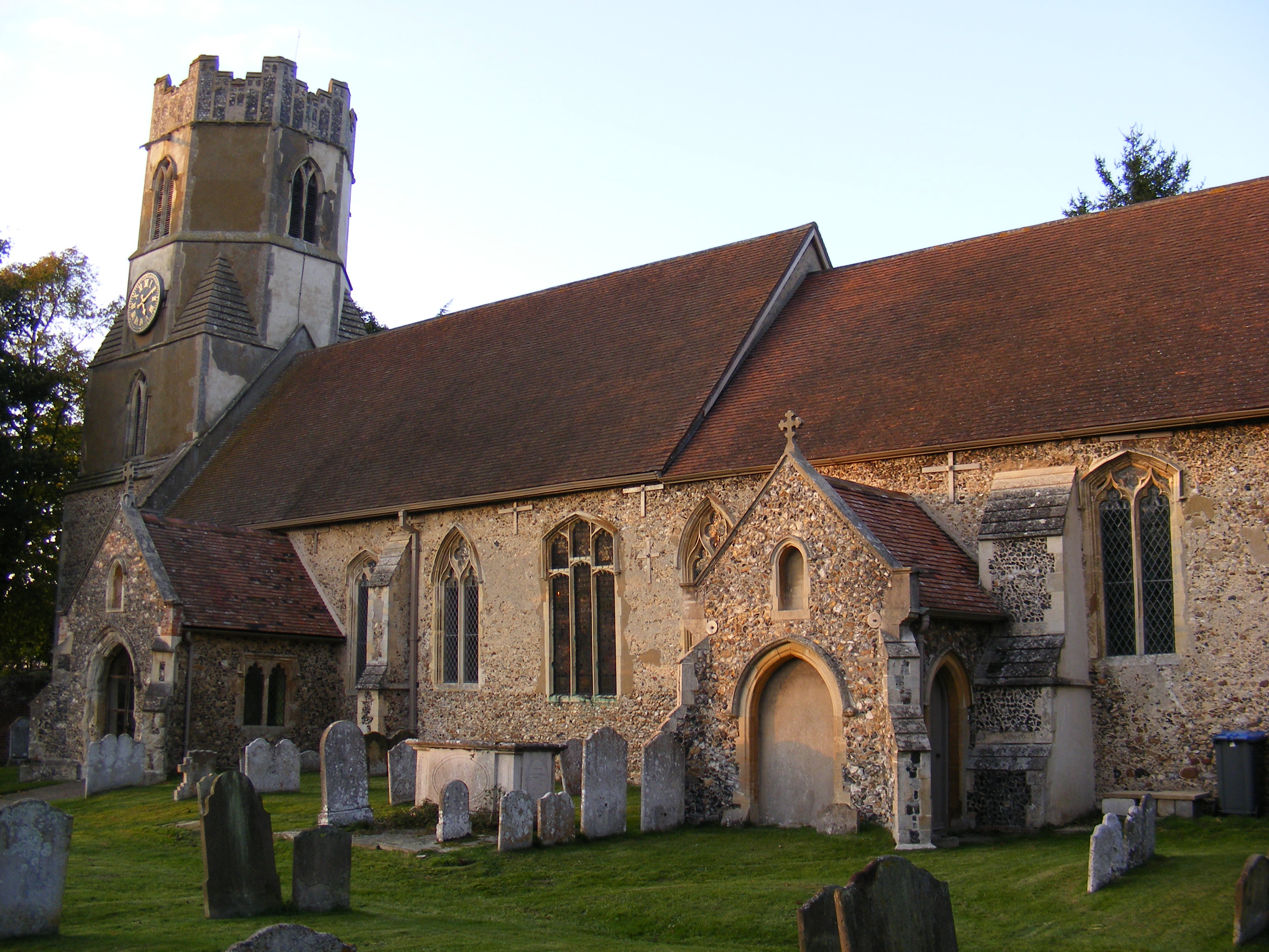
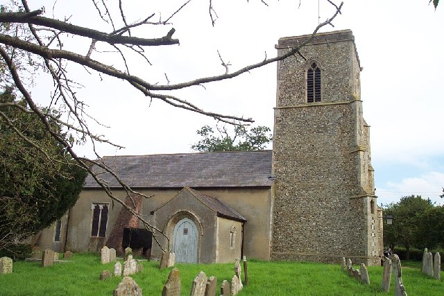
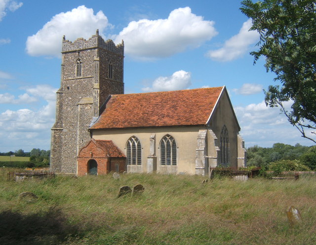
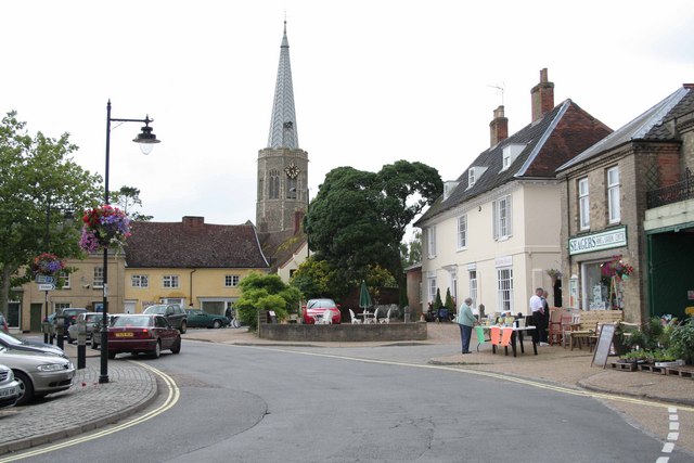
The Lily Pond Images

Images are sourced within 2km of 52.171487/1.3538342 or Grid Reference TM2957. Thanks to Geograph Open Source API. All images are credited.

Field north of Ash Grove The woodland on the far side of the field has, according to the map, the strange name of  Belle and Gertie.
Field north of Ash Grove
The woodland on the far side of the field has, according to the map, the strange name of Belle and Gertie.
Crinkle-crankle wall down the south side of Easton Park
Field south of Old Hall
School Lane, Easton Pictured on Easton Open Gardens Day 2022
School Lane, Easton
Pictured on Easton Open Gardens Day 2022
Easton church tower Taken on Easton Open Gardens Day 2022
Easton church tower
Taken on Easton Open Gardens Day 2022
Easton church tower and The Old Rectory Seen from a nearby garden during Easton Open Gardens Day 2022
Easton church tower and The Old Rectory
Seen from a nearby garden during Easton Open Gardens Day 2022
Easton Hall A fine arts and crafts style house with beautiful gardens. Taken on Easton Open Gardens Day 2022
Easton Hall
A fine arts and crafts style house with beautiful gardens. Taken on Easton Open Gardens Day 2022
The Round House, Easton A Grade II listed former estate cottage: <span class="nowrap"><a title="https://britishlistedbuildings.co.uk/101199061-the-round-house-easton" rel="nofollow ugc noopener" href="https://britishlistedbuildings.co.uk/101199061-the-round-house-easton">Link</a><img style="margin-left:2px;" alt="External link" title="External link - shift click to open in new window" src="https://s1.geograph.org.uk/img/external.png" width="10" height="10"/></span>
The Round House, Easton
A Grade II listed former estate cottage: LinkExternal link
New houses on the edge of Easton Looking north from Hacheston Road.  The houses in the foreground are the historic Lowbarn Cottages and behind is the recent housing development of Skylark Rise.
New houses on the edge of Easton
Looking north from Hacheston Road. The houses in the foreground are the historic Lowbarn Cottages and behind is the recent housing development of Skylark Rise.
View towards Horseclose Belt Looking north along the tramlines in a field of winter wheat adjacent to Easton Lane.
View towards Horseclose Belt
Looking north along the tramlines in a field of winter wheat adjacent to Easton Lane.
View up the Deben valley west of Wickham Market
School Lane, 1/2 Captured in March 2023, by Hugo King
School Lane, 1/2
Captured in March 2023, by Hugo King
Hacheston Road Captured in March 2023, by Hugo King
Hacheston Road
Captured in March 2023, by Hugo King
Serpentine, or "Crinkly Crankly", Walling Captured in March 2023, by Hugo King
Serpentine, or "Crinkly Crankly", Walling
Captured in March 2023, by Hugo King
Looking across to Letheringham Captured in March 2023, by Hugo King
Looking across to Letheringham
Captured in March 2023, by Hugo King
New Wall, Four Bridges Captured March 2023, by Hugo King
New Wall, Four Bridges
Captured March 2023, by Hugo King
Rose Bush, ('P.C.L.') Captured in June 2020, by Hugo King
Rose Bush, ('P.C.L.')
Captured in June 2020, by Hugo King
Easton Graveyard Captured May 2020, by Hugo King
Easton Graveyard
Captured May 2020, by Hugo King
Show me another place!

The Lily Pond is located at Grid Ref: TM2957 (Lat: 52.171487, Lng: 1.3538342)

Administrative County: Suffolk

District: East Suffolk

Police Authority: Suffolk

What 3 Words

///toenail.elections.meal. Near Wickham Market, Suffolk

Nearby Locations

The Egg Wood The Lily Pond

Related Wikis

Easton, Suffolk

Easton in England is situated on the River Deben around three miles south of Framlingham and is the former estate village of Easton Park, one-time seat...

Deben Mill

Deben Mill is a water mill on the River Deben located on the boundary between the civil parishes of Wickham Market and Hacheston, in Suffolk, England....

Hacheston

Hacheston is a village and a civil parish in the East Suffolk district, in the English county of Suffolk. The population of the parish at the 2011 census...

Letheringham

Letheringham is a sparsely populated civil parish in the East Suffolk district (formerly Deben Rural District and then Suffolk Coastal) in Suffolk, England...

Hacheston Halt railway station

Hacheston Halt railway station was a station located in Hacheston, Suffolk situated on the Framlingham Branch.The branch was opened in 1859, but Hacheston...

Parham Hall

Parham Old Hall, also known as Moat Hall, is a moated site and historic medieval mansion close to the village of Parham, in Suffolk, England. Closely associated...

Wickham Market

Wickham Market is a large village and electoral ward in the River Deben valley, Suffolk, England, within the Suffolk Coastal heritage area. It is on the...

Wickham Market Hoard

The Wickham Market Hoard is a hoard of 840 Iron Age gold staters found in a field at Dallinghoo near Wickham Market, Suffolk, England in March 2008 by...

Nearby Amenities

Located within 500m of 52.171487,1.3538342
Power: pole
Lat/Long: 52.1717982/1.3469356
Power: pole
Lat/Long: 52.1725105/1.3475418
Power: pole
Lat/Long: 52.1735188/1.3488346
Power: pole
Lat/Long: 52.174486/1.3500497
Power: pole
Lat/Long: 52.1754729/1.351254
Marker: aerial
Utility: gas
Lat/Long: 52.1688089/1.3532636
Marker: aerial
Utility: gas
Lat/Long: 52.1687456/1.3531934
The data included in this document is from www.openstreetmap.org. The data is made available under ODbL.

Have you been to The Lily Pond?

Leave your review of The Lily Pond below (or comments, questions and feedback).