River

Settlement in Sussex Chichester

England

River

Logs, moss and fungi on Upperton Common
Logs, moss and fungi on Upperton Common Credit: Ian Cunliffe

River is a small village located in the county of Sussex, England. Situated on the River Stour, it is part of the larger civil parish of Kent, and lies approximately 7 miles south of the historic city of Canterbury.

The village of River boasts a rich history, with evidence of settlement dating back to Roman times. It is believed that the name "River" originated from the Old English word "rhyfer," meaning a place where rushes grow, indicating the presence of marshland in the area. Over the centuries, the village has evolved from an agricultural community to a more residential area.

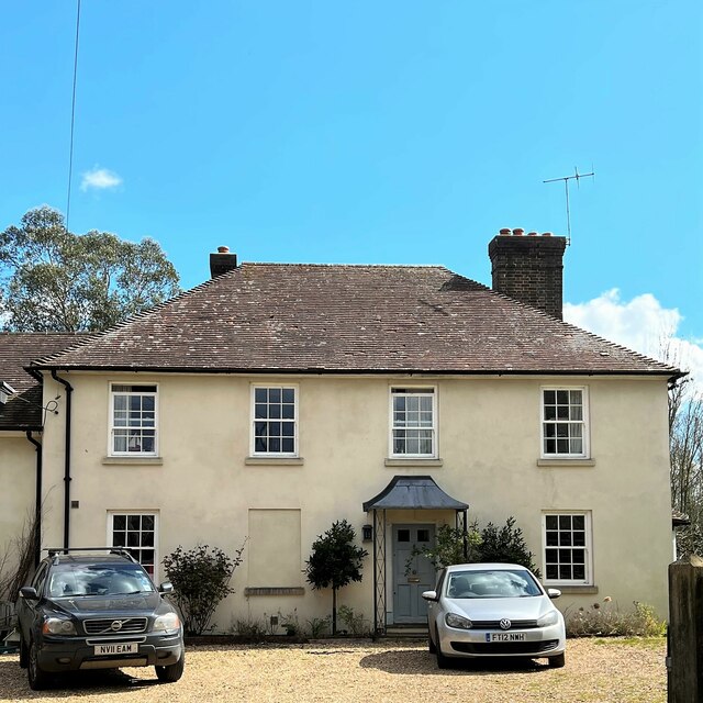
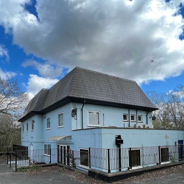
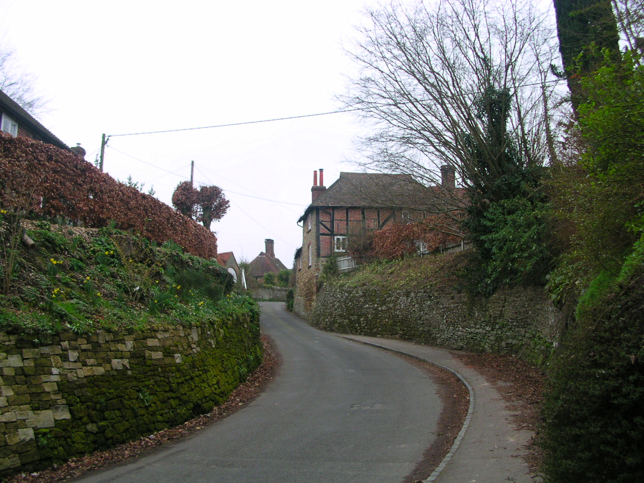
Today, River is a charming village characterized by its picturesque countryside setting and traditional architecture. The village is home to a tight-knit community and offers a range of amenities to its residents. These include a primary school, a village hall, a local pub, and a few convenience stores.

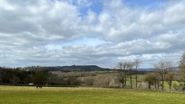
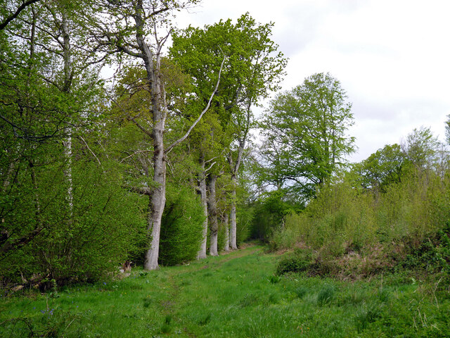
Nature enthusiasts can enjoy the tranquil surroundings, as the village is surrounded by beautiful countryside, providing ample opportunities for walks and outdoor activities. The River Stour, which flows through the village, attracts visitors with its scenic beauty and offers opportunities for boating and fishing.

Transport links to River are convenient, with regular bus services connecting the village to nearby towns and cities. Additionally, the village benefits from its proximity to the A28 road, which provides easy access to Canterbury and other parts of Kent.

Overall, River is a delightful village that offers its residents a peaceful rural lifestyle, while maintaining close proximity to larger urban centers.

If you have any feedback on the listing, please let us know in the comments section below.
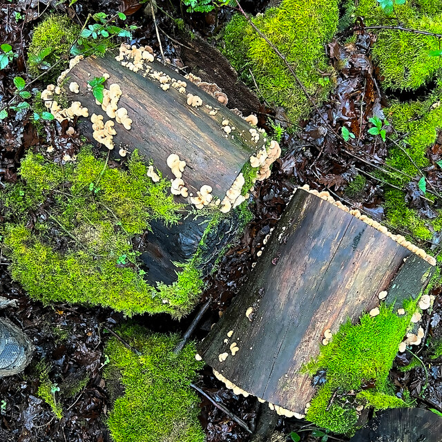
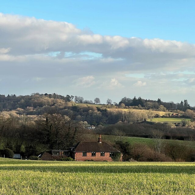
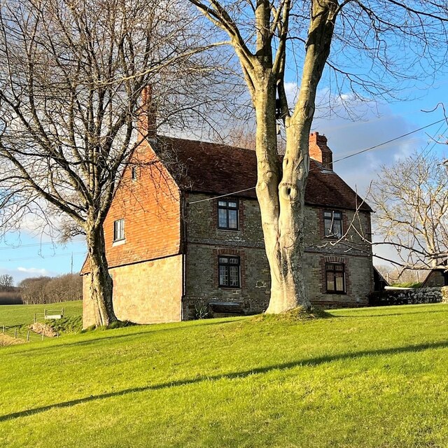
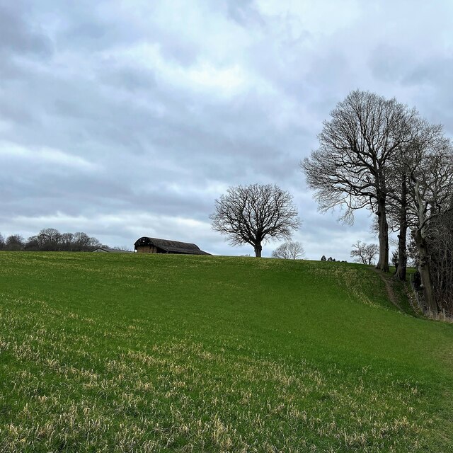
River Images

Images are sourced within 2km of 50.998237/-0.663957 or Grid Reference SU9322. Thanks to Geograph Open Source API. All images are credited.

Logs, moss and fungi on Upperton Common
View ESE towards Leggatt Hill
House at Redlands Farm
View SW towards Redlands Farm The Serpent Trail follows the edge of the wood on the right.
View SW towards Redlands Farm
The Serpent Trail follows the edge of the wood on the right.
House at Salmonsbridge Farm
Tree NW of Lodge Farm - view to the north
The Old Rectory
The Old Rectory
View SSW from the path south of Lodsworth The South Downs can be seen in the distance.
View SSW from the path south of Lodsworth
The South Downs can be seen in the distance.
Pound House I suppose this has to be a cross-grid shot because the centre of the house is in the square to the west of the camera. However the right-hand third of the house is in the same square as the camera!
Pound House
I suppose this has to be a cross-grid shot because the centre of the house is in the square to the west of the camera. However the right-hand third of the house is in the same square as the camera!
"Factory" near Halfway Bridge This rather unusual and functional-looking building is labelled "factory" on the map. We need a bit of local knowledge to furnish a better description. The bulk of the building is in the square to the south of the camera, so it counts as a cross-grid shot.
"Factory" near Halfway Bridge
This rather unusual and functional-looking building is labelled "factory" on the map. We need a bit of local knowledge to furnish a better description. The bulk of the building is in the square to the south of the camera, so it counts as a cross-grid shot.
The Old Vicarage It's interesting that Lodsworth also has an "Old Rectory". See:<a title="https://www.geograph.org.uk/photo/7136962" href="https://www.geograph.org.uk/photo/7136962">Link</a>
The Old Vicarage
It's interesting that Lodsworth also has an "Old Rectory". See:Link
The Old House
The Old House
Old Langham Farm I've taken the name from the map. This rather elegant house doesn't look like a farmhouse, and it's right in the centre of the village too.
Old Langham Farm
I've taken the name from the map. This rather elegant house doesn't look like a farmhouse, and it's right in the centre of the village too.
View NW towards Bexleyhill The mast of Midhurst Transmitting Station can be seen on the summit of Bexleyhill.
View NW towards Bexleyhill
The mast of Midhurst Transmitting Station can be seen on the summit of Bexleyhill.
House in River The house appears to be called "High Bank" according to the map. This is a cross-grid shot. The camera was in the square to the north.
House in River
The house appears to be called "High Bank" according to the map. This is a cross-grid shot. The camera was in the square to the north.
Stream NE of Eel Bridge Beyond Eel Bridge, this stream flows through a steep-sided little valley to Halfway Bridge. After that it joins the River Rother.
Stream NE of Eel Bridge
Beyond Eel Bridge, this stream flows through a steep-sided little valley to Halfway Bridge. After that it joins the River Rother.
Bridleway 3348 around Heathend Copse The bridleway runs along the parish boundary between Easebourne (left) and Lodsworth, with the copse on the right.
Bridleway 3348 around Heathend Copse
The bridleway runs along the parish boundary between Easebourne (left) and Lodsworth, with the copse on the right.
Show me another place!

River is located at Grid Ref: SU9322 (Lat: 50.998237, Lng: -0.663957)

Administrative County: West Sussex

District: Chichester

Police Authority: Sussex

What 3 Words

///vies.matter.scar. Near Petworth, West Sussex

Related Wikis

Pitshill

Pitshill is a Grade II* listed house built in the neoclassical style and is located within the Parish of Tillington a couple of miles west of Petworth...

Lodsworth

Lodsworth is a small village, ecclesiastical parish and civil parish in the Chichester district of West Sussex, England. It is situated between Midhurst...

River Lod, West Sussex

The River Lod is a short river draining about 52 km2 (20 sq mi) of north west Sussex. The main source is on the Greensand Ridge at Marley Heights near...

Upperton, West Sussex

Upperton is a hamlet in the Chichester district of West Sussex, England. Part of Tillington civil parish it lies on the Tillington to Lurgashall road 1...

Nearby Amenities

Located within 500m of 50.998237,-0.663957
River
Naptan AtcoCode: 4400MO0158
Naptan Bearing: SW
Naptan BusStopType: CUS
Naptan CommonName: River
Naptan Indicator: o/s Orchard House
Naptan Landmark: near Jacobs Ladder
Naptan NaptanCode: wsxdjajm
Naptan Street: River Lane
Naptan Verified: no
Source: naptan_import
Lat/Long: 50.9989128/-0.6647145
Barrier: stile
Lat/Long: 50.9987641/-0.6646111
Barrier: stile
Lat/Long: 50.9987938/-0.6618243
Barrier: stile
Lat/Long: 50.9988114/-0.6639718
Barrier: stile
Lat/Long: 50.9988688/-0.6644309
Barrier: stile
Lat/Long: 50.999667/-0.6636927
Barrier: stile
Lat/Long: 51.0001157/-0.6696838
Barrier: stile
Lat/Long: 51.0009824/-0.6673275
Barrier: stile
Lat/Long: 51.0015503/-0.666782
Barrier: stile
Lat/Long: 51.002131/-0.6655164
Barrier: stile
Lat/Long: 51.0022554/-0.6651604
Post Box
Collection Plate: CP5
Collection Times: Mo-Fr 16:00; Sa 08:30
Operator: Royal Mail
Post Box Type: wall
Ref: GU28 39
Royal Cypher: VR
Royal Cypher Wikidata: Q33102356
Lat/Long: 50.9987901/-0.6647951
Barrier: stile
Lat/Long: 50.9970207/-0.6654149
River
Place: hamlet
Source: NPE
Lat/Long: 50.9981242/-0.6646225
The data included in this document is from www.openstreetmap.org. The data is made available under ODbL.

Have you been to River?

Leave your review of River below (or comments, questions and feedback).