Randlay
Settlement in Shropshire
England
Randlay
Randlay is a small village located in the borough of Telford and Wrekin, in the county of Shropshire, England. Situated approximately 2 miles east of Telford town center, Randlay is a residential area with a population of around 3,000 people.
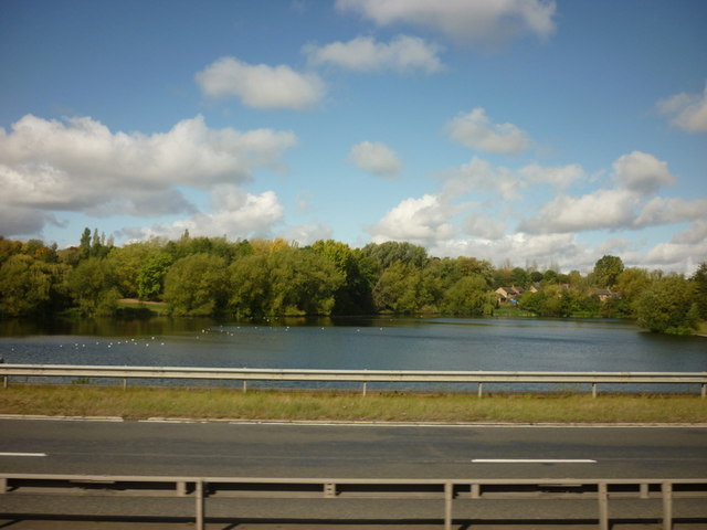
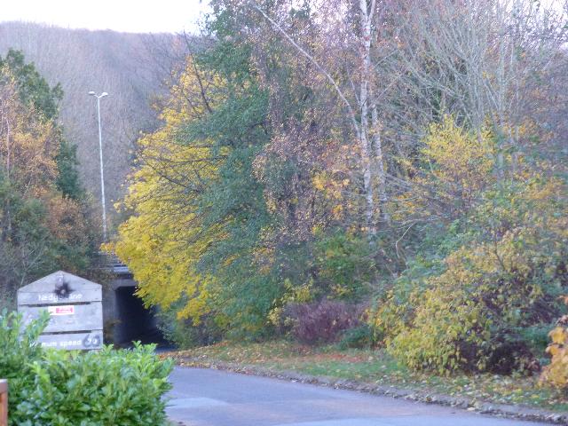
The village is known for its picturesque setting, surrounded by beautiful countryside and green spaces. It offers a tranquil escape from the bustling urban life, making it an ideal place for families and nature enthusiasts. The nearby Telford Town Park provides ample opportunities for outdoor activities such as walking, jogging, and picnicking.
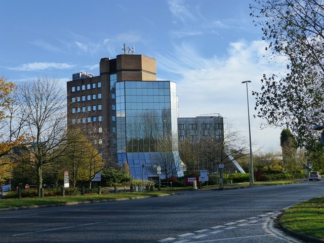
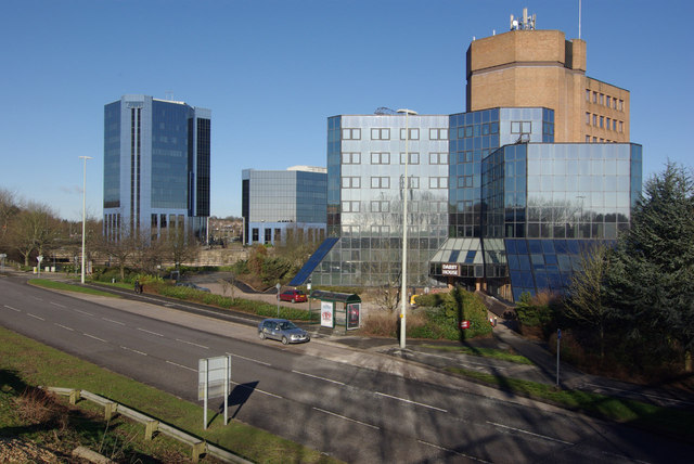
Randlay has a range of amenities to serve its residents, including a primary school, a community center, and several shops and local businesses. The village also benefits from excellent transport links, with easy access to major roads and public transportation, making it convenient for commuting to neighboring towns and cities.
Historically, Randlay was a mining village, with coal mining being a significant industry in the area during the 19th and early 20th centuries. Although the mining activities have ceased, the village still retains some of its industrial heritage, with remnants of old mine workings and buildings.
Overall, Randlay offers a peaceful and friendly community, surrounded by natural beauty, while also providing easy access to urban amenities and transport connections. It is a place where residents can enjoy a balanced lifestyle, embracing both the tranquility of rural living and the convenience of modern facilities.
If you have any feedback on the listing, please let us know in the comments section below.
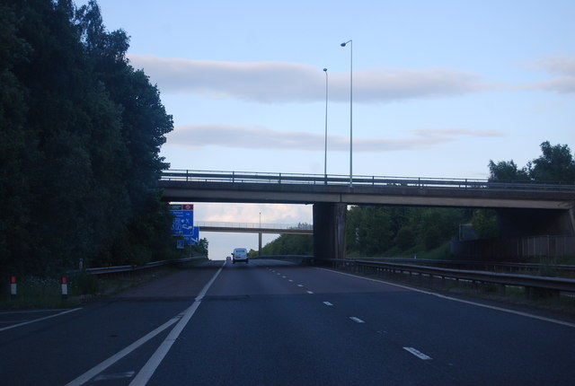
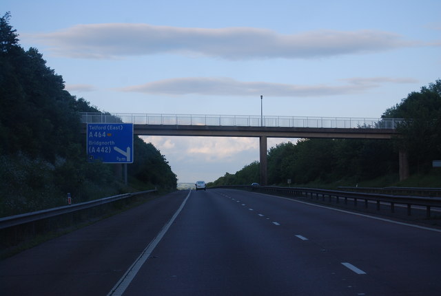
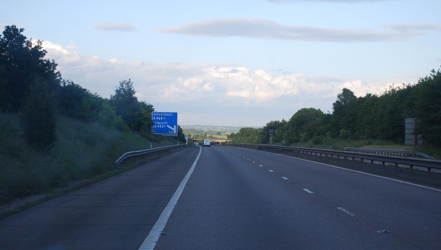
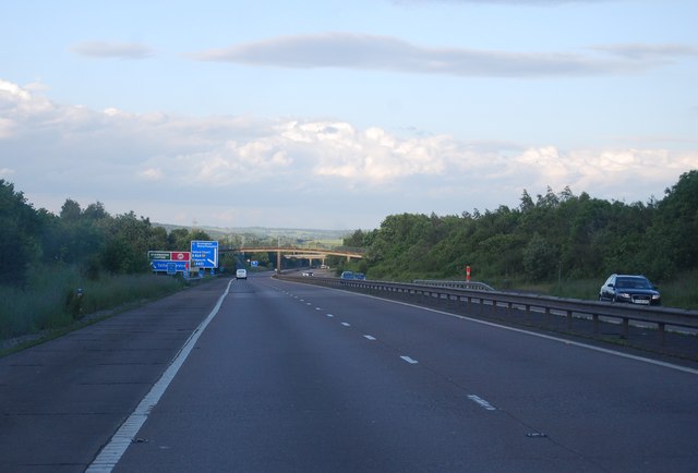
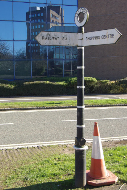
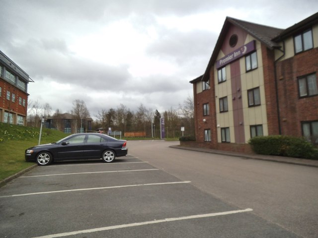
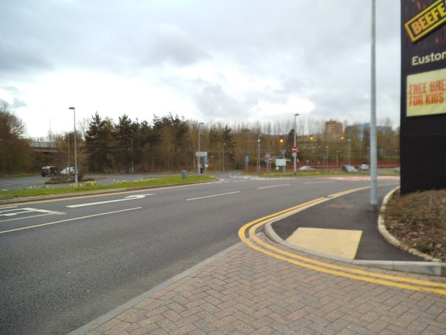
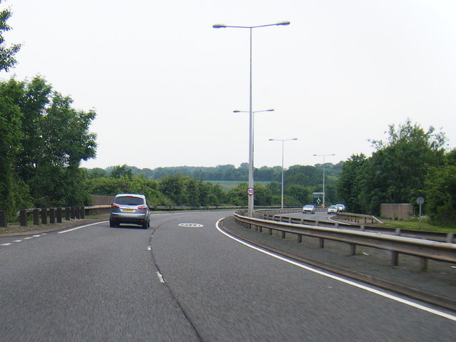
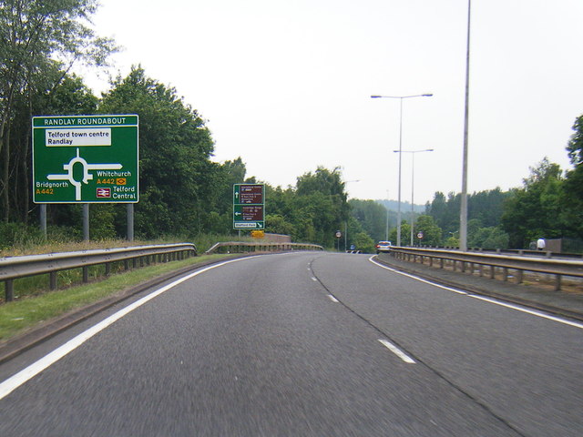
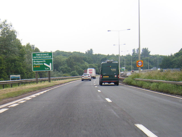
Randlay Images
Images are sourced within 2km of 52.664104/-2.430099 or Grid Reference SJ7107. Thanks to Geograph Open Source API. All images are credited.
Randlay is located at Grid Ref: SJ7107 (Lat: 52.664104, Lng: -2.430099)
Unitary Authority: Telford and Wrekin
Police Authority: West Mercia
What 3 Words
///tungsten.district.regaining. Near Telford, Shropshire
Nearby Locations
Related Wikis
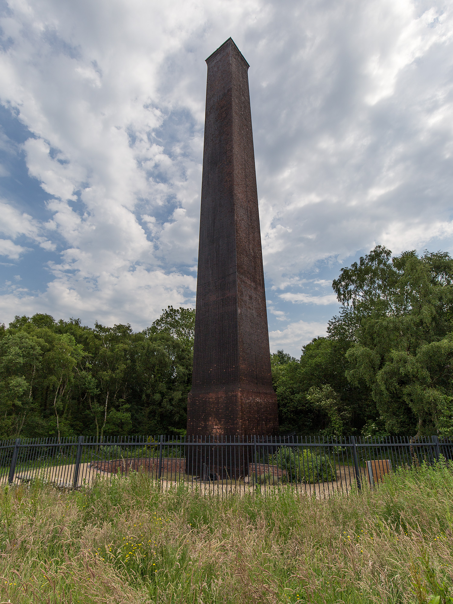
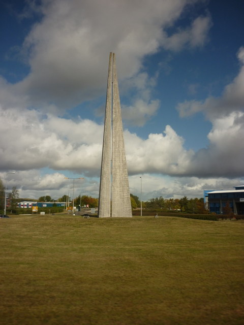
Stirchley Chimney
Stirchley Chimney is a chimney located in Telford Town Park. The chimney also marks a notable waypoint on the South Telford Heritage Trail. Measuring 209...

Telford Park School
The Telford Park School is a coeducational secondary school located in Stirchley, Telford, Shropshire, England. The school grounds was first established...

Brookside, Telford
Brookside is a housing estate and borough and parish council ward in Telford, Shropshire, England. The original settlement of Brookside is a Radburn estate...

Stirchley, Shropshire
Stirchley is a large village and suburb of Telford, in the borough of Telford and Wrekin and ceremonial county of Shropshire, England. Stirchley lies just...
Nearby Amenities
Located within 500m of 52.664104,-2.430099Have you been to Randlay?
Leave your review of Randlay below (or comments, questions and feedback).