Nedge Hill

Settlement in Shropshire

England

Nedge Hill

The Obelisk on the Nairn roundabout Telford
The Obelisk on the Nairn roundabout Telford Credit: Ian S

Nedge Hill is a small village located in the county of Shropshire, England. It is situated on a hilltop, offering breathtaking views of the surrounding countryside. The village is part of the civil parish of Shifnal and is approximately 3 miles southeast of the town center.

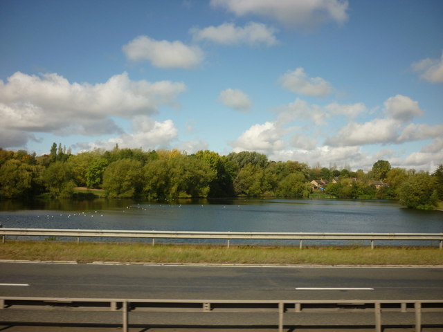
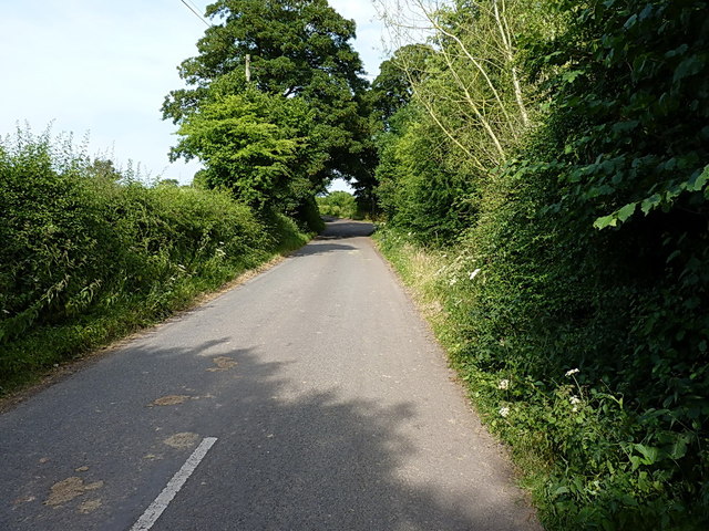
Nedge Hill is known for its picturesque landscapes and tranquil atmosphere, making it a popular destination for nature lovers and hikers. The area is dotted with rolling hills, dense woodlands, and open fields, providing ample opportunities for outdoor activities such as walking, cycling, and birdwatching.

The village itself is characterized by its quaint and traditional cottages, many of which date back several centuries. It has a close-knit community, with a small population of residents who take pride in maintaining the area's charm and character.

Despite its rural setting, Nedge Hill benefits from its proximity to nearby towns and amenities. The town of Shifnal, with its range of shops, restaurants, and services, is just a short drive away. Additionally, the village is conveniently located near major transport links, including the M54 motorway and Shifnal railway station, providing easy access to other parts of Shropshire and beyond.

In summary, Nedge Hill is a picturesque village nestled in the beautiful Shropshire countryside. With its stunning landscapes, historic cottages, and close community, it offers a peaceful retreat for those seeking a slower pace of life while still enjoying the conveniences of nearby towns.

If you have any feedback on the listing, please let us know in the comments section below.
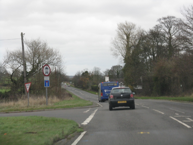
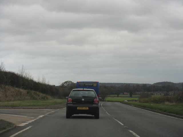
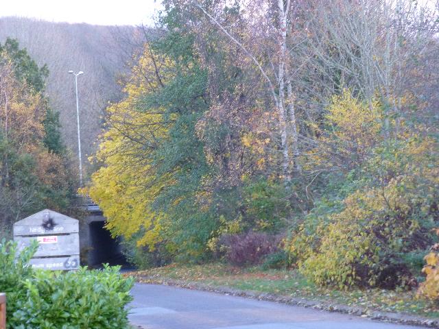
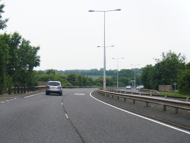
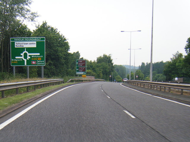
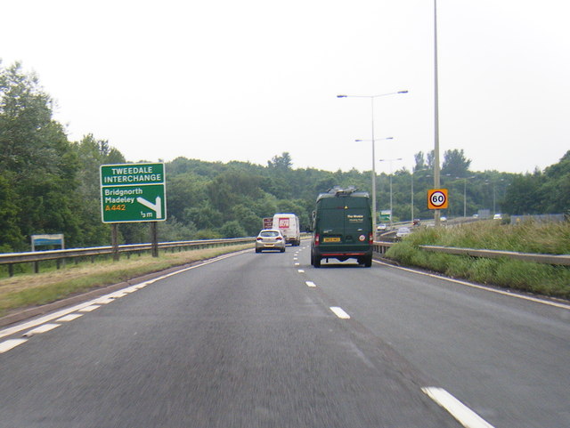
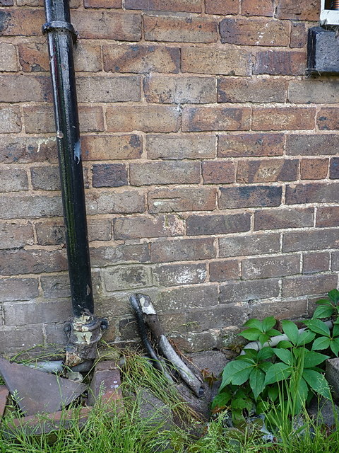
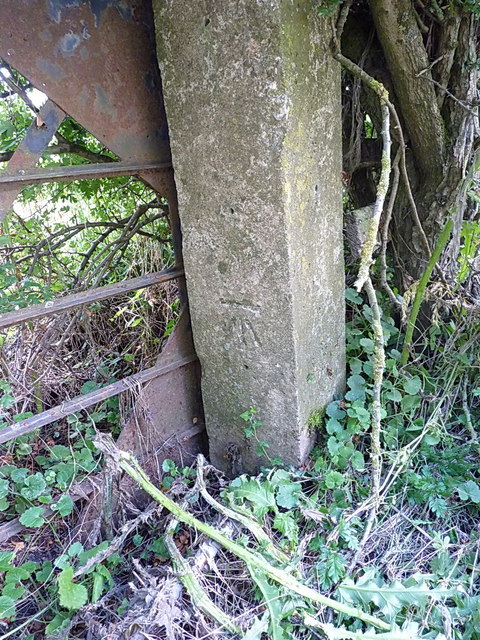
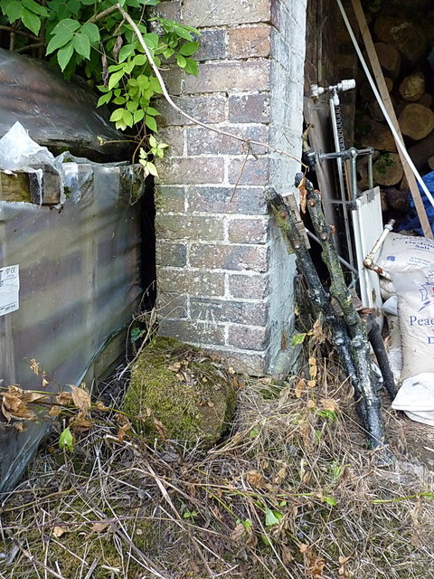
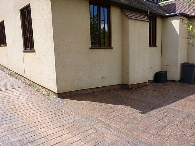
Nedge Hill Images

Images are sourced within 2km of 52.661968/-2.4184672 or Grid Reference SJ7107. Thanks to Geograph Open Source API. All images are credited.

The Obelisk on the Nairn roundabout Telford
Holmer Lake from the A442, Queenway
Telford International Hotel Typical modern sleeping facility.
Telford International Hotel
Typical modern sleeping facility.
St. Quentin Roundabout Taken from the entrance to the nearby hotel.
St. Quentin Roundabout
Taken from the entrance to the nearby hotel.
A4169 at Hem Lane
A4169 at Hem Lane
A4169 at the junction for The Wyke
Nedge Lane, Telford Leading under the A442 towards Nedge Farm.
Nedge Lane, Telford
Leading under the A442 towards Nedge Farm.
A464 heads towards Naird's Roundabout
A464 nears Randlay Roundabout
A442 nears Tweedale Interchange
Flush Bracket 2497 - The Hem Ordnance Survey Flush Bracket, attached to the wall of a cottage at The Hem; as you can see, it's partially obscured by a downpipe, and was also hiding behind a potted rose which the owner kindly moved for me.
Flush Bracket 2497 - The Hem
Ordnance Survey Flush Bracket, attached to the wall of a cottage at The Hem; as you can see, it's partially obscured by a downpipe, and was also hiding behind a potted rose which the owner kindly moved for me.
The old Shifnal Road This short stretch of the old A4169 was isolated from the fast traffic when the road was realigned a few yards to the north in the 1970s. It now gives access to a number of cottages and barn conversions at The Hem, and provides a means of access to the Shifnal sewage works, Field Lane and Kemberton.
The old Shifnal Road
This short stretch of the old A4169 was isolated from the fast traffic when the road was realigned a few yards to the north in the 1970s. It now gives access to a number of cottages and barn conversions at The Hem, and provides a means of access to the Shifnal sewage works, Field Lane and Kemberton.
OS benchmark - House at The Hem A cutmark in the brickwork of a semi-detached cottage just east of The Hem, levelled at a height of 87.3892m, 286'8" above Ordnance Datum Nelwyn.
OS benchmark - House at The Hem
A cutmark in the brickwork of a semi-detached cottage just east of The Hem, levelled at a height of 87.3892m, 286'8" above Ordnance Datum Nelwyn.
OS benchmark - gatepost near Hem Manor Farm An OS benchmark in a concrete gatepost just to the east of Hem Manor Farm, levelled at a height of 89.8087m, 294'7" above Ordnance Datum Newlyn.
OS benchmark - gatepost near Hem Manor Farm
An OS benchmark in a concrete gatepost just to the east of Hem Manor Farm, levelled at a height of 89.8087m, 294'7" above Ordnance Datum Newlyn.
OS benchmark - outbuilding at Hem Mill An OS cutmark in the brickwork of an outbuilding/garage at Hem Mill, levelled at 97.7555m, 320'9" above Ordnance Datum Newlyn.
OS benchmark - outbuilding at Hem Mill
An OS cutmark in the brickwork of an outbuilding/garage at Hem Mill, levelled at 97.7555m, 320'9" above Ordnance Datum Newlyn.
Site of a one-time OS benchmark This recently-rendered house (Oak House, I think is the name) originally had an OS benchmark on this wall. It's no longer visible, if indeed it survives under the rendering.
Site of a one-time OS benchmark
This recently-rendered house (Oak House, I think is the name) originally had an OS benchmark on this wall. It's no longer visible, if indeed it survives under the rendering.
OS benchmark - Middle Wyke Farm A cutmark in the sandstone of what is now a barn conversion at Middle Wyke Farm. The owner (his hand's on the right, mine on the left) didn't know it was there, but we found it lurking behind the wysteria. Levelled at 121.6444m, 399'1" above Ordnance Datum Newlyn.
OS benchmark - Middle Wyke Farm
A cutmark in the sandstone of what is now a barn conversion at Middle Wyke Farm. The owner (his hand's on the right, mine on the left) didn't know it was there, but we found it lurking behind the wysteria. Levelled at 121.6444m, 399'1" above Ordnance Datum Newlyn.
OS benchmark - The Wyke Equestrian Centre A cutmark in the brick gable of one of the stables at The Wyke. Levelled at 121.7441m, 399'1" above Ordnance Datum Newlyn.
OS benchmark - The Wyke Equestrian Centre
A cutmark in the brick gable of one of the stables at The Wyke. Levelled at 121.7441m, 399'1" above Ordnance Datum Newlyn.
Show me another place!

Nedge Hill is located at Grid Ref: SJ7107 (Lat: 52.661968, Lng: -2.4184672)

Unitary Authority: Telford and Wrekin

Police Authority: West Mercia

What 3 Words

///clustered.tower.helpers. Near Telford, Shropshire

Related Wikis

Telford Park School

The Telford Park School is a coeducational secondary school located in Stirchley, Telford, Shropshire, England. The school grounds was first established...

Brookside, Telford

Brookside is a housing estate and borough and parish council ward in Telford, Shropshire, England. The original settlement of Brookside is a Radburn estate...

Stirchley, Shropshire

Stirchley is a large village and suburb of Telford, in the borough of Telford and Wrekin and ceremonial county of Shropshire, England. Stirchley lies just...
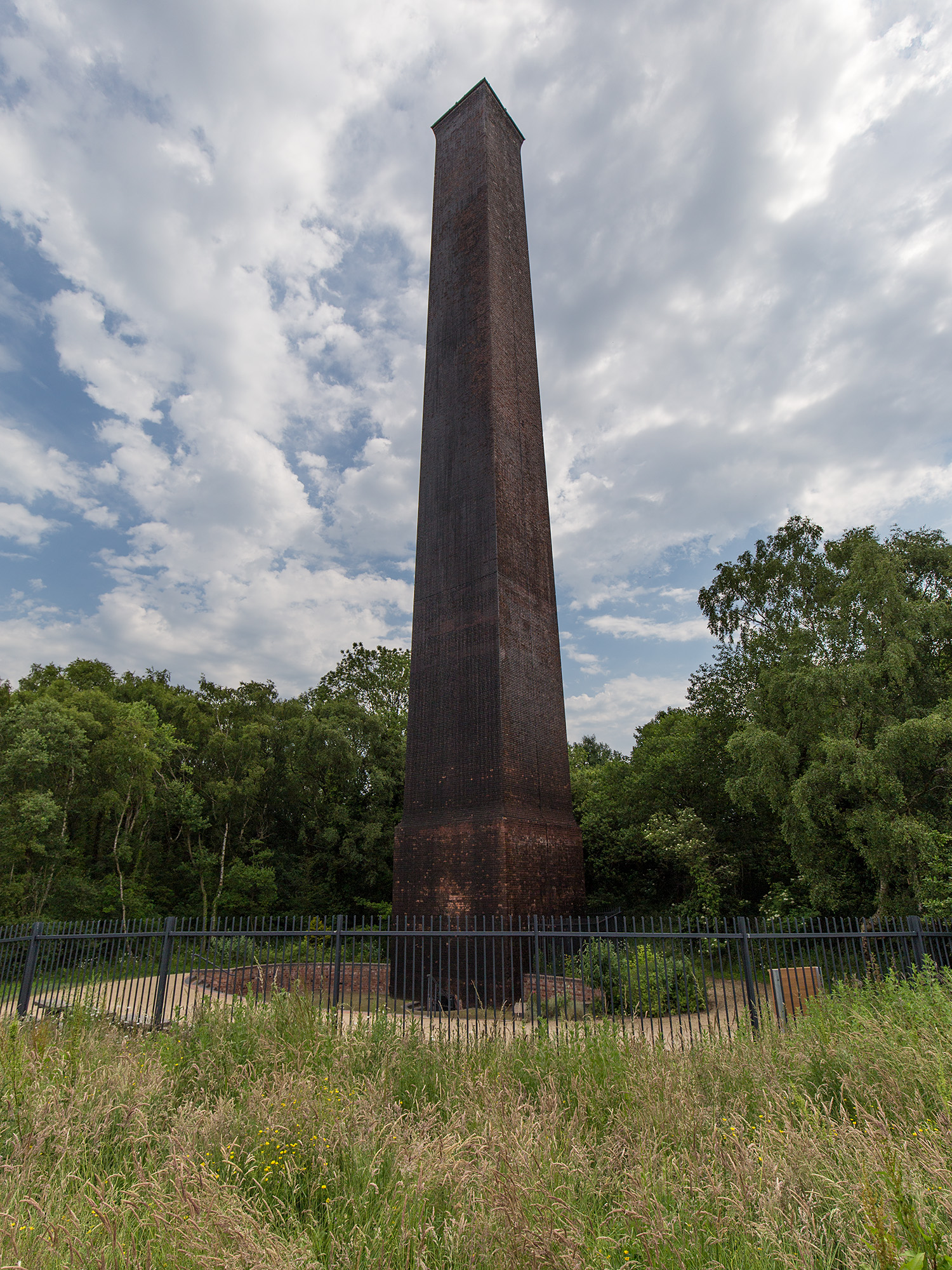
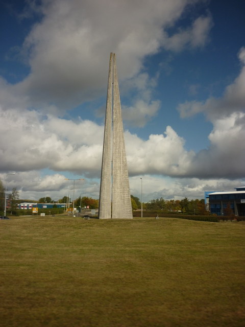
Stirchley Chimney

Stirchley Chimney is a chimney located in Telford Town Park. The chimney also marks a notable waypoint on the South Telford Heritage Trail. Measuring 209...

Nearby Amenities

Located within 500m of 52.661968,-2.4184672
Nedge Hill
Ele: 163
Natural: peak
Lat/Long: 52.6636041/-2.4185798
Source: OS_OpenData_StreetView
Tourism: picnic_site
Lat/Long: 52.6612703/-2.4181287
The data included in this document is from www.openstreetmap.org. The data is made available under ODbL.

Have you been to Nedge Hill?

Leave your review of Nedge Hill below (or comments, questions and feedback).