Randlay Wood
Wood, Forest in Shropshire
England
Randlay Wood
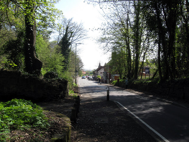
Randlay Wood is a picturesque forest located in Shropshire, England. Covering an area of approximately 50 hectares, it is a popular destination for nature lovers and outdoor enthusiasts. The wood is situated on the outskirts of the town of Telford, making it easily accessible for both locals and visitors.
Randlay Wood is predominantly made up of deciduous trees, including oak, birch, and beech. These trees create a lush and diverse ecosystem, providing a habitat for a wide range of flora and fauna. The forest floor is covered in a thick carpet of ferns and moss, adding to its natural beauty.
Visitors to Randlay Wood can enjoy various activities such as walking, cycling, and birdwatching. The forest is crisscrossed with well-maintained trails that offer different levels of difficulty, catering to all fitness levels. These trails provide an opportunity to explore the wood's hidden treasures and discover its unique wildlife.
One of the standout features of Randlay Wood is its rich history. The forest has been around for centuries and is believed to have been part of the ancient woodland that covered much of England. It is also home to several archaeological sites, including an Iron Age hillfort, which adds an element of intrigue and fascination for history enthusiasts.
Randlay Wood is a haven for wildlife, with a plethora of bird species, mammals, and insects calling it home. Birdwatchers can spot species such as woodpeckers, owls, and warblers, while deer and squirrels can often be seen darting through the trees.
In summary, Randlay Wood is a captivating forest in Shropshire, offering a tranquil escape from urban life. With its diverse flora and fauna, well-maintained trails, and rich history, it is a must-visit destination for nature enthusiasts and history buffs alike.
If you have any feedback on the listing, please let us know in the comments section below.
Randlay Wood Images
Images are sourced within 2km of 52.668751/-2.4296671 or Grid Reference SJ7107. Thanks to Geograph Open Source API. All images are credited.
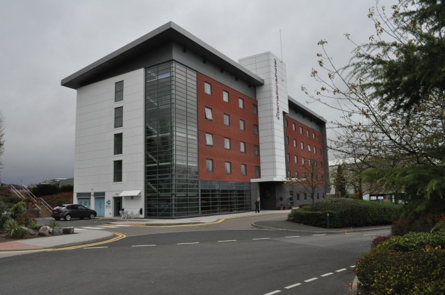
![Telford Central Station and car park On Euston Way, just off Queensway [A442] and the Hollinswood Interchange with the A5.](https://s0.geograph.org.uk/geophotos/02/30/25/2302572_3faefe21.jpg)

![Telford Central Looking across the Queensway [A442], and over Central Station to Euston Way, the Premier Inn and Euston Way Beefeater.](https://s1.geograph.org.uk/geophotos/02/30/32/2303213_5529ea09.jpg)
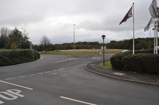
![Telford Queensway The A442 at its junction with the A5 [Holyhead Road], Hollinsgate, Rampart Way and Euston Way.](https://s3.geograph.org.uk/geophotos/02/30/32/2303219_817bafa3.jpg)
Randlay Wood is located at Grid Ref: SJ7107 (Lat: 52.668751, Lng: -2.4296671)
Unitary Authority: Telford and Wrekin
Police Authority: West Mercia
What 3 Words
///pursuing.fuzzy.procures. Near Telford, Shropshire
Nearby Locations
Related Wikis

Malins Lee railway station
Malins Lee railway station was a station in Malinslee, Shropshire, England. The station was opened in 1862 and closed in 1952. The station site marks the...
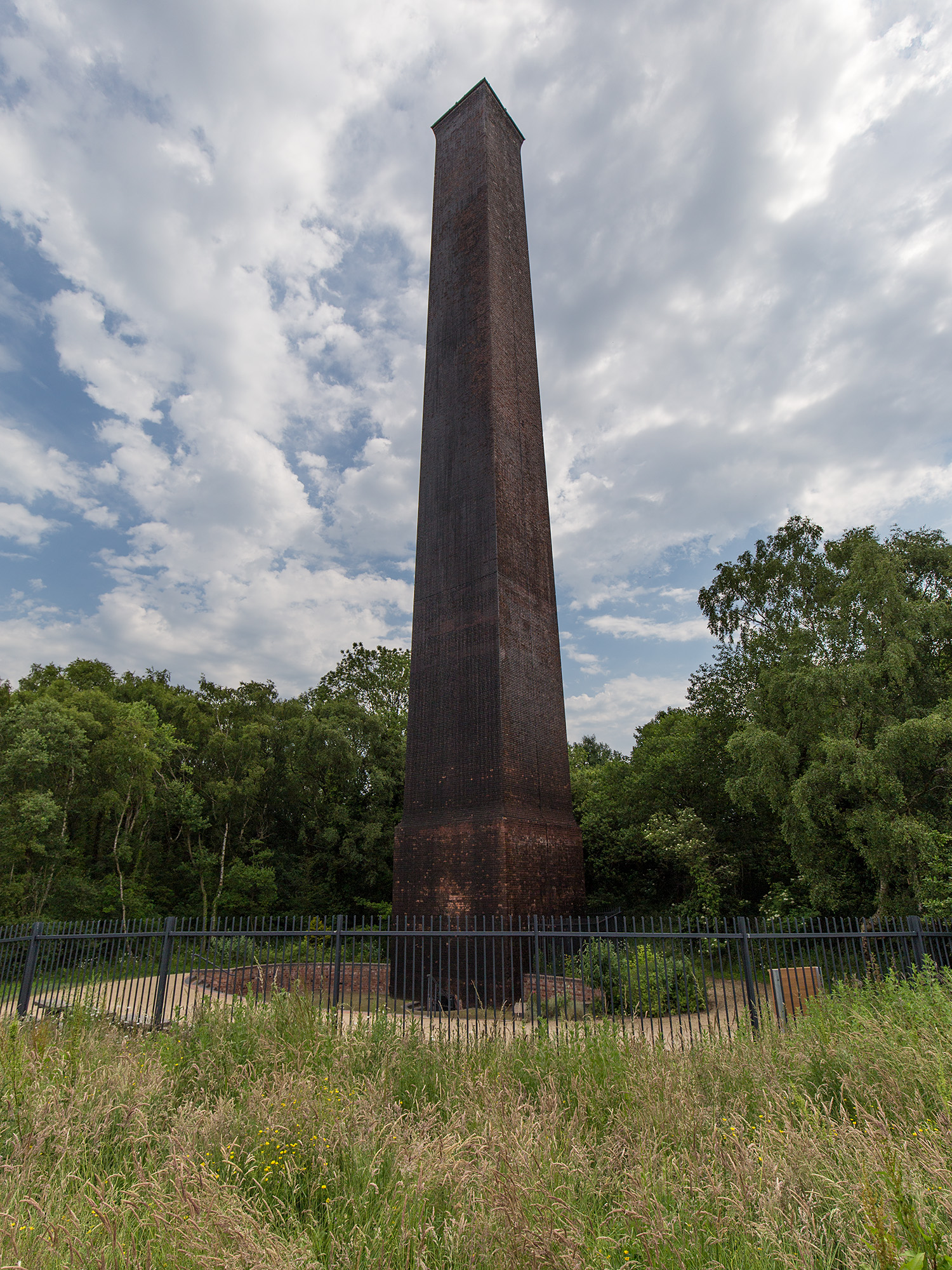
Stirchley Chimney
Stirchley Chimney is a chimney located in Telford Town Park. The chimney also marks a notable waypoint on the South Telford Heritage Trail. Measuring 209...

South Telford Heritage Trail
The South Telford Heritage Trail is a circular, waymarked walking route that passes by forty-nine heritage sites in the English town of Telford. ��2�...

Telford Ice Rink
Telford Ice Rink is located in the £250m Southwater Complex in Telford, Shropshire, England. The ice rink is home to National Ice Hockey League team the...
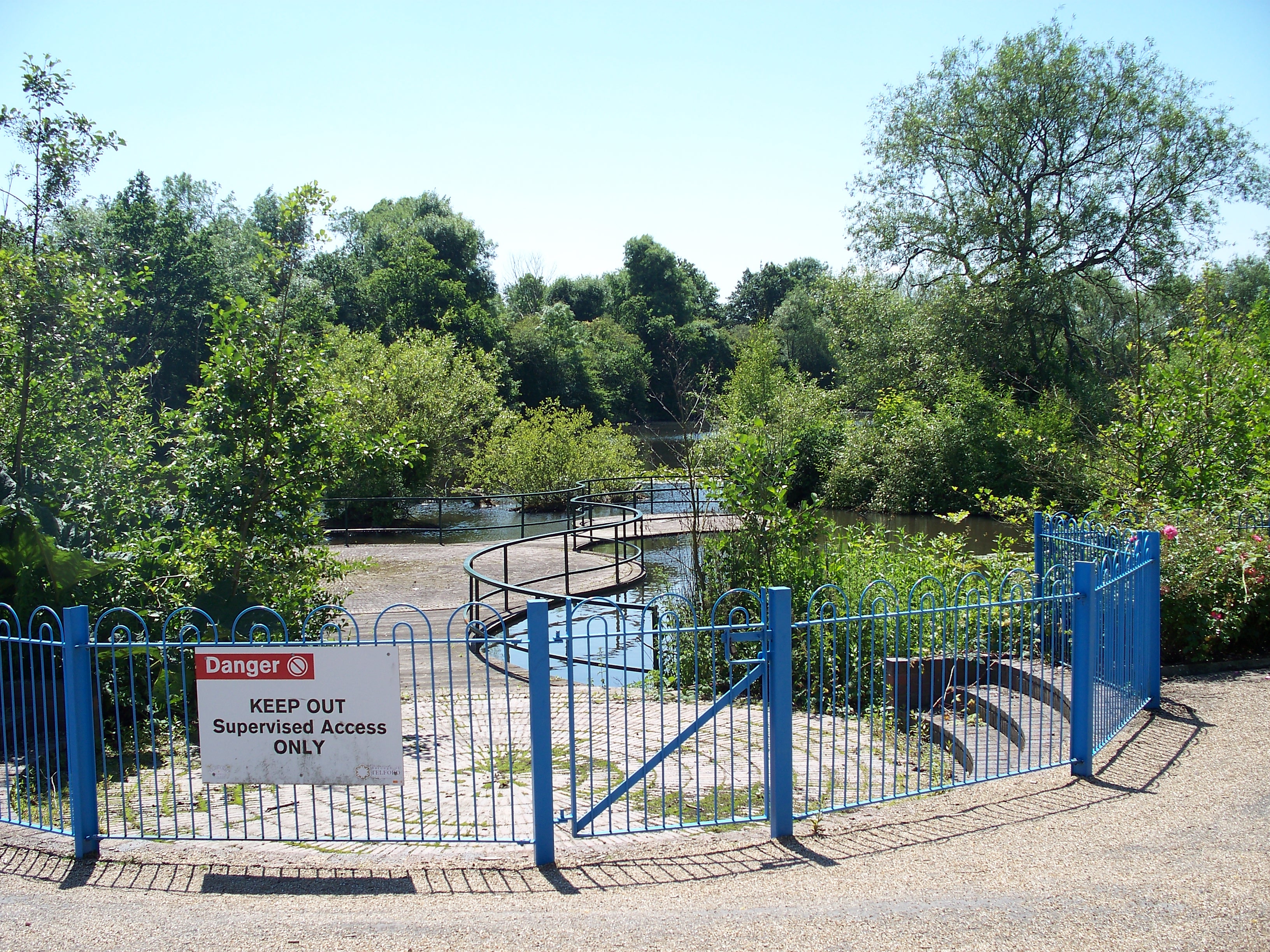
Telford Town Park
Telford Town Park is a park and Local Nature Reserve in Telford in Shropshire. In 2015, it was voted "UK's Best Park" in the inaugural public competition...

Telford
Telford ( ) is a town in Shropshire, England. It is the administrative centre of Telford and Wrekin borough, a unitary authority which covers the town...

Telford and Wrekin
Telford and Wrekin is a borough and unitary authority in Shropshire, England. In 1974, a non-metropolitan district of Shropshire was created called The...

Telford Park School
The Telford Park School is a coeducational secondary school located in Stirchley, Telford, Shropshire, England. The school grounds was first established...
Related Videos

We Got A Call About People Walking Around? 👮♂️👮♀️
TheTorbinator1.


Uncovering an Incredible Hotel Room Experience | Holiday Inn Telford - Ironbridge, Shropshire
In this video, we'll be uncovering an incredible hotel room experience at Holiday Inn Telford - Ironbridge, Shropshire. Holidays are ...

Nasty Shock at Telford Xmas Market !!
We come away from Home, 120 miles and look who we bump into???
Nearby Amenities
Located within 500m of 52.668751,-2.4296671Have you been to Randlay Wood?
Leave your review of Randlay Wood below (or comments, questions and feedback).