Nedge Hill
Settlement in Somerset Mendip
England
Nedge Hill
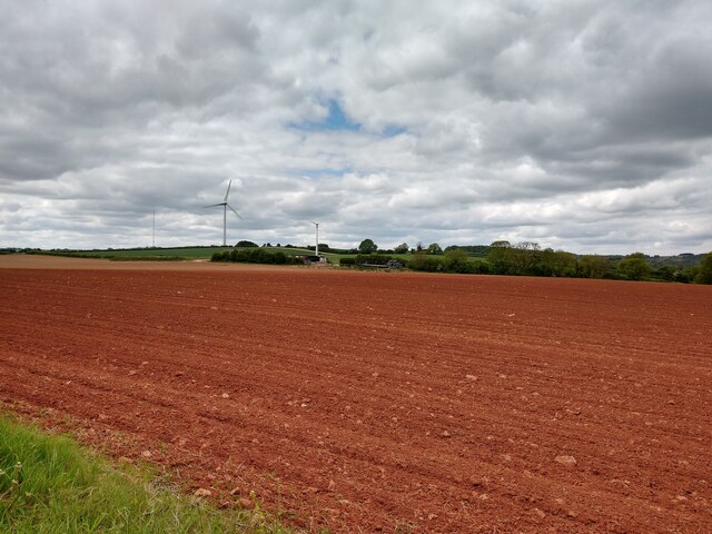
Nedge Hill is a small village located in the county of Somerset, England. Situated approximately 8 miles southwest of the city of Bath, Nedge Hill offers a tranquil and picturesque setting surrounded by rolling green hills and fields.
The village is known for its rich historical heritage, with evidence of settlements dating back to Roman times. The name "Nedge" is derived from the Old English word "necg," meaning "ridge," which accurately describes the location of the village atop a gentle slope.
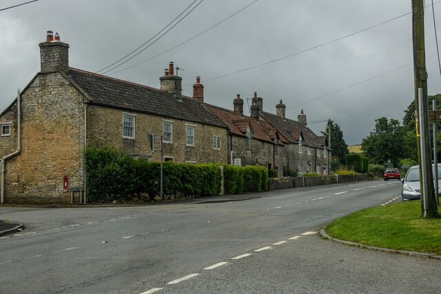
Nedge Hill is a close-knit community, with a population of around 200 residents. The village is predominantly residential, featuring a mix of traditional stone cottages and more modern houses. The village center is home to a small local pub, serving as a gathering place for locals and visitors alike.
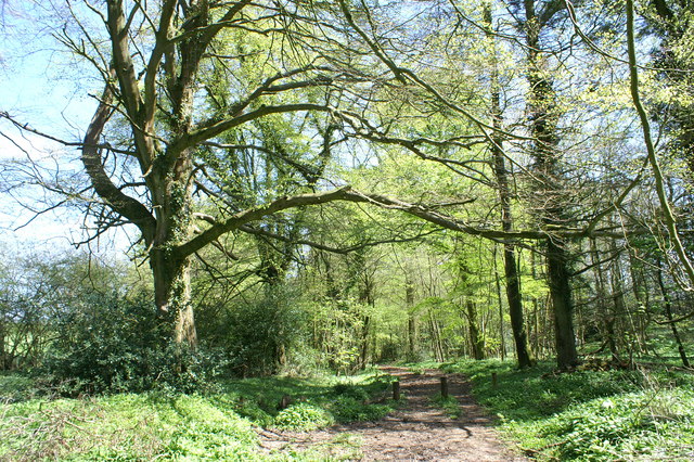
Nature enthusiasts will find plenty to explore in the surrounding countryside. The area offers numerous scenic walking trails, providing breathtaking views of the Somerset landscape. Nedge Hill is also located within close proximity to several nature reserves, including the popular Blackdown and Quantock Hills, offering further opportunities for outdoor recreation and wildlife spotting.
While Nedge Hill itself is a relatively quiet village, it benefits from its convenient location. The nearby city of Bath provides residents with access to a wide range of amenities, including shopping centers, restaurants, and cultural attractions.
Overall, Nedge Hill offers a peaceful and idyllic countryside setting, making it a desirable place to live for those seeking a slower pace of life and a strong sense of community.
If you have any feedback on the listing, please let us know in the comments section below.
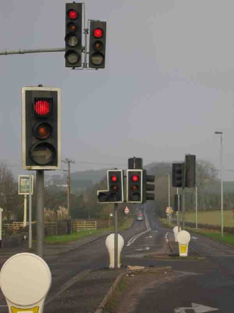
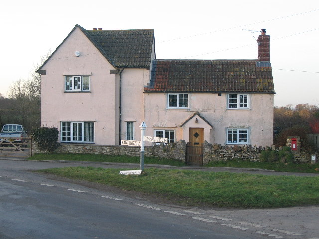
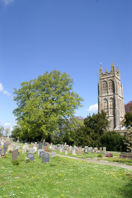
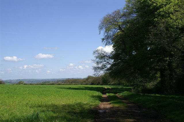
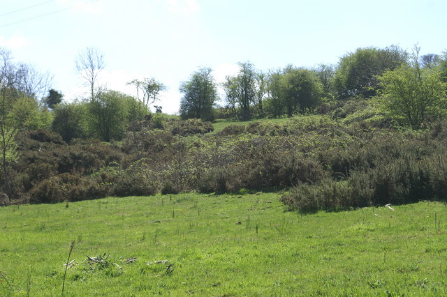
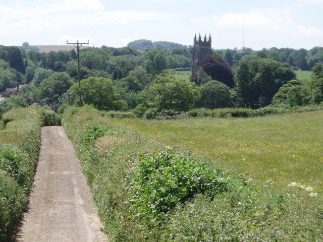
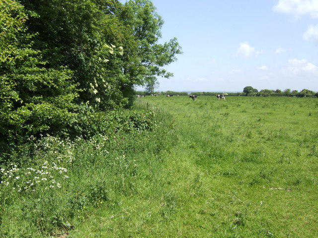
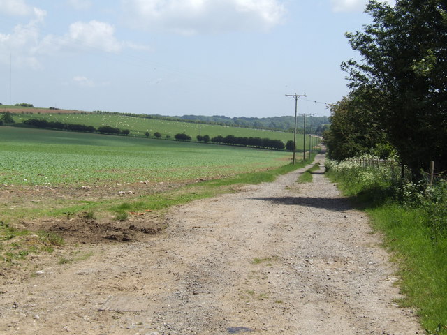
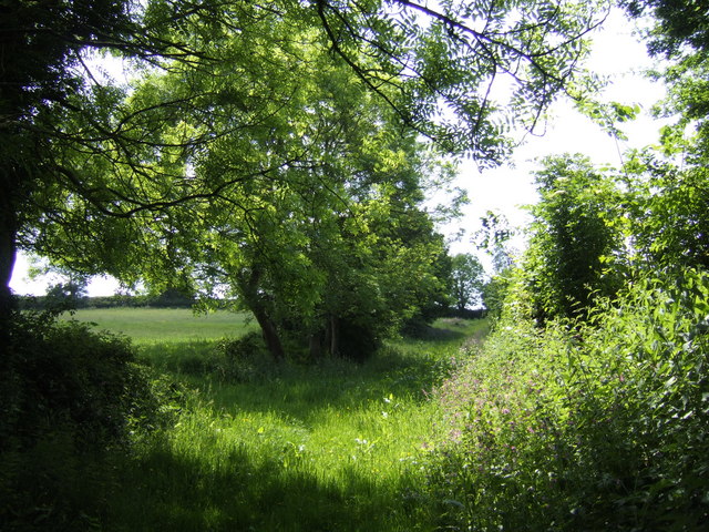
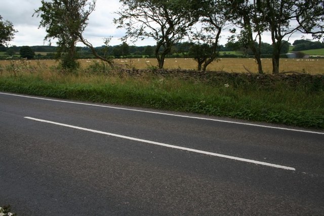
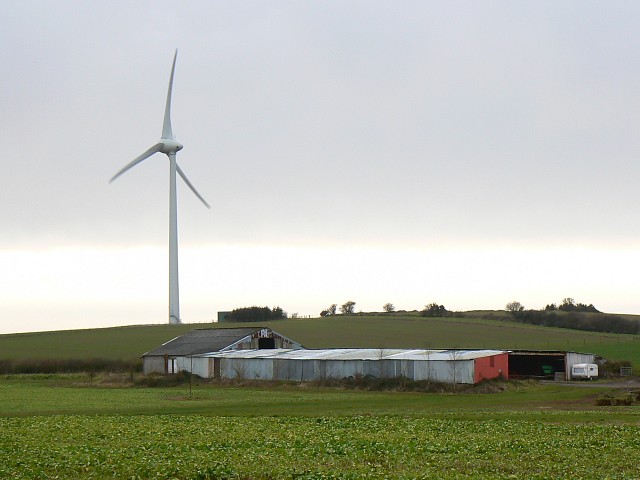
Nedge Hill Images
Images are sourced within 2km of 51.260653/-2.592865 or Grid Reference ST5851. Thanks to Geograph Open Source API. All images are credited.


Nedge Hill is located at Grid Ref: ST5851 (Lat: 51.260653, Lng: -2.592865)
Administrative County: Somerset
District: Mendip
Police Authority: Avon and Somerset
What 3 Words
///blueberry.trifling.protest. Near Mendip, Somerset
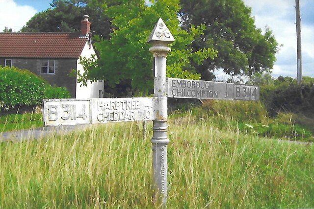
Nearby Locations
Related Wikis
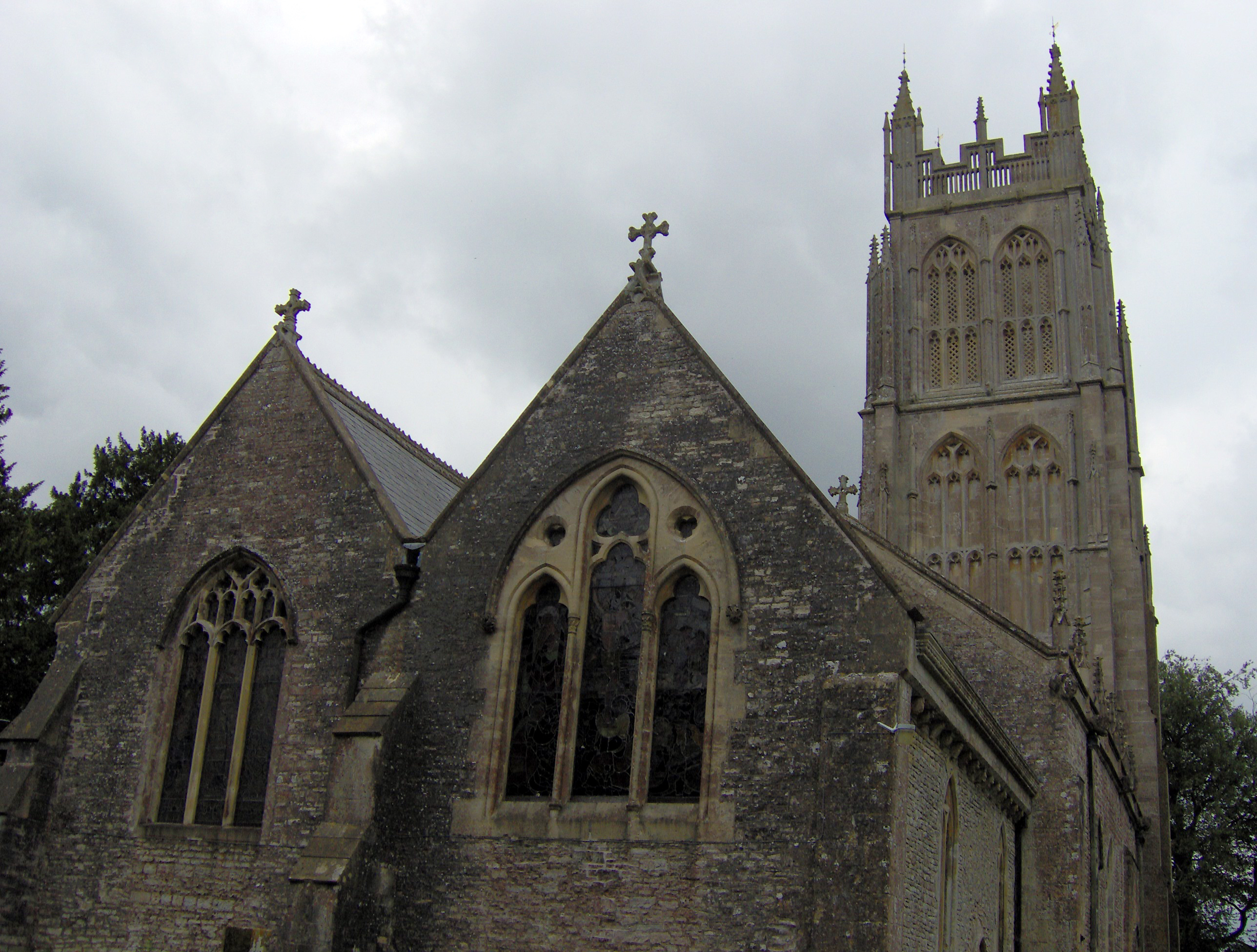
Chewton Mendip
Chewton Mendip is a village and civil parish in Somerset, England. It is situated 4 miles (6 km) north of Wells, 16 miles (26 km) south of Bath and Bristol...

Attborough Swallet
Attborough Swallet (also known as Red Quar Swallet) is a cave in Chewton Mendip in Somerset, England. It is unusual for a cave on the Mendip Hills in that...

Emborough
Emborough is a village and civil parish 5 miles (8.0 km) north of Shepton Mallet, and 5 miles (8.0 km) north east of Wells, in the Mendip district of Somerset...
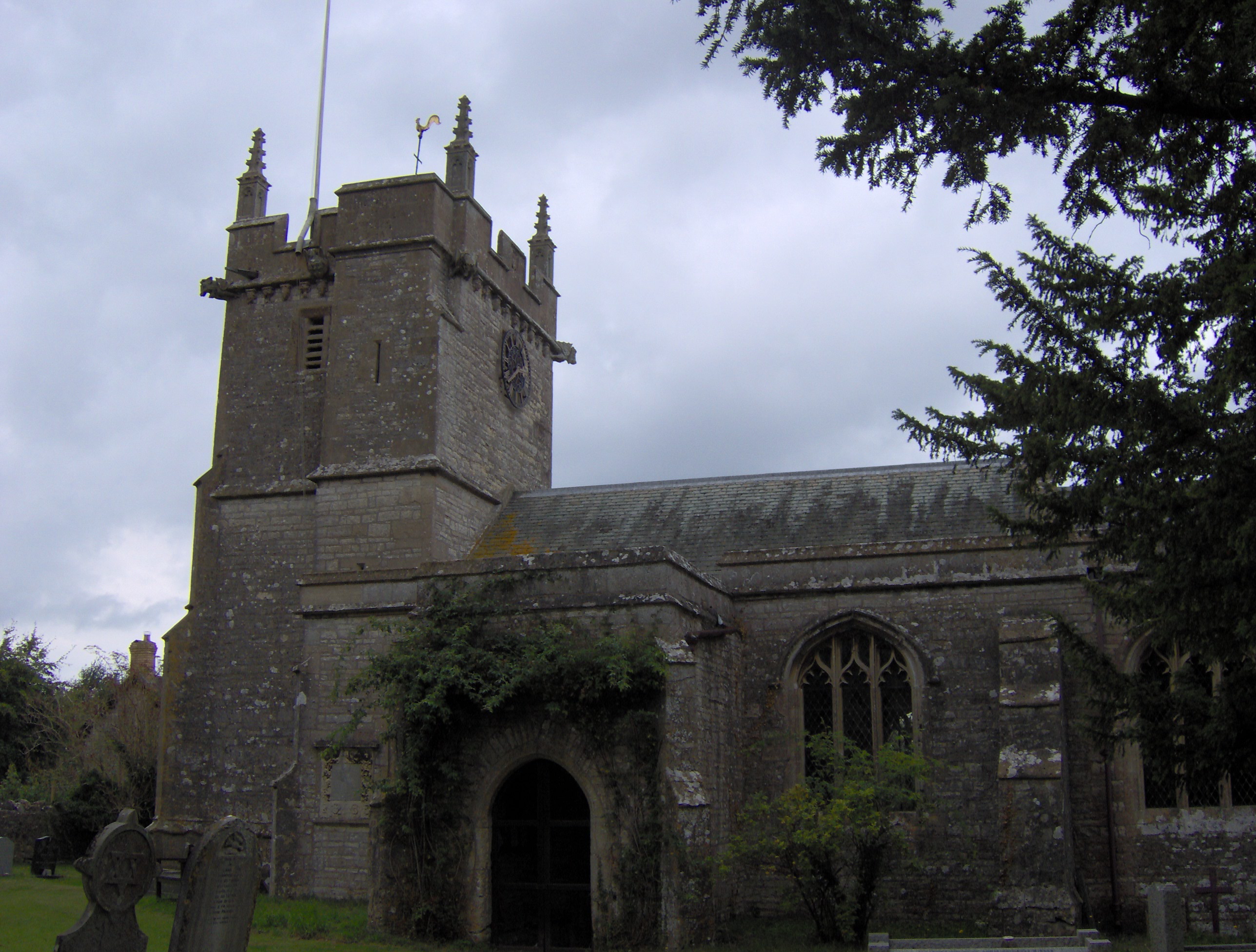
Church of the Blessed Virgin Mary, Emborough
The Church of the Blessed Virgin Mary in Emborough, Somerset, England is medieval in origin but underwent extensive renovation in the 18th century. It...
Litton, Somerset
Litton (grid reference ST593546) is a small village and civil parish between Chewton Mendip and West Harptree in the Mendip Hills, Somerset, England. The...
Drove Cottage Henge
Drove Cottage Henge (sometimes called Hunter's Lodge Henge) is a scheduled monument in the Priddy parish of Somerset, England. It is located 370 metres...
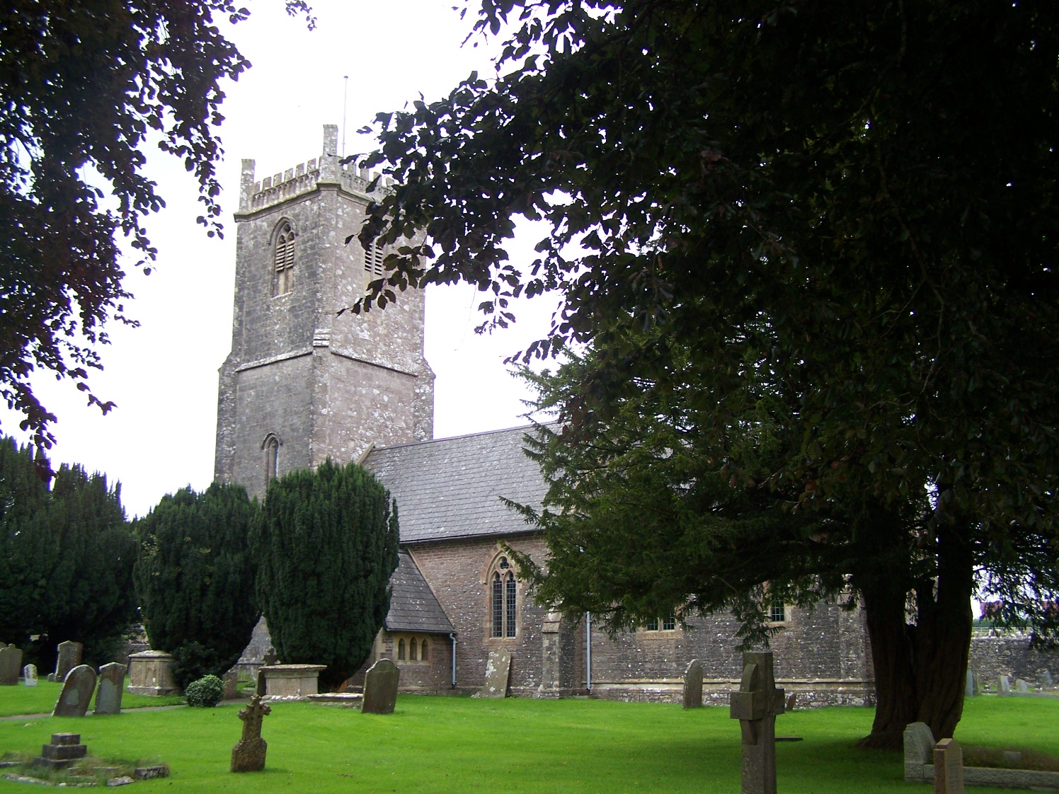
Church of the Holy Trinity, Binegar
The Anglican Church of the Holy Trinity, Binegar, Somerset, England is Norman but has been rebuilt and restored several times since. It is a Grade II*...
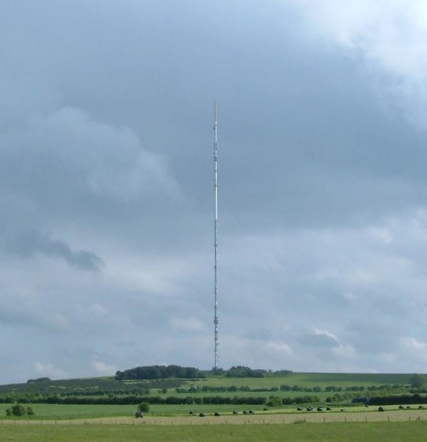
Mendip transmitting station
The Mendip transmitting station is a broadcasting and telecommunications facility on the summit of Pen Hill, part of the Mendip Hills range in Somerset...
Nearby Amenities
Located within 500m of 51.260653,-2.592865Have you been to Nedge Hill?
Leave your review of Nedge Hill below (or comments, questions and feedback).