Nedge Hill

Hill, Mountain in Shropshire

England

Nedge Hill

The Obelisk on the Nairn roundabout Telford
The Obelisk on the Nairn roundabout Telford Credit: Ian S

Nedge Hill is a prominent geographical feature located in Shropshire, England. It is classified as a hill rather than a mountain, as it does not meet the criteria for mountain status based on elevation. Nedge Hill is situated near the town of Shifnal, approximately 4 miles east of Telford.

Rising to an elevation of around 210 meters (690 feet), Nedge Hill offers stunning panoramic views of the surrounding countryside. The hill is known for its distinctive shape and diverse landscape, featuring a combination of woodland, open grassland, and rocky outcrops. It is believed to have been formed during the last Ice Age, shaped by glacial activity and subsequent erosion.

Nedge Hill is popular among outdoor enthusiasts, attracting walkers, hikers, and nature lovers alike. Numerous footpaths and trails crisscross the area, providing opportunities for exploration and adventure. The hill is home to a variety of wildlife, including a range of bird species, small mammals, and insects.

Historically, Nedge Hill has played a role in the local mining industry. Coal and iron ore were extracted from mines in the vicinity, contributing to the region's industrial heritage. Today, there are remnants of these mining operations scattered across the hill.

Nedge Hill is not only valued for its natural beauty but also for its cultural significance. It has inspired artists, writers, and photographers over the years, capturing its essence and charm. With its picturesque vistas and rich history, Nedge Hill remains a cherished landmark in Shropshire.

If you have any feedback on the listing, please let us know in the comments section below.
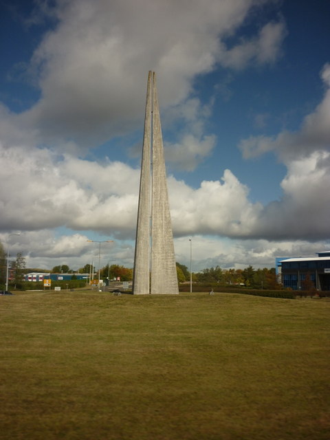
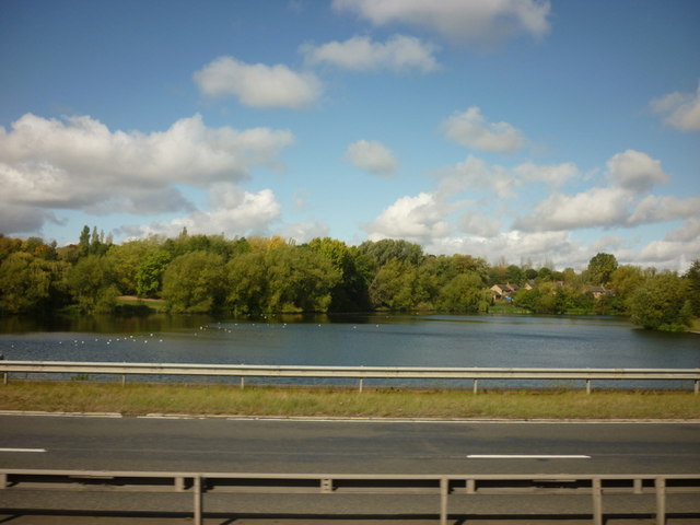
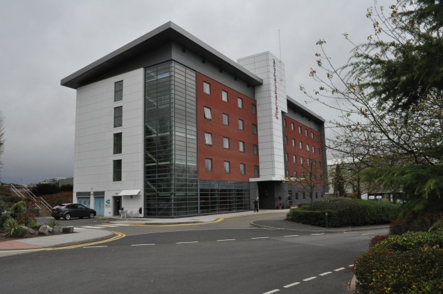
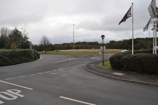
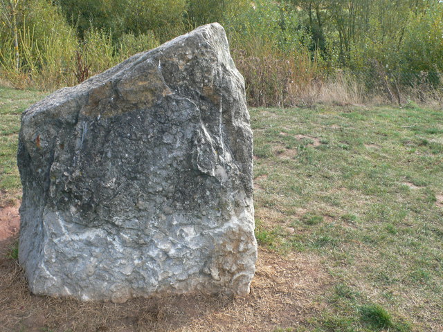
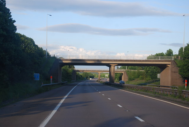
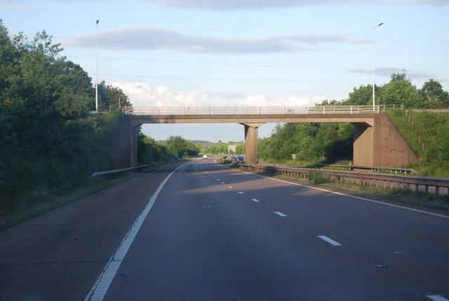
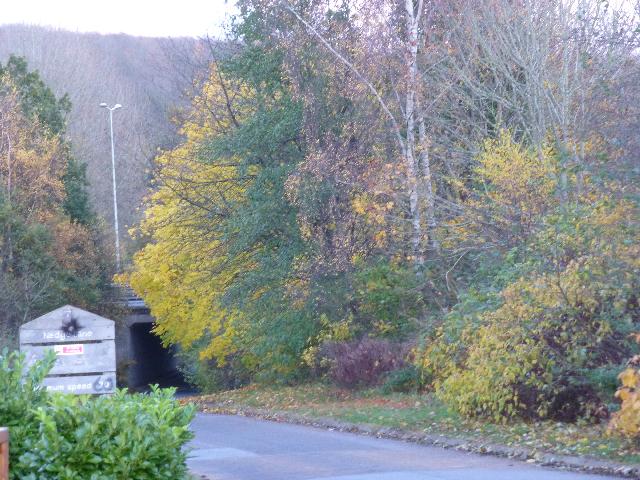
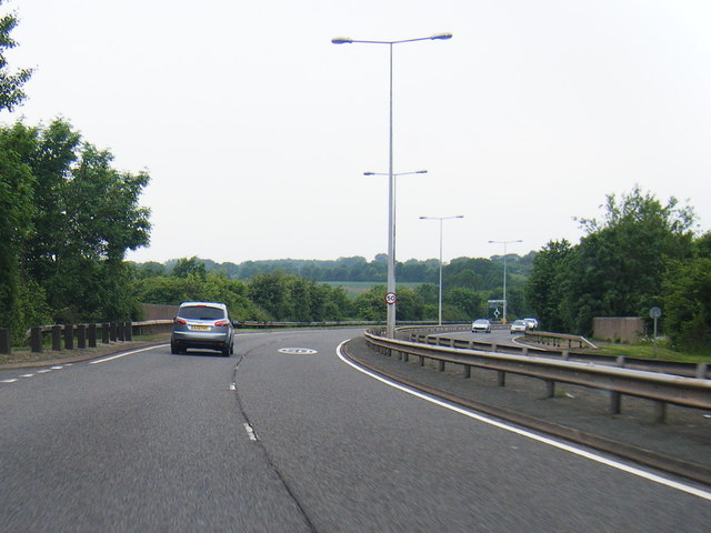
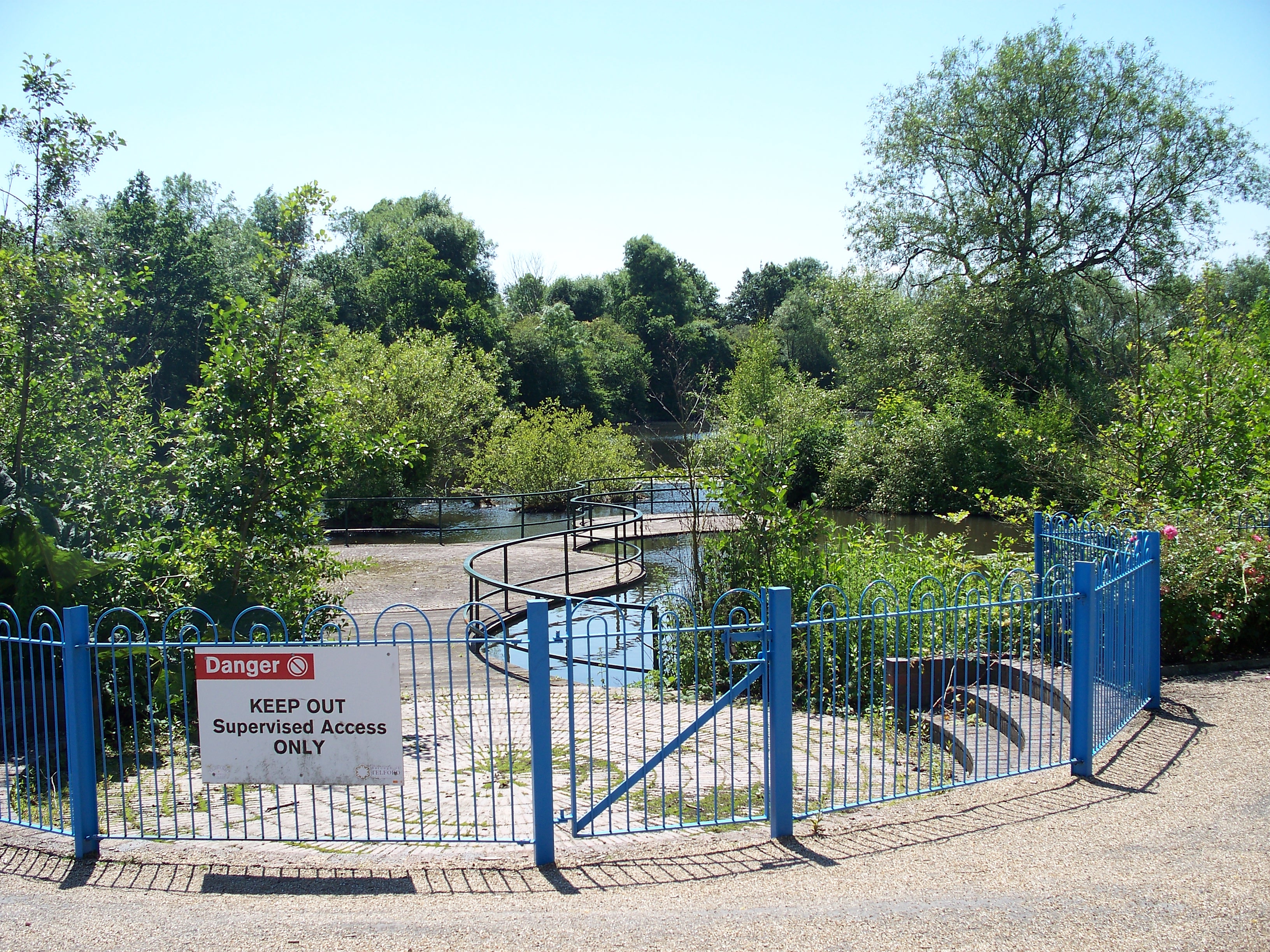
Nedge Hill Images

Images are sourced within 2km of 52.663406/-2.4184957 or Grid Reference SJ7107. Thanks to Geograph Open Source API. All images are credited.

The Obelisk on the Nairn roundabout Telford
Holmer Lake from the A442, Queenway
Telford International Hotel Typical modern sleeping facility.
Telford International Hotel
Typical modern sleeping facility.
St. Quentin Roundabout Taken from the entrance to the nearby hotel.
St. Quentin Roundabout
Taken from the entrance to the nearby hotel.
Telford Services If you're staying here and planning on visiting the museum at RAF Cosford, you might like to know that the cash machine at Cosford doesn't charge for withdrawals, unlike here.
Telford Services
If you're staying here and planning on visiting the museum at RAF Cosford, you might like to know that the cash machine at Cosford doesn't charge for withdrawals, unlike here.
A4169 at Hem Lane
A4169 at Hem Lane
A4169 at the junction for The Wyke
Welcome Break Service Station on the M54
Wenlock limestone rock at the M54 Service Station
M54 looking west at Junction 4
M54, Stafford Park The M54 is a 23 mile east-west motorway in Shropshire and Staffordshire. It is a two-lane dual carriageway for the majority of its length, with sections of three-lane.
The M54 spur connects the M6 motorway near Essington, Staffordshire with the A5 trunk road at Wellington, Shropshire. The motorway forms part of the route to North Wales, roughly following the path of the Roman Watling Street and the A5 north-westwards, towards the port of Holyhead.
M54, Stafford Park
The M54 is a 23 mile east-west motorway in Shropshire and Staffordshire. It is a two-lane dual carriageway for the majority of its length, with sections of three-lane. The M54 spur connects the M6 motorway near Essington, Staffordshire with the A5 trunk road at Wellington, Shropshire. The motorway forms part of the route to North Wales, roughly following the path of the Roman Watling Street and the A5 north-westwards, towards the port of Holyhead.
M54, Junction 4 The M54 is a 23 mile east-west motorway in Shropshire and Staffordshire. It is a two-lane dual carriageway for the majority of its length, with sections of three-lane.
The M54 spur connects the M6 motorway near Essington, Staffordshire with the A5 trunk road at Wellington, Shropshire. The motorway forms part of the route to North Wales, roughly following the path of the Roman Watling Street and the A5 north-westwards, towards the port of Holyhead.
M54, Junction 4
The M54 is a 23 mile east-west motorway in Shropshire and Staffordshire. It is a two-lane dual carriageway for the majority of its length, with sections of three-lane. The M54 spur connects the M6 motorway near Essington, Staffordshire with the A5 trunk road at Wellington, Shropshire. The motorway forms part of the route to North Wales, roughly following the path of the Roman Watling Street and the A5 north-westwards, towards the port of Holyhead.
M54, Junction 4 overbridge The M54 is a 23 mile east-west motorway in Shropshire and Staffordshire. It is a two-lane dual carriageway for the majority of its length, with sections of three-lane.
The M54 spur connects the M6 motorway near Essington, Staffordshire with the A5 trunk road at Wellington, Shropshire. The motorway forms part of the route to North Wales, roughly following the path of the Roman Watling Street and the A5 north-westwards, towards the port of Holyhead.
M54, Junction 4 overbridge
The M54 is a 23 mile east-west motorway in Shropshire and Staffordshire. It is a two-lane dual carriageway for the majority of its length, with sections of three-lane. The M54 spur connects the M6 motorway near Essington, Staffordshire with the A5 trunk road at Wellington, Shropshire. The motorway forms part of the route to North Wales, roughly following the path of the Roman Watling Street and the A5 north-westwards, towards the port of Holyhead.
Nedge Lane, Telford Leading under the A442 towards Nedge Farm.
Nedge Lane, Telford
Leading under the A442 towards Nedge Farm.
A464 heads towards Naird's Roundabout
A464 nears Randlay Roundabout
A442 nears Tweedale Interchange
Show me another place!

Nedge Hill is located at Grid Ref: SJ7107 (Lat: 52.663406, Lng: -2.4184957)

Unitary Authority: Shropshire

Police Authority: West Mercia

What 3 Words

///scanty.passports.decoding. Near Telford, Shropshire

Related Wikis

Telford Park School

The Telford Park School is a coeducational secondary school located in Stirchley, Telford, Shropshire, England. The school grounds was first established...

Brookside, Telford

Brookside is a housing estate and borough and parish council ward in Telford, Shropshire, England. The original settlement of Brookside is a Radburn estate...

Stirchley, Shropshire

Stirchley is a large village and suburb of Telford, in the borough of Telford and Wrekin and ceremonial county of Shropshire, England. Stirchley lies just...
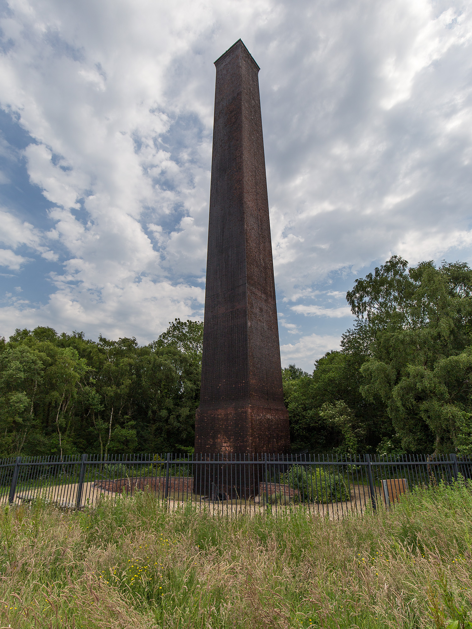
Stirchley Chimney

Stirchley Chimney is a chimney located in Telford Town Park. The chimney also marks a notable waypoint on the South Telford Heritage Trail. Measuring 209...
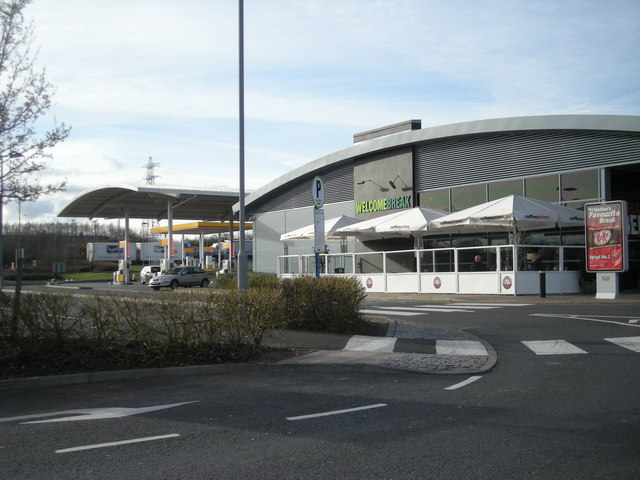
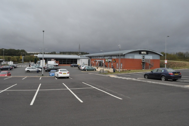
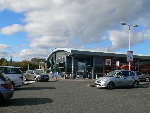
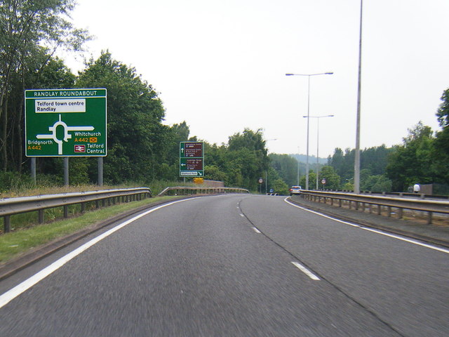
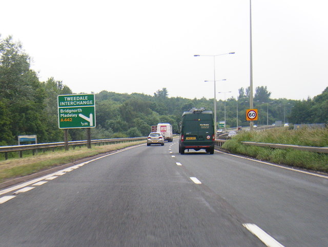
Telford services

Telford Motorway Service Station was opened in 2004 off Junction 4 of the M54 Motorway, near the town of Telford, Shropshire, England. The services are...

Malins Lee railway station

Malins Lee railway station was a station in Malinslee, Shropshire, England. The station was opened in 1862 and closed in 1952. The station site marks the...

Telford Town Park

Telford Town Park is a park and Local Nature Reserve in Telford in Shropshire. In 2015, it was voted "UK's Best Park" in the inaugural public competition...

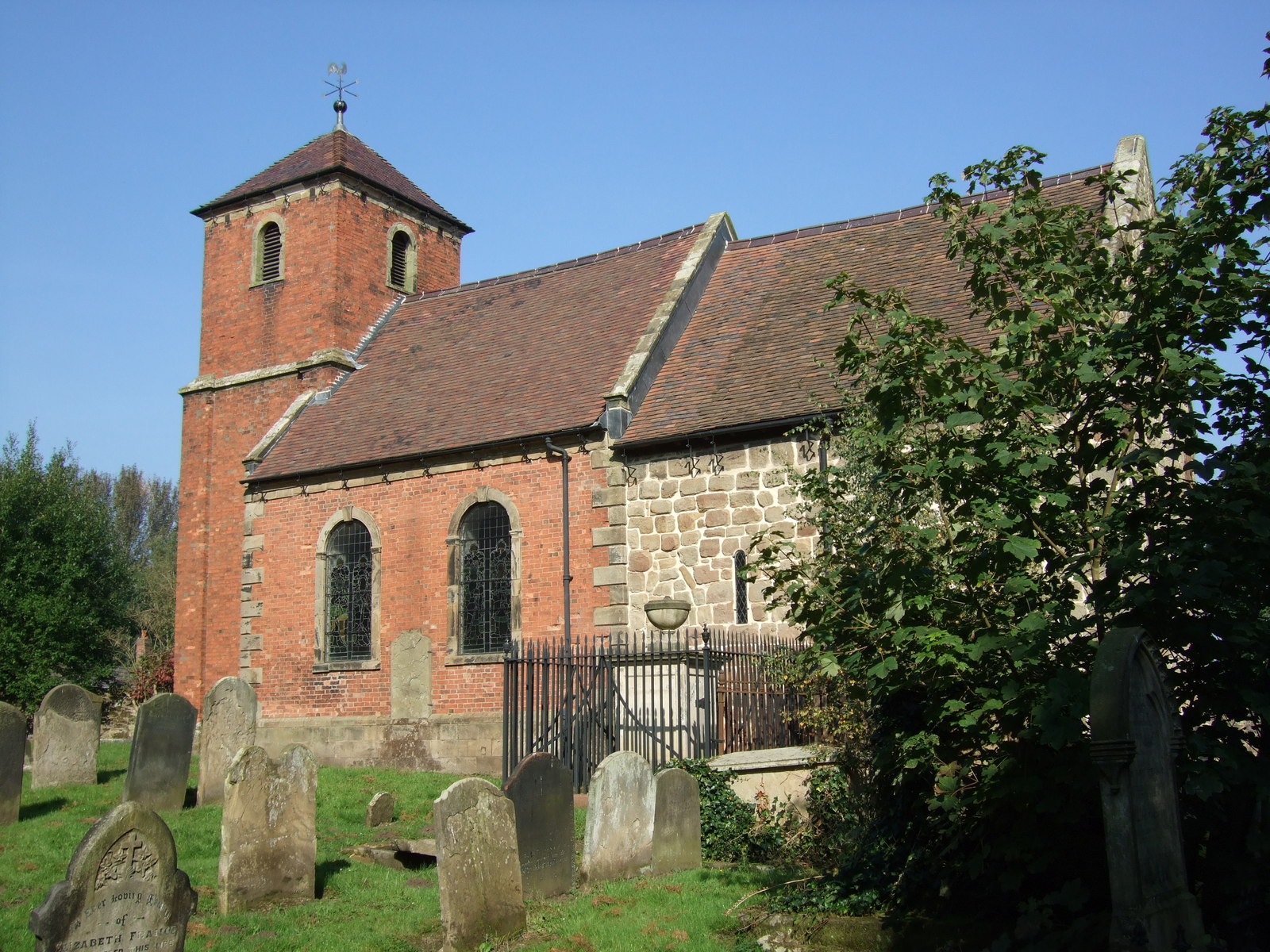
St James' Church, Stirchley

St James' Church is a redundant Anglican church in Stirchley, Shropshire, England. The church is recorded in the National Heritage List for England as...

Nearby Amenities

Located within 500m of 52.663406,-2.4184957
Nedge Hill
Ele: 163
Natural: peak
Lat/Long: 52.6636041/-2.4185798
Source: OS_OpenData_StreetView
Tourism: picnic_site
Lat/Long: 52.6612703/-2.4181287
The data included in this document is from www.openstreetmap.org. The data is made available under ODbL.

Have you been to Nedge Hill?

Leave your review of Nedge Hill below (or comments, questions and feedback).