Mill Hill

Hill, Mountain in Aberdeenshire

Scotland

Mill Hill

Fields of Meikle Wartle
Fields of Meikle Wartle Credit: Ralph Greig

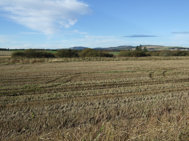
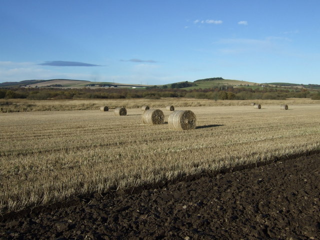
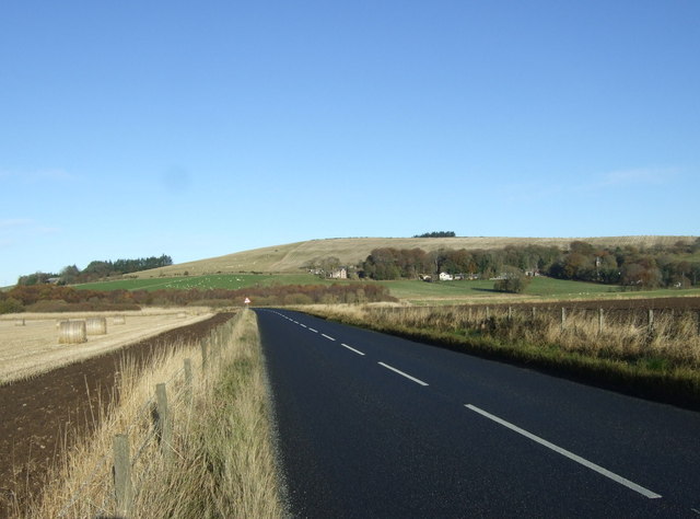
Mill Hill is a prominent hill located in Aberdeenshire, Scotland. Standing at an elevation of approximately 330 meters (1,083 feet), it is a popular destination for hikers, nature enthusiasts, and outdoor adventurers. The hill is situated in the eastern part of Aberdeenshire, offering breathtaking panoramic views of the surrounding countryside.

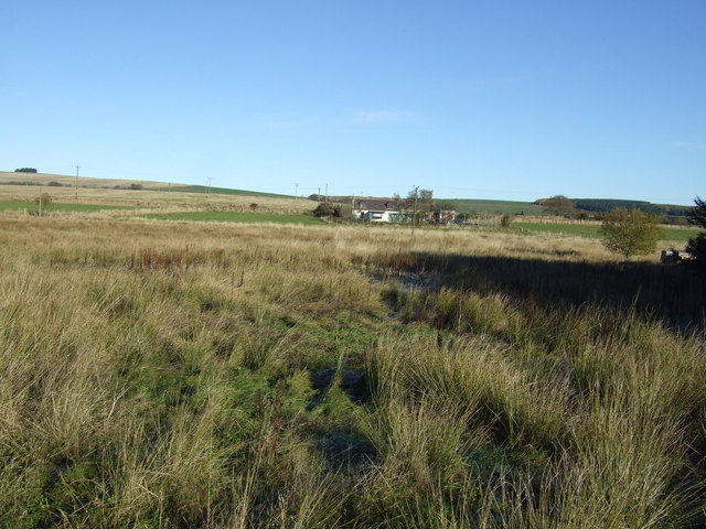
Mill Hill is known for its diverse flora and fauna, making it an ideal spot for wildlife observation. The hill is covered in rich heather moorland, interspersed with patches of woodland and grassy areas. Visitors can expect to encounter a variety of bird species, including red grouse, skylarks, and meadow pipits. The hill is also home to several species of small mammals, such as rabbits and voles.

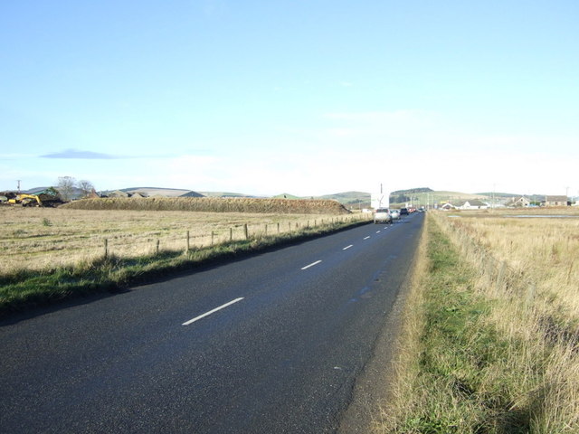
The hill is easily accessible, with well-maintained footpaths leading to the summit. These paths provide visitors with a relatively easy and enjoyable hiking experience. Along the way, hikers can appreciate the natural beauty of the area, including the rolling hills, scattered rocks, and vibrant wildflowers.

At the top of Mill Hill, hikers are rewarded with breathtaking views of the Aberdeenshire countryside. On clear days, it is possible to see as far as the North Sea and the distant mountains of the Cairngorms National Park. This vantage point offers a unique opportunity to capture stunning photographs or simply admire the natural splendor of the area.

Overall, Mill Hill in Aberdeenshire is a magnificent destination for those seeking to immerse themselves in the beauty of the Scottish countryside. With its diverse wildlife, picturesque landscapes, and accessible hiking trails, it is a must-visit location for outdoor enthusiasts and nature lovers alike.

If you have any feedback on the listing, please let us know in the comments section below.

Mill Hill Images

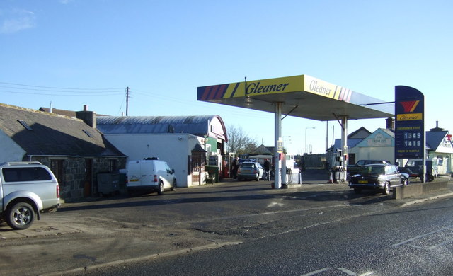
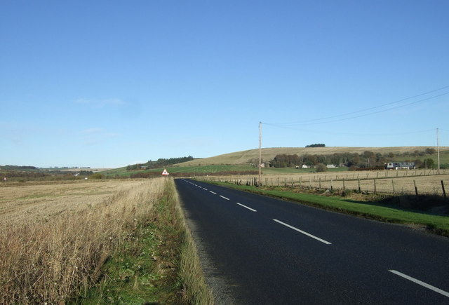
Images are sourced within 2km of 57.365402/-2.470686 or Grid Reference NJ7130. Thanks to Geograph Open Source API. All images are credited.

Fields of Meikle Wartle
Road through Meikle Wartle
Broomhillock Shelter A shelterbelt of trees hiding Broomhillock Farm.
Broomhillock Shelter
A shelterbelt of trees hiding Broomhillock Farm.
Farmland towards Whitehaugh
Drain beside the B9001
B9001 heading north  Towards Rothienorman.
B9001 heading north
Towards Rothienorman.
Farmland near Causewayfold
B9001 heading north west Towards Rothienorman.
B9001 heading north west
Towards Rothienorman.
B9001 approaching junction at Drum Heading north west towards Rothienorman.
B9001 approaching junction at Drum
Heading north west towards Rothienorman.
The Drum Inn
The Drum Inn
Drum Service Station
Stubble field, Drumnacartle
B9001 heading north  Towards Rothienorman.
B9001 heading north
Towards Rothienorman.
Stubble field west of the B9001
B9001 heading north  Towards Rothienorman.
B9001 heading north
Towards Rothienorman.
Minor road near Tocher
Road junction near Meikle Wartle
Roads at Fordmouth Croft
Show me another place!

Mill Hill is located at Grid Ref: NJ7130 (Lat: 57.365402, Lng: -2.470686)

Unitary Authority: Aberdeenshire

Police Authority: North East

What 3 Words

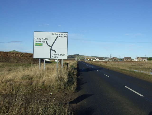
///rainbow.mirroring.viewer. Near Rothienorman, Aberdeenshire

Nearby Locations

Mill Hill Meikle Wartle

Related Wikis

Meikle Wartle

Meikle Wartle is a small rural village in Aberdeenshire, Scotland. It is around 7 miles north of Inverurie. Local facilities include a village hall dating...

Wartle railway station

Wartle railway station was a railway station that served local farms and the nearby hamlet of Meikle Wartle, Aberdeenshire. It was opened in 1857 by the...

Folla Rule

Folla Rule is a hamlet in Aberdeenshire, Scotland, on the site of the 1376 chapel of St Rule at Folla. Another church, St George's Episcopal, was built...

Loanhead of Daviot stone circle

Loanhead of Daviot stone circle is a recumbent stone circle in Aberdeenshire in lowland northeast Scotland. The circle consists of the recumbent stone...

Nearby Amenities

Located within 500m of 57.365402,-2.470686
Meikle Wartle
Place: village
Wikidata: Q6810060
Wikipedia: en:Meikle Wartle
Lat/Long: 57.3677405/-2.4641279
Power: pole
Lat/Long: 57.369682/-2.4693959
Power: pole
Lat/Long: 57.3691981/-2.4702723
Power: pole
Lat/Long: 57.3687038/-2.4711831
Power: pole
Lat/Long: 57.3681402/-2.4722244
Power: pole
Lat/Long: 57.3676532/-2.4731602
Power: pole
Lat/Long: 57.3672633/-2.4738831
Power: pole
Lat/Long: 57.3666967/-2.4749627
Power: pole
Lat/Long: 57.3665746/-2.4755131
Power: pole
Lat/Long: 57.3663699/-2.4765275
Power: pole
Lat/Long: 57.3660452/-2.4773713
Power: pole
Lat/Long: 57.3656926/-2.4783071
Power: pole
Lat/Long: 57.3669469/-2.477122
Power: pole
Lat/Long: 57.3675115/-2.4777107
Power: pole
Lat/Long: 57.3683781/-2.4646172
Power: pole
Lat/Long: 57.3679593/-2.4643871
Power: pole
Lat/Long: 57.36739/-2.4640602
Power: pole
Lat/Long: 57.366751/-2.4647658
Power: pole
Lat/Long: 57.3661315/-2.4654658
Power: pole
Lat/Long: 57.3658327/-2.4660008
Power: pole
Lat/Long: 57.3653694/-2.4668023
Power: pole
Lat/Long: 57.3650198/-2.4674275
Power: pole
Lat/Long: 57.3612709/-2.46858
Power: pole
Lat/Long: 57.3660602/-2.4747911
Power: pole
Lat/Long: 57.3655255/-2.474049
Power: pole
Lat/Long: 57.3650043/-2.4741487
Power: pole
Lat/Long: 57.3644356/-2.474258
Power: pole
Lat/Long: 57.3638533/-2.4743731
Generator Method: photovoltaic
Generator Output Electricity: yes
Generator Source: solar
Generator Type: solar_photovoltaic_panel
Location: roof
Power: generator
Lat/Long: 57.3675894/-2.4637887
Generator Method: photovoltaic
Generator Output Electricity: yes
Generator Source: solar
Generator Type: solar_photovoltaic_panel
Location: roof
Power: generator
Lat/Long: 57.3674375/-2.4681003
Generator Method: photovoltaic
Generator Output Electricity: yes
Generator Source: solar
Generator Type: solar_photovoltaic_panel
Location: roof
Power: generator
Lat/Long: 57.3668091/-2.4684678
Generator Method: photovoltaic
Generator Output Electricity: yes
Generator Source: solar
Generator Type: solar_photovoltaic_panel
Location: roof
Power: generator
Lat/Long: 57.3678801/-2.4660149
Generator Method: photovoltaic
Generator Output Electricity: yes
Generator Source: solar
Generator Type: solar_photovoltaic_panel
Location: roof
Power: generator
Lat/Long: 57.3680942/-2.4649286
The data included in this document is from www.openstreetmap.org. The data is made available under ODbL.

Have you been to Mill Hill?

Leave your review of Mill Hill below (or comments, questions and feedback).