Haber Hill
Hill, Mountain in Westmorland Eden
England
Haber Hill
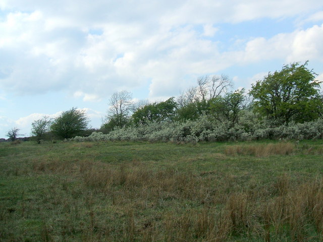
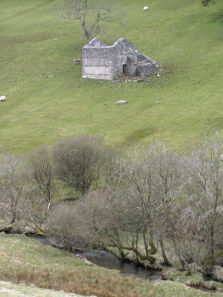
Haber Hill, located in Westmorland, is a prominent hill/mountain in the region known for its picturesque beauty and unique natural features. Standing at an elevation of approximately 1,500 feet, it offers breathtaking panoramic views of the surrounding countryside, making it a popular destination for nature enthusiasts and hikers alike.
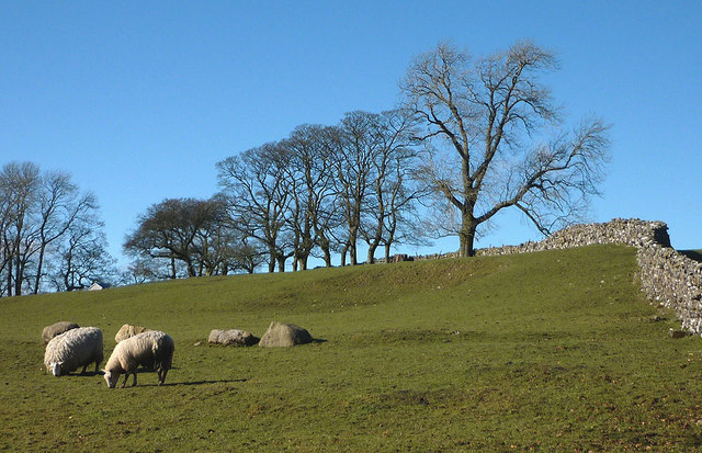
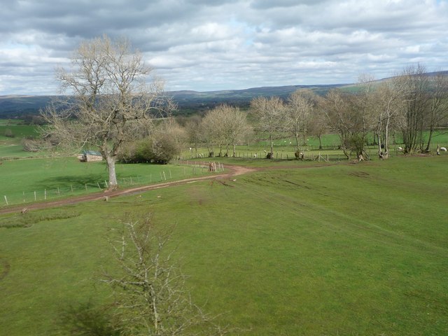
Covered in lush green vegetation, Haber Hill is home to a diverse range of flora and fauna, adding to its charm and ecological significance. The hill is characterized by its gently sloping terrain, making it accessible to visitors of all ages and fitness levels. It is also known for its well-maintained hiking trails, allowing visitors to explore its various peaks and valleys.
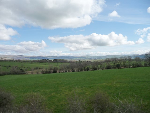
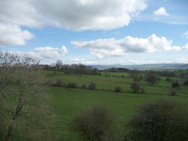
The summit of Haber Hill provides an ideal vantage point to admire the stunning landscape below. On a clear day, one can see the rolling hills, meandering rivers, and nearby lakes, creating a postcard-worthy view. Additionally, the hill boasts a unique rock formation, adding an element of geological interest to the area.
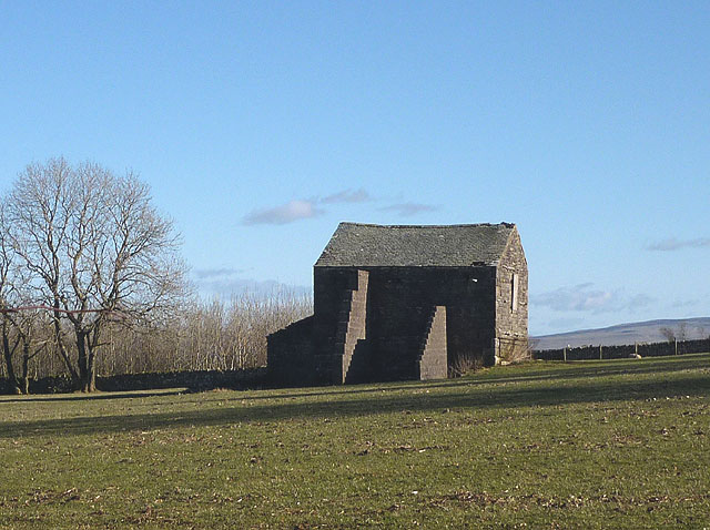
Apart from its scenic beauty, Haber Hill also holds historical significance. It is said to have been a strategic lookout point during ancient times, providing an advantageous position for early settlers to observe any incoming threats. This historical aspect adds an intriguing layer to the hill's appeal.
In summary, Haber Hill in Westmorland is a captivating destination that offers visitors a chance to immerse themselves in nature, witness breathtaking views, and appreciate the rich history and ecological diversity of the region.
If you have any feedback on the listing, please let us know in the comments section below.
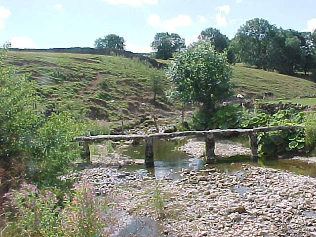
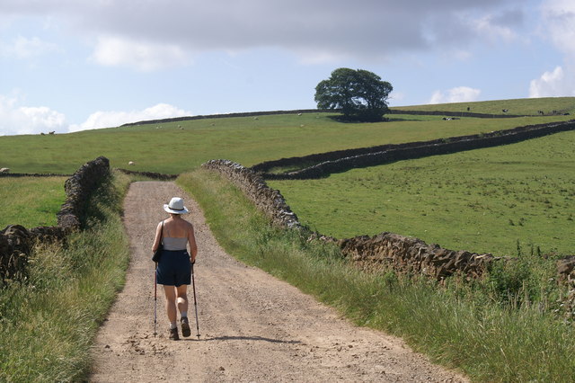
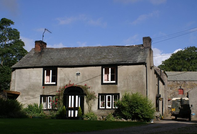
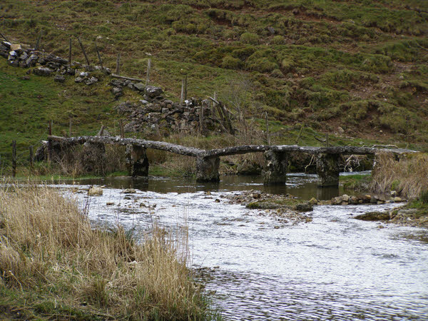
Haber Hill Images
Images are sourced within 2km of 54.481176/-2.4368195 or Grid Reference NY7109. Thanks to Geograph Open Source API. All images are credited.


Haber Hill is located at Grid Ref: NY7109 (Lat: 54.481176, Lng: -2.4368195)
Administrative County: Cumbria
District: Eden
Police Authority: Cumbria
What 3 Words
///relegate.squares.shovels. Near Kirkby Stephen, Cumbria
Nearby Locations
Related Wikis
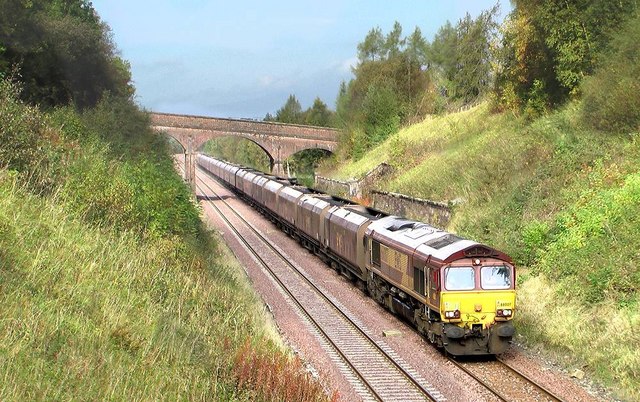
Crosby Garrett railway station
Crosby Garrett was a railway station which served the village of Crosby Garrett in Cumbria, England. It was situated on the Settle-Carlisle Line 38+1⁄4...

Crosby Garrett
Crosby Garrett is a hamlet and civil parish in the Eden District of Cumbria, England. It was formerly in the county of Westmorland. In the 2011 census...
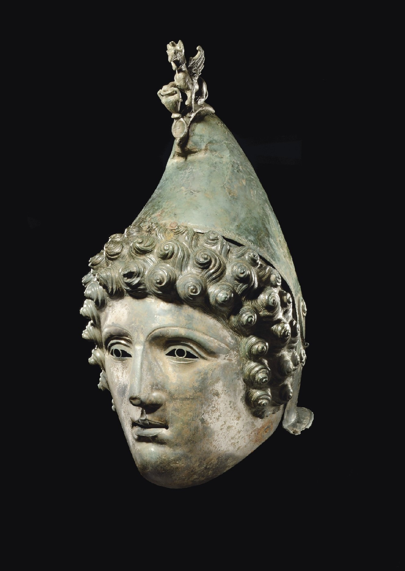
Crosby Garrett Helmet
The Crosby Garrett Helmet is a copper alloy Roman cavalry helmet dating from the late 2nd or early 3rd century AD. It was found by an unnamed metal detectorist...
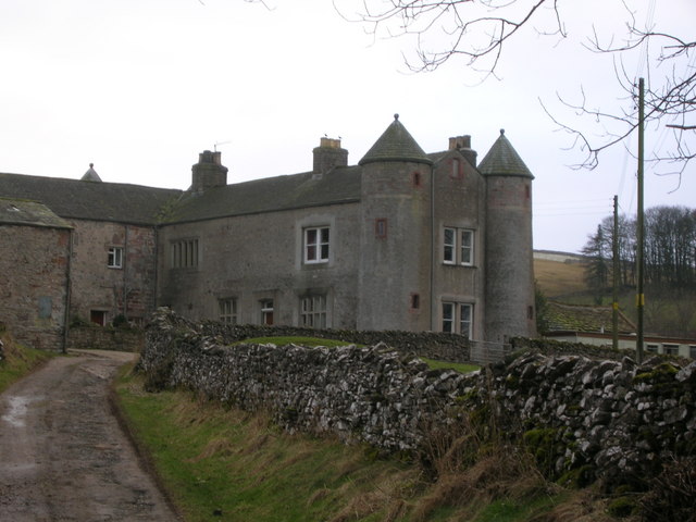
St Andrew's Church, Crosby Garrett
St Andrew's Church is in the village of Crosby Garrett, Cumbria, England. It is an active Anglican parish church in the deanery of Appleby, the archdeaconry...

Little Asby
Little Asby is a small village in Cumbria, England. Historically part of Westmorland, its name is said to be derived from the Norse words askr, meaning...
Smardale
Smardale is a small village and former civil parish, now in the parish of Waitby, in the Eden district, in Cumbria, England. In 1891 the parish had a population...

Smardale railway station
Smardale railway station was a minor station on the South Durham & Lancashire Union Railway between Tebay and Kirkby Stephen East. It served the villages...
East Westmorland Rural District
East Westmorland was the name of a rural district in the administrative county of Westmorland from 1894 to 1935. The district was created by the Local...
Nearby Amenities
Located within 500m of 54.481176,-2.4368195Have you been to Haber Hill?
Leave your review of Haber Hill below (or comments, questions and feedback).