Charleydale

Valley in Westmorland Eden

England

Charleydale

Blossom on Access Land, Little Asby
Blossom on Access Land, Little Asby Credit: David Brown

Charleydale is a picturesque valley located in the county of Westmorland, England. Nestled amidst the stunning countryside of the Lake District National Park, it is renowned for its breathtaking natural beauty and tranquil atmosphere. The valley is situated about 10 miles northwest of the town of Kendal, making it easily accessible for visitors.

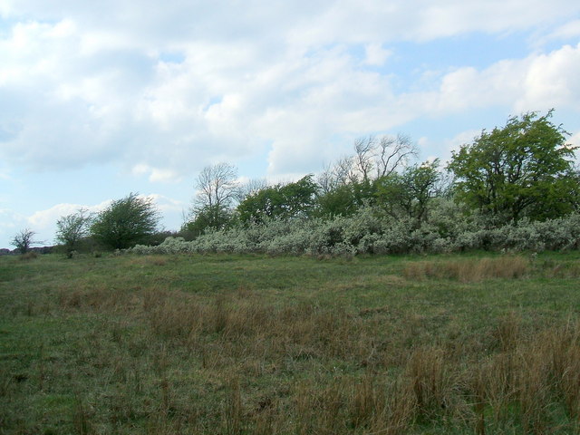
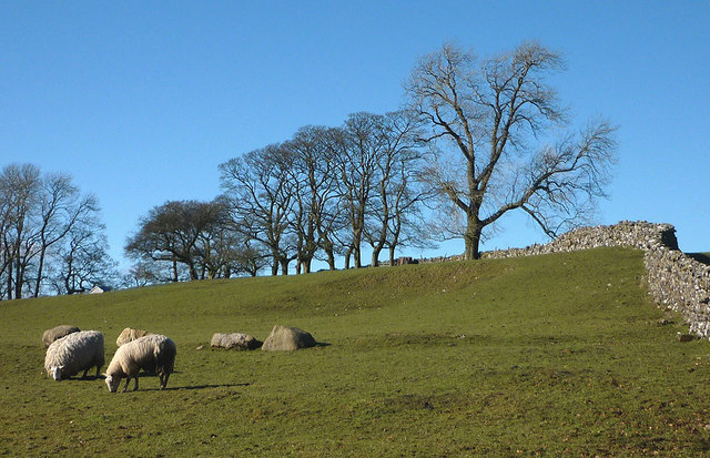
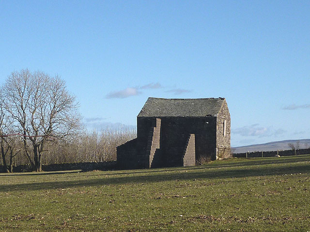
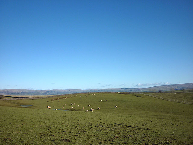
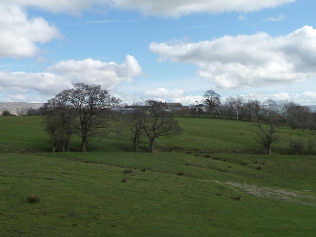
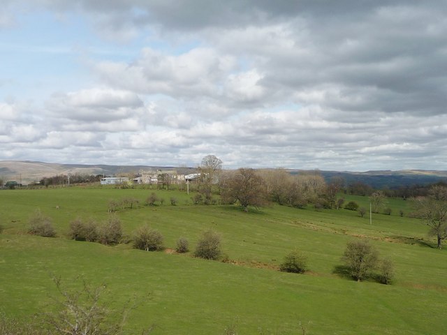
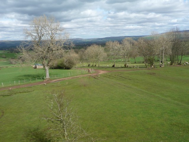
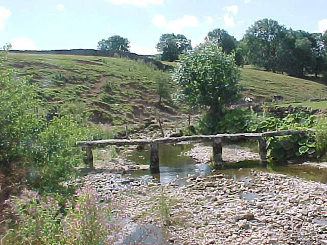
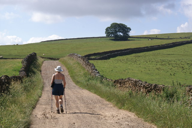
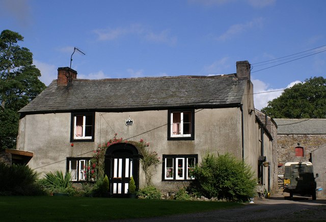
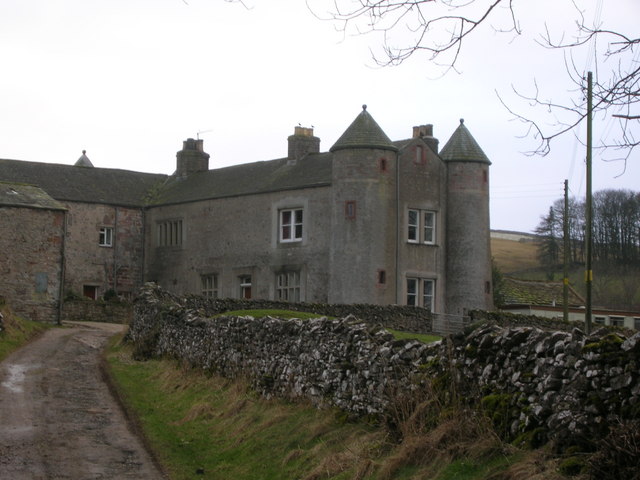
The landscape of Charleydale is characterized by rolling hills, lush green meadows, and charming little streams that meander through the valley. The area is dotted with traditional stone-built cottages, adding to its idyllic charm. With its unspoiled beauty, it is a popular destination for nature lovers, hikers, and photographers.

The valley is home to a diverse range of flora and fauna, including rare species of wildflowers, butterflies, and birds. It offers numerous walking trails and hiking routes, allowing visitors to explore the picturesque surroundings at their own pace. The nearby fells provide stunning panoramic views of the valley and the surrounding landscape.

Charleydale also boasts a rich cultural heritage. The valley is known for its historic sites, including ancient stone circles, burial mounds, and remnants of old settlements. These archaeological treasures offer a glimpse into the area's past and attract history enthusiasts.

Although Charleydale is a peaceful and secluded destination, it is not devoid of amenities. The nearby town of Kendal offers a range of accommodation options, restaurants, and shops, ensuring that visitors have access to all necessary facilities.

In conclusion, Charleydale in Westmorland is a hidden gem in the Lake District, offering visitors a chance to immerse themselves in the natural beauty and serenity of the English countryside.

If you have any feedback on the listing, please let us know in the comments section below.
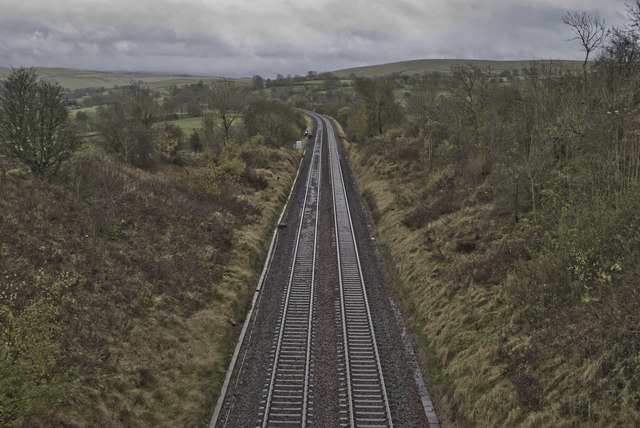
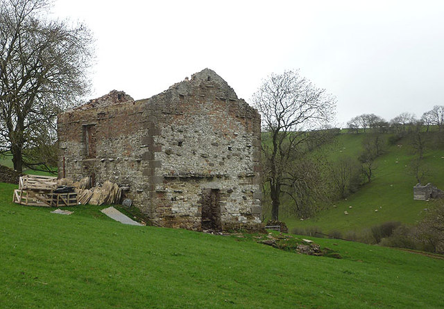
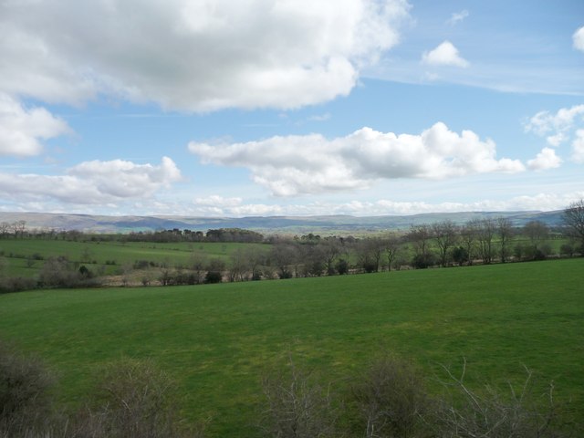
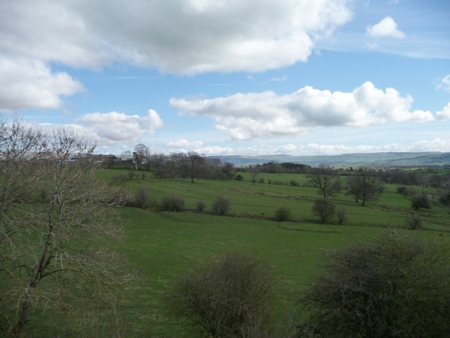
Charleydale Images

Images are sourced within 2km of 54.483563/-2.4376784 or Grid Reference NY7109. Thanks to Geograph Open Source API. All images are credited.

Blossom on Access Land, Little Asby
Sheep at Whygill Head Also, looking rather sheep-like, some erratic boulders of Shap granite which are often found scattered over these limestone uplands east of the Lake District.
Sheep at Whygill Head
Also, looking rather sheep-like, some erratic boulders of Shap granite which are often found scattered over these limestone uplands east of the Lake District.
Buttressed barn north of Little Asby This reminded me of these structures <a title="https://www.geograph.org.uk/photo/2035139" href="https://www.geograph.org.uk/photo/2035139">Link</a> just a few kilometres away. Perhaps a rogue barn builder operated in these parts?
Buttressed barn north of Little Asby
This reminded me of these structures Link just a few kilometres away. Perhaps a rogue barn builder operated in these parts?
Sheep grazing above Whygill Head Looking across high pastures towards the moors above Stainmore and the upper Eden Valley.
Sheep grazing above Whygill Head
Looking across high pastures towards the moors above Stainmore and the upper Eden Valley.
Settle to Carlisle line near Gallansay
Destroyed barn, Potts Valley Three years ago this barn had a roof and looked to be in reasonable condition <a href="https://www.geograph.org.uk/photo/2035131">NY7110 : Track into Potts Valley</a> Now the roof is gone and the flags and slates are being crated up for disposal. One large roof beam was lying nearby but fire (recent judging by the smell and ashes) seems to have destroyed everything else inside. Note the similarly roofless barn on the opposite bank. Just up the track is <a href="https://www.geograph.org.uk/photo/1106163">NY7009 : Potts</a> farmstead, similarly abandoned and decaying.
Destroyed barn, Potts Valley
Three years ago this barn had a roof and looked to be in reasonable condition NY7110 : Track into Potts Valley Now the roof is gone and the flags and slates are being crated up for disposal. One large roof beam was lying nearby but fire (recent judging by the smell and ashes) seems to have destroyed everything else inside. Note the similarly roofless barn on the opposite bank. Just up the track is NY7009 : Potts farmstead, similarly abandoned and decaying.
Field boundary, south side, valley of Wygill Beck Seen from the open window of a northbound train on the Settle Carlisle line.
Field boundary, south side, valley of Wygill Beck
Seen from the open window of a northbound train on the Settle Carlisle line.
Trees along a beck, south-west of Stockbar Seen from the open window of a northbound train on the Settle Carlisle line.
Trees along a beck, south-west of Stockbar
Seen from the open window of a northbound train on the Settle Carlisle line.
Stockbar, Grassgill Seen from the open window of a northbound train on the Settle Carlisle line.
Stockbar, Grassgill
Seen from the open window of a northbound train on the Settle Carlisle line.
Farmland south-west of Stockbar Seen from the open window of a southbound train on the Settle Carlisle line.
Farmland south-west of Stockbar
Seen from the open window of a southbound train on the Settle Carlisle line.
Stockbar Farm, from the south-west Seen from the open window of a southbound train on the Settle Carlisle line.
Stockbar Farm, from the south-west
Seen from the open window of a southbound train on the Settle Carlisle line.
Farm track to Gallansay Lane Seen from the open window of a southbound train on the Settle Carlisle line.
Farm track to Gallansay Lane
Seen from the open window of a southbound train on the Settle Carlisle line.
Clapper bridge over Helm Beck
Newclose Lane This lane leads up to Wander Bank Reservoir and offers fine views.
Newclose Lane
This lane leads up to Wander Bank Reservoir and offers fine views.
Whygill Head Farm The first case of the 2001 Foot and Mouth epidemic was in Essex on Feb 19th. As the disease spread Cumbria became one of the worst affected areas.The final case in Britain was reported from this farm at Whygill on Sept 30th.
Whygill Head Farm
The first case of the 2001 Foot and Mouth epidemic was in Essex on Feb 19th. As the disease spread Cumbria became one of the worst affected areas.The final case in Britain was reported from this farm at Whygill on Sept 30th.
Settle to Carlisle Railway Looking N towards Carlisle, the train is checking the condition of the track.
Settle to Carlisle Railway
Looking N towards Carlisle, the train is checking the condition of the track.
Settle to Carlisle Railway Looking S towards Settle
Settle to Carlisle Railway
Looking S towards Settle
Settle to Carlisle Railway Looking S towards Crosby Garrett
Settle to Carlisle Railway
Looking S towards Crosby Garrett
Show me another place!

Charleydale is located at Grid Ref: NY7109 (Lat: 54.483563, Lng: -2.4376784)

Administrative County: Cumbria

District: Eden

Police Authority: Cumbria

What 3 Words

///spots.washable.politics. Near Kirkby Stephen, Cumbria

Nearby Locations

Haber Hill Charleydale

Related Wikis

Nearby Amenities

Located within 500m of 54.483563,-2.4376784
Wander Bank
Ele: 320
Natural: peak
Lat/Long: 54.4809411/-2.4422947
Power: pole
Lat/Long: 54.4835346/-2.4449222
Power: pole
Lat/Long: 54.4826271/-2.4445643
Power: pole
Lat/Long: 54.4816679/-2.444155
The data included in this document is from www.openstreetmap.org. The data is made available under ODbL.

Have you been to Charleydale?

Leave your review of Charleydale below (or comments, questions and feedback).